Hall Hill

Hill, Mountain in Renfrewshire

Scotland

Hall Hill

Thirdpart Hall farm from the air The smaller Warbowie can also be seen across Black Cart Water.
Thirdpart Hall farm from the air Credit: Thomas Nugent

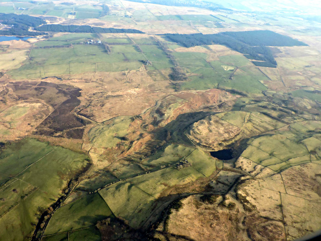
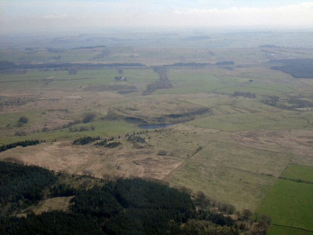
Hall Hill is a prominent hill located in Renfrewshire, Scotland. Situated in the southern part of the county, it is part of the larger Clyde Muirshiel Regional Park and offers breathtaking views of the surrounding landscape. Standing at an elevation of approximately 430 meters (1,411 feet), it is one of the highest points in the area, making it a popular destination for hikers and nature enthusiasts.

The hill is characterized by its gentle slopes and lush greenery, which is predominantly covered by a mixture of heather, grasses, and scattered trees. The diverse flora and fauna found on Hall Hill contribute to the area's ecological significance. The hill is also home to a variety of bird species, including buzzards and kestrels, which can often be seen soaring above the slopes.

The summit of Hall Hill offers panoramic views across the picturesque Renfrewshire countryside, with vistas extending as far as the Highland mountains in the north and the Ayrshire coast in the west. On clear days, visitors can even catch a glimpse of the distinctive outlines of the Isle of Arran and the Firth of Clyde.

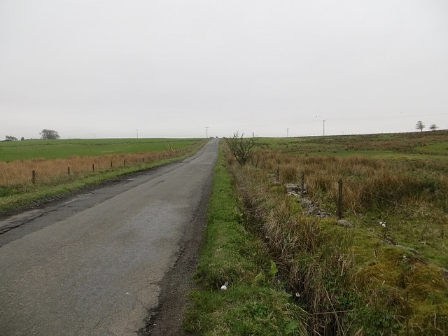
Accessible by a network of well-maintained trails, Hall Hill provides ample opportunities for outdoor activities such as walking, hiking, and nature photography. Its close proximity to urban areas and excellent transportation links make it easily accessible for day trips or longer excursions. Whether exploring the hill's natural beauty or simply enjoying the tranquility of the surroundings, Hall Hill offers a memorable experience for all who visit.

If you have any feedback on the listing, please let us know in the comments section below.
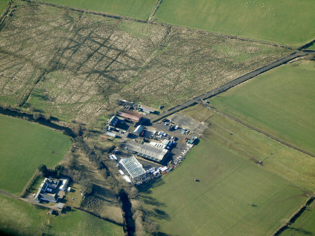
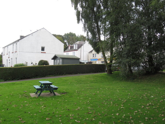
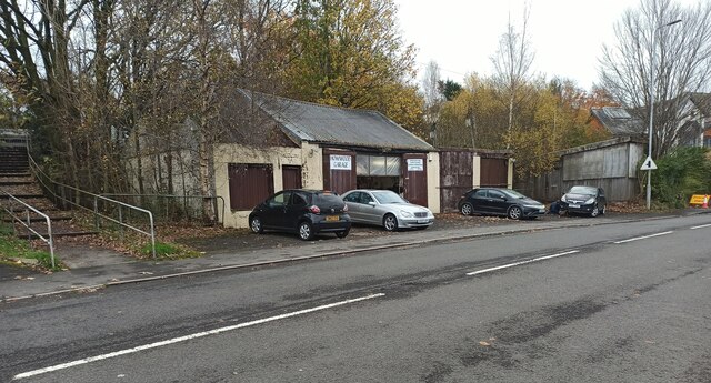
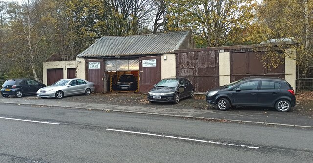
Hall Hill Images

Images are sourced within 2km of 55.812985/-4.5294251 or Grid Reference NS4160. Thanks to Geograph Open Source API. All images are credited.

Thirdpart Hall farm from the air The smaller Warbowie can also be seen across Black Cart Water.
Thirdpart Hall farm from the air
The smaller Warbowie can also be seen across Black Cart Water.
Green, Howwood
Green, Howwood
Howwood Garage On Beith Road.
Howwood Garage
On Beith Road.
Howwood Garage On Beith Road.
Howwood Garage
On Beith Road.
Road, Craigmuir On the igneous uplands south of Paisley and Johnstone.
Road, Craigmuir
On the igneous uplands south of Paisley and Johnstone.
Walls Hill fort from the air The hill, which is beyond Walls Loch, is the site of an iron age fort. This <span class="nowrap"><a title="http://canmore.rcahms.gov.uk/en/site/43011/details/walls+hill/" rel="nofollow ugc noopener" href="http://canmore.rcahms.gov.uk/en/site/43011/details/walls+hill/">Link</a><img style="margin-left:2px;" alt="External link" title="External link - shift click to open in new window" src="https://s1.geograph.org.uk/img/external.png" width="10" height="10"/></span> to Canmore provides more details.
Walls Hill fort from the air
The hill, which is beyond Walls Loch, is the site of an iron age fort. This LinkExternal link to Canmore provides more details.
Road through Skifton Wood
Farmland east of Skifton Wood Looking north over Johnstone and Bridge of Weir, to the Kilpatrick Hills.
Farmland east of Skifton Wood
Looking north over Johnstone and Bridge of Weir, to the Kilpatrick Hills.
B787 through Howwood
Howwood 1st railway station (site), Renfrewshire Opened in 1840 by the Glasgow, Paisley, Kilmarnock & Ayr Railway, this station only lasted a few months. View north east towards Milliken Park and Glasgow. 
In 1876, the Glasgow & South Western Railway opened a new station immediately behind the camera position. There is still a station on this site today. See <a href="https://www.geograph.org.uk/photo/3702522">NS3960 : Howwood railway station, Renfrewshire</a>.
Howwood 1st railway station (site), Renfrewshire
Opened in 1840 by the Glasgow, Paisley, Kilmarnock & Ayr Railway, this station only lasted a few months. View north east towards Milliken Park and Glasgow. In 1876, the Glasgow & South Western Railway opened a new station immediately behind the camera position. There is still a station on this site today. See NS3960 : Howwood railway station, Renfrewshire.
Station Road, Howwood
Howwood Hall
Howwood Hall
Church of Christ The King, Bowfield Road, Howwood
Main Street, Howwood McGill's bus on the way to Paisley.
Main Street, Howwood
McGill's bus on the way to Paisley.
Howwood, Renfrewshire Village of 1500 inhabitants southwest of Paisley and Johnstone.
Howwood, Renfrewshire
Village of 1500 inhabitants southwest of Paisley and Johnstone.
Walls Hill from the air Walls Hill is just beyond Walls Loch and is the site of an ancient fort. Skiff Wood is in the foreground.
Walls Hill from the air
Walls Hill is just beyond Walls Loch and is the site of an ancient fort. Skiff Wood is in the foreground.
Cattle near Mountop Uplands south of Paisley
Cattle near Mountop
Uplands south of Paisley
Show me another place!

Hall Hill is located at Grid Ref: NS4160 (Lat: 55.812985, Lng: -4.5294251)

Unitary Authority: Renfrewshire

Police Authority: Renfrewshire and Inverclyde

What 3 Words

///scarves.recliner.entire. Near Howwood, Renfrewshire

Nearby Locations

Hall Hill Whitehill Glen

Related Wikis

Cochrane Castle

Cochrane Castle was a castle, 1 mile (1.6 km) west of Johnstone, Renfrewshire, Scotland, near the Black Cart Water. == History == The property was owned...

Milliken Park railway station

Milliken Park railway station serves the west end of Johnstone and the south west of the village of Kilbarchan in Renfrewshire, Scotland. The station is...

Walls Loch

Walls Loch is situated at a height of 560 feet, below the Walls Hill Iron Age fort and to the east of Broadfield Hill on the lands of North Castlewalls...

Howwood

Howwood (Scots: The Howewuid, Scottish Gaelic: Coille an Dail) is a village in Renfrewshire, Scotland. It is between Johnstone and Lochwinnoch, just off...

Nearby Amenities

Located within 500m of 55.812985,-4.5294251
Power: tower
Source: Bing
Lat/Long: 55.814885/-4.5310677
Power: tower
Source: Bing
Lat/Long: 55.8148681/-4.5254771
Spateston
Place: neighbourhood
Lat/Long: 55.8173773/-4.5294147
Power: tower
Source: Bing
Lat/Long: 55.8140288/-4.5225128
Power: tower
Source: Bing
Lat/Long: 55.8142756/-4.5275564
Power: tower
Source: Bing
Lat/Long: 55.8145357/-4.5328712
Ford: yes
Lat/Long: 55.8160236/-4.5241207
Power: pole
Lat/Long: 55.8099032/-4.5236686
Power: pole
Lat/Long: 55.8103492/-4.5242623
Power: pole
Lat/Long: 55.8103398/-4.5251144
Power: pole
Lat/Long: 55.8103269/-4.5259643
Power: pole
Lat/Long: 55.8098493/-4.5270809
Power: pole
Lat/Long: 55.8094864/-4.5279163
Power: pole
Lat/Long: 55.8091516/-4.5286912
Power: pole
Lat/Long: 55.8088613/-4.5293766
Power: pole
Lat/Long: 55.8108572/-4.5263976
Power: pole
Lat/Long: 55.8113699/-4.5267997
Power: pole
Lat/Long: 55.8118803/-4.5272059
Power: pole
Lat/Long: 55.8121694/-4.5278996
Power: pole
Lat/Long: 55.8125194/-4.5287454
Power: pole
Lat/Long: 55.8130661/-4.5300328
Power: pole
Lat/Long: 55.8135062/-4.5305057
Power: pole
Lat/Long: 55.8140329/-4.531089
The data included in this document is from www.openstreetmap.org. The data is made available under ODbL.

Have you been to Hall Hill?

Leave your review of Hall Hill below (or comments, questions and feedback).