Barwhanny Hill

Hill, Mountain in Wigtownshire

Scotland

Barwhanny Hill

Knockefferick Trig Point Flush Bracket S8231
Knockefferick Trig Point Flush Bracket S8231 Credit: thejackrustles

Barwhanny Hill is a prominent hill located in Wigtownshire, Scotland. With an elevation of 355 meters (1,165 feet), it is a notable feature in the region's landscape. Situated near the village of Kirkcowan, Barwhanny Hill offers breathtaking panoramic views of the surrounding countryside.

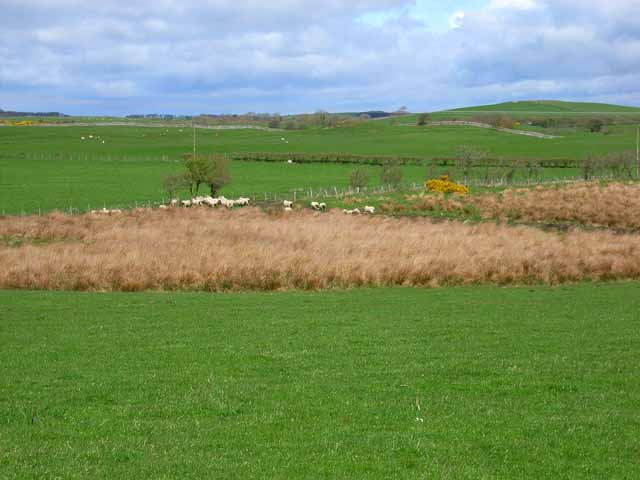
The hill is characterized by its gentle slopes and undulating terrain, making it accessible to both experienced hikers and casual walkers. Its grassy slopes are often grazed by sheep, adding to the picturesque countryside ambiance. The hill is also adorned with a variety of flora and fauna, including heather, gorse, and a diverse range of bird species.

Barwhanny Hill is a popular destination for outdoor enthusiasts, offering a range of activities such as hiking, birdwatching, and photography. The well-maintained trails provide opportunities for visitors to explore the hill's scenic beauty and take in the stunning vistas.

The hill's location in Wigtownshire, known for its rich history and cultural heritage, further enhances its appeal. Nearby attractions include the charming village of Kirkcowan, which offers quaint shops and historical sites, as well as the famous Wigtown Book Festival, held annually.

Barwhanny Hill, with its natural beauty, accessibility, and cultural significance, is a must-visit destination for nature lovers and those seeking a tranquil escape in the heart of Wigtownshire.

If you have any feedback on the listing, please let us know in the comments section below.

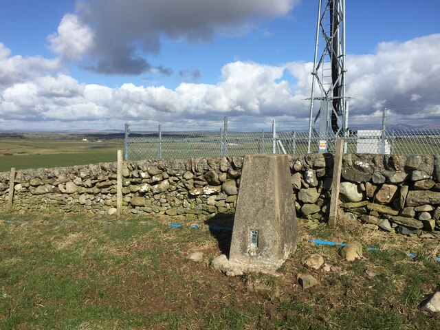
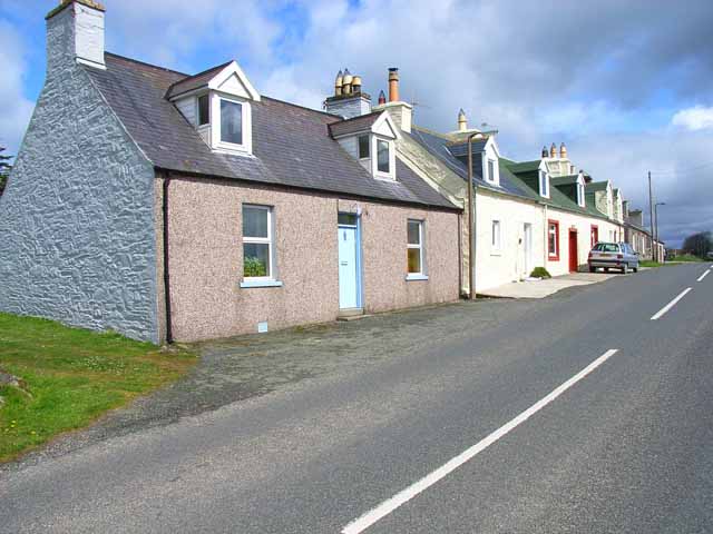
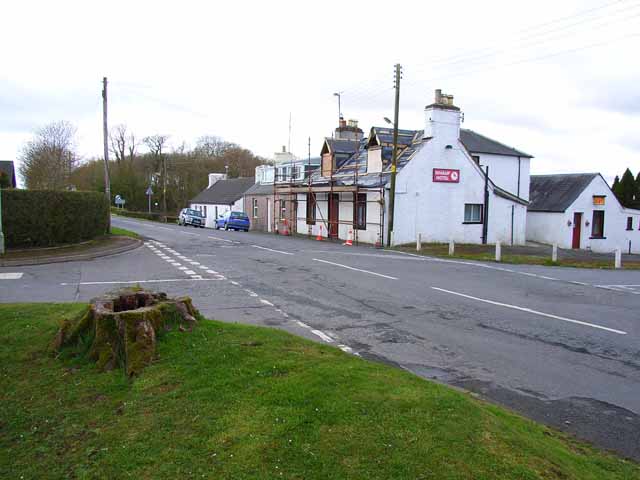
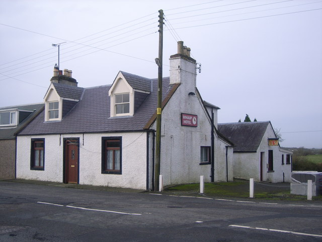
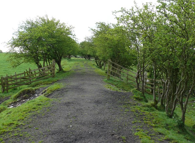
Barwhanny Hill Images

Images are sourced within 2km of 54.817328/-4.4748331 or Grid Reference NX4149. Thanks to Geograph Open Source API. All images are credited.

Knockefferick Trig Point Flush Bracket S8231
Old milestone This milestone at the north east end of Whauphill is on the left hand side of a drive into a house.   It is opposite the Station House junction.   The railway ran from Newton Stewart to Whithorn with a spur to Garlieston.   It has been cleared of vegetation and painted by a Milestone Society member.
Old milestone
This milestone at the north east end of Whauphill is on the left hand side of a drive into a house. It is opposite the Station House junction. The railway ran from Newton Stewart to Whithorn with a spur to Garlieston. It has been cleared of vegetation and painted by a Milestone Society member.
Old milestone Southwestwards into the village centre where the B7052 forms a crossroads with the B7085.
Old milestone
Southwestwards into the village centre where the B7052 forms a crossroads with the B7085.
Cottages near March Farm, Whauphill On the B7085 Portwilliam to Wigtown road. Typical of the small cottages found throughout southern Scotland.
Cottages near March Farm, Whauphill
On the B7085 Portwilliam to Wigtown road. Typical of the small cottages found throughout southern Scotland.
Whaup Hotel At the time of this photo, this pub in the centre of the tiny village of Whauphill was undergoing a face lift, following the death of the landlord. It has subsequently reopened as a pub and restaurant with an lively music programme; customers are active in fund-raising for cancer research. <span class="nowrap"><a title="http://www.whauphotel.co.uk" rel="nofollow ugc noopener" href="http://www.whauphotel.co.uk">Link</a><img style="margin-left:2px;" alt="External link" title="External link - shift click to open in new window" src="https://s1.geograph.org.uk/img/external.png" width="10" height="10"/></span>
Whaup Hotel
At the time of this photo, this pub in the centre of the tiny village of Whauphill was undergoing a face lift, following the death of the landlord. It has subsequently reopened as a pub and restaurant with an lively music programme; customers are active in fund-raising for cancer research. LinkExternal link
Farmland near March Farm Low lying pasture drained by "the Canal" - probably a canalised stream in reality.
Farmland near March Farm
Low lying pasture drained by "the Canal" - probably a canalised stream in reality.
Agricultural engineers at Whauphill
Knockeffrick Farm Road
The B7052 at Airies Hill Plantation
Telephone Box & purple village hall
The Whaup Hotel This looked a bit closed to me when I wanted to visit!
The Whaup Hotel
This looked a bit closed to me when I wanted to visit!
Little Airies - East View from B7052 across eastern fields of Little Airies towards Alts Plantation.
Little Airies - East
View from B7052 across eastern fields of Little Airies towards Alts Plantation.
Barwhanny Farm View over farmland towards Barwhanny Farm near Whauphill and the distant Galloway Hills in the middle horizon. Taken from the B7052
Barwhanny Farm
View over farmland towards Barwhanny Farm near Whauphill and the distant Galloway Hills in the middle horizon. Taken from the B7052
View over farmland near Whauphill Small overgrown burn leading up to the old disused Portpatrick and Wigtownshire Joint Railway also known as the Port Road.
View over farmland near Whauphill
Small overgrown burn leading up to the old disused Portpatrick and Wigtownshire Joint Railway also known as the Port Road.
Barwhanny Hill View of Barwhanny Hill and Wood with Barwhanny Cottages in the foreground. Not really a cold day in May but clearly a wood fire burning.
Barwhanny Hill
View of Barwhanny Hill and Wood with Barwhanny Cottages in the foreground. Not really a cold day in May but clearly a wood fire burning.
Wigtownshire Railway Old dismantled railway looking towards Whauphill with Barwhanny Farm and Hill on the right
Wigtownshire Railway
Old dismantled railway looking towards Whauphill with Barwhanny Farm and Hill on the right
Railway Embankment Dismantled railway off the B7052 looking towards Little Airies, now mostly fenced off with the surrounding fields
Railway Embankment
Dismantled railway off the B7052 looking towards Little Airies, now mostly fenced off with the surrounding fields
Water Trough View from the dismantled railway over the fields to the B7052
Water Trough
View from the dismantled railway over the fields to the B7052
Show me another place!

Barwhanny Hill is located at Grid Ref: NX4149 (Lat: 54.817328, Lng: -4.4748331)

Unitary Authority: Dumfries and Galloway

Police Authority: Dumfries and Galloway

What 3 Words

///cookery.spit.camcorder. Near Whithorn, Dumfries & Galloway

Related Wikis

Whauphill railway station

Whauphill (NX 40462 49887) was a railway station on the Wigtownshire Railway branch line, from Newton Stewart to Whithorn, of the Portpatrick and Wigtownshire...

Kirkinner

Kirkinner (Scottish Gaelic: Cille Chainneir, IPA: [ˈkʲʰiʎə ˈxaɲɪɾʲ]) is a village in the Machars, in the historical county of Wigtownshire in Dumfries...

Whauphill

Whauphill is a small village located in the historical county of Wigtownshire in the Machars, Dumfries and Galloway, Scotland.Whauphill is a hub that supports...

Kirkinner railway station

Kirkinner was a railway station on the Wigtownshire Railway branch line, from Newton Stewart to Whithorn, of the Portpatrick and Wigtownshire Joint Railway...

Nearby Amenities

Located within 500m of 54.817328,-4.4748331
Barwhanny Hill
Natural: peak
Lat/Long: 54.8168112/-4.4750806
Power: pole
Lat/Long: 54.8204497/-4.4702025
Power: pole
Lat/Long: 54.8197302/-4.469798
Power: pole
Lat/Long: 54.8190311/-4.4694099
Power: pole
Lat/Long: 54.8182845/-4.468996
Power: pole
Lat/Long: 54.8173793/-4.4685069
Power: pole
Lat/Long: 54.8166584/-4.4680977
Power: pole
Lat/Long: 54.8159213/-4.4676908
Power: pole
Lat/Long: 54.8142139/-4.4700872
Power: pole
Lat/Long: 54.8141014/-4.4715194
Power: pole
Lat/Long: 54.8140241/-4.4726365
Power: pole
Lat/Long: 54.8139306/-4.4737959
Power: pole
Lat/Long: 54.8138331/-4.4749906
Power: pole
Lat/Long: 54.8142301/-4.4764722
Power: pole
Lat/Long: 54.8146123/-4.4763805
Power: pole
Lat/Long: 54.8140743/-4.4772412
Power: pole
Lat/Long: 54.8139103/-4.4780431
The data included in this document is from www.openstreetmap.org. The data is made available under ODbL.

Have you been to Barwhanny Hill?

Leave your review of Barwhanny Hill below (or comments, questions and feedback).