Corsliehill
Hill, Mountain in Renfrewshire
Scotland
Corsliehill
Corsliehill is a prominent hill located in Renfrewshire, Scotland. Situated in the southwestern part of the country, Corsliehill stands at an elevation of approximately 208 meters (682 feet) above sea level. It is part of the larger Clyde Muirshiel Regional Park, which encompasses a vast area of 108 square miles and offers stunning landscapes and outdoor recreational opportunities.
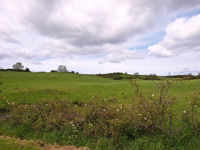
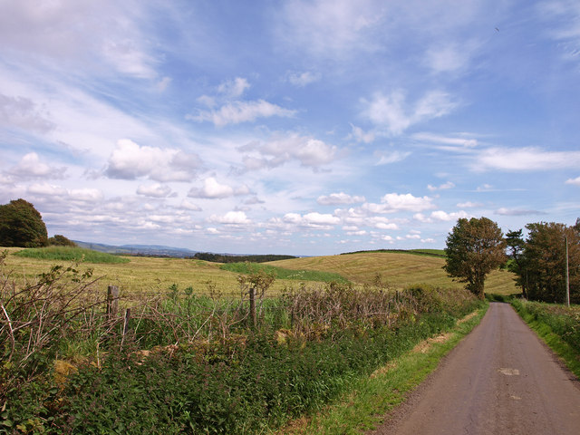
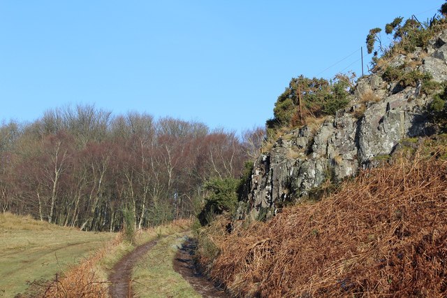
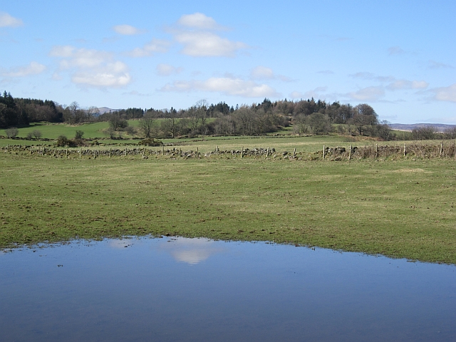
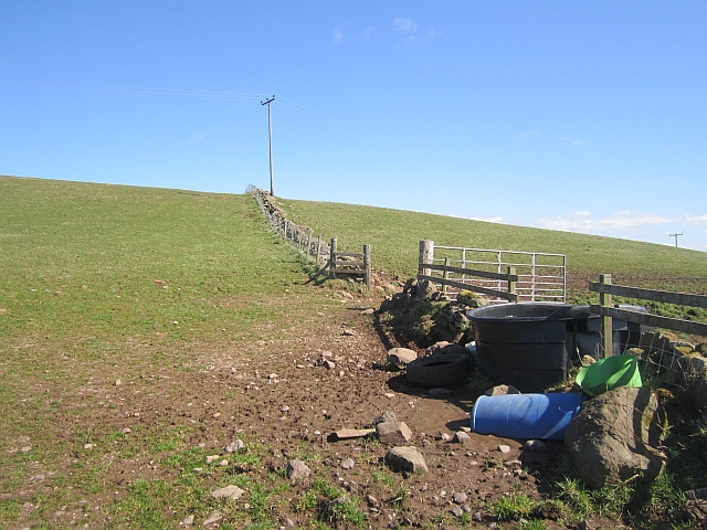
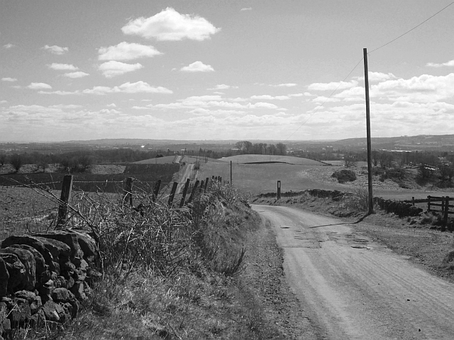
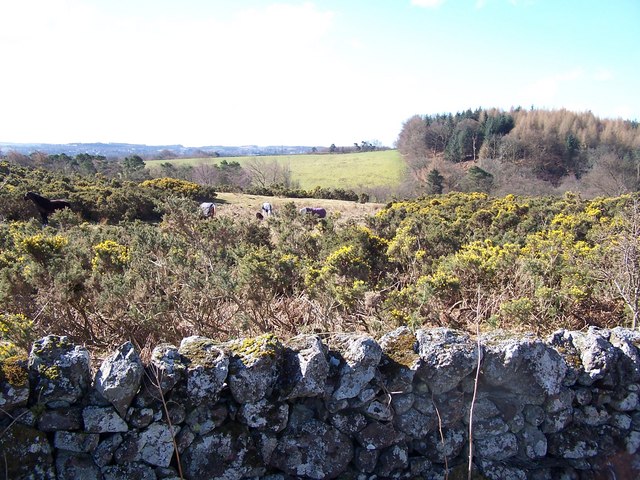
Corsliehill is characterized by its gently sloping terrain, covered in lush green vegetation, including grasses, heather, and scattered trees. The hill provides panoramic views of the surrounding countryside, including the nearby towns of Paisley and Johnstone. On clear days, the panoramic vista extends to the distant hills and mountains of the Scottish Highlands.
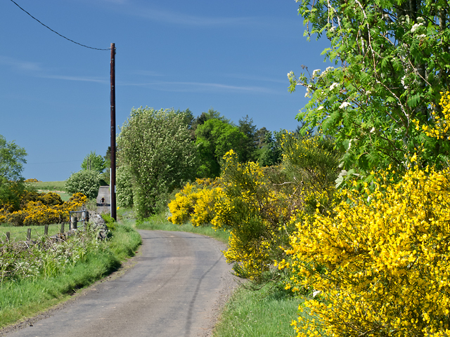
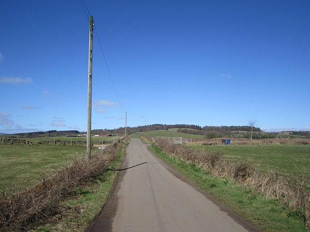
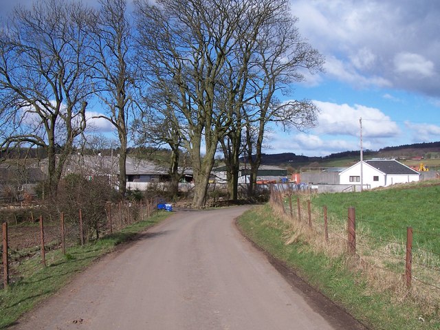
The hill is a popular destination for hikers and nature enthusiasts who enjoy exploring its diverse flora and fauna. It offers a network of well-maintained walking trails that cater to all skill levels, making it accessible to both experienced hikers and families looking for a leisurely stroll. The paths wind through open fields, dense woodland, and along the hill's ridge, providing different perspectives and vantage points.
Corsliehill also holds historical significance, with remnants of ancient settlements and burial grounds discovered in the area. It is believed that these sites date back to the Neolithic and Bronze Age periods, adding an extra layer of intrigue for those interested in the region's rich past.
Overall, Corsliehill in Renfrewshire offers visitors a chance to connect with nature, enjoy picturesque views, and immerse themselves in the area's cultural and historical heritage.
If you have any feedback on the listing, please let us know in the comments section below.
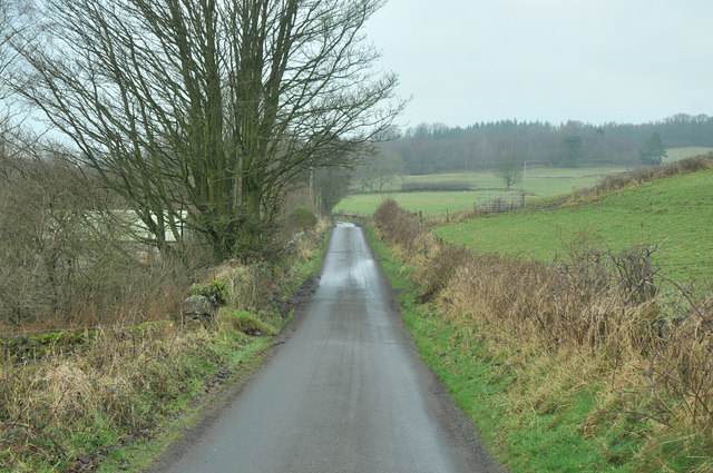
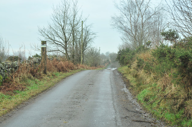
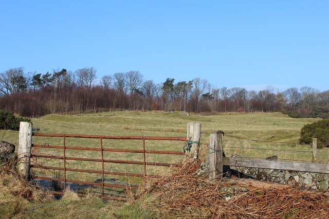
Corsliehill Images
Images are sourced within 2km of 55.887838/-4.5507836 or Grid Reference NS4069. Thanks to Geograph Open Source API. All images are credited.


Corsliehill is located at Grid Ref: NS4069 (Lat: 55.887838, Lng: -4.5507836)
Unitary Authority: Renfrewshire
Police Authority: Renfrewshire and Inverclyde
What 3 Words
///skips.punctuate.nearing. Near Houston, Renfrewshire
Nearby Locations
Related Wikis

St Peter's Well, Houston
St Peter's Well is a rare surviving example of a holy well house or covered well that was built over the waters of a spring in a field below Greenhill...

Houston and Killellan
Houston and Killellan is a civil parish in the county and council area of Renfrewshire in the west central Lowlands of Scotland. It contains the villages...
Strathgryffe
Strathgryffe or Gryffe Valley (Scottish Gaelic: Srath Ghriobhaidh) is the strath of River Gryffe, which lies within the historic county of Renfrewshire...

Houston House, Renfrewshire
Houston House is an 18th-century mansion, about 1 mile (1.6 km) north and east of Bridge of Weir, Renfrewshire, Scotland, north of the village of Houston...
Nearby Amenities
Located within 500m of 55.887838,-4.5507836Have you been to Corsliehill?
Leave your review of Corsliehill below (or comments, questions and feedback).