Creag Thulaichean

Hill, Mountain in Stirlingshire

Scotland

Creag Thulaichean

Rocky shore of Loch Lomond
Rocky shore of Loch Lomond Credit: David Gearing

Creag Thulaichean is a prominent hill located in Stirlingshire, Scotland. With an elevation of 954 meters (3,130 feet), it is classified as a Corbett, which refers to a Scottish mountain between 2,500 and 3,000 feet high. Its summit offers breathtaking panoramic views of the surrounding landscape, making it a popular destination for hikers and nature enthusiasts.

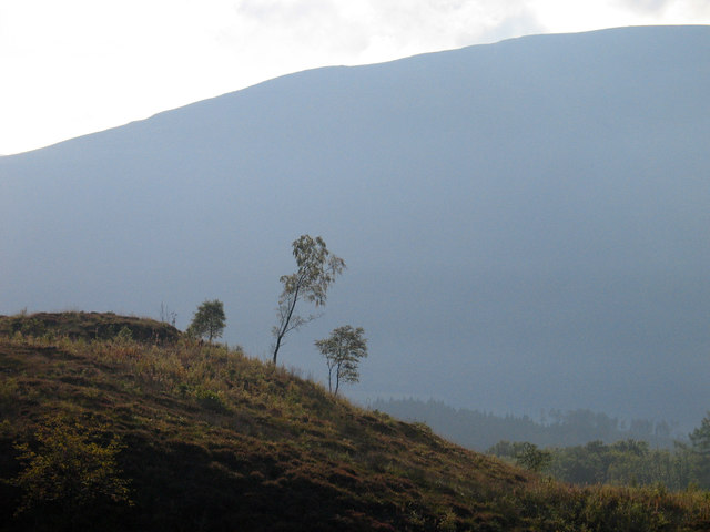
Situated in the southern part of the Grampian Mountains, Creag Thulaichean is characterized by its rugged terrain and rocky slopes. The hill is predominantly composed of granite, which gives it a distinctive appearance and adds to its appeal. Its steep ascent challenges climbers, but the rewarding vistas from the top make the effort worthwhile.

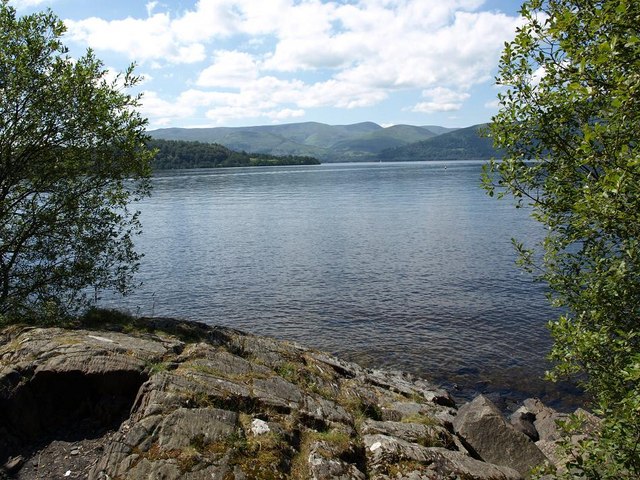
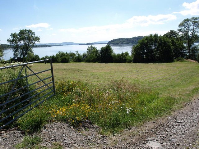
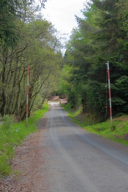
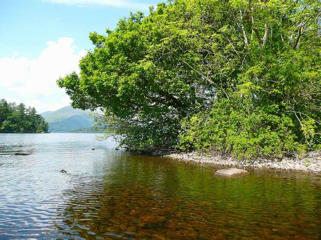
Creag Thulaichean is surrounded by beautiful natural scenery, including nearby Loch Tay to the north and Loch Earn to the south. The hill is also part of a larger network of hills and mountains, offering opportunities for extended hikes and exploration. Various walking routes are available to reach the summit, with options suitable for different fitness levels.

The area around Creag Thulaichean is rich in wildlife, with species such as red deer and golden eagles often spotted. It is important to note that visitors should respect the natural environment and adhere to the Scottish Outdoor Access Code when exploring the hill.

Overall, Creag Thulaichean presents an enticing challenge for outdoor enthusiasts and rewards them with stunning vistas of the Scottish countryside.

If you have any feedback on the listing, please let us know in the comments section below.

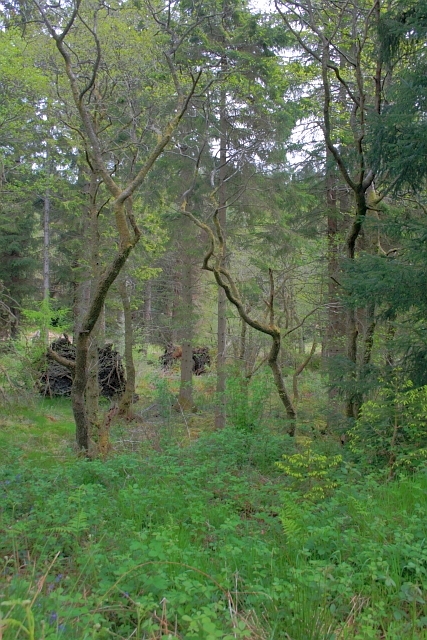
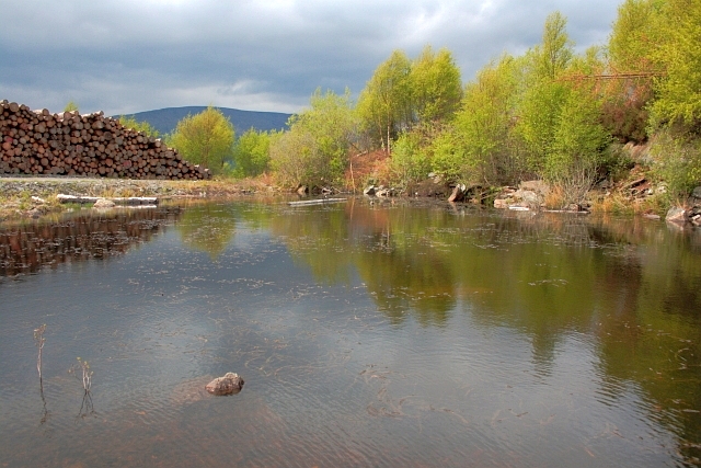
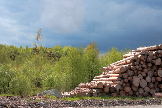
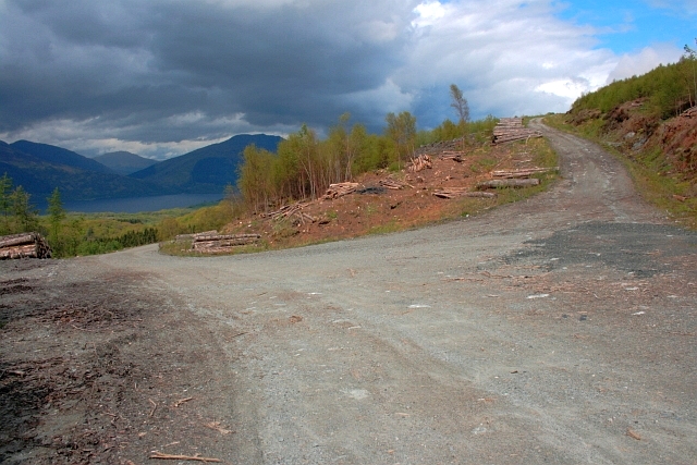
Creag Thulaichean Images

Images are sourced within 2km of 56.130363/-4.5731985 or Grid Reference NS4096. Thanks to Geograph Open Source API. All images are credited.

Rocky shore of Loch Lomond
Small lochside meadow by entrance to Sallochy
Young trees on Dun Maoil Dun Maoil is a minor rise within the Rowardennan Forest above the east side of Loch Lomond. The large dome beyond is on the west side of the loch - Ben Dubh.
Young trees on Dun Maoil
Dun Maoil is a minor rise within the Rowardennan Forest above the east side of Loch Lomond. The large dome beyond is on the west side of the loch - Ben Dubh.
Forest Road, Sallochy Forest
Dallurgan Burn, Sallochy Forest
Pond near Dun Maoil
Pond near Dun Maoil
Dun Maoil A small hillock, almost hidden by the trees.
Dun Maoil
A small hillock, almost hidden by the trees.
Forest Road Junction
Jetty in front of Anchorage Cottage Metal jetty thrusting out into Loch Lomond in front of Anchorage Cottage
Jetty in front of Anchorage Cottage
Metal jetty thrusting out into Loch Lomond in front of Anchorage Cottage
The Loch by Cashel Campsite Eastern shore of Loch Lomond
The Loch by Cashel Campsite
Eastern shore of Loch Lomond
The Road at Sallochy This is part of the minor road that loosley follows the eastern shore of Loch Lomond to Rowardennan - seen here approaching Sallochy Forest.
The West Highland Way also adopts the road at this juncture.
The Road at Sallochy
This is part of the minor road that loosley follows the eastern shore of Loch Lomond to Rowardennan - seen here approaching Sallochy Forest. The West Highland Way also adopts the road at this juncture.
West Highland Way in Sallochy Forest The National Trail experiences some climbing along this section, with the inclusion of purpose made stone steps.
West Highland Way in Sallochy Forest
The National Trail experiences some climbing along this section, with the inclusion of purpose made stone steps.
West Highland Way above Port nam Ban Newly renovated path allows for easy walking along this section of the National Trail
West Highland Way above Port nam Ban
Newly renovated path allows for easy walking along this section of the National Trail
The West Highland Way alongside the road on the east shore of Loch Lomond The OS map shows the way running some distance away to the right of the road
The West Highland Way alongside the road on the east shore of Loch Lomond
The OS map shows the way running some distance away to the right of the road
Loch Lomond viewed from Sallochy
The West Highland Way near Carn na Muice A newly-laid path climbing into Sallochy Wood
The West Highland Way near Carn na Muice
A newly-laid path climbing into Sallochy Wood
West Highland Way near Sheepfold A very short section on the forest side of the road.
West Highland Way near Sheepfold
A very short section on the forest side of the road.
West Highland Way near Sheepfold The path crosses the road from the forest to the side of Loch Lomond.
West Highland Way near Sheepfold
The path crosses the road from the forest to the side of Loch Lomond.
Show me another place!

Creag Thulaichean is located at Grid Ref: NS4096 (Lat: 56.130363, Lng: -4.5731985)

Unitary Authority: Stirling

Police Authority: Forth Valley

What 3 Words

///schools.adopting.community. Near Balloch, West Dunbartonshire

Nearby Locations

Creag Thulaichean

Related Wikis

Inchlonaig

Inchlonaig is an island in Loch Lomond in Scotland. == Geography and geology == Inchlonaig is the most northerly of the larger islands in the Loch Lomond...

Milarrochy Bay

Milarrochy Bay is a bay on Loch Lomond, in southern Scotland. It is near the village of Balmaha. Known locally as Bakey Bay, due to the rounded mounds...

Ross Isles

The Ross Isles are two small islands in Loch Lomond, in west central Scotland. They lie opposite Luss, and are named after the promontory on the east shore...

Ceardach

Ceardach is a small uninhabited island in Loch Lomond, in west central Scotland. The island lies east of Bucinch and north of Inchcruin. The name Ceardach...

Nearby Amenities

Located within 500m of 56.130363,-4.5731985
Creag Thulaichean
Corbett: no
Graham: no
Munro: no
Natural: peak
Lat/Long: 56.1290028/-4.569644
The data included in this document is from www.openstreetmap.org. The data is made available under ODbL.

Have you been to Creag Thulaichean?

Leave your review of Creag Thulaichean below (or comments, questions and feedback).