Cnoc Buidhe
Hill, Mountain in Stirlingshire
Scotland
Cnoc Buidhe
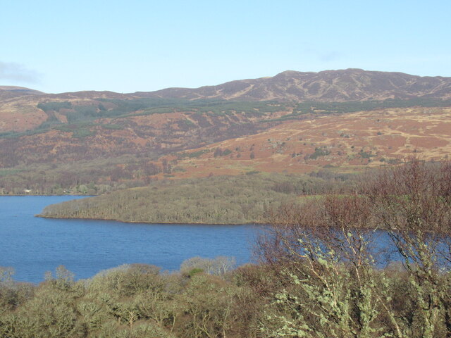
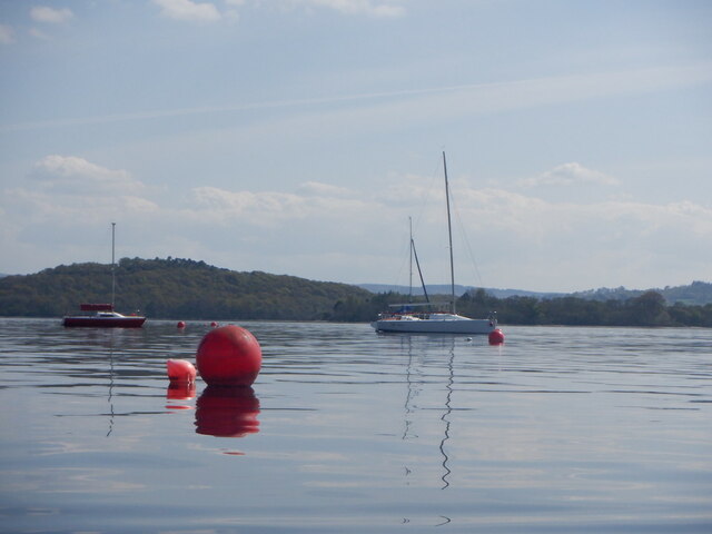
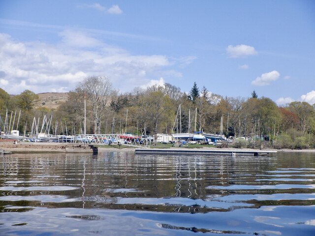
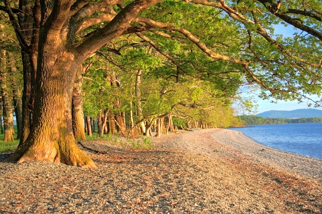
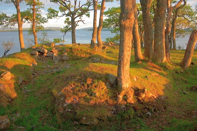
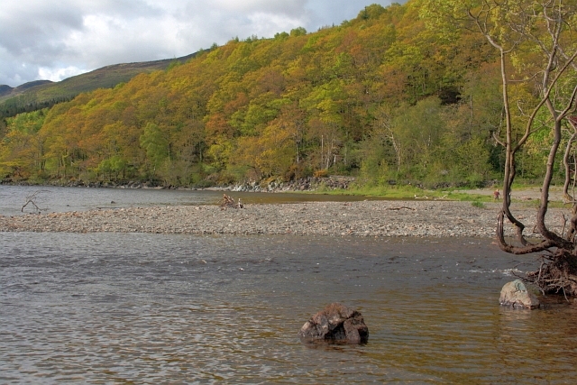
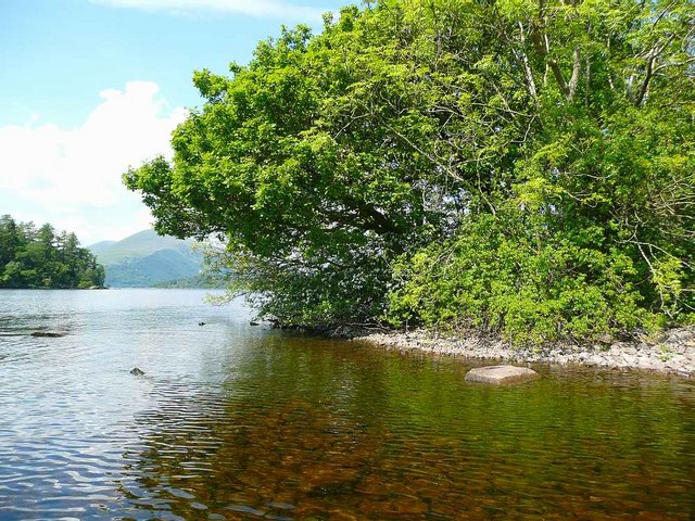
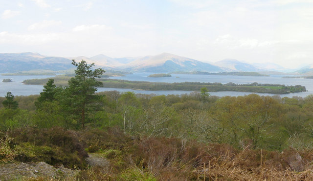
Cnoc Buidhe is a prominent hill located in Stirlingshire, Scotland. It is situated approximately 10 miles northwest of the city of Stirling and is a popular destination for outdoor enthusiasts and hikers. Standing at a height of 426 meters (1,398 feet), it offers stunning panoramic views of the surrounding landscape, including the nearby Loch Lomond and Trossachs National Park.
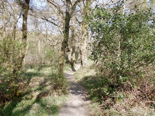
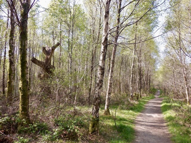
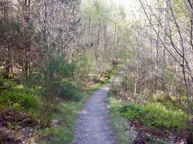
The hill is characterized by its gently sloping grassy terrain, making it relatively accessible for walkers of various abilities. The well-defined path leading to the summit provides a pleasant and scenic route, with occasional rocky outcrops adding interest to the climb.
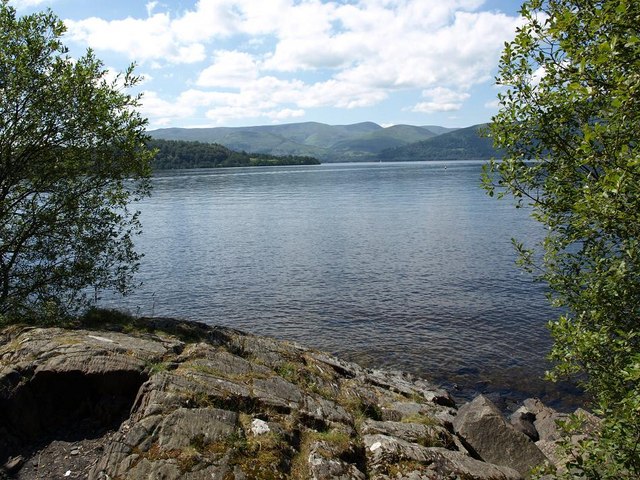
At the top of Cnoc Buidhe, visitors are rewarded with breathtaking vistas of the surrounding countryside, including the rolling hills, dense forests, and picturesque lochs that define the Stirlingshire region. On clear days, it is even possible to catch glimpses of the distant mountains of the Scottish Highlands.
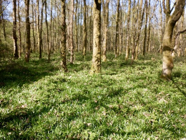
Wildlife enthusiasts will also find plenty to admire on Cnoc Buidhe, as the area is known to be home to a variety of bird species, including red kites and buzzards. Additionally, the hill is surrounded by diverse flora, with heather, gorse, and wildflowers dotting the landscape.
Overall, Cnoc Buidhe offers a fantastic opportunity for nature lovers to experience the beauty of the Scottish outdoors and enjoy a rewarding hike with stunning views.
If you have any feedback on the listing, please let us know in the comments section below.
Cnoc Buidhe Images
Images are sourced within 2km of 56.105019/-4.5752698 or Grid Reference NS3993. Thanks to Geograph Open Source API. All images are credited.


Cnoc Buidhe is located at Grid Ref: NS3993 (Lat: 56.105019, Lng: -4.5752698)
Unitary Authority: Stirling
Police Authority: Forth Valley
What 3 Words
///bring.foal.intruded. Near Balloch, West Dunbartonshire
Nearby Locations
Related Wikis

Milarrochy Bay
Milarrochy Bay is a bay on Loch Lomond, in southern Scotland. It is near the village of Balmaha. Known locally as Bakey Bay, due to the rounded mounds...
Ceardach
Ceardach is a small uninhabited island in Loch Lomond, in west central Scotland. The island lies east of Bucinch and north of Inchcruin. The name Ceardach...

Inchlonaig
Inchlonaig is an island in Loch Lomond in Scotland. == Geography and geology == Inchlonaig is the most northerly of the larger islands in the Loch Lomond...

Bucinch
Bucinch or Buc-Innis (Scottish Gaelic: "Buck Island" or "Male Goat Island") is a small island in Loch Lomond, in west central Scotland. The heavily wooded...

Inchcruin
Inchcruin is an island in Loch Lomond in Scotland. It is not to be confused with Creinch, which has occasionally been referred to as "Inchcroin". ��2...

Inchfad
Inchfad (Scottish Gaelic: Innis Fada, "long island") is an island in the south east of Loch Lomond in Scotland. Inchfad is 1.35 km (0.84 mi) long and forty...
Ellanderroch
Ellanderroch (Scottish Gaelic: Eilean Darach/Eilean nan Darach meaning "oak island") is an island in Loch Lomond in Scotland. It is a very small island...
Inchcailloch
Inchcailloch (Scottish Gaelic: Innis na Cailleach) is an islet on Loch Lomond in Scotland. It is 85 metres (279 ft) at its highest point. It is also known...
Nearby Amenities
Located within 500m of 56.105019,-4.5752698Have you been to Cnoc Buidhe?
Leave your review of Cnoc Buidhe below (or comments, questions and feedback).