Bishop Hill

Hill, Mountain in Wigtownshire

Scotland

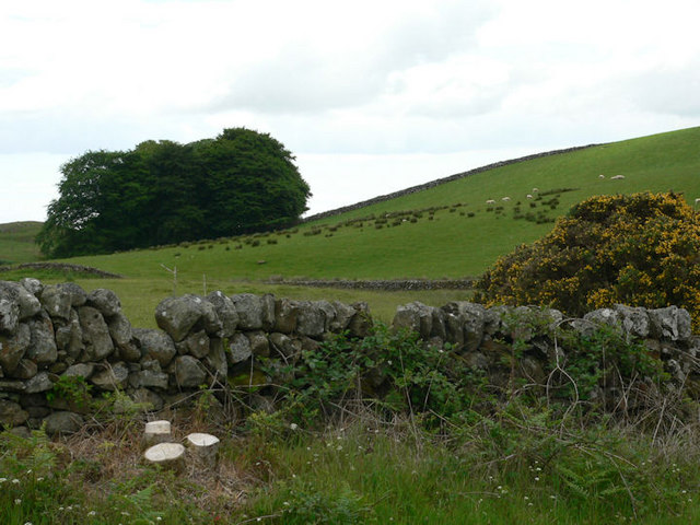
Bishop Hill
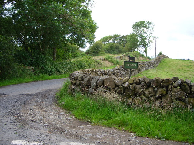
Barraer farm road
Barraer farm road Credit: Mark McKie

The requested URL returned error: 429 Too Many Requests

If you have any feedback on the listing, please let us know in the comments section below.

Bishop Hill Images

Images are sourced within 2km of 54.914666/-4.5062408 or Grid Reference NX3960. Thanks to Geograph Open Source API. All images are credited.

Barraer farm road
Barraer farm road
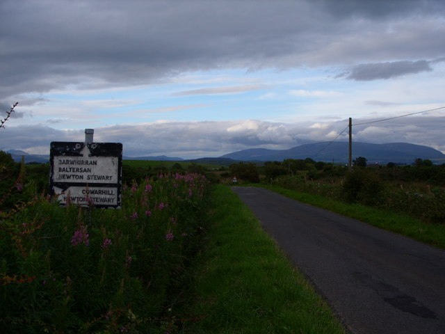
Road sign at Barvennan Junction
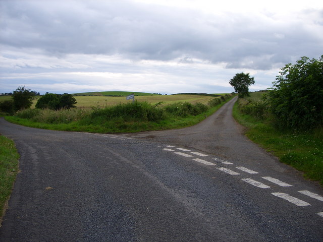
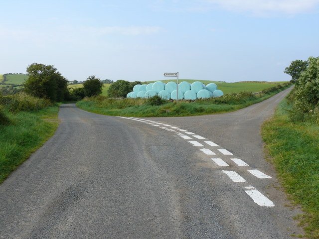
Fork in the road at Barlaughan
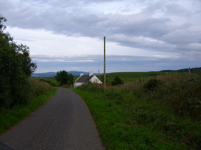
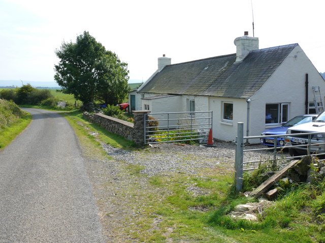
Cottage just past Barvennan Farm
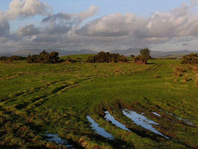
Rough pasture near Barvennan Looking to the Galloway Hills in the far distance. The round green hill in the middle distance is called Auld Hill.
Rough pasture near Barvennan
Looking to the Galloway Hills in the far distance. The round green hill in the middle distance is called Auld Hill.
Moorland grazing
Moorland grazing
Hill farming at  Barraer
Hill farming at Barraer
Rhododendron hedge at Barraer
Barvennan Cottage View of this cottage on an unnamed road between the A714 and the B733.
Barvennan Cottage
View of this cottage on an unnamed road between the A714 and the B733.
Bishop Hill View of this hill from Barvennan Cottage.
Bishop Hill
View of this hill from Barvennan Cottage.
Barvennan View along this unnamed road towards the farm.
Barvennan
View along this unnamed road towards the farm.
Barvennan Cottage This track leads from the side of the cottage to Wood Fell.
Barvennan Cottage
This track leads from the side of the cottage to Wood Fell.
Barvennan Cottage View along this unnamed road towards the A714 with the Galloway Hills in the background.
Barvennan Cottage
View along this unnamed road towards the A714 with the Galloway Hills in the background.
Rolland Hill This road junction near to the hill leads right to Barlauchlan and left down to the B733 and onwards to Kirkcowan or Wigtown.
Rolland Hill
This road junction near to the hill leads right to Barlauchlan and left down to the B733 and onwards to Kirkcowan or Wigtown.
Rolland Hill The road at this point runs past the hill right of picture down to the A714 Wigtown to Newton Stewart road.
Rolland Hill
The road at this point runs past the hill right of picture down to the A714 Wigtown to Newton Stewart road.
Rolland Hill View over open farmland to Drumwhirns Hill and Wood Fell forest on the horizon.
Rolland Hill
View over open farmland to Drumwhirns Hill and Wood Fell forest on the horizon.
Rolland Hill View along the hedgerow and fields. Benna Hill with its line of trees across the middle is near centre of the picture and the edge of Wood Fell can be seen left.
Rolland Hill
View along the hedgerow and fields. Benna Hill with its line of trees across the middle is near centre of the picture and the edge of Wood Fell can be seen left.
Rolland Hill View across open fields which includes a picture of the farmer wrapping hay on a Sunday before the rain comes (which it did the next day). It's all about the weather in the fields.
Rolland Hill
View across open fields which includes a picture of the farmer wrapping hay on a Sunday before the rain comes (which it did the next day). It's all about the weather in the fields.
Show me another place!

Bishop Hill is located at Grid Ref: NX3960 (Lat: 54.914666, Lng: -4.5062408)

Unitary Authority: Dumfries and Galloway

Police Authority: Dumfries and Galloway

What 3 Words

///swam.bandaged.stealing. Near Newton Stewart, Dumfries & Galloway

Nearby Locations

Bishop Hill

Related Wikis

Mains of Penninghame Platform railway station

Mains of Penninghame Platform railway station (NX410617) was a halt on the Wigtownshire Railway branch line, from Newton Stewart to Whithorn, of the Portpatrick...

Causeway End railway station

Causeway End (NX 42047 59602) or Causwayend was a railway station on the Wigtownshire Railway branch line, from Newton Stewart to Whithorn, of the Portpatrick...

Newton Stewart Hospital

Newton Stewart Hospital is a health facility in Newton Stewart, Dumfries and Galloway, Scotland. It is managed by NHS Dumfries and Galloway. == History... ==

Torhouse

The Standing Stones of Torhouse (also Torhousekie) are a stone circle of nineteen granite boulders on the land of Torhouse, three miles west of Wigtown...

Nearby Amenities

Located within 500m of 54.914666,-4.5062408
Power: pole
Lat/Long: 54.913737/-4.5136583
Power: pole
Lat/Long: 54.9139445/-4.5126184
Power: pole
Lat/Long: 54.9141575/-4.5115396
Power: pole
Lat/Long: 54.9143181/-4.5107364
The data included in this document is from www.openstreetmap.org. The data is made available under ODbL.

Have you been to Bishop Hill?

Leave your review of Bishop Hill below (or comments, questions and feedback).