Benmore

Hill, Mountain in Kirkcudbrightshire

Scotland

Benmore

Deer fence crossing moorland The fence crosses the 'tourist path' for The Merrick at the camera position.
The rising ground to the left reaches a high point at the minor summit of Bennan, where there's an aerial nearby.
Deer fence crossing moorland Credit: Trevor Littlewood

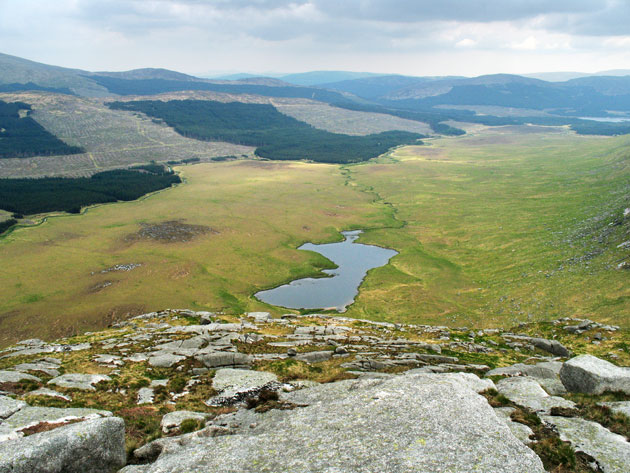
Benmore is a prominent hill located in the region of Kirkcudbrightshire in southwest Scotland. With an elevation of 355 meters (1165 feet), it offers breathtaking panoramic views of the surrounding countryside and the nearby Solway Firth. Situated approximately 2 miles northeast of the town of Gatehouse of Fleet, this hill is a popular destination for outdoor enthusiasts and nature lovers.

The hill is characterized by its rolling green slopes and is covered in heather and grasses, providing a vibrant and picturesque landscape. Its summit is easily accessible by a well-maintained footpath, making it an ideal location for hikers and walkers of all abilities.

The views from the top of Benmore are truly awe-inspiring. On a clear day, visitors can enjoy vistas of the Galloway Forest Park, the Solway Coast, and even catch a glimpse of the Isle of Man across the Irish Sea. The hill also offers an excellent vantage point for birdwatching, with many species of birds, including buzzards and kestrels, often spotted soaring above.

Benmore is not only a natural haven but also holds historical significance. At the foot of the hill lies the remains of a Bronze Age fort, indicating human activity in the area dating back thousands of years. The fort is a testament to the rich history and heritage of the region.

Overall, Benmore in Kirkcudbrightshire is a captivating hill offering stunning views, tranquil surroundings, and a chance to connect with nature and history.

If you have any feedback on the listing, please let us know in the comments section below.
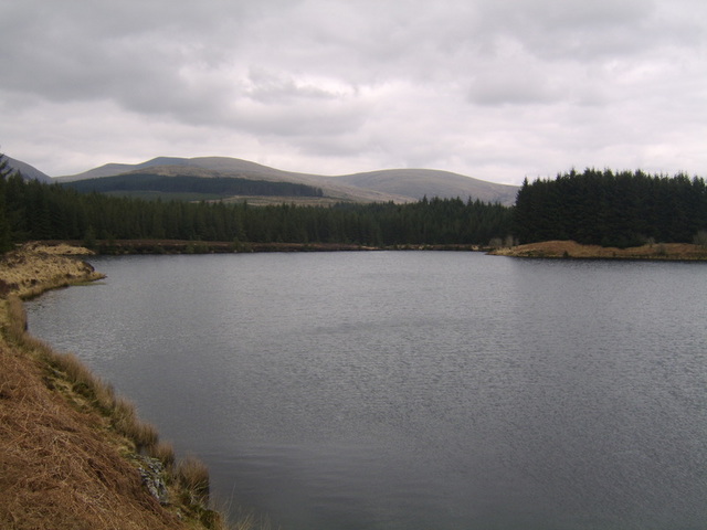
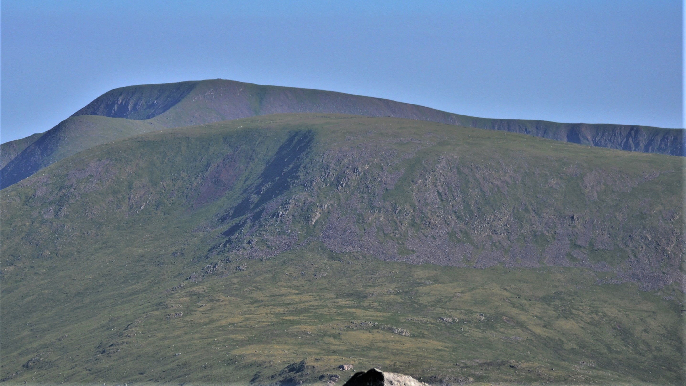
Benmore Images

Images are sourced within 2km of 55.125941/-4.5238882 or Grid Reference NX3984. Thanks to Geograph Open Source API. All images are credited.

Deer fence crossing moorland The fence crosses the 'tourist path' for The Merrick at the camera position.
The rising ground to the left reaches a high point at the minor summit of Bennan, where there's an aerial nearby.
Deer fence crossing moorland
The fence crosses the 'tourist path' for The Merrick at the camera position. The rising ground to the left reaches a high point at the minor summit of Bennan, where there's an aerial nearby.
Galloway Hills Kirriereoch, Merrick and Benyellery
Galloway Hills
Kirriereoch, Merrick and Benyellery
View of Benmore and Merrick From the Glentrool~Straiton road
View of Benmore and Merrick
From the Glentrool~Straiton road
Back down from Benyellary The path back from Benyellary (and of course Merrick) to Glen Trool.
Back down from Benyellary
The path back from Benyellary (and of course Merrick) to Glen Trool.
Rain over Benyellary The remnants of a heavy, prolonged shower which yielded sleet as well as rain.  The summit of the hill produced a temperature with wind chill of 3°C.
Rain over Benyellary
The remnants of a heavy, prolonged shower which yielded sleet as well as rain. The summit of the hill produced a temperature with wind chill of 3°C.
Boulder on a Small Knoll Near the area of the slope of Merrick mapped as Dunnance.
Boulder on a Small Knoll
Near the area of the slope of Merrick mapped as Dunnance.
A Track End in Glentrool Forest This is where one of the forest tracks finishes.  Ahead are some conifers which are a few years old and Benmore beyond.
A Track End in Glentrool Forest
This is where one of the forest tracks finishes. Ahead are some conifers which are a few years old and Benmore beyond.
Glentrool Forest A recently felled section of the forest.
Glentrool Forest
A recently felled section of the forest.
Track  in Glentrool Forest The view looking back from the end of the track
Track in Glentrool Forest
The view looking back from the end of the track
Track in Glentrool Forest
Glentrool Forest
Glentrool Forest
Glentrool Forest
Glentrool Forest
Kings Cairn The remains of a prehistoric chambered cairn on the lower slopes of Kirriemore Hill in the Galloway Forest.
Kings Cairn
The remains of a prehistoric chambered cairn on the lower slopes of Kirriemore Hill in the Galloway Forest.
A Galloway Forest Track Looking down the forestry road on the lower slopes of Kirriemore Hill on a fine October day.
A Galloway Forest Track
Looking down the forestry road on the lower slopes of Kirriemore Hill on a fine October day.
Kirkennan Burn Viewed at the confluence of the burn with the Water of Minnoch, flowing from left to right in the Galloway Forest.
Kirkennan Burn
Viewed at the confluence of the burn with the Water of Minnoch, flowing from left to right in the Galloway Forest.
Kings Cairn This prehistoric chambered cairn is now little more than an overgrown pile of stones, but it's still worth a visit.
Kings Cairn
This prehistoric chambered cairn is now little more than an overgrown pile of stones, but it's still worth a visit.
Kings Cairn This chambered cairn is quite easy to find but the access is across clear-felled forestry which can be tricky to cross.
Kings Cairn
This chambered cairn is quite easy to find but the access is across clear-felled forestry which can be tricky to cross.
Lochan In Kirriereoch Forest A small, unnamed lochan in the forest near Kings Cairn.
Lochan In Kirriereoch Forest
A small, unnamed lochan in the forest near Kings Cairn.
Show me another place!

Benmore is located at Grid Ref: NX3984 (Lat: 55.125941, Lng: -4.5238882)

Unitary Authority: Dumfries and Galloway

Police Authority: Dumfries and Galloway

What 3 Words

///scribbled.shorts.kebab. Near Newton Stewart, Dumfries & Galloway

Related Wikis

Silver Flowe-Merrick Kells

Situated in south-west Scotland, the Silver Flowe-Merrick Kells biosphere reserve is composed of two separate sites. Silver Flowe is a unique bog formation...

Kirriereoch Loch

Kirriereoch Loch is a small, shallow, square shaped, freshwater loch in Dumfries and Galloway, in the Southern Uplands of south-west Scotland. It lies...

Merrick (Galloway)

The Merrick, or simply Merrick (Scottish Gaelic: A' Mhearag), is a mountain in the Range of the Awful Hand, a sub-range of the Galloway Hills range, part...

Kirriereoch Hill

Kirriereoch Hill is a hill in the Range of the Awful Hand, a sub-range of the Galloway Hills range, part of the Southern Uplands of Scotland. It lies on...

Battle of Glen Trool

The Battle of Glen Trool was a minor engagement in the First War of Scottish Independence, fought in April 1307. Glen Trool is a narrow glen in the Southern...

Loch Trool

Loch Trool is a narrow, freshwater loch in Galloway, in the Southern Uplands in south-west Scotland. It lies in an elevated position in Glen Trool in the...

Glen Trool

Glen Trool (Scottish Gaelic: Gleann an t-Sruthail) is a glen in the Southern Uplands, Galloway, Scotland. It contains Loch Trool which is fed by several...

Loch Neldricken

Loch Neldricken is a loch in Galloway to the south-east of Merrick, south of Craig Neldricken and west of Craignaw. The loch is almost bisected by a long...

Have you been to Benmore?

Leave your review of Benmore below (or comments, questions and feedback).