Corbet Hill
Hill, Mountain in Renfrewshire
Scotland
Corbet Hill
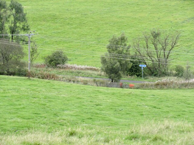
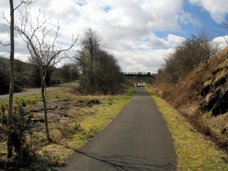
Corbet Hill, located in Renfrewshire, Scotland, is a prominent hill that offers stunning panoramic views of the surrounding countryside. Standing at an elevation of 213 meters (699 feet), it is a popular destination for outdoor enthusiasts and nature lovers.
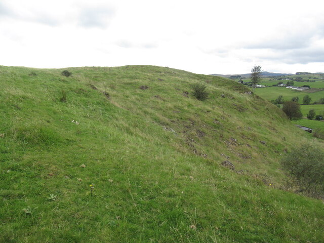
The hill is characterized by its gently sloping terrain, covered in lush greenery and dotted with patches of heather and wildflowers. Its location within the Clyde Muirshiel Regional Park ensures a diverse range of flora and fauna, making it an ideal spot for wildlife observation and bird watching. Visitors may spot various species of birds, such as buzzards, kestrels, and owls, as well as grazing sheep and deer.
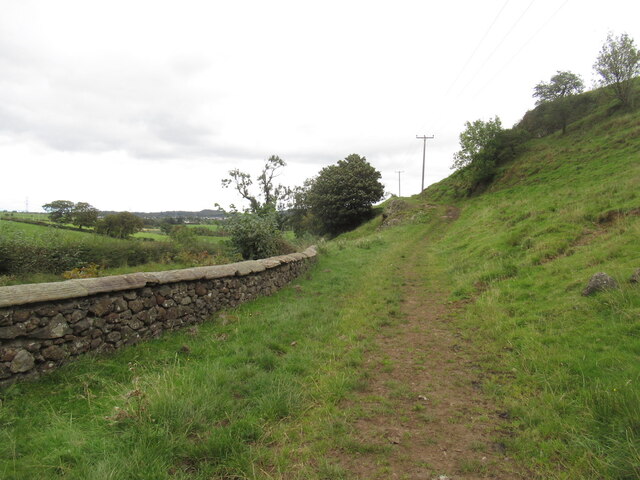
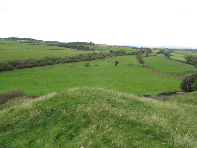
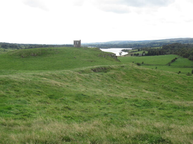
A well-maintained footpath leads to the summit of Corbet Hill, making it accessible to hikers of all skill levels. Along the way, walkers are treated to breathtaking views of the Clyde Estuary, the Isle of Arran, and even the distant mountains of the Scottish Highlands on clear days. The summit itself offers a panoramic vista, allowing visitors to appreciate the beauty of the surrounding Renfrewshire countryside.
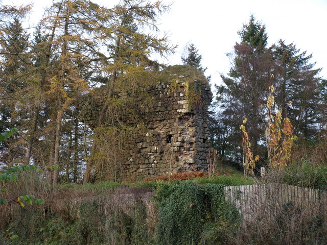
Corbet Hill also holds historical significance, with the remains of a hillfort that dates back to the Iron Age. Archaeological excavations have revealed ancient artifacts, suggesting that the hill was once inhabited by early settlers.
Overall, Corbet Hill provides a tranquil escape from the hustle and bustle of everyday life. Whether it's for a leisurely walk, a picnic amidst nature, or simply to soak in the breathtaking views, this hill is a must-visit destination for anyone seeking a serene and picturesque experience in Renfrewshire.
If you have any feedback on the listing, please let us know in the comments section below.
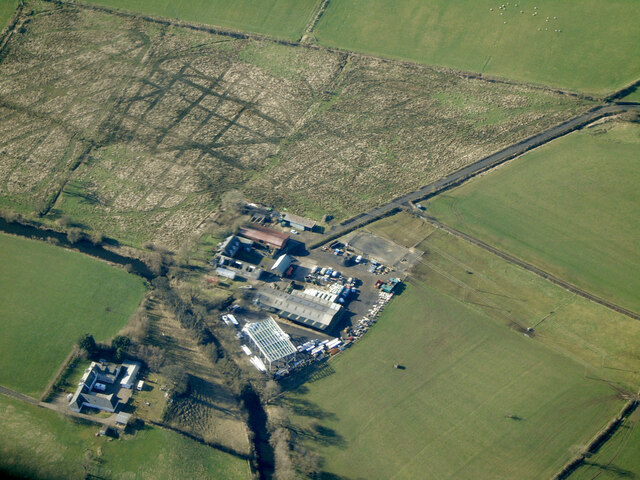
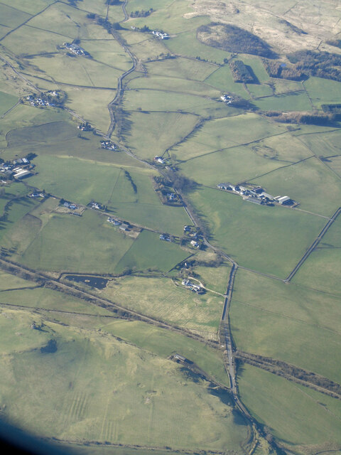
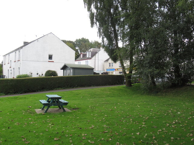
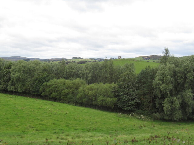
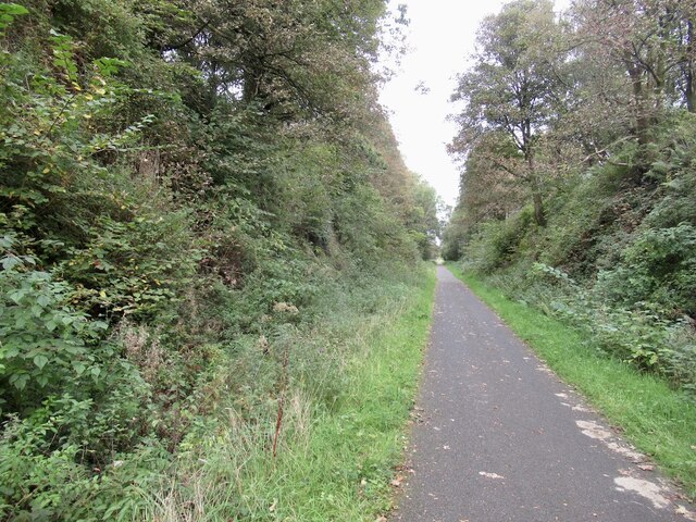
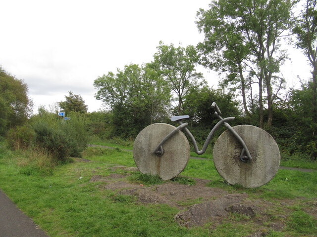
Corbet Hill Images
Images are sourced within 2km of 55.819466/-4.5697103 or Grid Reference NS3961. Thanks to Geograph Open Source API. All images are credited.


Corbet Hill is located at Grid Ref: NS3961 (Lat: 55.819466, Lng: -4.5697103)
Unitary Authority: Renfrewshire
Police Authority: Renfrewshire and Inverclyde
What 3 Words
///picnic.labs.plan. Near Howwood, Renfrewshire
Nearby Locations
Related Wikis
Castle Semple railway station
Castle Semple railway station was intended to be a railway station that would have served the village of Howwood, Renfrewshire, Scotland as part of the...

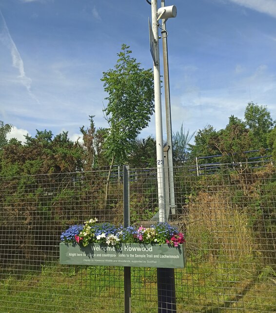
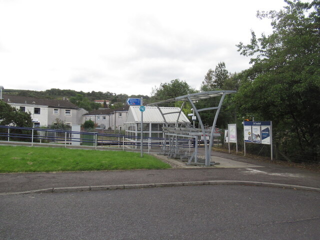
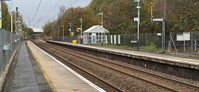
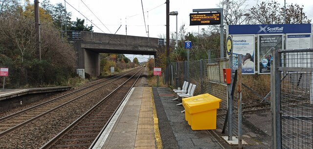
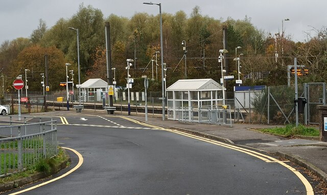
Howwood railway station
Howwood railway station is a railway station serving the village of Howwood, Renfrewshire, Scotland. The station is managed by ScotRail and is on the Ayrshire...

Howwood
Howwood (Scots: The Howewuid, Scottish Gaelic: Coille an Dail) is a village in Renfrewshire, Scotland. It is between Johnstone and Lochwinnoch, just off...
Lands of Elliston
The lands of Elliston, previously Elliotston or Eliotstoun or Elliestoun in the Parish of Lochwinnoch were part of the holdings of the Barony of Elliston...
Nearby Amenities
Located within 500m of 55.819466,-4.5697103Have you been to Corbet Hill?
Leave your review of Corbet Hill below (or comments, questions and feedback).