Elrig

Hill, Mountain in Stirlingshire

Scotland

Elrig

Below Beinn Uird
Below Beinn Uird Credit: Chris Wimbush

The requested URL returned error: 429 Too Many Requests

If you have any feedback on the listing, please let us know in the comments section below.
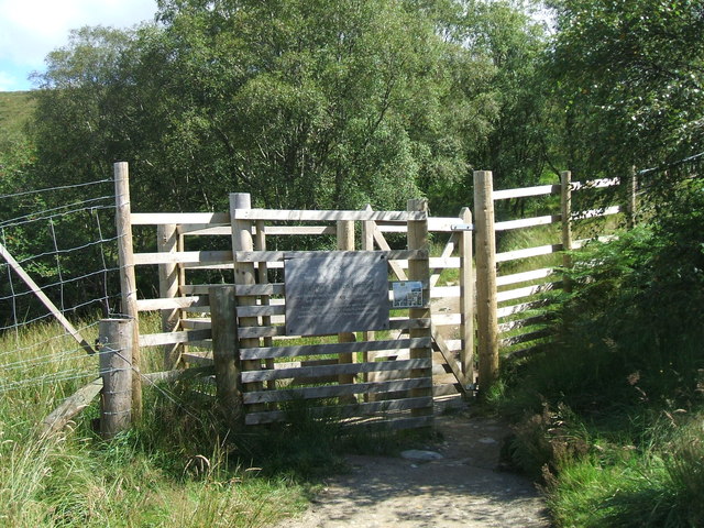
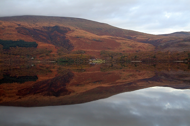
Elrig Images

Images are sourced within 2km of 56.16013/-4.5981732 or Grid Reference NS3899. Thanks to Geograph Open Source API. All images are credited.

Below Beinn Uird
Below Beinn Uird
Beinn Uird hillside towards Beinn Bhan
Bruach Caorainn Burn Some small waterfalls on the Bruach Caorainn Burn
Bruach Caorainn Burn
Some small waterfalls on the Bruach Caorainn Burn
Bruach Caorainn Burn Bruach Caorainn Burn where it is crossed by a bridge carrying a forest track.
Bruach Caorainn Burn
Bruach Caorainn Burn where it is crossed by a bridge carrying a forest track.
Track in Loch Ard Forest A rock face is exposed by a cutting for a forest track.
Track in Loch Ard Forest
A rock face is exposed by a cutting for a forest track.
Leaving the forest and ascending Ben Lomond
Gate on the Ben Lomond hill path Gate near the edge of Rowardennan Forest allows access to Ben Lomond.
Gate on the Ben Lomond hill path
Gate near the edge of Rowardennan Forest allows access to Ben Lomond.
Hillside beside path to Ben Lomond The most used path for Ben Lomond starts from Rowardennan and climbs through woodland emerging on open hill slopes. This view from the path at around 350m is across the adjacent slope and beyond to the Graham, Beinn Bhreac, on the far side of Loch Lomond.
Hillside beside path to Ben Lomond
The most used path for Ben Lomond starts from Rowardennan and climbs through woodland emerging on open hill slopes. This view from the path at around 350m is across the adjacent slope and beyond to the Graham, Beinn Bhreac, on the far side of Loch Lomond.
Summit area of Beinn Uird The summit area of Beinn Uird is grassy with a small cairn. Ben Lomond is the distant mountain.
Summit area of Beinn Uird
The summit area of Beinn Uird is grassy with a small cairn. Ben Lomond is the distant mountain.
Beinn Uird First top of the day after drive up from Preston with Jim Bloomer, with a great view to Ben Lomond.
Name: Beinn Uird
Hill number: 57
Height: 597m / 1959ft
Area: 01C: Loch Lomond to Strathyre
Class: Ma,5H
Grid ref: NS 39949 98517
Summit feature: ground within 1m of small cairn
Drop: 212m
Col: 385m  NN385001
Beinn Uird
First top of the day after drive up from Preston with Jim Bloomer, with a great view to Ben Lomond. Name: Beinn Uird Hill number: 57 Height: 597m / 1959ft Area: 01C: Loch Lomond to Strathyre Class: Ma,5H Grid ref: NS 39949 98517 Summit feature: ground within 1m of small cairn Drop: 212m Col: 385m NN385001
Ben Lomond hill path
Loch Lomond from the Ben Lomond Path
Land surrounding Loch Lomond
Sròn Aonaich
Sròn Aonaich
Ben Lomond Footpath A view down the Ben Lomond footpath.
Ben Lomond Footpath
A view down the Ben Lomond footpath.
Beinn Uird hillside towards Beinn Bhreac
Beinn Uird hillside towards Beinn Bhan
Show me another place!

Elrig is located at Grid Ref: NS3899 (Lat: 56.16013, Lng: -4.5981732)

Unitary Authority: Stirling

Police Authority: Forth Valley

What 3 Words

///purist.abode.meaty. Near Garelochhead, Argyll & Bute

Nearby Locations

Elrig

Related Wikis

Rowardennan

Rowardennan (Gaelic: Rubha Aird Eònain) is a small rural community on the eastern shore of Loch Lomond in Stirling council, Scotland. It is mainly known...

Eilean nan Deargannan

Eilean nan Deargannan (sometimes written as Eilean Deargannan) is a small island in Loch Lomond, in west central Scotland. It lies between Rowardennan...

Ben Lomond

Ben Lomond (Scottish Gaelic: Beinn Laomainn, 'Beacon Mountain'), 974 metres (3,196 ft), is a mountain in the Scottish Highlands. Situated on the eastern...

Loch Dubh (Loch Ard Forest)

Loch Dubh ("Black Loch") is a lochan on the Duchray Water in the western part of Loch Ard Forest in the Central Highlands of Scotland. == Location == Loch...

Nearby Amenities

Located within 500m of 56.16013,-4.5981732
Elrig
Corbett: no
Donald: no
Graham: no
Munro: no
Name Gd: An Eileirig
Natural: peak
Note: sub peak of Ben Lomond
Lat/Long: 56.1595807/-4.5980388
The data included in this document is from www.openstreetmap.org. The data is made available under ODbL.

Have you been to Elrig?

Leave your review of Elrig below (or comments, questions and feedback).