Black Hill

Hill, Mountain in Wigtownshire

Scotland

Black Hill

Drumterlie Cottage Looking over Culbratten Moor.
Drumterlie Cottage Credit: Russel Wills

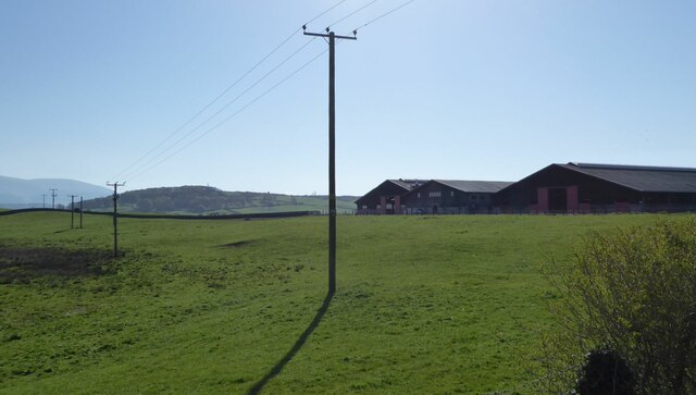
Black Hill is a prominent hill located in Wigtownshire, a region in southwestern Scotland. Rising to an elevation of approximately 472 meters (1,549 feet), it is considered one of the highest points in the area. The hill is situated within the Galloway Forest Park, which is renowned for its natural beauty and diverse flora and fauna.

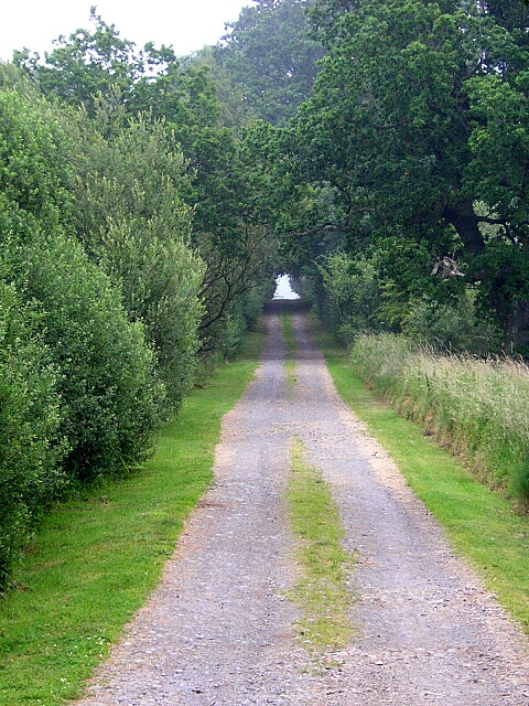
Black Hill is characterized by its distinctive steep slopes, covered with heather and grasses, providing a picturesque view of the surrounding countryside. The hill is composed primarily of granite, which gives it a rugged and rocky appearance. It is also home to several small streams and waterfalls that flow down its slopes, adding to its charm.

The hill is a popular destination for hillwalkers and nature enthusiasts due to its accessibility and stunning vistas. A network of well-maintained footpaths and trails allows visitors to explore the hill and its surroundings, making it an ideal location for outdoor activities such as hiking and birdwatching.

From the summit of Black Hill, visitors are rewarded with breathtaking panoramic views of the surrounding landscape, including the rolling hills, forests, and lochs that characterize Wigtownshire. On clear days, it is even possible to catch a glimpse of the distant coastline.

Overall, Black Hill in Wigtownshire offers a captivating and enriching experience for those seeking to immerse themselves in the natural beauty and tranquility of the Scottish countryside.

If you have any feedback on the listing, please let us know in the comments section below.
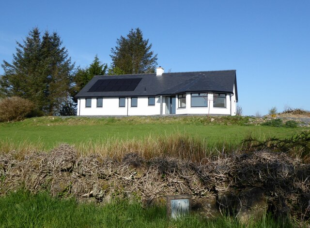
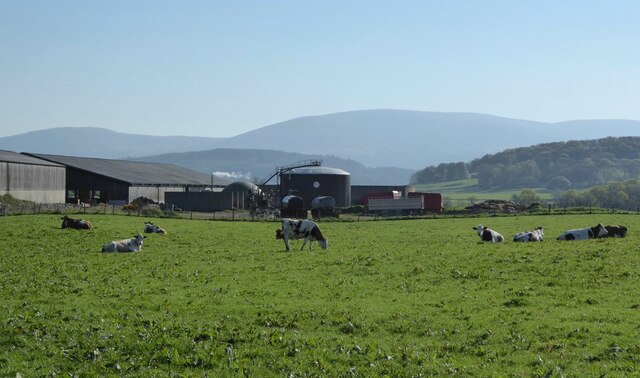
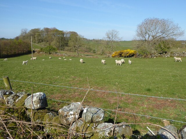
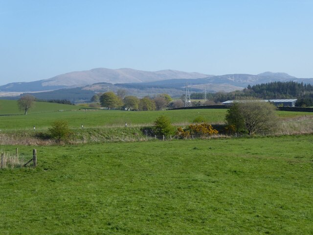
Black Hill Images

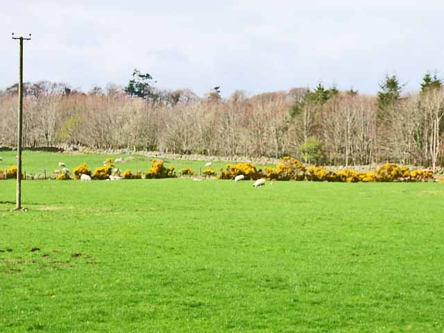
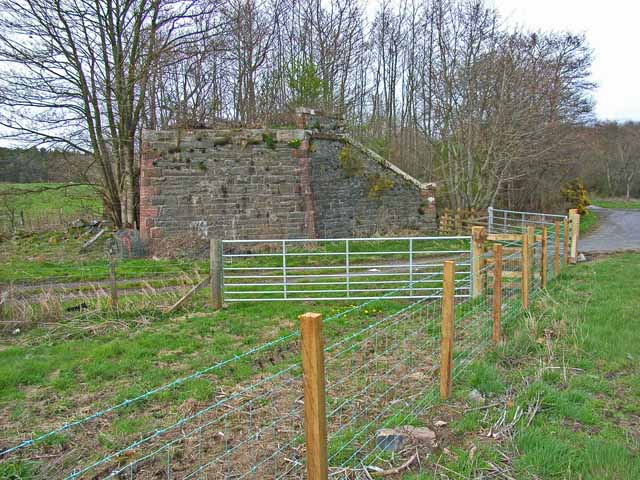
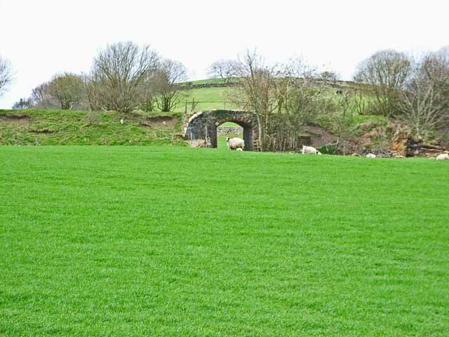
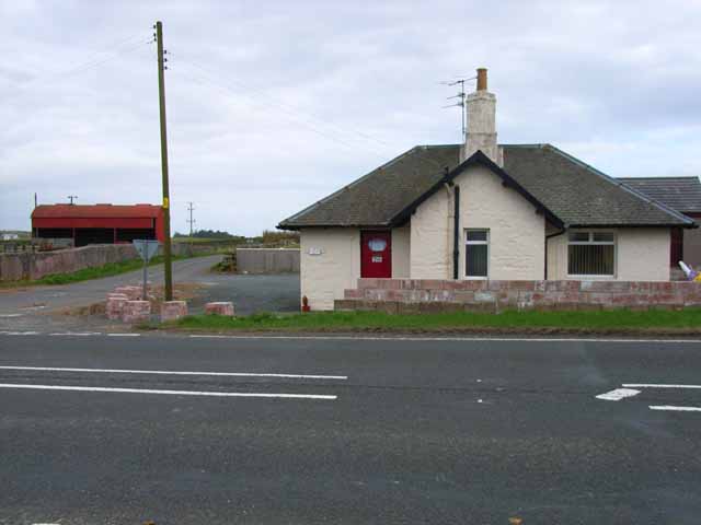
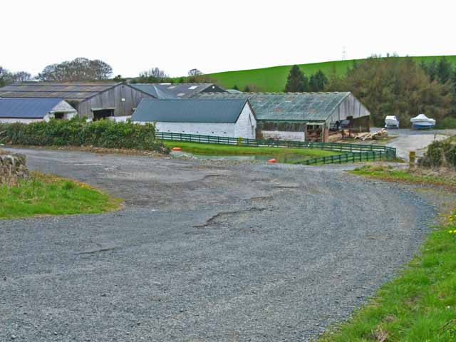
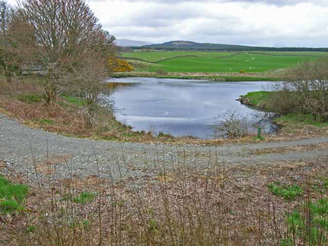
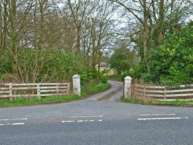
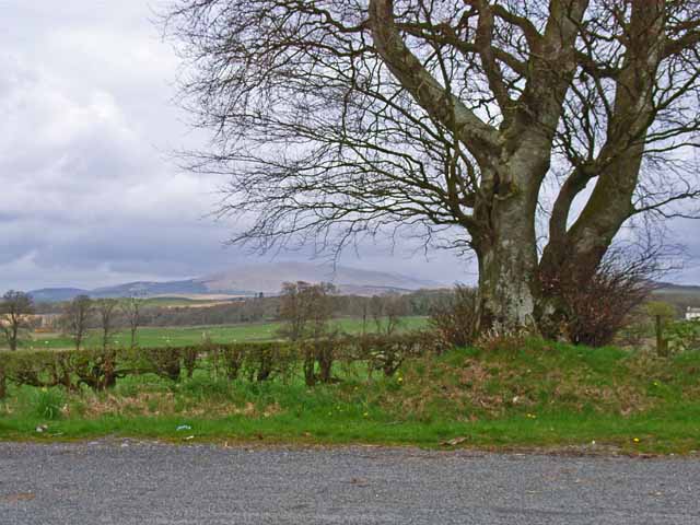
Images are sourced within 2km of 54.954195/-4.523884 or Grid Reference NX3865. Thanks to Geograph Open Source API. All images are credited.

Drumterlie Cottage Looking over Culbratten Moor.
Drumterlie Cottage
Looking over Culbratten Moor.
East Knockbrex Large farm with prominent slurry tank!
East Knockbrex
Large farm with prominent slurry tank!
Sheep and lambs  At Drumterlie.
Sheep and lambs
At Drumterlie.
Pylons across the grassland High Barbuchany is hidden in the dip.
Kirroughtree Forest in the distance.
Pylons across the grassland
High Barbuchany is hidden in the dip. Kirroughtree Forest in the distance.
Electricity poles At East Knockbrex.
Electricity poles
At East Knockbrex.
Driveway, Beechbank
Driveway, Beechbank
Road west of Newton Stewart A ready made bypass between the A75 and road to Girvan.
Road west of Newton Stewart
A ready made bypass between the A75 and road to Girvan.
Minor road near Newton Stewart Closed today for service for the Roger Albert Clark Rally 2023.
Minor road near Newton Stewart
Closed today for service for the Roger Albert Clark Rally 2023.
Field near Benfield Seen from the A75. Gorse (or furze) seems to be a major problem having invaded many of the fields in south-west Scotland
Field near Benfield
Seen from the A75. Gorse (or furze) seems to be a major problem having invaded many of the fields in south-west Scotland
Old bridge abutment on the A75 Looking east. The bridge formerly carried the Dumfries to Stranraer railway (closed in the 1960s) over the A75. The main road performed a sharp double bend under the bridge, but has now been realigned. (The road in the foreground is just a farm road serving Benfield Farm)
Old bridge abutment on the A75
Looking east. The bridge formerly carried the Dumfries to Stranraer railway (closed in the 1960s) over the A75. The main road performed a sharp double bend under the bridge, but has now been realigned. (The road in the foreground is just a farm road serving Benfield Farm)
Old railway embankment and bridge at Blackpark The disused railway from Dumfries to Stranraer, closed in the 1960s
Old railway embankment and bridge at Blackpark
The disused railway from Dumfries to Stranraer, closed in the 1960s
Knockbrex Toll Old tollhouse on the A75
Knockbrex Toll
Old tollhouse on the A75
South Barnkirk This farm now appears to serve as a timber yard
South Barnkirk
This farm now appears to serve as a timber yard
Bend in the River Cree
Gateway and driveway to Merton Hall Adjoining the A75
Gateway and driveway to Merton Hall
Adjoining the A75
View of the Cairnsmore of Fleet from the layby on the A714
Minor Road Near Challoch
Road to Skaith
Road to Skaith
Show me another place!

Black Hill is located at Grid Ref: NX3865 (Lat: 54.954195, Lng: -4.523884)

Unitary Authority: Dumfries and Galloway

Police Authority: Dumfries and Galloway

What 3 Words

///bulky.binds.yoga. Near Newton Stewart, Dumfries & Galloway

Nearby Locations

Barneam Hill Black Hill

Related Wikis

Newton Stewart F.C.

Newton Stewart Football Club are a football club from the town of Newton Stewart in the Dumfries and Galloway area of Scotland. Formed in 1880, as Newton...

Newton Stewart Hospital

Newton Stewart Hospital is a health facility in Newton Stewart, Dumfries and Galloway, Scotland. It is managed by NHS Dumfries and Galloway. == History... ==

Newton Stewart

Newton Stewart (Gd: Baile Ùr nan Stiùbhartach) is a former burgh town in the historical county of Wigtownshire in Dumfries and Galloway, southwest Scotland...

Newton Stewart railway station

Newton Stewart railway station served the town of Newton Stewart, Dumfries and Galloway, Scotland from 1861 to 1965 on the Portpatrick and Wigtownshire...

Nearby Amenities

Located within 500m of 54.954195,-4.523884
Power: tower
Lat/Long: 54.9561091/-4.530336
Power: tower
Lat/Long: 54.955299/-4.5242439
Power: tower
Lat/Long: 54.954873/-4.5210405
Power: tower
Lat/Long: 54.9542987/-4.5167219
Power: pole
Lat/Long: 54.9545851/-4.5313373
Power: pole
Lat/Long: 54.95479/-4.5298809
Power: pole
Lat/Long: 54.9547084/-4.5280704
Power: pole
Lat/Long: 54.9546729/-4.5270136
Power: pole
Lat/Long: 54.9545528/-4.5262733
Power: pole
Lat/Long: 54.9542894/-4.5246023
Power: pole
Lat/Long: 54.9541755/-4.5238674
Power: pole
Lat/Long: 54.9540553/-4.5231298
Power: pole
Lat/Long: 54.9538227/-4.5216841
Power: pole
Lat/Long: 54.9536025/-4.5203778
Power: pole
Lat/Long: 54.953333/-4.5185486
Power: pole
Lat/Long: 54.9531389/-4.5173952
Power: pole
Lat/Long: 54.9532559/-4.5168534
Power: pole
Lat/Long: 54.9534361/-4.5179451
Power: pole
Lat/Long: 54.9536456/-4.5192191
Power: pole
Lat/Long: 54.953852/-4.5205173
Power: pole
Lat/Long: 54.9540461/-4.5217538
Power: pole
Lat/Long: 54.9542016/-4.5226952
Power: pole
Lat/Long: 54.954311/-4.5233953
Power: pole
Lat/Long: 54.9544388/-4.524149
Power: pole
Lat/Long: 54.9545867/-4.5251039
Power: pole
Lat/Long: 54.9547469/-4.526099
Power: pole
Lat/Long: 54.9548655/-4.5270056
Power: pole
Lat/Long: 54.9549132/-4.52788
Power: pole
Lat/Long: 54.9549286/-4.5285344
Power: pole
Lat/Long: 54.9549918/-4.5298755
Power: pole
Lat/Long: 54.9548177/-4.5309457
The data included in this document is from www.openstreetmap.org. The data is made available under ODbL.

Have you been to Black Hill?

Leave your review of Black Hill below (or comments, questions and feedback).