Earls Hill
Hill, Mountain in Renfrewshire
Scotland
Earls Hill
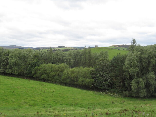
Earls Hill, located in Renfrewshire, Scotland, is a prominent hill that forms part of the stunning landscape of the area. Standing at an elevation of approximately 285 meters (935 feet), it is considered one of the highest points in Renfrewshire.
The hill is situated to the south of Lochwinnoch, a small town in Renfrewshire, and is easily accessible to hikers and nature enthusiasts. It offers breathtaking panoramic views of the surrounding countryside, including the picturesque Lochwinnoch Loch and the lush green fields that stretch out towards the horizon.
Earls Hill is covered in a mixture of grass, heather, and scattered trees, giving it a diverse and vibrant appearance throughout the year. The hill is also home to a variety of wildlife, including birds, rabbits, and occasionally deer, making it a popular spot for birdwatching and wildlife photography.
There are several trails and paths that wind their way up the hill, making it a favorite destination for outdoor enthusiasts who enjoy hiking and walking. These paths are well-maintained and offer different levels of difficulty, catering to both beginners and experienced hikers.
The summit of Earls Hill offers a fantastic vantage point, allowing visitors to enjoy the breathtaking beauty of Renfrewshire's countryside. On a clear day, it is even possible to catch a glimpse of the distant mountains, adding to the sense of awe and wonder.
Overall, Earls Hill is a magnificent natural landmark in Renfrewshire, offering visitors the opportunity to immerse themselves in the beauty of Scotland's countryside and enjoy a peaceful and invigorating outdoor experience.
If you have any feedback on the listing, please let us know in the comments section below.
Earls Hill Images
Images are sourced within 2km of 55.79111/-4.5782115 or Grid Reference NS3858. Thanks to Geograph Open Source API. All images are credited.


Earls Hill is located at Grid Ref: NS3858 (Lat: 55.79111, Lng: -4.5782115)
Unitary Authority: Renfrewshire
Police Authority: Renfrewshire and Inverclyde
What 3 Words
///special.stopwatch.blacked. Near Howwood, Renfrewshire
Nearby Locations
Related Wikis

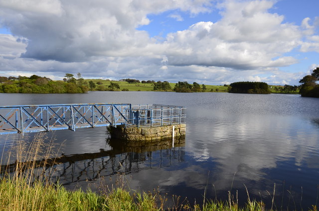
Castle Semple Loch
Castle Semple Loch is a 1.5-mile-long (2.5 km) inland freshwater loch at Lochwinnoch in Renfrewshire, Scotland. Originally part of an estate of the same...
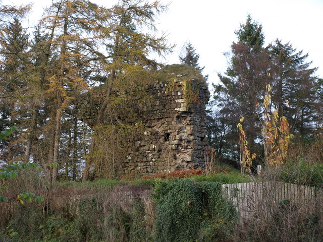
Lands of Elliston
The lands of Elliston, previously Elliotston or Eliotstoun or Elliestoun in the Parish of Lochwinnoch were part of the holdings of the Barony of Elliston...

Castle Semple
Castle Semple (previously Castletoun) is a former mansion house located in Renfrewshire, Scotland. It is situated near the eastern end of Castle Semple...
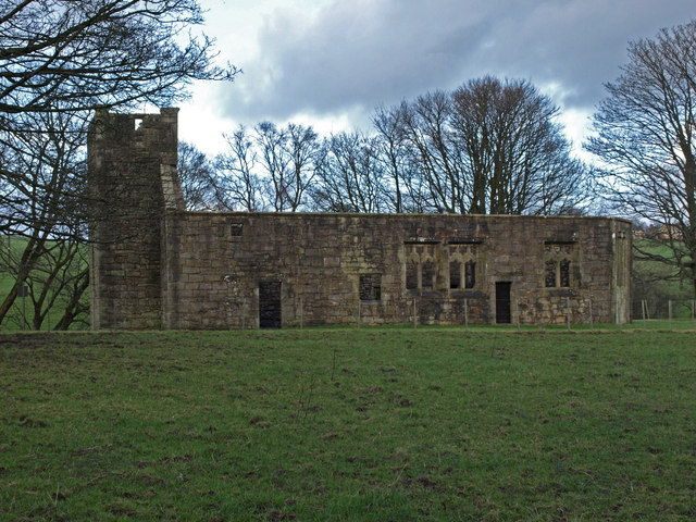
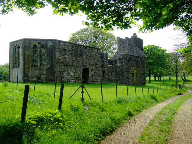
Castle Semple Church
Castle Semple Collegiate Church is located in Renfrewshire, Scotland. It is situated near the eastern end of Castle Semple Loch, within Clyde Muirshiel...
Nearby Amenities
Located within 500m of 55.79111,-4.5782115Have you been to Earls Hill?
Leave your review of Earls Hill below (or comments, questions and feedback).