Bennan Hill
Hill, Mountain in Ayrshire
Scotland
Bennan Hill
Bennan Hill, located in Ayrshire, Scotland, is a prominent hill that offers stunning panoramic views of the surrounding countryside. Rising to an elevation of approximately 460 meters (1,509 feet), it is a popular destination for outdoor enthusiasts and nature lovers.
Situated within the Galloway Forest Park, which is renowned for its natural beauty and diverse wildlife, Bennan Hill is a magnificent sight to behold. The hill is characterized by its gently sloping grassy slopes and rocky outcrops, making it an ideal location for hiking and hillwalking.
The ascent to the summit of Bennan Hill is relatively moderate, making it accessible to people of varying fitness levels. Once at the top, visitors are rewarded with breathtaking views of the rolling hills, lush green valleys, and shimmering lochs that stretch as far as the eye can see.
The hill is also home to a variety of flora and fauna, with heather and wildflowers adorning the landscape during the summer months. Birdwatchers will be delighted to spot various species, including buzzards, kestrels, and ravens, soaring in the skies above.
For those seeking a longer adventure, Bennan Hill is surrounded by an extensive network of walking trails, including the Southern Upland Way, which passes nearby. This provides opportunities for further exploration of the area's natural wonders, including nearby waterfalls and ancient woodlands.
Overall, Bennan Hill presents an enchanting experience for visitors, combining the allure of nature with breathtaking vistas, making it a must-visit destination for outdoor enthusiasts and nature lovers alike.
If you have any feedback on the listing, please let us know in the comments section below.
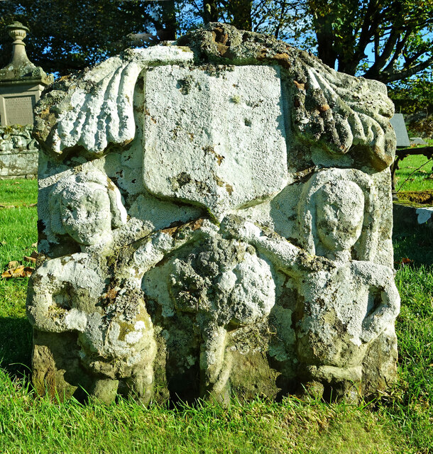
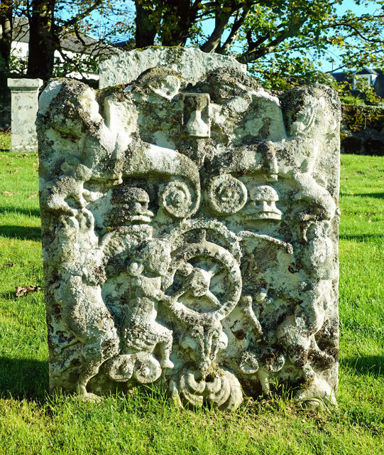
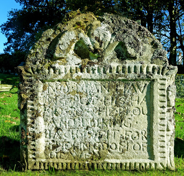
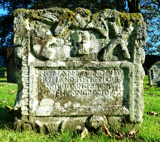
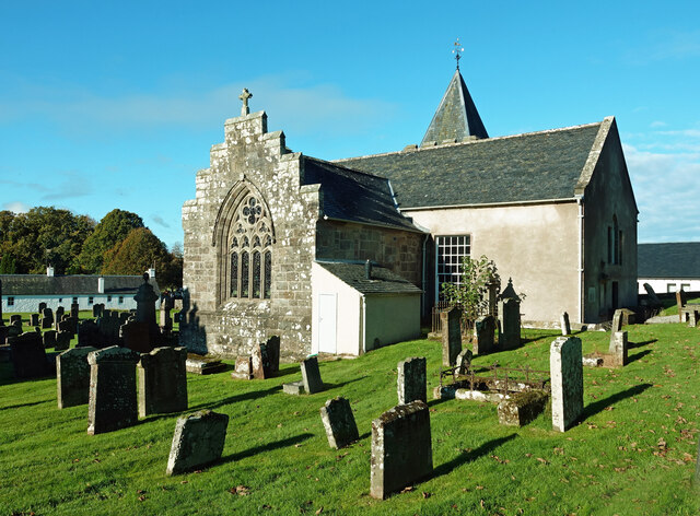
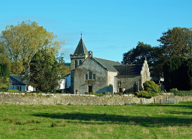
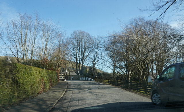
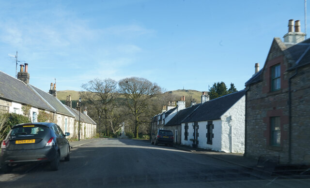
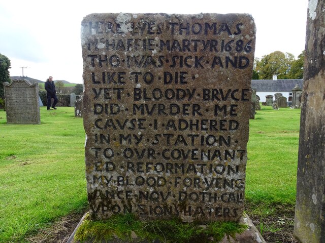
Bennan Hill Images
Images are sourced within 2km of 55.297745/-4.5545617 or Grid Reference NS3703. Thanks to Geograph Open Source API. All images are credited.


Bennan Hill is located at Grid Ref: NS3703 (Lat: 55.297745, Lng: -4.5545617)
Unitary Authority: South Ayrshire
Police Authority: Ayrshire
What 3 Words
///hurt.refers.scrapping. Near Patna, East Ayrshire
Nearby Locations
Related Wikis

Straiton
Straiton is a village on the River Girvan in South Ayrshire in Scotland. It lies in the hills between Kirkmichael, Dalmellington, Crosshill, and Maybole...

Blairquhan Castle
Blairquhan ( blair-WHAHN, Scots: Blairwhan) is a Regency era castle near Maybole in South Ayrshire, Scotland. It was the historic home of the Hunter-Blair...

Drunmore Linn
Drunmore Linn is a waterfall of Scotland, near Straiton, South Ayrshire. == See also == Waterfalls of Scotland == References ==
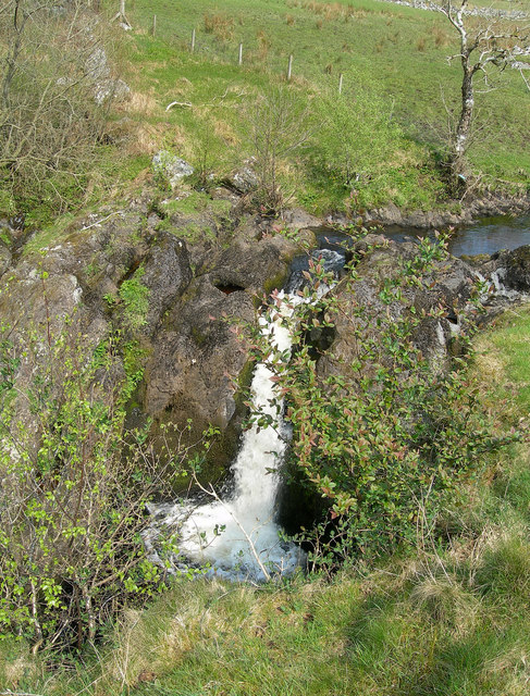
Tairlaw Linn
Tairlaw Linn is a waterfall of Scotland, near Straiton, South Ayrshire. == See also == Waterfalls of Scotland == References ==
Nearby Amenities
Located within 500m of 55.297745,-4.5545617Have you been to Bennan Hill?
Leave your review of Bennan Hill below (or comments, questions and feedback).