Blackpark Hill
Hill, Mountain in Wigtownshire
Scotland
Blackpark Hill
Blackpark Hill is a prominent landform located in the region of Wigtownshire, Scotland. Standing at an elevation of 243 meters (797 feet), it is considered a hill rather than a mountain. It is situated approximately 1.5 kilometers (0.9 miles) to the southeast of the village of Whithorn, and occupies a commanding position overlooking the surrounding landscape.
The hill is characterized by its gentle slopes and rounded summit, which is covered in a mix of heather, grass, and scattered rocks. It is primarily composed of sandstone and shale, which give the hill its distinctive reddish-brown coloration. The vegetation on Blackpark Hill is typical of the Scottish uplands, with hardy plants such as bilberry, heather, and bracken dominating the landscape.
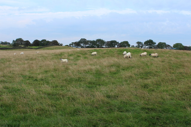
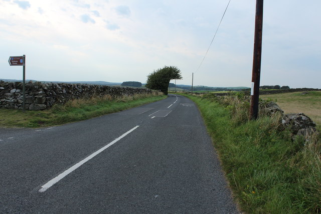
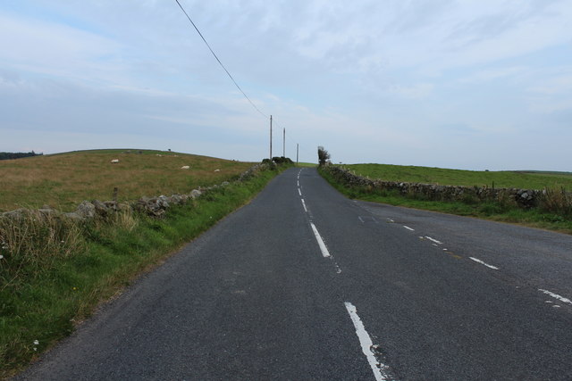
The hill is a popular destination for outdoor enthusiasts, offering stunning panoramic views of the surrounding countryside, including the Solway Firth and the Galloway Hills to the north. Several walking and hiking trails crisscross the area, providing visitors with opportunities to explore the natural beauty of the region.
Blackpark Hill also holds historical significance, as it is home to several Bronze Age burial cairns and ancient earthworks, indicating human activity in the area dating back thousands of years. These archaeological features add an extra layer of interest to the hill, attracting both history enthusiasts and nature lovers alike.
Overall, Blackpark Hill in Wigtownshire offers a picturesque and accessible outdoor experience, combining natural beauty, recreational opportunities, and a glimpse into the area's rich cultural heritage.
If you have any feedback on the listing, please let us know in the comments section below.
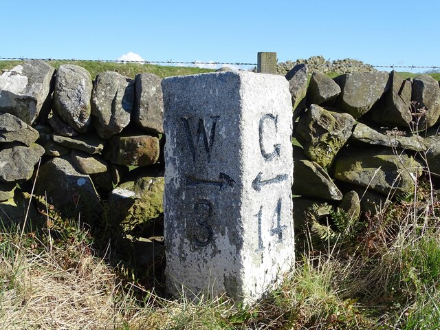
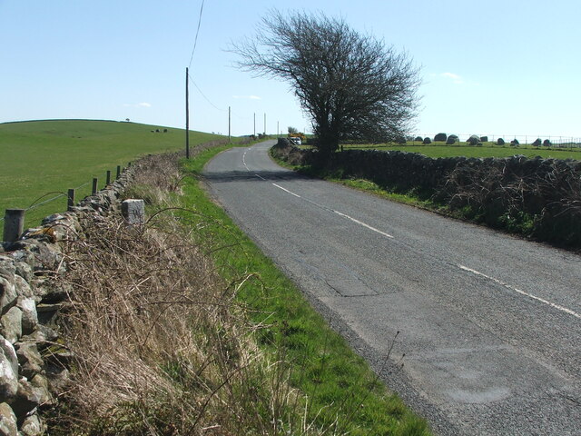
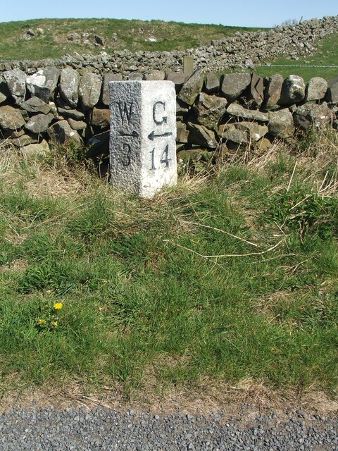
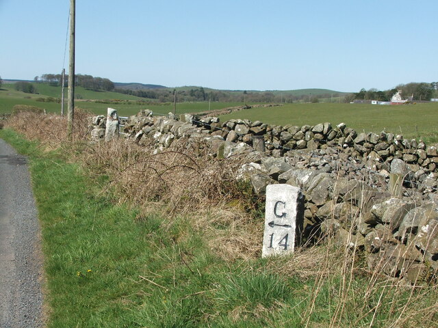
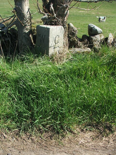
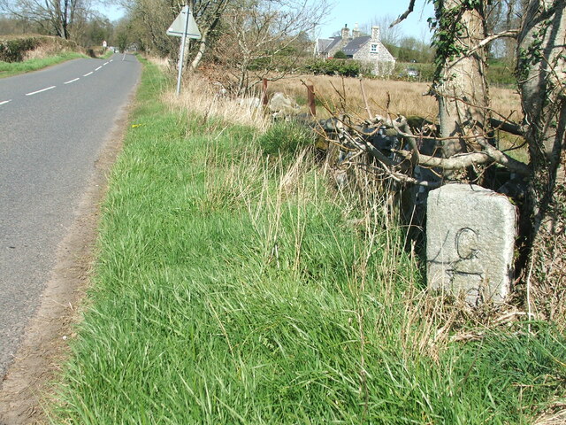
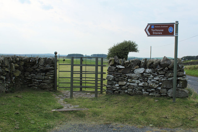
Blackpark Hill Images
Images are sourced within 2km of 54.892272/-4.5293499 or Grid Reference NX3758. Thanks to Geograph Open Source API. All images are credited.


Blackpark Hill is located at Grid Ref: NX3758 (Lat: 54.892272, Lng: -4.5293499)
Unitary Authority: Dumfries and Galloway
Police Authority: Dumfries and Galloway
What 3 Words
///sushi.trainer.piled. Near Newton Stewart, Dumfries & Galloway
Nearby Locations
Related Wikis

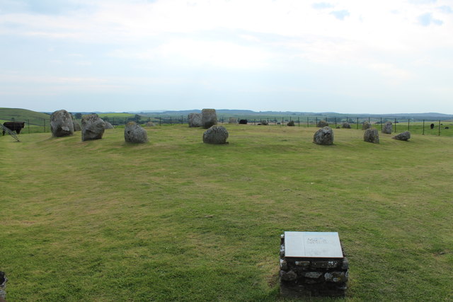
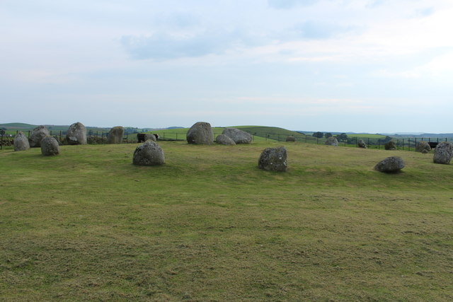
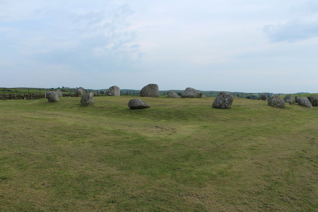
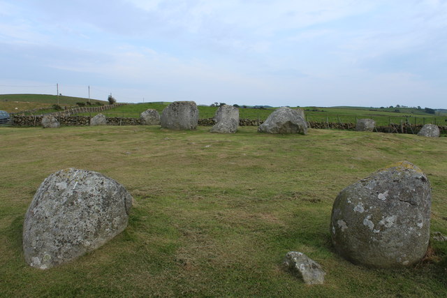
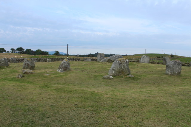
Torhouse
The Standing Stones of Torhouse (also Torhousekie) are a stone circle of nineteen granite boulders on the land of Torhouse, three miles west of Wigtown...

Mains of Penninghame Platform railway station
Mains of Penninghame Platform railway station (NX410617) was a halt on the Wigtownshire Railway branch line, from Newton Stewart to Whithorn, of the Portpatrick...

Causeway End railway station
Causeway End (NX 42047 59602) or Causwayend was a railway station on the Wigtownshire Railway branch line, from Newton Stewart to Whithorn, of the Portpatrick...
Wigtown & Bladnoch F.C.
Wigtown & Bladnoch Football Club are a football club from the town of Wigtown in the Dumfries and Galloway area of Scotland, who play in the South of Scotland...
Kirkcowan
Kirkcowan is an area about 15 miles in length, and from nearly two to nearly seven miles in breadth, comprising 30,580 acres, of which 7000 are arable...

Bladnoch Distillery and Visitor Centre
Bladnoch distillery is a single malt Scotch whisky distillery in south west Scotland. It is one of six remaining Lowland distilleries, located at Bladnoch...

Bladnoch, Wigtownshire
Bladnoch (Scottish Gaelic: Blaidneach) is a small village on the River Bladnoch in Wigtownshire, Scotland, located just outside the county town of Wigtown...
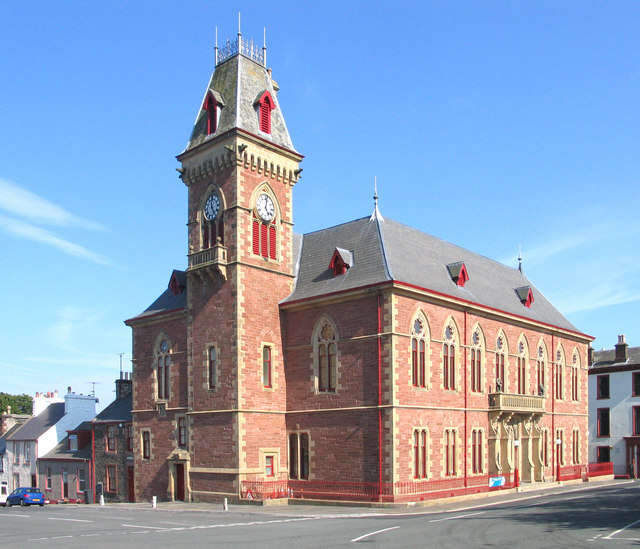
Wigtown County Buildings
Wigtown County Buildings, also known as Wigtown County Buildings and Town Hall, is a municipal building in The Square, Wigtown, Scotland. The structure...
Nearby Amenities
Located within 500m of 54.892272,-4.5293499Have you been to Blackpark Hill?
Leave your review of Blackpark Hill below (or comments, questions and feedback).