Barraer Fell
Hill, Mountain in Wigtownshire
Scotland
Barraer Fell
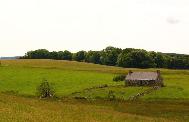
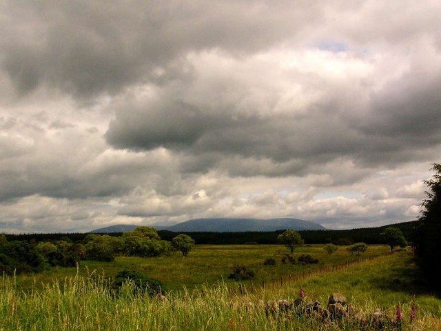
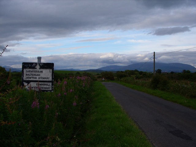
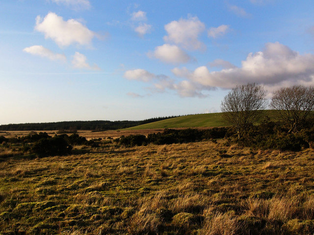
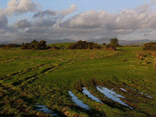
Barraer Fell, located in Wigtownshire, is a notable hill/mountain in the southwestern region of Scotland. Standing at an elevation of 487 meters (1,598 feet), it offers breathtaking panoramic views of the surrounding countryside. The fell is part of the larger Galloway Hills range and is situated near the village of Dunragit.
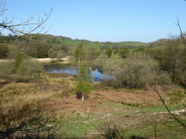
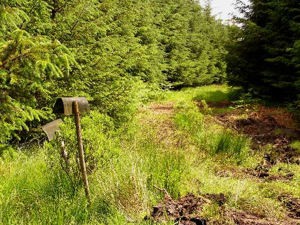
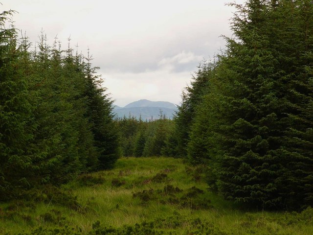
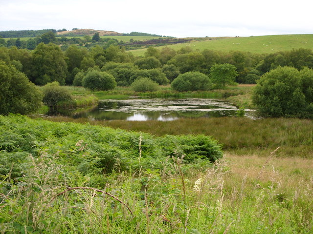
Barraer Fell is characterized by its rugged and rocky terrain, with heather-covered slopes and scattered patches of woodland. The hill is a popular destination for outdoor enthusiasts, particularly hikers and nature lovers, who are drawn to its stunning natural beauty and diverse wildlife.
The ascent to the summit of Barraer Fell can be challenging but rewarding, with several trails and paths leading to the top. As visitors make their way up, they are treated to stunning vistas of rolling hills, picturesque valleys, and the sparkling waters of the nearby Loch Ryan.
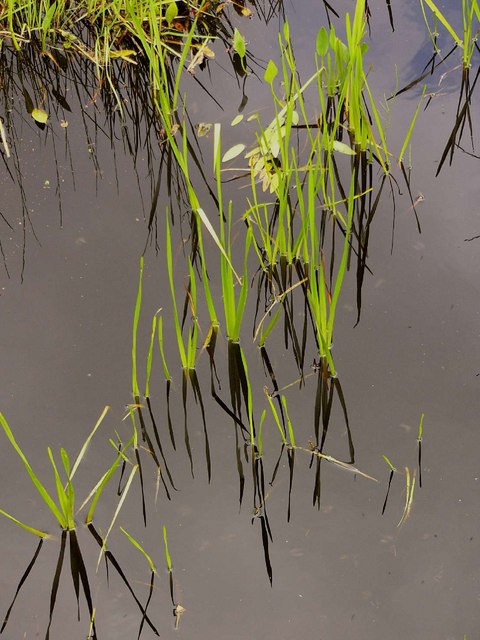
The hill is also home to a variety of plant and animal species, including red deer, mountain hares, and various birds of prey. The diverse flora includes heather, mosses, and grasses, creating a rich tapestry of colors throughout the seasons.
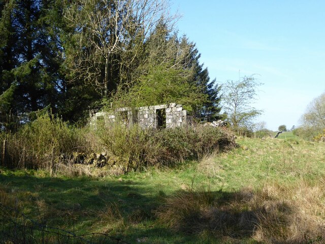
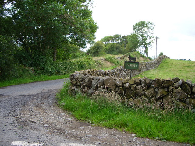
Barraer Fell is steeped in history, with remnants of ancient settlements and burial cairns dotting its slopes. These archaeological sites offer a glimpse into the area's past and add to the sense of intrigue and wonder that surrounds the hill.
Overall, Barraer Fell is an enchanting destination for those seeking outdoor adventure, stunning scenery, and a connection to Scotland's rich natural and cultural heritage.
If you have any feedback on the listing, please let us know in the comments section below.
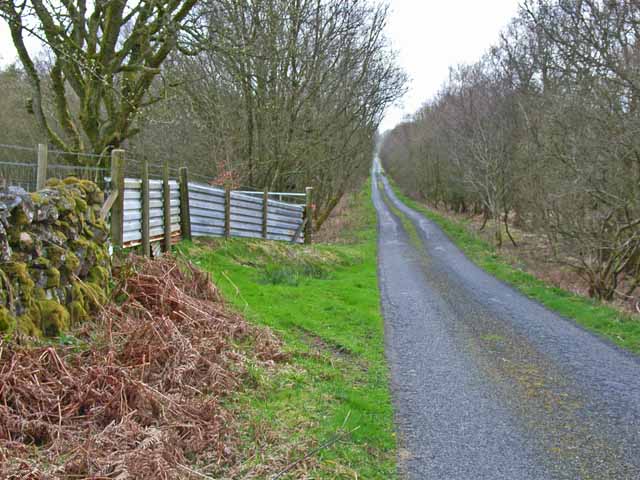
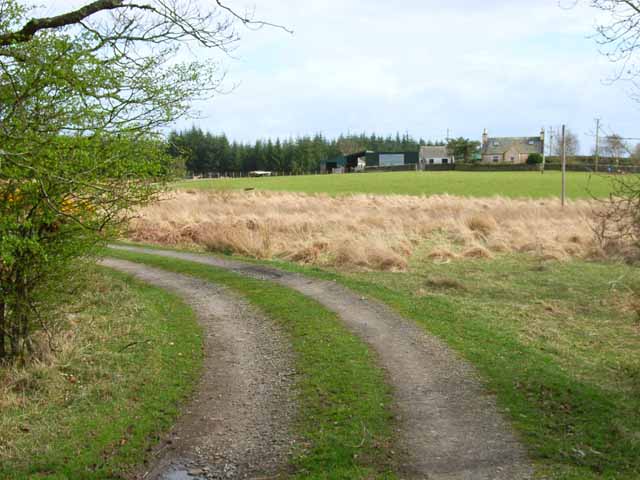
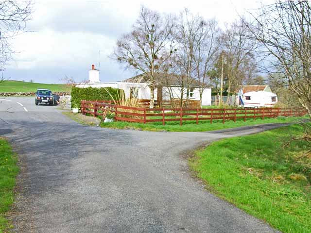
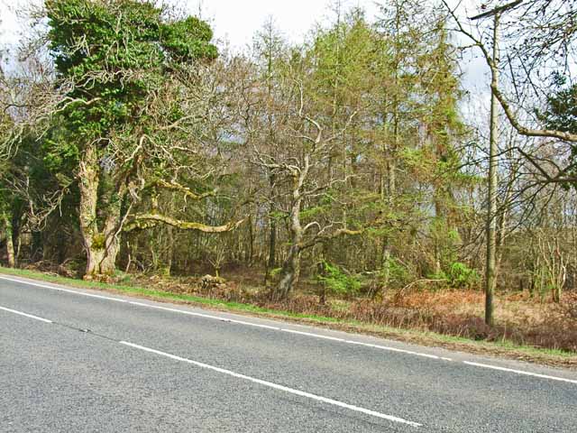
Barraer Fell Images
Images are sourced within 2km of 54.923578/-4.5389782 or Grid Reference NX3761. Thanks to Geograph Open Source API. All images are credited.
Barraer Fell is located at Grid Ref: NX3761 (Lat: 54.923578, Lng: -4.5389782)
Unitary Authority: Dumfries and Galloway
Police Authority: Dumfries and Galloway
What 3 Words
///detonated.scornful.lived. Near Newton Stewart, Dumfries & Galloway
Nearby Locations
Related Wikis

Mains of Penninghame Platform railway station
Mains of Penninghame Platform railway station (NX410617) was a halt on the Wigtownshire Railway branch line, from Newton Stewart to Whithorn, of the Portpatrick...

Newton Stewart Hospital
Newton Stewart Hospital is a health facility in Newton Stewart, Dumfries and Galloway, Scotland. It is managed by NHS Dumfries and Galloway. == History... ==

Newton Stewart railway station
Newton Stewart railway station served the town of Newton Stewart, Dumfries and Galloway, Scotland from 1861 to 1965 on the Portpatrick and Wigtownshire...

Newton Stewart F.C.
Newton Stewart Football Club are a football club from the town of Newton Stewart in the Dumfries and Galloway area of Scotland. Formed in 1880, as Newton...

Kirkcowan
Kirkcowan is an area about 15 miles in length, and from nearly two to nearly seven miles in breadth, comprising 30,580 acres, of which 7000 are arable...

Newton Stewart
Newton Stewart (Gd: Baile Ùr nan Stiùbhartach) is a former burgh town in the historical county of Wigtownshire in Dumfries and Galloway, southwest Scotland...

McMillan Hall, Newton Stewart
The McMillan Hall is a municipal building in Dashwood Square in Newton Stewart, Dumfries and Galloway, Scotland. The structure, which is used as a community...
Causeway End railway station
Causeway End (NX 42047 59602) or Causwayend was a railway station on the Wigtownshire Railway branch line, from Newton Stewart to Whithorn, of the Portpatrick...
Have you been to Barraer Fell?
Leave your review of Barraer Fell below (or comments, questions and feedback).