Ach a' Chorrain
Hill, Mountain in Sutherland
Scotland
Ach a' Chorrain

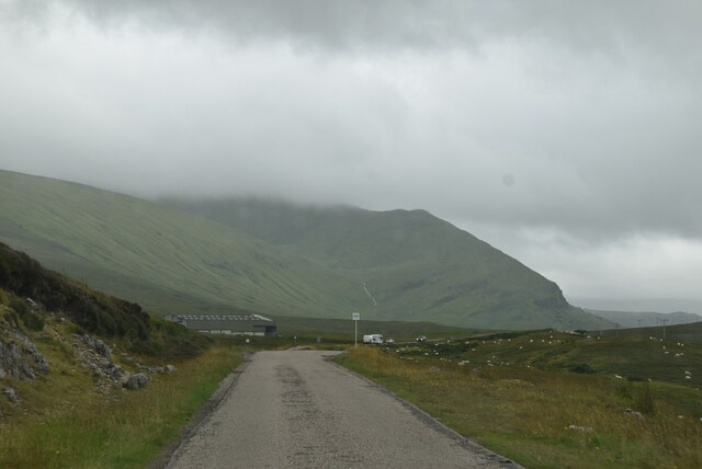
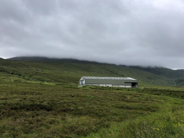
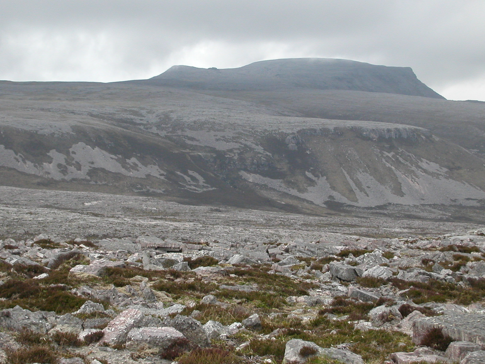
Ach a' Chorrain is a prominent hill located in the county of Sutherland, in the Highlands region of Scotland. It sits within the Assynt region, known for its rugged landscapes and dramatic scenery. With a height of around 701 meters (2,300 feet), Ach a' Chorrain offers breathtaking panoramic views of the surrounding area.
The hill is characterized by its steep slopes and rocky terrain, which make it a challenging but rewarding destination for hikers and mountaineers. It is often considered a lesser-known gem in the area, attracting those seeking a more secluded and off-the-beaten-path experience.
Ach a' Chorrain is part of the Northwest Highlands Geopark, recognized for its geological significance and rich biodiversity. The hill's rocky outcrops are composed of Torridonian sandstone, formed over 700 million years ago. Its unique geology has led to the presence of rare plant species, including mosses and lichens.
The hill is also home to a variety of wildlife, such as red deer, golden eagles, and buzzards. Visitors may have the opportunity to spot these creatures as they explore the surrounding moorland and heather-clad slopes.
In addition to its natural beauty, Ach a' Chorrain holds historical and cultural significance. The area is dotted with ancient settlements and standing stones, providing glimpses into the lives of past inhabitants. It offers a fascinating blend of natural and cultural heritage for those who venture to its summit.
If you have any feedback on the listing, please let us know in the comments section below.
Ach a' Chorrain Images
Images are sourced within 2km of 58.515095/-4.7985373 or Grid Reference NC3761. Thanks to Geograph Open Source API. All images are credited.


![Bridge on the A838 The grassy track crosses the burn by an unseen [from here] old stone bridge, whilst the main road uses a somewhat newer structure to the right.](https://s0.geograph.org.uk/geophotos/07/49/08/7490816_9ed0e9f7.jpg)


Ach a' Chorrain is located at Grid Ref: NC3761 (Lat: 58.515095, Lng: -4.7985373)
Unitary Authority: Highland
Police Authority: Highlands and Islands
What 3 Words
///presented.dark.dazzling. Near Oldshoremore, Highland
Nearby Locations
Related Wikis

River Dionard
The River Dionard is a river in the historic county of Sutherland in northwest Scotland. It arises as the outflow from Loch Dionard which lies below the...
Kyle of Durness
Kyle of Durness is a coastal inlet on the north coast of Scotland in the county of Sutherland. It extends 5+1⁄2 miles (9 kilometres) inland from Balnakeil...

Beinn Spionnaidh
Beinn Spionnaidh is a mountain of 773 m in Sutherland, the northwestern tip of the Scottish Highlands. It is a Corbett located west of Loch Eriboll and...
Laid, Sutherland
Laid is a remote, linear crofting township scattered along the A838 road on the western shore of the sea loch, Loch Eriboll in Sutherland in the northern...

Achiemore, Durness
Achiemore was a crofting community located on the Cape Wrath peninsula near the village of Durness in the Scottish county of Sutherland. The hamlet is...
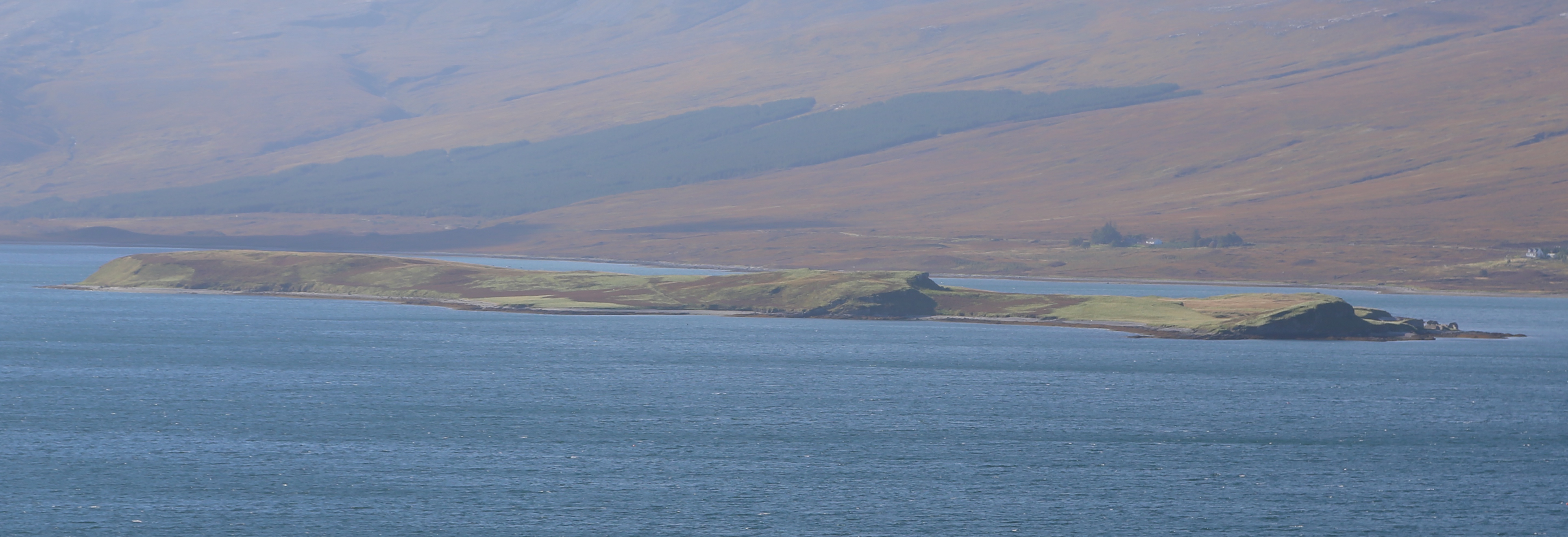
Eilean Choraidh
Eilean Choraidh, also known as Horse Island is an island in Loch Eriboll in Sutherland on the north coast of Scotland. It is about 26 hectares (64 acres...
Portnancon
Portnacon is a small remote crofting township, and former fishing station, on the west shore of Loch Eriboll in Sutherland, Scottish Highlands in the...
Cranstackie
Cranstackie is a mountain of 802 metres (2,631 ft) in Sutherland, the northwestern tip of the Scottish Highlands. It is a Corbett located west of Loch...
Nearby Amenities
Located within 500m of 58.515095,-4.7985373Have you been to Ach a' Chorrain?
Leave your review of Ach a' Chorrain below (or comments, questions and feedback).