Castle Hill
Hill, Mountain in Renfrewshire
Scotland
Castle Hill
Castle Hill is a prominent hill located in Renfrewshire, Scotland. Standing at an elevation of approximately 150 meters above sea level, it offers breathtaking views of the surrounding countryside and towns. The hill is located in close proximity to the town of Paisley, which lies around 7 miles west of Glasgow.
The name Castle Hill derives from the fact that it was once the site of a medieval castle. Unfortunately, little remains of the castle itself, but remnants of its foundations can still be seen. The castle was believed to have been built in the 12th century and served as a strategic stronghold during various conflicts.
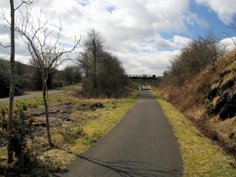
Today, Castle Hill is a popular destination for locals and tourists alike, thanks to its natural beauty and historical significance. The hill is covered in lush greenery and offers several walking trails that allow visitors to explore its slopes and take in the magnificent vistas.
The summit of Castle Hill is marked by a trig point, which acts as a reference point for mapping and surveying purposes. From here, one can enjoy panoramic views of Paisley, the Clyde Valley, and even glimpse the distant peaks of the Scottish Highlands on a clear day.
Castle Hill is also home to a variety of flora and fauna, making it an attractive spot for nature enthusiasts. The hill provides a habitat for a range of bird species, such as kestrels and buzzards, as well as an array of wildflowers and plant life.
Overall, Castle Hill is a captivating natural landmark that combines rich history with stunning scenery, offering visitors a glimpse into Renfrewshire's past while providing a peaceful sanctuary in nature.
If you have any feedback on the listing, please let us know in the comments section below.
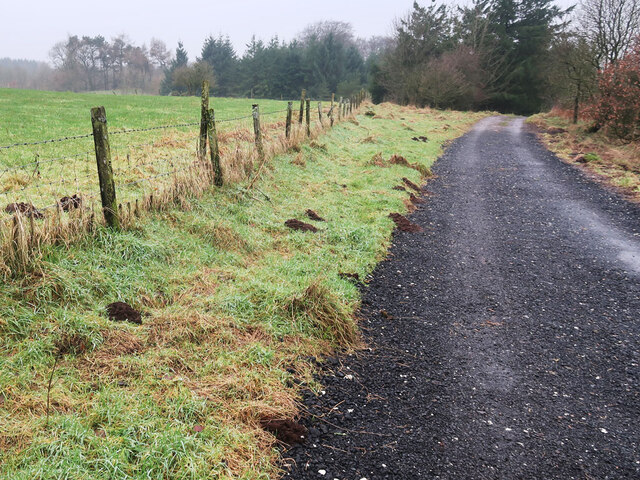
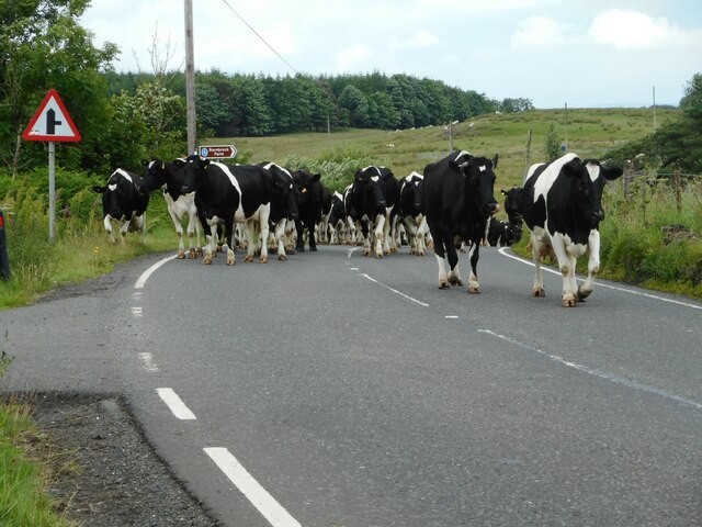
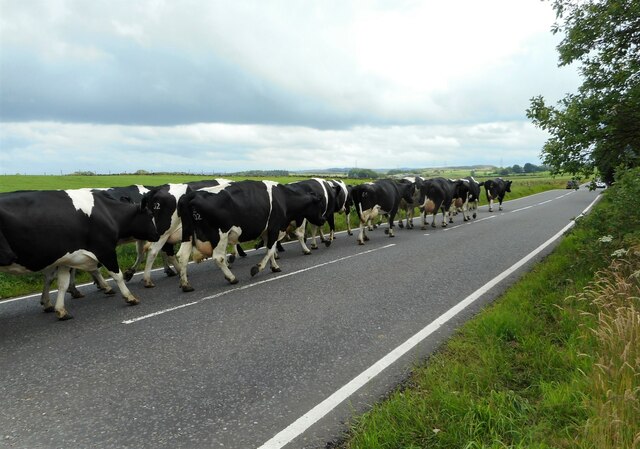
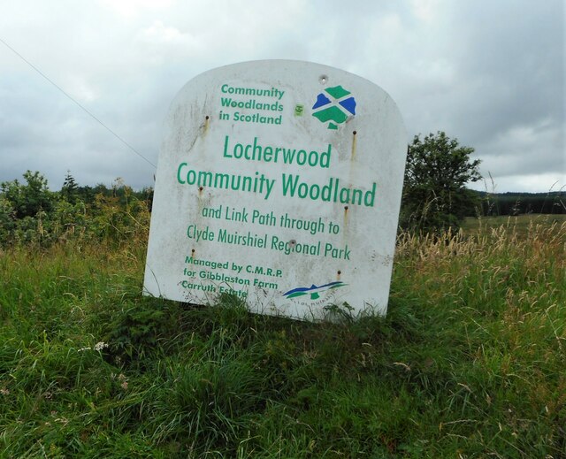
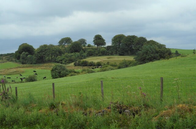
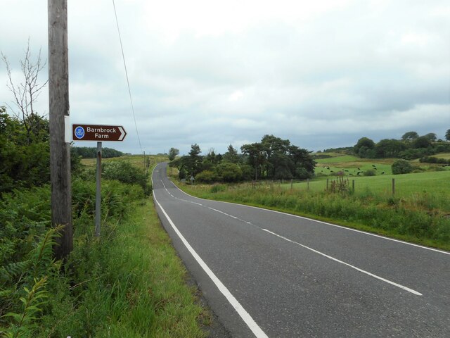
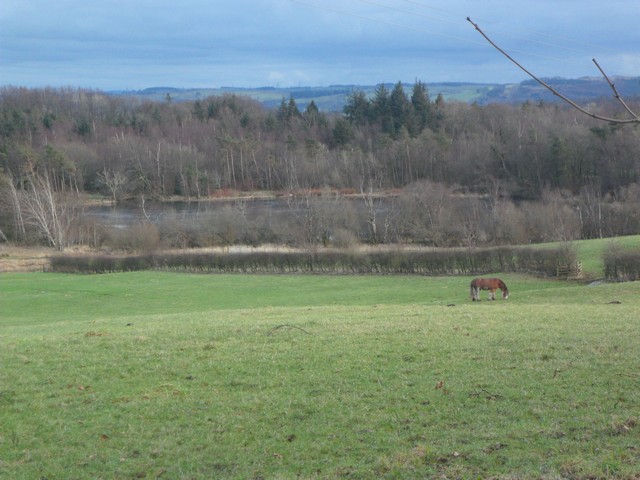
Castle Hill Images
Images are sourced within 2km of 55.832781/-4.6054207 or Grid Reference NS3663. Thanks to Geograph Open Source API. All images are credited.


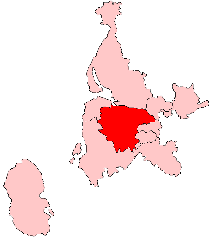
Castle Hill is located at Grid Ref: NS3663 (Lat: 55.832781, Lng: -4.6054207)
Unitary Authority: Renfrewshire
Police Authority: Renfrewshire and Inverclyde
What 3 Words
///snips.tallest.reserving. Near Bridge of Weir, Renfrewshire
Nearby Locations
Related Wikis

Ranfurly, Renfrewshire
Ranfurly (Scottish Gaelic: Rann Feòirling) is a small settlement on the southern edge of the village of Bridge of Weir, which lies within the Gryffe Valley...

Ranfurly Castle
Ranfurly Castle is a ruined 15th century castle, about 0.5 miles (0.80 km) south west of Bridge of Weir, Renfrewshire, Scotland, in Ranfurly golf course...
West Renfrewshire (Scottish Parliament constituency)
West Renfrewshire was a constituency of the Scottish Parliament (Holyrood). It elected one Member of the Scottish Parliament (MSP) by the first past the...
Castle Semple railway station
Castle Semple railway station was intended to be a railway station that would have served the village of Howwood, Renfrewshire, Scotland as part of the...
Nearby Amenities
Located within 500m of 55.832781,-4.6054207Have you been to Castle Hill?
Leave your review of Castle Hill below (or comments, questions and feedback).