Blairshinnoch Hill

Hill, Mountain in Wigtownshire

Scotland

Blairshinnoch Hill

Old milestone This Wigtownshire style milestone has recently been uplifted and repainted by a Milestone Society member.  The W is for Wigtown.   This style of milestone was probably set up in the late 19C/early 20C after the inaugurtion of county councils.
Old milestone Credit: Jacqueline Crowther

Blairshinnoch Hill is a prominent hill located in the region of Wigtownshire, in southwest Scotland. Situated near the village of Kirkcowan, it forms part of the picturesque Galloway Hills, which are known for their rugged beauty and breathtaking landscapes.

Rising to an elevation of approximately 411 meters (1,348 feet), Blairshinnoch Hill is a popular destination for hikers, nature enthusiasts, and outdoor adventurers. Its distinctive rounded shape and heather-covered slopes provide a scenic backdrop for those exploring the area. The hill offers panoramic views of the surrounding countryside, including the rolling farmland and the distant coastline.

The hill is also home to a variety of flora and fauna, making it an important ecological site. The slopes are populated with heathland vegetation, including heather, gorse, and bracken, which provide habitat for numerous species of birds, insects, and small mammals. The hill is particularly known for its diverse birdlife, with species such as buzzards, peregrine falcons, and kestrels frequently spotted soaring overhead.

Access to Blairshinnoch Hill is relatively easy, with a network of well-maintained footpaths and trails leading to the summit. The hill attracts visitors throughout the year, with many taking advantage of the opportunity to enjoy a peaceful walk in nature, observe wildlife, or simply appreciate the stunning views. Overall, Blairshinnoch Hill offers a memorable experience for those seeking to immerse themselves in the natural beauty of Scotland's Galloway Hills.

If you have any feedback on the listing, please let us know in the comments section below.

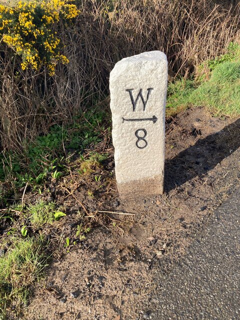
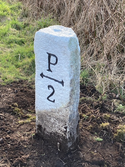
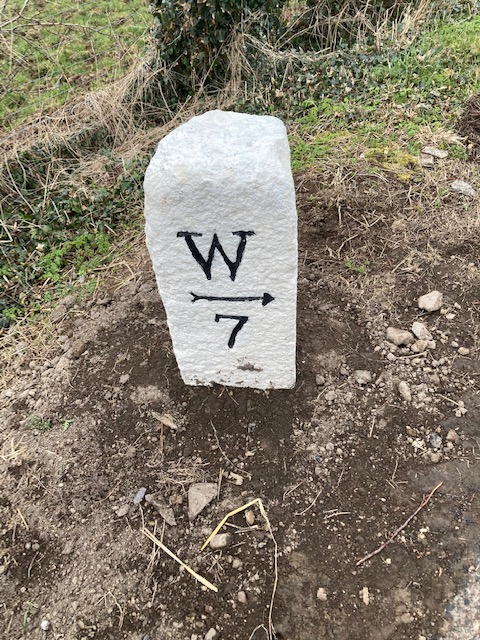
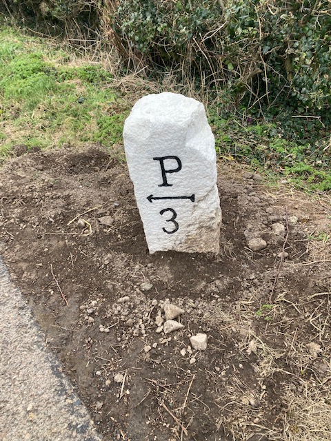
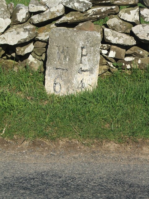
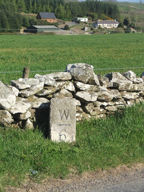
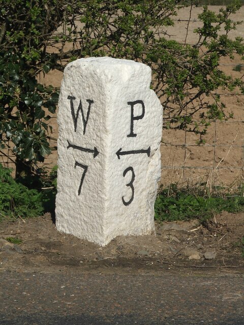
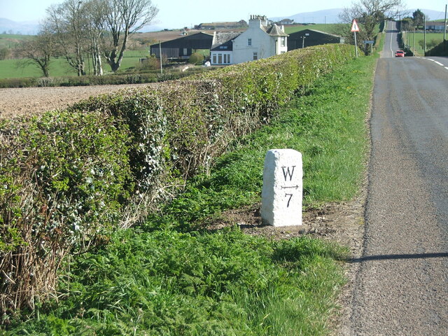
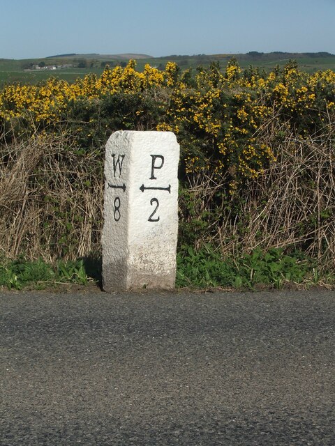
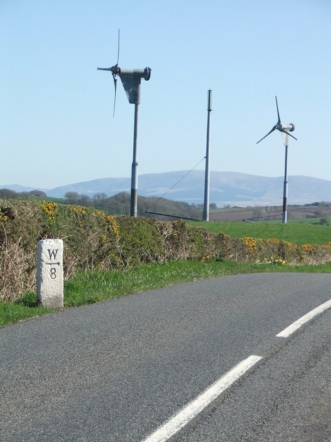
Blairshinnoch Hill Images

Images are sourced within 2km of 54.790579/-4.5382233 or Grid Reference NX3646. Thanks to Geograph Open Source API. All images are credited.

Old milestone This Wigtownshire style milestone has recently been uplifted and repainted by a Milestone Society member.  The W is for Wigtown.   This style of milestone was probably set up in the late 19C/early 20C after the inaugurtion of county councils.
Old milestone
This Wigtownshire style milestone has recently been uplifted and repainted by a Milestone Society member. The W is for Wigtown. This style of milestone was probably set up in the late 19C/early 20C after the inaugurtion of county councils.
Old milestone The right face of the milestone 8 miles from Wigtown.   Many of the milestones in Wigtownshire are of a quadrant shape.
Old milestone
The right face of the milestone 8 miles from Wigtown. Many of the milestones in Wigtownshire are of a quadrant shape.
Old milestone Another of the quadrant shaped Wigtownshire milestones.   Recently cleared of vegetation and repainted by a Milestone Society member.   W for Wigtown.
Old milestone
Another of the quadrant shaped Wigtownshire milestones. Recently cleared of vegetation and repainted by a Milestone Society member. W for Wigtown.
Old milestone The Port William face of the Wigtownshire quadrant milestone.  A large old chip off the back rhs corner but well preserved with its new coat of paint.
Old milestone
The Port William face of the Wigtownshire quadrant milestone. A large old chip off the back rhs corner but well preserved with its new coat of paint.
Old milestone Another milestone along the B7085 from the A746 south of Bladnoch bridge.   Another narrow verge backed by a stone wall typical of this area.
Old milestone
Another milestone along the B7085 from the A746 south of Bladnoch bridge. Another narrow verge backed by a stone wall typical of this area.
Old milestone The buildings in the distance are at Culgarie.  The white lichens on the stone wall show how clean the air is.
Old milestone
The buildings in the distance are at Culgarie. The white lichens on the stone wall show how clean the air is.
Old milestone Work finished on this milestone by the Milestone Society member.   It is just south of Airyhassen and a lane across to Mochrum.
Old milestone
Work finished on this milestone by the Milestone Society member. It is just south of Airyhassen and a lane across to Mochrum.
Old milestone Airyhassen and the lane across to Mochrum in the dip.
Old milestone
Airyhassen and the lane across to Mochrum in the dip.
Old milestone Just southwest of Lanberrick, another milestone painted by a Milestone Society member.  On the very edge of the road but highlighted by the yellow gorse in Springtime.
Old milestone
Just southwest of Lanberrick, another milestone painted by a Milestone Society member. On the very edge of the road but highlighted by the yellow gorse in Springtime.
Old milestone Easy to find this milestone near the wind turbines.
Old milestone
Easy to find this milestone near the wind turbines.
High Carseduchan Entrance drive to the farm house and buildings which is at the end of a long track from the Airyhassen to Mochrum road.
High Carseduchan
Entrance drive to the farm house and buildings which is at the end of a long track from the Airyhassen to Mochrum road.
High Carseduchan View towards the farmhouse at the end of a long track from the Airyhassen to Mochrum road.
High Carseduchan
View towards the farmhouse at the end of a long track from the Airyhassen to Mochrum road.
Carseduchan Holdings View along this track to Carseduchan Holdings left of picture taken from High Carseduchan.
Carseduchan Holdings
View along this track to Carseduchan Holdings left of picture taken from High Carseduchan.
Carseduchan Holdings View of this farm north east of Mochrum in the Machars.
Carseduchan Holdings
View of this farm north east of Mochrum in the Machars.
Pump and Trough Found this old water pump and stone trough by the side of Carseduchan Holdings.
Pump and Trough
Found this old water pump and stone trough by the side of Carseduchan Holdings.
Track to Glens View This small track by Carseduchan Holdings leads to a cottage called Glens View, the white chimney pot can just be seen to the right of the picture.
Track to Glens View
This small track by Carseduchan Holdings leads to a cottage called Glens View, the white chimney pot can just be seen to the right of the picture.
Carseduchan Plantation The last two nights have seen sub zero temperatures leaving flooded land and tracks iced over, this one leads to the remains of the plantation.
Carseduchan Plantation
The last two nights have seen sub zero temperatures leaving flooded land and tracks iced over, this one leads to the remains of the plantation.
Shoogly wall View from the track to High Carseduchan over towards Druchtag Plantation on the horizon.
Shoogly wall
View from the track to High Carseduchan over towards Druchtag Plantation on the horizon.
Show me another place!

Blairshinnoch Hill is located at Grid Ref: NX3646 (Lat: 54.790579, Lng: -4.5382233)

Unitary Authority: Dumfries and Galloway

Police Authority: Dumfries and Galloway

What 3 Words

///crew.downs.riders. Near Whithorn, Dumfries & Galloway

Related Wikis

Mochrum

Mochrum () is a coastal civil and Church of Scotland parish situated to the east of Luce Bay on the Machars peninsula and 8 miles (13 km) southwest of...

Drumtroddan standing stones

The Drumtroddan standing stones (grid reference NX 36449 44300) are a small Neolithic or Bronze Age stone alignment in the parish of Mochrum, Wigtownshire...

Whauphill

Whauphill is a small village located in the historical county of Wigtownshire in the Machars, Dumfries and Galloway, Scotland.Whauphill is a hub that supports...

Monreith House

Monreith House is a category A listed Georgian mansion located 1.5 kilometres (0.93 mi) east of the village of Port William in Mochrum parish in the historical...

Nearby Amenities

Located within 500m of 54.790579,-4.5382233
Blairshinnoch
Naptan AtcoCode: 680000864333
Naptan Bearing: W
Naptan BusStopType: CUS
Naptan CommonName: Blairshinnoch
Naptan Indicator: opp Road End
Naptan Landmark: Blairshinnoch
Naptan NaptanCode: 34236974
Naptan Notes: none
Naptan Street: U40
Naptan Verified: no
Source: naptan_import
Lat/Long: 54.7880421/-4.5409525
Blairshinnoch
Naptan AtcoCode: 680000864444
Naptan Bearing: E
Naptan BusStopType: CUS
Naptan CommonName: Blairshinnoch
Naptan Indicator: Road End
Naptan Landmark: Blairshinnoch
Naptan NaptanCode: 34236973
Naptan Notes: none
Naptan Street: U40
Naptan Verified: no
Source: naptan_import
Lat/Long: 54.7880715/-4.5412654
Power: pole
Lat/Long: 54.7930017/-4.5318214
Power: pole
Lat/Long: 54.7924526/-4.5324799
Power: pole
Lat/Long: 54.7919292/-4.5330725
Power: pole
Lat/Long: 54.7911767/-4.5339332
Power: pole
Lat/Long: 54.7905024/-4.534716
Power: pole
Lat/Long: 54.7898194/-4.5355089
Power: pole
Lat/Long: 54.789117/-4.5363931
Power: pole
Lat/Long: 54.7884513/-4.5372115
Power: pole
Lat/Long: 54.7879875/-4.5378112
Power: pole
Lat/Long: 54.7873461/-4.5386085
Power: pole
Lat/Long: 54.7866911/-4.539448
Power: pole
Lat/Long: 54.7906371/-4.5333994
Power: pole
Lat/Long: 54.7907645/-4.5321436
Power: pole
Lat/Long: 54.790892/-4.5308619
Power: pole
Lat/Long: 54.7893909/-4.5371245
Power: pole
Lat/Long: 54.7896269/-4.5377618
Power: pole
Lat/Long: 54.7897896/-4.5386249
Power: pole
Lat/Long: 54.7899618/-4.5395068
Power: pole
Lat/Long: 54.7901855/-4.5406662
Power: pole
Lat/Long: 54.7904933/-4.5417057
Power: pole
Lat/Long: 54.790911/-4.5431144
Power: pole
Lat/Long: 54.7913747/-4.5446571
Power: pole
Lat/Long: 54.7879419/-4.5372937
Power: pole
Lat/Long: 54.7878884/-4.536572
Power: pole
Lat/Long: 54.7878336/-4.5357273
Power: pole
Lat/Long: 54.7877867/-4.5349336
Power: pole
Lat/Long: 54.7877292/-4.5341237
Power: pole
Lat/Long: 54.7878978/-4.5331677
Power: pole
Lat/Long: 54.7881172/-4.5320352
Power: pole
Lat/Long: 54.7880209/-4.5381384
Power: pole
Lat/Long: 54.7880798/-4.5389482
Power: pole
Lat/Long: 54.7881346/-4.5395632
Power: pole
Lat/Long: 54.7883848/-4.54009
Power: pole
Lat/Long: 54.7886551/-4.5406817
The data included in this document is from www.openstreetmap.org. The data is made available under ODbL.

Have you been to Blairshinnoch Hill?

Leave your review of Blairshinnoch Hill below (or comments, questions and feedback).