Bromley Muir
Hill, Mountain in Dunbartonshire
Scotland
Bromley Muir
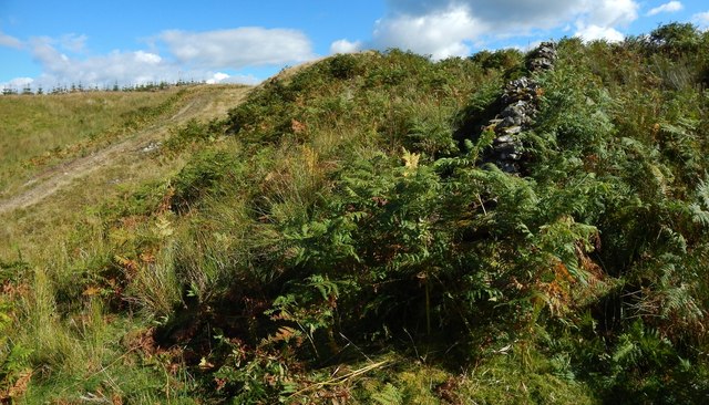
Bromley Muir, located in Dunbartonshire, Scotland, is a prominent hill/mountain that stands tall at an elevation of approximately 450 meters (1,480 feet) above sea level. Situated in the picturesque surroundings of the Highlands, this natural marvel offers breathtaking panoramic views of the surrounding landscape.
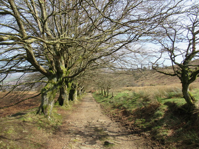
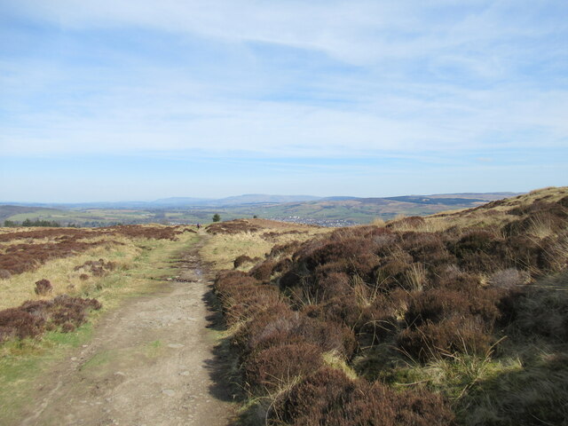
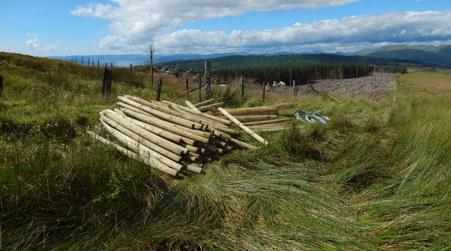
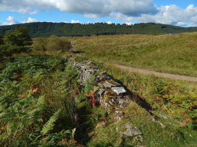
Covered in lush greenery, Bromley Muir is home to a diverse range of flora and fauna, making it an ideal spot for nature enthusiasts and wildlife lovers. The hill/mountain is characterized by its gently sloping terrain, which gradually rises to reach its peak. The slopes are adorned with heather, grasses, and a variety of wildflowers, creating a vibrant and colorful spectacle during the blooming seasons.
Hikers and climbers are drawn to Bromley Muir for its well-defined trails and challenging routes, catering to both beginners and experienced adventurers. The hill/mountain offers a perfect blend of accessibility and adventure, making it a popular destination year-round. Its summit rewards visitors with unrivaled views of the surrounding countryside, including the nearby Loch Lomond and Trossachs National Park.
Bromley Muir is also steeped in history, with ancient ruins and archaeological sites scattered across its slopes. These remnants provide a glimpse into the area's past, offering a fascinating insight into the lives of those who once inhabited the region.
Overall, Bromley Muir in Dunbartonshire is an enchanting hill/mountain that beckons outdoor enthusiasts, nature lovers, and history buffs alike. Its natural beauty, diverse wildlife, and historical significance make it a truly captivating destination in Scotland's stunning countryside.
If you have any feedback on the listing, please let us know in the comments section below.
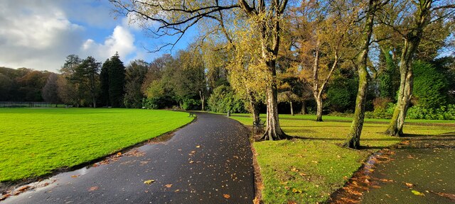
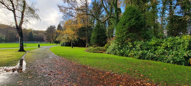
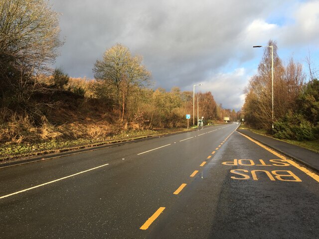
Bromley Muir Images
Images are sourced within 2km of 55.989793/-4.6166515 or Grid Reference NS3680. Thanks to Geograph Open Source API. All images are credited.


Bromley Muir is located at Grid Ref: NS3680 (Lat: 55.989793, Lng: -4.6166515)
Unitary Authority: West Dunbartonshire
Police Authority: Argyll and West Dunbartonshire
What 3 Words
///daunting.players.enlighten. Near Alexandria, West Dunbartonshire
Nearby Locations
Related Wikis
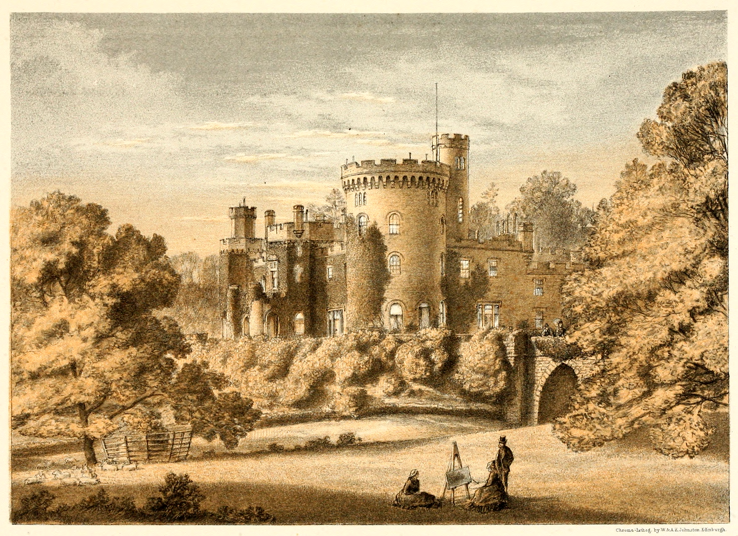
Tullichewan
Tullichewan is a former estate in the Vale of Leven, near Loch Lomond, Scotland. Tullichewan Castle was built in 1792 and demolished in 1954. It was located...

Vale of Leven Hospital
Vale of Leven District General Hospital or simply the Vale of Leven Hospital is a district general hospital in Alexandria, West Dunbartonshire, Scotland...

Argyll Motor Works
The Argyll Motor Works, currently known as Lomond Galleries, is a former car factory in Alexandria, West Dunbartonshire, Scotland. It was opened in 1906...

Dumbarton (district)
Dumbarton (Scottish Gaelic: Dùn Breatainn) was, from 1975 to 1996, one of nineteen local government districts in the Strathclyde region of Scotland, covering...
Vale of Leven Academy
Vale of Leven Academy is a non-denominational secondary school in West Dunbartonshire, Scotland. The school serves the surrounding towns of Alexandria...

Millburn Church
Millburn Church is a ruined former church in Renton, West Dunbartonshire, Scotland. It was built in 1845 for the Free Church of Scotland in the Gothic...
Balloch railway station
Balloch railway station is a railway station serving the town of Balloch in Scotland. The station is a western terminus of the North Clyde Line, sited...

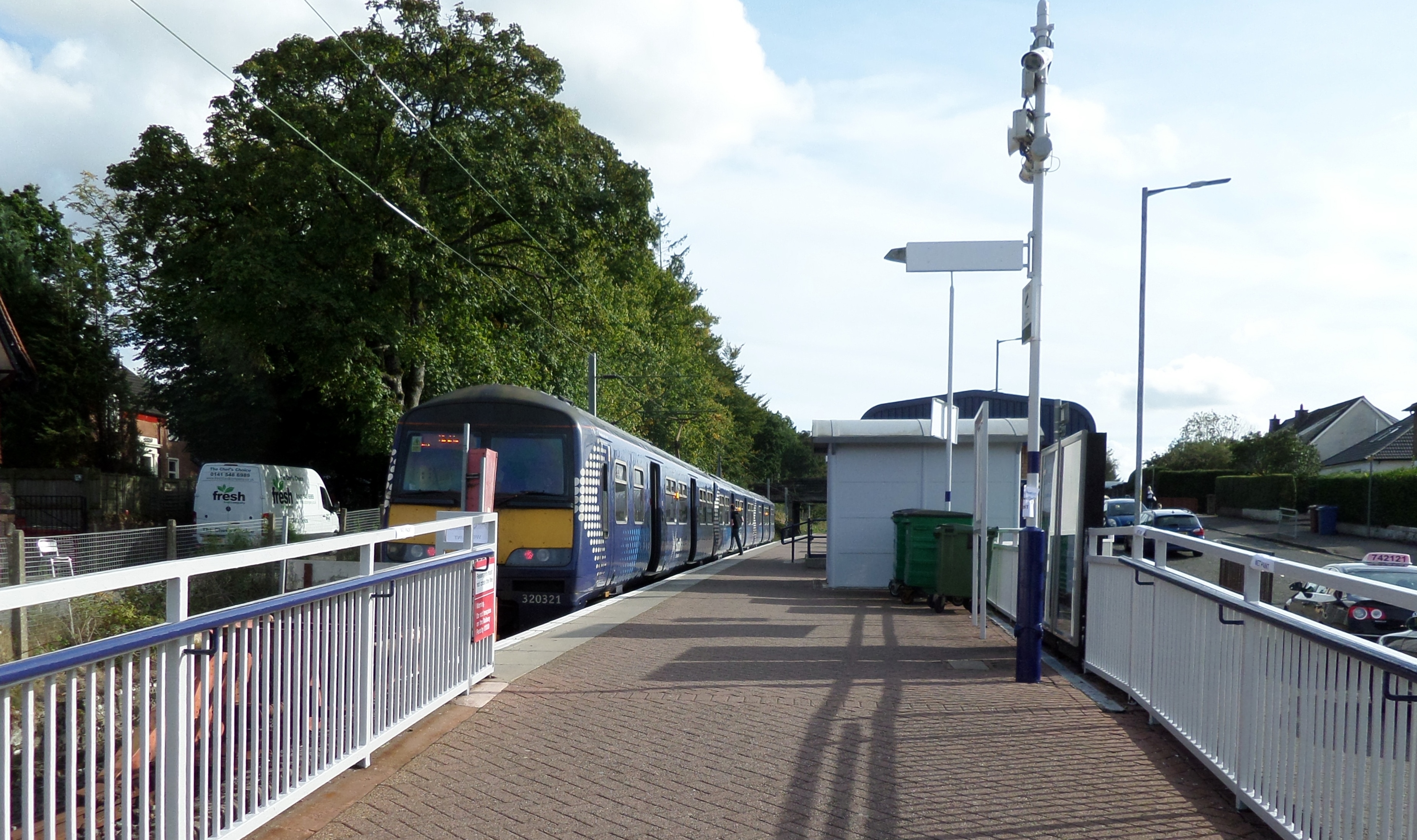
Alexandria railway station
Alexandria railway station serves the town of Alexandria, Scotland. The station is managed by ScotRail and is served by their trains on the North Clyde...
Nearby Amenities
Located within 500m of 55.989793,-4.6166515Have you been to Bromley Muir?
Leave your review of Bromley Muir below (or comments, questions and feedback).