Beinn Chabhair
Hill, Mountain in Perthshire
Scotland
Beinn Chabhair
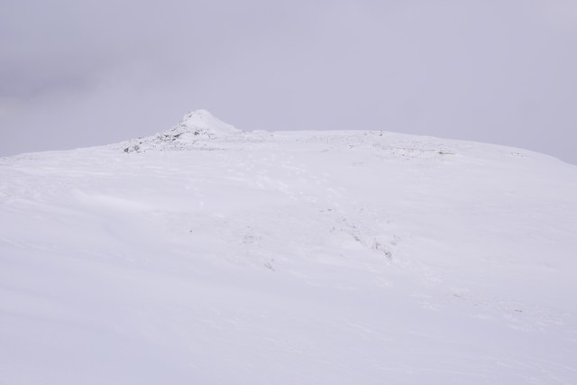
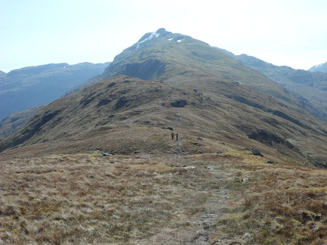
Beinn Chabhair is a prominent hill located in the southern Highlands of Scotland, specifically in the county of Perthshire. With an elevation of 933 meters (3,061 feet), it is classified as a Corbett, meaning it falls just shy of being classified as a Munro (hills in Scotland with an elevation of at least 3,000 feet).
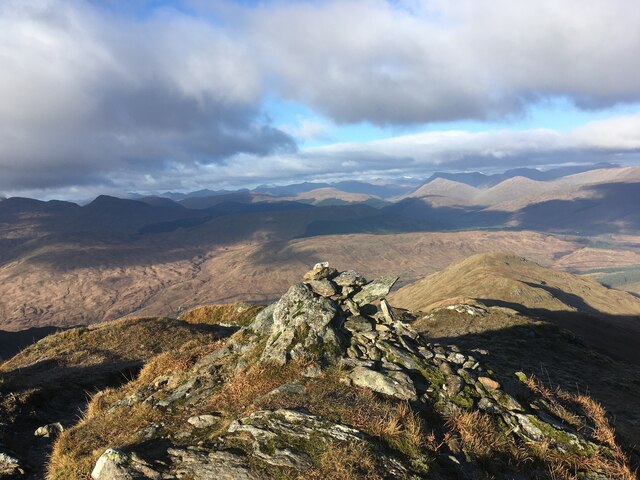
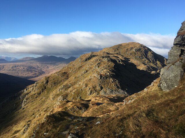
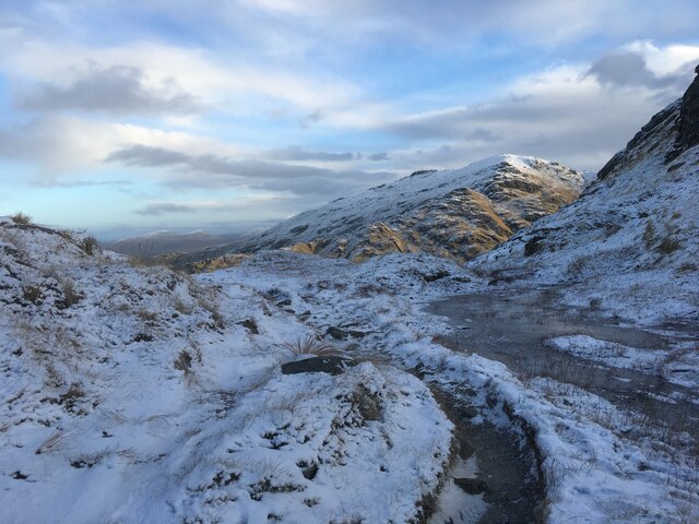
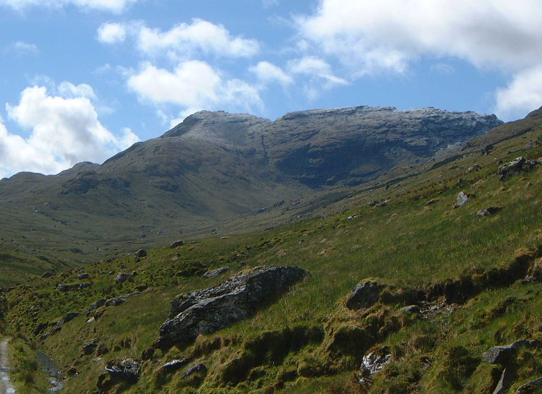
Situated near the northern end of Loch Lomond and the Trossachs National Park, Beinn Chabhair offers stunning panoramic views of the surrounding landscape. Its distinct triangular shape and rugged slopes make it easily recognizable from a distance. The hill's name, Beinn Chabhair, is derived from the Gaelic words meaning "hill of the hawk."
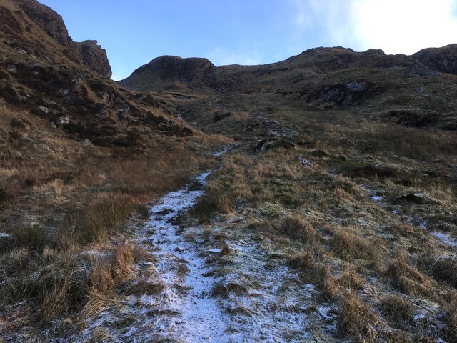
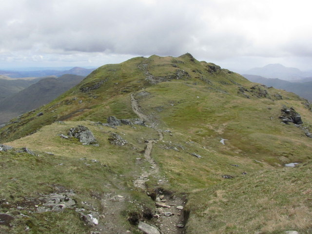
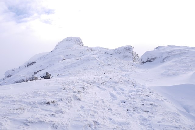
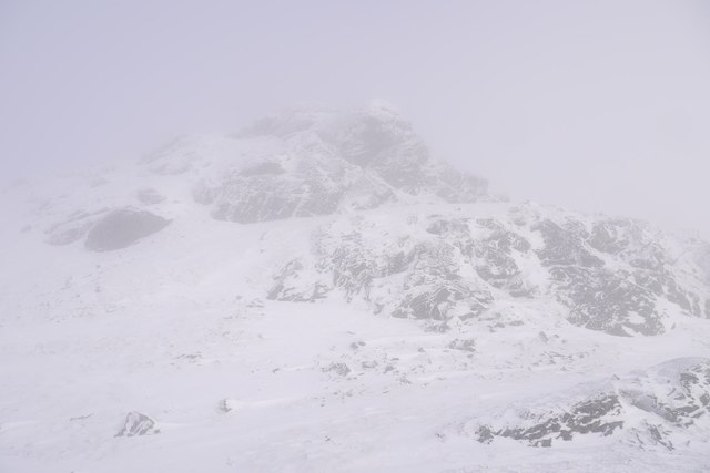
The ascent of Beinn Chabhair is a popular activity among hikers and mountaineers, attracting outdoor enthusiasts from both near and far. The most common starting point for the climb is from Inverarnan, where a well-defined path leads through Strath Fillan and up the hill's eastern slopes. The ascent can be challenging at times, requiring a good level of fitness and navigational skills, especially in adverse weather conditions.
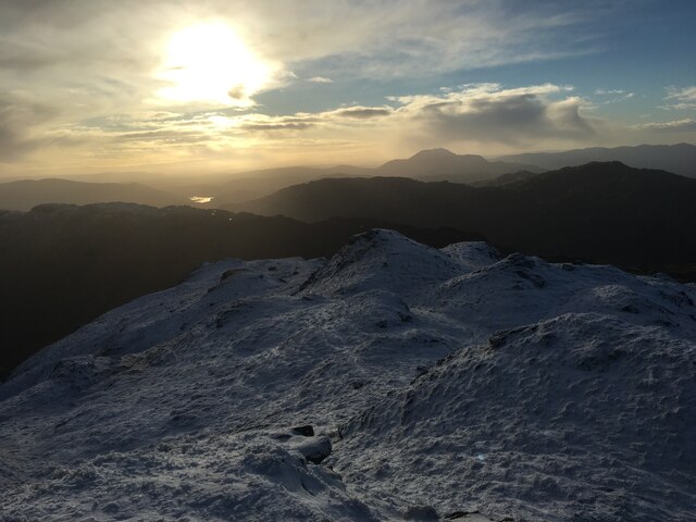
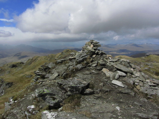
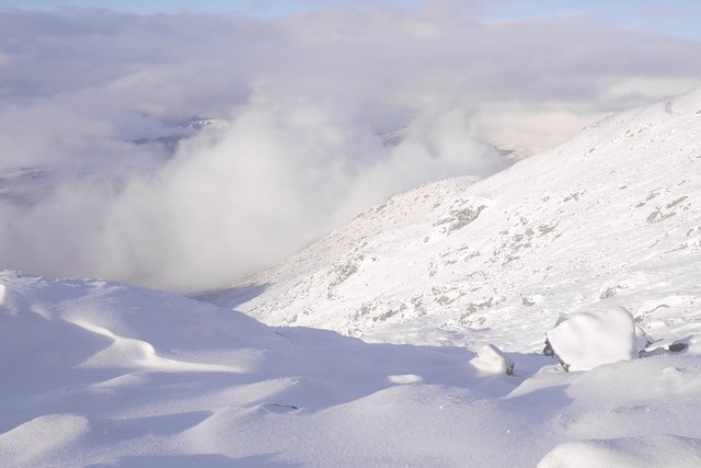
Once at the summit, hikers are rewarded with breathtaking views of Loch Lomond and the surrounding peaks, including Ben Lui and Ben More. On clear days, it is even possible to see as far as the Arrochar Alps and the Isle of Arran in the distance.
Overall, Beinn Chabhair offers a thrilling and rewarding experience for those seeking to explore the mountainous beauty of Perthshire and the Scottish Highlands.
If you have any feedback on the listing, please let us know in the comments section below.
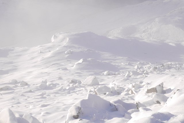
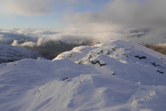
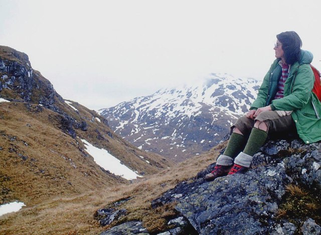
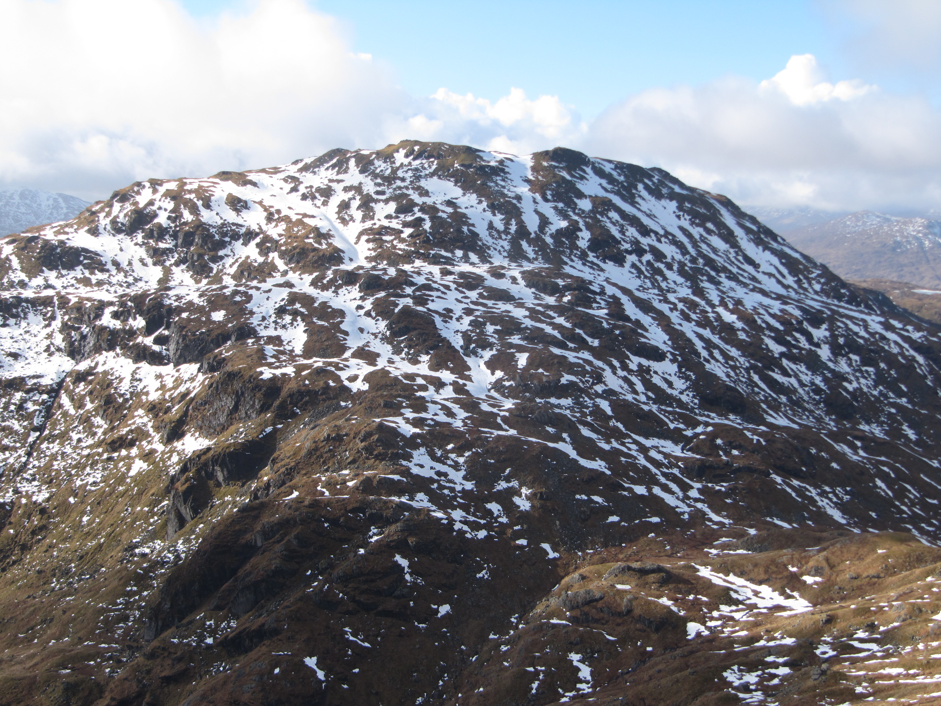
Beinn Chabhair Images
Images are sourced within 2km of 56.325821/-4.6415185 or Grid Reference NN3617. Thanks to Geograph Open Source API. All images are credited.


Beinn Chabhair is located at Grid Ref: NN3617 (Lat: 56.325821, Lng: -4.6415185)
Unitary Authority: Stirling
Police Authority: Forth Valley
What 3 Words
///shirt.innocence.shot. Near Tyndrum, Stirling
Nearby Locations
Related Wikis
Beinn Chabhair
Beinn Chabhair (Gaelic: Beinn a' Chabhair) is a Scottish mountain. It has fine views down to Loch Lomond. A common approach is from Inverarnan, up a steep...
An Caisteal
An Caisteal (Scottish Gaelic for 'the castle') is a mountain in the Breadalbane region of the Scottish Highlands, south of the village of Crianlarich....
Beinn a' Chroin
Beinn a' Chroin is a mountain in the Breadalbane region of the Scottish Highlands, six kilometres south of Crianlarich. With a height of 941 metres (3...

Meall Mor (Loch Katrine)
Meall Mor (747 m) is a mountain in the Grampian Mountains of Scotland. It lies in the Stirling region, on the northern side of Loch Katrine in the Trossachs...
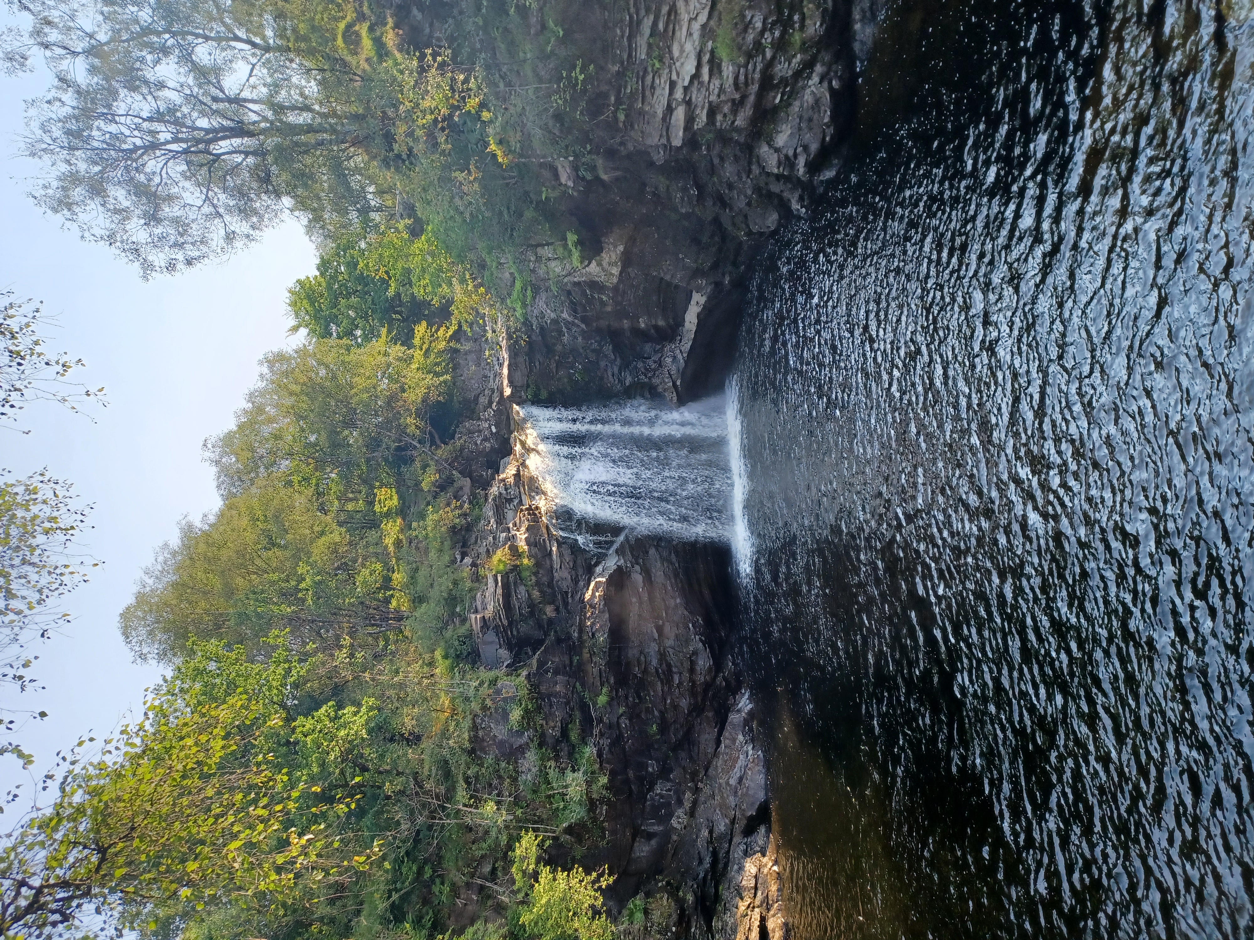
Falls of Falloch
Falls of Falloch (Gaelic: Eas Falach, means waterfall of the river Falloch) is a waterfall and local beauty spot on the river Falloch off the A82. It is...

Clach nam Breatann
The Clach nam Breatann (or Minvircc) is a large stone which marked the boundary between Dál Riata, Alt Clut and the homeland of the Picts in what is now...

Inverarnan Canal
The Inverarnan Canal was a short length of canal terminating at Garbal, close to the hamlet of Inverarnan, Scotland. This waterway once linked the old...
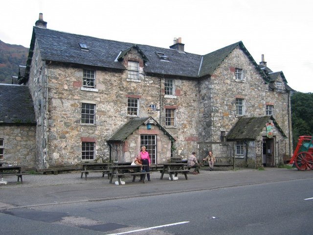
Inverarnan
Inverarnan is a small hamlet in Stirling, Scotland, near the village of Crianlarich and the hamlet of Ardlui, Argyll and Bute. It is the only settlement...
Nearby Amenities
Located within 500m of 56.325821,-4.6415185Have you been to Beinn Chabhair?
Leave your review of Beinn Chabhair below (or comments, questions and feedback).