Broom Hill
Hill, Mountain in Wigtownshire
Scotland
Broom Hill
Broom Hill is a prominent hill located in Wigtownshire, a historical county in southwest Scotland. Standing at an elevation of approximately 220 meters (720 feet), it is considered a modest hill rather than a towering mountain.
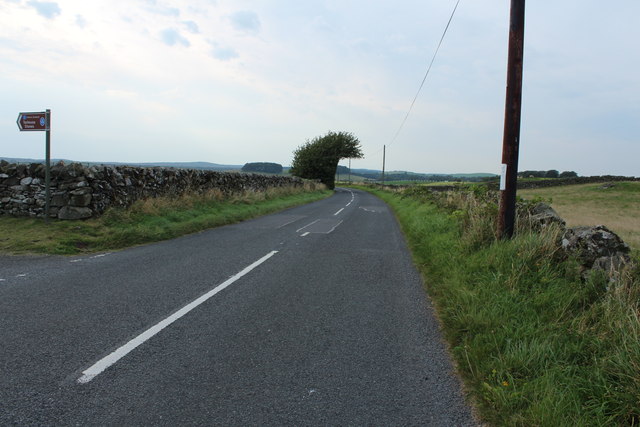
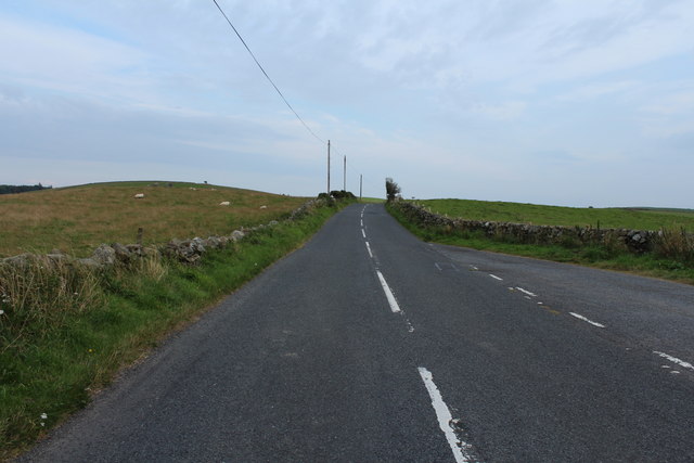
Situated near the village of Kirkcowan, Broom Hill offers stunning panoramic views of the surrounding countryside. Its location within a rural landscape ensures a peaceful and tranquil atmosphere for visitors and locals alike. The hill is covered in lush greenery, consisting mainly of grass and heather, which creates a picturesque backdrop throughout the year.
Broom Hill is a popular destination for hikers and outdoor enthusiasts, providing a variety of walking routes to suit different abilities. The paths leading to the summit are well-maintained, ensuring a safe and enjoyable ascent. On a clear day, those who reach the top are rewarded with breathtaking views of the Galloway Hills, the Solway Firth, and even the distant peaks of the Lake District in England.
The hill is also known for its diverse wildlife, with a range of bird species, including buzzards and kestrels, frequently seen soaring overhead. It is not uncommon to spot rabbits, foxes, and deer in the surrounding fields and woodlands.
Broom Hill is a perfect spot for nature lovers seeking a peaceful escape, offering a chance to connect with the beauty of the Scottish countryside. Whether it's a leisurely walk or a challenging hike, this hill provides an opportunity to enjoy the great outdoors while immersing oneself in the tranquility of Wigtownshire.
If you have any feedback on the listing, please let us know in the comments section below.
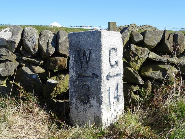
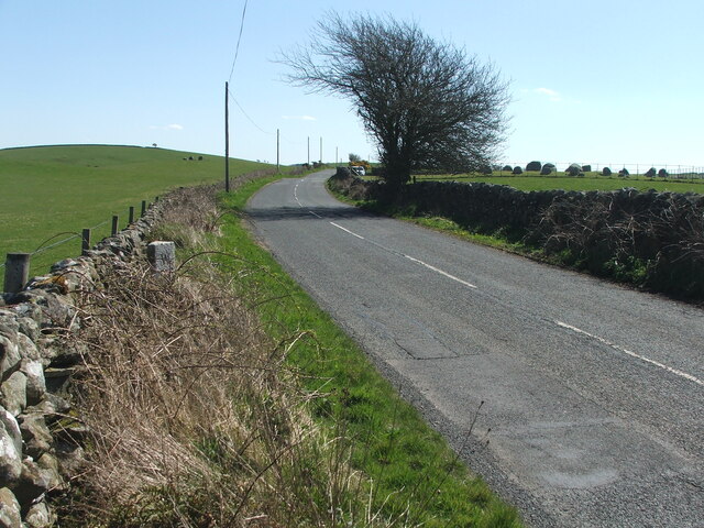
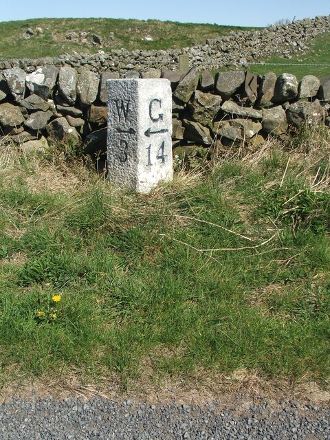
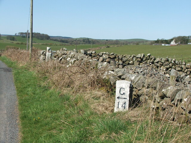
Broom Hill Images
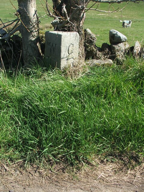
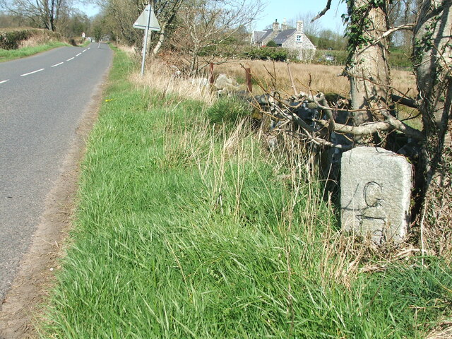
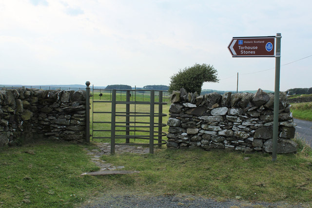
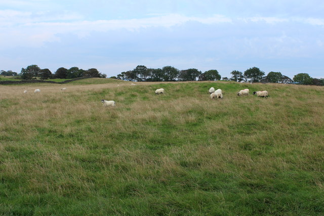
Images are sourced within 2km of 54.869804/-4.5458671 or Grid Reference NX3655. Thanks to Geograph Open Source API. All images are credited.


Broom Hill is located at Grid Ref: NX3655 (Lat: 54.869804, Lng: -4.5458671)
Unitary Authority: Dumfries and Galloway
Police Authority: Dumfries and Galloway
What 3 Words
///eaten.nerve.morphing. Near Newton Stewart, Dumfries & Galloway
Nearby Locations
Related Wikis

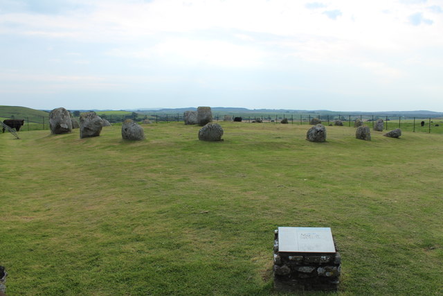
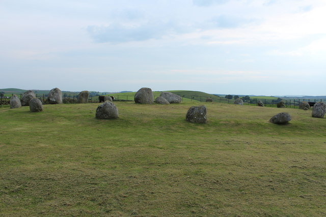
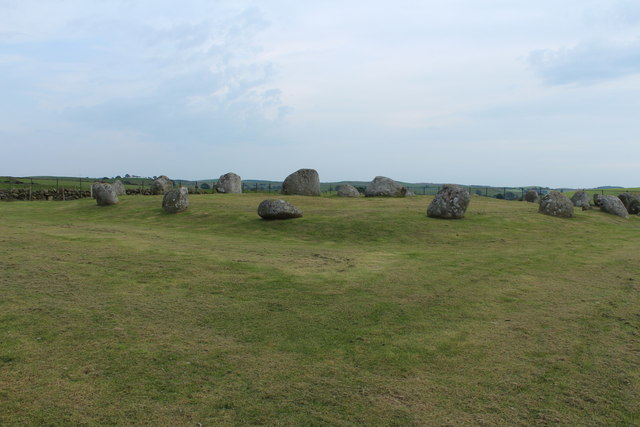
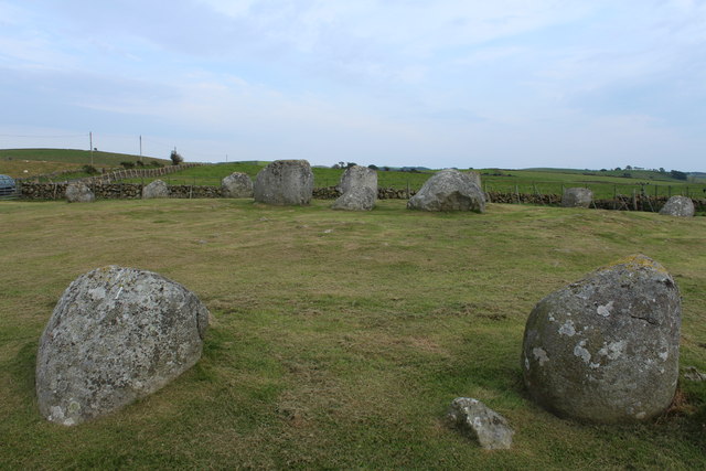
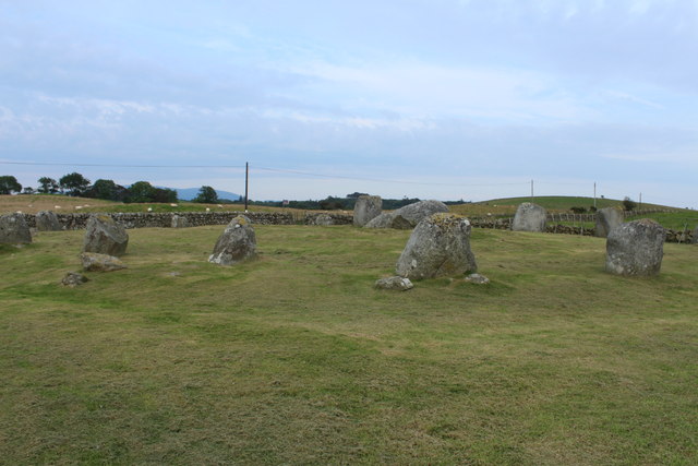
Torhouse
The Standing Stones of Torhouse (also Torhousekie) are a stone circle of nineteen granite boulders on the land of Torhouse, three miles west of Wigtown...

Bladnoch Distillery and Visitor Centre
Bladnoch distillery is a single malt Scotch whisky distillery in south west Scotland. It is one of six remaining Lowland distilleries, located at Bladnoch...

Bladnoch, Wigtownshire
Bladnoch (Scottish Gaelic: Blaidneach) is a small village on the River Bladnoch in Wigtownshire, Scotland, located just outside the county town of Wigtown...

Wigtown & Bladnoch F.C.
Wigtown & Bladnoch Football Club are a football club from the town of Wigtown in the Dumfries and Galloway area of Scotland, who play in the South of Scotland...
Kirkcowan
Kirkcowan is an area about 15 miles in length, and from nearly two to nearly seven miles in breadth, comprising 30,580 acres, of which 7000 are arable...
Causeway End railway station
Causeway End (NX 42047 59602) or Causwayend was a railway station on the Wigtownshire Railway branch line, from Newton Stewart to Whithorn, of the Portpatrick...
Blackfriars, Wigtown
The Church of the Friars Preachers of the Annunciation of the Blessed Virgin Mary at Wigtown, commonly called Blackfriars, was a mendicant friary of the...

Kirkinner railway station
Kirkinner was a railway station on the Wigtownshire Railway branch line, from Newton Stewart to Whithorn, of the Portpatrick and Wigtownshire Joint Railway...
Have you been to Broom Hill?
Leave your review of Broom Hill below (or comments, questions and feedback).