Chapel Hill
Hill, Mountain in Renfrewshire
Scotland
Chapel Hill
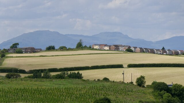
Chapel Hill is a small hill located in the Renfrewshire region of Scotland. Standing at an elevation of approximately 160 meters (520 feet), it offers a picturesque view of the surrounding landscape. The hill is easily accessible by foot, with a well-maintained path leading to the summit.
Situated near the town of Kilbarchan, Chapel Hill is known for its historical significance. At the top of the hill, there is a small chapel that dates back to the 12th century, hence the name Chapel Hill. The chapel, although in ruins, still retains its original charm and attracts visitors interested in the area's rich history.
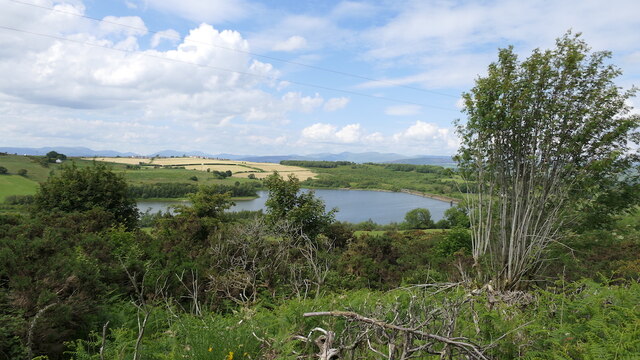
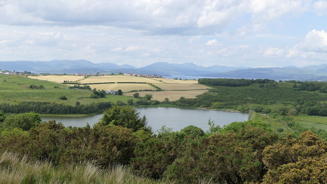
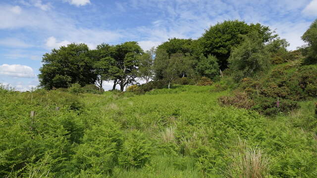
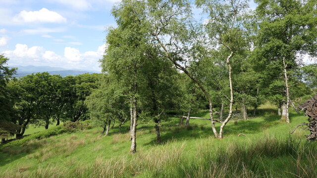
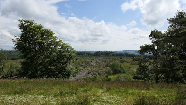
Aside from its historical significance, Chapel Hill also offers a tranquil and scenic environment. The hill is covered in lush greenery, making it a popular spot for nature enthusiasts and walkers. The surrounding area features a diverse range of flora and fauna, further adding to the natural beauty of the hill.
Visitors to Chapel Hill can enjoy a leisurely stroll along the well-marked trails, taking in the panoramic views of the Renfrewshire countryside. On a clear day, one can even catch a glimpse of the nearby Clyde Muirshiel Regional Park, which is known for its stunning landscapes and wildlife.
In conclusion, Chapel Hill in Renfrewshire is a small but historically significant hill that offers visitors a chance to explore its ruins and enjoy the natural beauty of the surrounding area. With its accessible trails and panoramic views, it is a must-visit destination for nature lovers and history enthusiasts alike.
If you have any feedback on the listing, please let us know in the comments section below.
Chapel Hill Images
Images are sourced within 2km of 55.922262/-4.6167389 or Grid Reference NS3673. Thanks to Geograph Open Source API. All images are credited.


Chapel Hill is located at Grid Ref: NS3673 (Lat: 55.922262, Lng: -4.6167389)
Unitary Authority: Renfrewshire
Police Authority: Renfrewshire and Inverclyde
What 3 Words
///storms.unsecured.infringe. Near Kilmacolm, Inverclyde
Nearby Locations
Related Wikis

Finlaystone House
Finlaystone House is a mansion and estate in the Inverclyde council area and historic county of Renfrewshire. It lies near the southern bank of the Firth...

Port Glasgow F.C.
Port Glasgow Junior Football Club is a Scottish football club, based in the town of Port Glasgow, Inverclyde. == History == Nicknamed the Undertakers...

Langbank railway station
Langbank railway station serves the village of Langbank in Renfrewshire, Scotland. The station is on the Inverclyde Line, 16 miles (26 km) west of Glasgow...

Langbank
Langbank is a village on the south bank of the River Clyde in Renfrewshire, Scotland. It is 9.3 miles/15 km northwest from Paisley (Renfrewshire) and 3...
Nearby Amenities
Located within 500m of 55.922262,-4.6167389Have you been to Chapel Hill?
Leave your review of Chapel Hill below (or comments, questions and feedback).