Black Hill

Hill, Mountain in Wigtownshire

Scotland

Black Hill

Clear felled forest Near Culmalzie.
Clear felled forest Credit: Russel Wills

Black Hill is a prominent hill located in Wigtownshire, a historic county in southwest Scotland. Rising to an elevation of approximately 278 meters (912 feet), it is classified as a hill rather than a mountain. The hill is situated near the village of Kirkcowan, about 8 kilometers (5 miles) northeast of the town of Wigtown.

Black Hill boasts a distinctive appearance with its dark-colored rock formations, which give it its name. The hill is composed mainly of granite and is known for its steep and rugged slopes, making it a popular destination for hikers and outdoor enthusiasts. From the summit, visitors are rewarded with breathtaking panoramic views of the surrounding countryside, including the rolling hills and picturesque farmland of Wigtownshire.

The hill is a haven for wildlife, with various species thriving in its diverse habitats. Visitors may encounter birds such as red grouse, skylarks, and kestrels, as well as mammals like rabbits and hares. The surrounding area is also home to several plant species, including heather and gorse.

Black Hill is easily accessible via well-maintained footpaths, making it an enjoyable hiking experience for individuals of different fitness levels. It is an ideal location for a day trip or an afternoon walk, allowing visitors to immerse themselves in the natural beauty of Wigtownshire and enjoy the tranquility of the Scottish countryside.

If you have any feedback on the listing, please let us know in the comments section below.
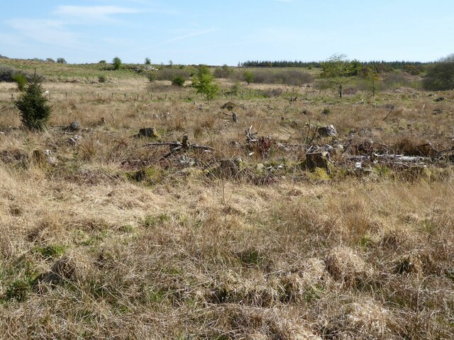
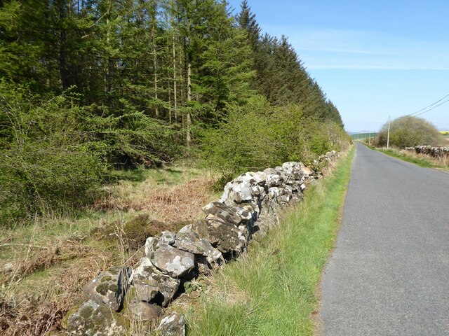
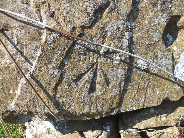
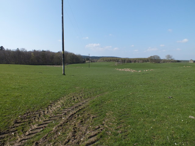
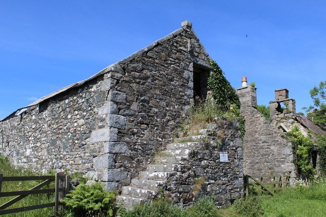
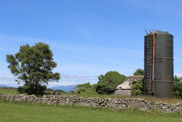
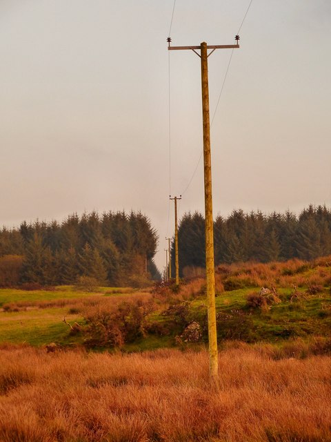
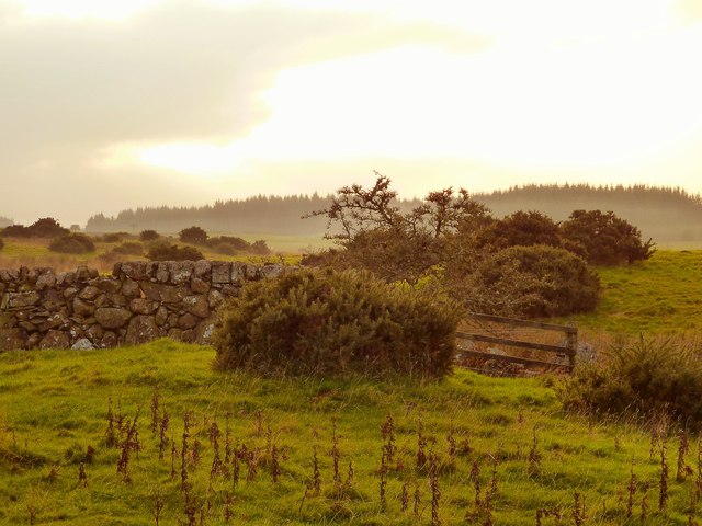
Black Hill Images

Images are sourced within 2km of 54.831492/-4.5539342 or Grid Reference NX3651. Thanks to Geograph Open Source API. All images are credited.

Clear felled forest Near Culmalzie.
Clear felled forest
Near Culmalzie.
Approaching Culmalzie  In The Machars.
Approaching Culmalzie
In The Machars.
Cancelled Benchmark A cancelled Ordnance Survey cut mark in a wall near Airriequhillart Farm.
Cancelled Benchmark
A cancelled Ordnance Survey cut mark in a wall near Airriequhillart Farm.
Power Line Across the fields near Airriequhillart Farm.
Power Line
Across the fields near Airriequhillart Farm.
Rush Hour! It was such a lovely day the farmer has decided to take his cows and calves for a walk along the B7005 passing Culmalzie Cottage.
Rush Hour!
It was such a lovely day the farmer has decided to take his cows and calves for a walk along the B7005 passing Culmalzie Cottage.
Derelict farm buildings at Chilcarroch
Chilcarroch
Chilcarroch
Capenoch Farm track leading across to the moorland to the north west of the farm. Much of the land in this area is arable.
Capenoch
Farm track leading across to the moorland to the north west of the farm. Much of the land in this area is arable.
Capenoch View north from the farm towards Doon Wood centre of picture.
Capenoch
View north from the farm towards Doon Wood centre of picture.
Track from North Kildarroch View across towards Carseduchan.
Track from North Kildarroch
View across towards Carseduchan.
Track from Faldarroch This track across a peat bog constructed just over 12 months ago <a href="https://www.geograph.org.uk/photo/1947828">NX3750 : Constructing farm track</a> now enables access to these fields by Kildarroch Moor and Craigdarroch. It was still pretty boggy when I visited on foot.
Track from Faldarroch
This track across a peat bog constructed just over 12 months ago NX3750 : Constructing farm track now enables access to these fields by Kildarroch Moor and Craigdarroch. It was still pretty boggy when I visited on foot.
Track from Faldarroch View across open fields towards Craigdarroch.
Track from Faldarroch
View across open fields towards Craigdarroch.
Track from Faldarroch As the sun drops down the mist starts to roll in as the temperature drops by this track near Faldarroch.
Track from Faldarroch
As the sun drops down the mist starts to roll in as the temperature drops by this track near Faldarroch.
Track from Faldarroch As I was walking back along this track late afternoon the sun hid behind cloud cover for a few minutes allowing a rare opportunity to shoot this shot into the sun without the usual flare effect. The temperature was starting to drop quite quickly and the trees ahead were becoming covered in the advancing mists.
Track from Faldarroch
As I was walking back along this track late afternoon the sun hid behind cloud cover for a few minutes allowing a rare opportunity to shoot this shot into the sun without the usual flare effect. The temperature was starting to drop quite quickly and the trees ahead were becoming covered in the advancing mists.
Track from Faldarroch View along this track as it runs back down towards Faldarroch.
Track from Faldarroch
View along this track as it runs back down towards Faldarroch.
Track from Faldarroch Time to go home as the sun drops and the mist rolls in.
Track from Faldarroch
Time to go home as the sun drops and the mist rolls in.
Airriequhillart View across this rough grazing land to a fire break in the forest.
Airriequhillart
View across this rough grazing land to a fire break in the forest.
Airriequhillart View across to the Flow of Airriequhillart on the horizon.
Airriequhillart
View across to the Flow of Airriequhillart on the horizon.
Show me another place!

Black Hill is located at Grid Ref: NX3651 (Lat: 54.831492, Lng: -4.5539342)

Unitary Authority: Dumfries and Galloway

Police Authority: Dumfries and Galloway

What 3 Words

///hooked.head.increases. Near Whithorn, Dumfries & Galloway

Related Wikis

Mochrum

Mochrum () is a coastal civil and Church of Scotland parish situated to the east of Luce Bay on the Machars peninsula and 8 miles (13 km) southwest of...

Whauphill railway station

Whauphill (NX 40462 49887) was a railway station on the Wigtownshire Railway branch line, from Newton Stewart to Whithorn, of the Portpatrick and Wigtownshire...

Elrig

Elrig (Scottish Gaelic: An Eileirg, meaning "the deer run") is a clachan or hamlet in the historical county of Wigtownshire in Dumfries and Galloway...

Torhouse

The Standing Stones of Torhouse (also Torhousekie) are a stone circle of nineteen granite boulders on the land of Torhouse, three miles west of Wigtown...

Machars

The Machars (Scottish Gaelic: Machair Ghallghaidhealaibh) is a peninsula in the historical county of Wigtownshire in Galloway in the south-west of Scotland...

Whauphill

Whauphill is a small village located in the historical county of Wigtownshire in the Machars, Dumfries and Galloway, Scotland.Whauphill is a hub that supports...

Kirkinner railway station

Kirkinner was a railway station on the Wigtownshire Railway branch line, from Newton Stewart to Whithorn, of the Portpatrick and Wigtownshire Joint Railway...

Mochrum Loch

Mochrum Loch is a large, irregular shaped, shallow, freshwater loch in Dumfries and Galloway, in the Southern Uplands of south-west Scotland. It lies approximately...

Have you been to Black Hill?

Leave your review of Black Hill below (or comments, questions and feedback).