Black Hill

Hill, Mountain in Wigtownshire

Scotland

Black Hill

Unnamed ruin Near High Glasnick.
Unnamed ruin Credit: Russel Wills

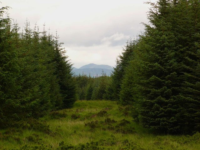
Black Hill is a prominent hill located in Wigtownshire, Scotland. Standing at an elevation of 241 meters (791 feet), it offers panoramic views of the surrounding countryside and coastline. The hill is a popular destination for hikers and outdoor enthusiasts seeking a challenging climb and stunning vistas.

The terrain of Black Hill is rugged and rocky, with heather-covered slopes and outcroppings of granite. The hill is home to a variety of wildlife, including red deer, grouse, and various bird species. Visitors may also catch a glimpse of the rare red kite soaring overhead.

The summit of Black Hill is marked by a cairn, which serves as a focal point for hikers reaching the top. On a clear day, it is possible to see as far as the Isle of Man and Ireland from this vantage point. The hill is easily accessible from the nearby town of Wigtown, making it a popular destination for day trips and outdoor adventures.

Overall, Black Hill is a must-visit destination for those looking to experience the natural beauty and rugged landscapes of Wigtownshire.

If you have any feedback on the listing, please let us know in the comments section below.
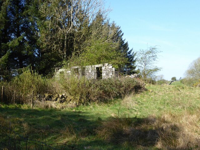
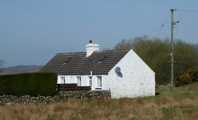
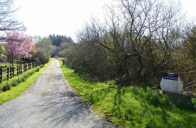
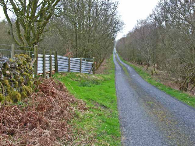
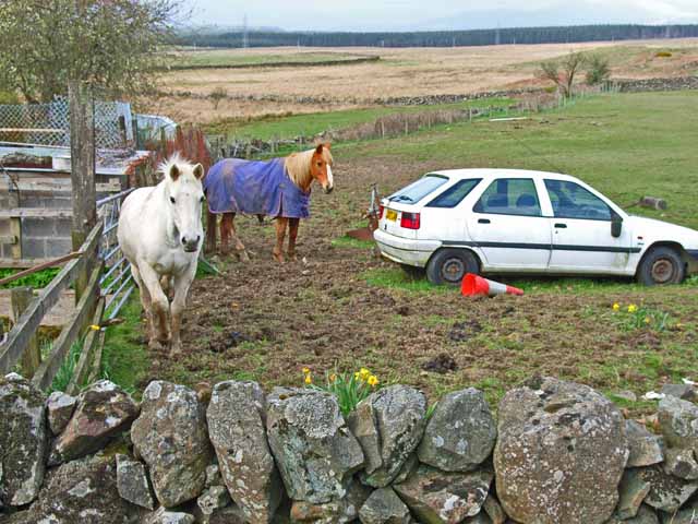
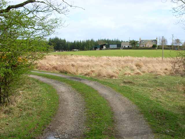
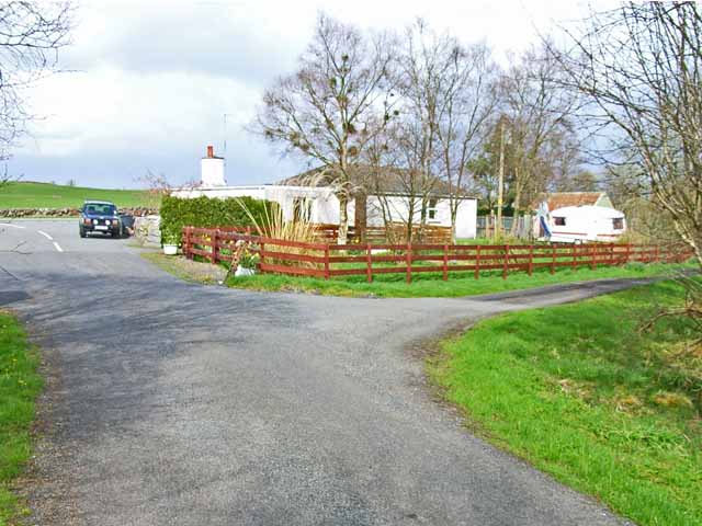
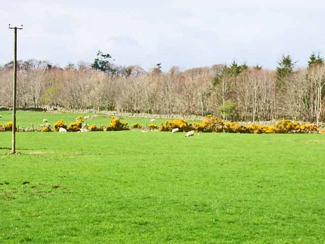
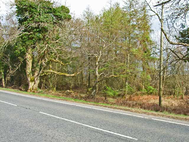
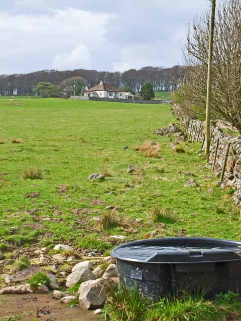
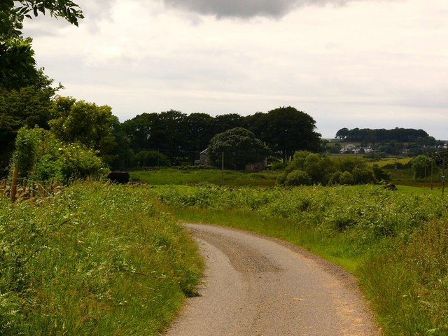
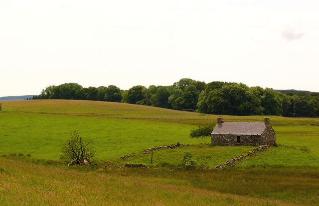
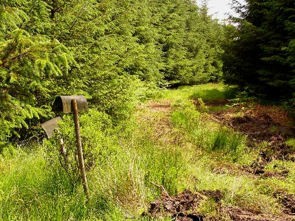
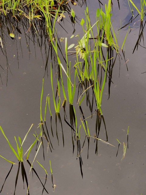
Black Hill Images

Images are sourced within 2km of 54.933202/-4.5614098 or Grid Reference NX3562. Thanks to Geograph Open Source API. All images are credited.

Unnamed ruin Near High Glasnick.
Unnamed ruin
Near High Glasnick.
Low Barskeoch On the road to Newton Stewart.
Low Barskeoch
On the road to Newton Stewart.
Track to Lurneoch With cherry blossom.
Track to Lurneoch
With cherry blossom.
Old Pack Horse bridge over the River Bladnoch This bridge lies on the course of the old Military  Road, built in the 18th century to enable rapid transport of troops to Ireland via Portpatrick. Curiously, one arch remains, covered in gorse bushes; whilst the abutment on the opposite bank has been reduced to rubble.
Old Pack Horse bridge over the River Bladnoch
This bridge lies on the course of the old Military Road, built in the 18th century to enable rapid transport of troops to Ireland via Portpatrick. Curiously, one arch remains, covered in gorse bushes; whilst the abutment on the opposite bank has been reduced to rubble.
The road to Low Glasnick This long cul-de-sac lane runs south-westwards off the A75
The road to Low Glasnick
This long cul-de-sac lane runs south-westwards off the A75
Car and horse Seen at Glasnick Smithy Croft on the A75
Car and horse
Seen at Glasnick Smithy Croft on the A75
Lurneoch Off the A75
Lurneoch
Off the A75
"Crossings" This bungalow, appropriately named "Crossings" stands on what was presumably the site of an old crossing keeper's cottage. Towards the camera is the minor road to Low Glasnick. The farm road off to the right follows the line of the old Dumfries to Stranraer railway. Beyond the car is the A75.
"Crossings"
This bungalow, appropriately named "Crossings" stands on what was presumably the site of an old crossing keeper's cottage. Towards the camera is the minor road to Low Glasnick. The farm road off to the right follows the line of the old Dumfries to Stranraer railway. Beyond the car is the A75.
Field near Benfield Seen from the A75. Gorse (or furze) seems to be a major problem having invaded many of the fields in south-west Scotland
Field near Benfield
Seen from the A75. Gorse (or furze) seems to be a major problem having invaded many of the fields in south-west Scotland
River Bladnoch from the A75 The A75 has been realigned to cross the River Bladnoch on the line of the old Dumfries to Stranraer railway (closed in the 1960s)
River Bladnoch from the A75
The A75 has been realigned to cross the River Bladnoch on the line of the old Dumfries to Stranraer railway (closed in the 1960s)
Woodland alongside the A75 Although there is little trace to be seen now, the former Dumfries to Stranraer railway (closed in the 1960s) ran through this belt of woodland parallel to the A75.
Woodland alongside the A75
Although there is little trace to be seen now, the former Dumfries to Stranraer railway (closed in the 1960s) ran through this belt of woodland parallel to the A75.
Barskeoch Off the A75
Barskeoch
Off the A75
Low Glasnick Low Glasnick farmhouse (hiding behind a tree) looking towards Kirkcowan.
Low Glasnick
Low Glasnick farmhouse (hiding behind a tree) looking towards Kirkcowan.
Ruined cothouse near Low Glasnick
Killeal from Drumadug Looking to Killeal plantation and Drumdennal.
Killeal from Drumadug
Looking to Killeal plantation and Drumdennal.
Firebeaters and forest track I can't imagine these would be much use if a forest fire broke out in this mature wood!
Firebeaters and forest track
I can't imagine these would be much use if a forest fire broke out in this mature wood!
Firebreak The hill in view through the firebreak is Curleywee, in the Minnigaff Hills.
Firebreak
The hill in view through the firebreak is Curleywee, in the Minnigaff Hills.
In the Killeal Burn
In the Killeal Burn
Show me another place!

Black Hill is located at Grid Ref: NX3562 (Lat: 54.933202, Lng: -4.5614098)

Unitary Authority: Dumfries and Galloway

Police Authority: Dumfries and Galloway

What 3 Words

///spider.lollipop.establish. Near Newton Stewart, Dumfries & Galloway

Nearby Locations

Black Hill

Related Wikis

Kirkcowan

Kirkcowan is an area about 15 miles in length, and from nearly two to nearly seven miles in breadth, comprising 30,580 acres, of which 7000 are arable...

Kirkcowan railway station

Kirkcowan railway station served the village of Kirkcowan, Dumfries and Galloway, Scotland from 1861 to 1965 on the Portpatrick and Wigtownshire Joint...

Newton Stewart Hospital

Newton Stewart Hospital is a health facility in Newton Stewart, Dumfries and Galloway, Scotland. It is managed by NHS Dumfries and Galloway. == History... ==

Newton Stewart F.C.

Newton Stewart Football Club are a football club from the town of Newton Stewart in the Dumfries and Galloway area of Scotland. Formed in 1880, as Newton...

Nearby Amenities

Located within 500m of 54.933202,-4.5614098
The Crossings
Naptan AtcoCode: 680000906333
Naptan Bearing: W
Naptan BusStopType: CUS
Naptan CommonName: The Crossings
Naptan Indicator: road end
Naptan Landmark: The Crossings
Naptan NaptanCode: 34235246
Naptan Notes: none
Naptan Street: A75
Naptan Verified: no
Source: naptan_import
Lat/Long: 54.9358522/-4.5613539
The Crossings
Naptan AtcoCode: 680000906444
Naptan Bearing: E
Naptan BusStopType: CUS
Naptan CommonName: The Crossings
Naptan Indicator: opp road end
Naptan Landmark: The Crossings
Naptan NaptanCode: 34235247
Naptan Notes: none
Naptan Street: A75
Naptan Verified: no
Source: naptan_import
Lat/Long: 54.935936/-4.5612188
Power: pole
Lat/Long: 54.9294069/-4.5627633
Power: pole
Lat/Long: 54.9298606/-4.5613683
Power: pole
Lat/Long: 54.9301561/-4.5604797
Power: pole
Lat/Long: 54.9307603/-4.5585647
Power: pole
Lat/Long: 54.9312474/-4.5570553
Power: pole
Lat/Long: 54.9317134/-4.5556195
Power: pole
Lat/Long: 54.9316699/-4.5569699
The data included in this document is from www.openstreetmap.org. The data is made available under ODbL.

Have you been to Black Hill?

Leave your review of Black Hill below (or comments, questions and feedback).