Beinn Chaorach
Hill, Mountain in Perthshire
Scotland
Beinn Chaorach

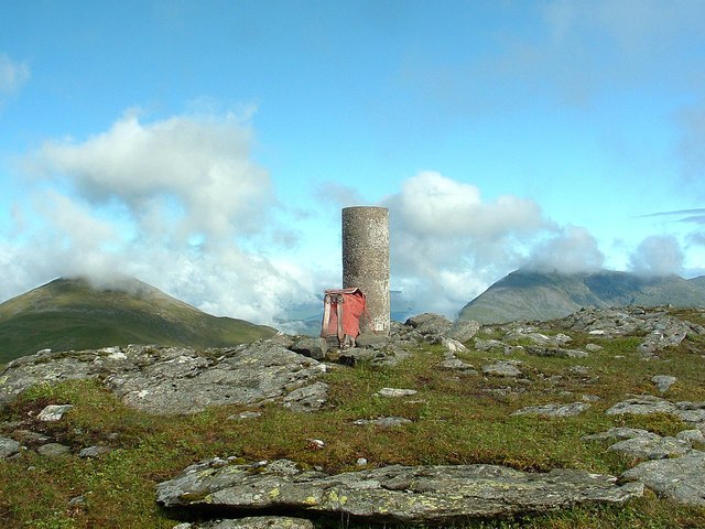
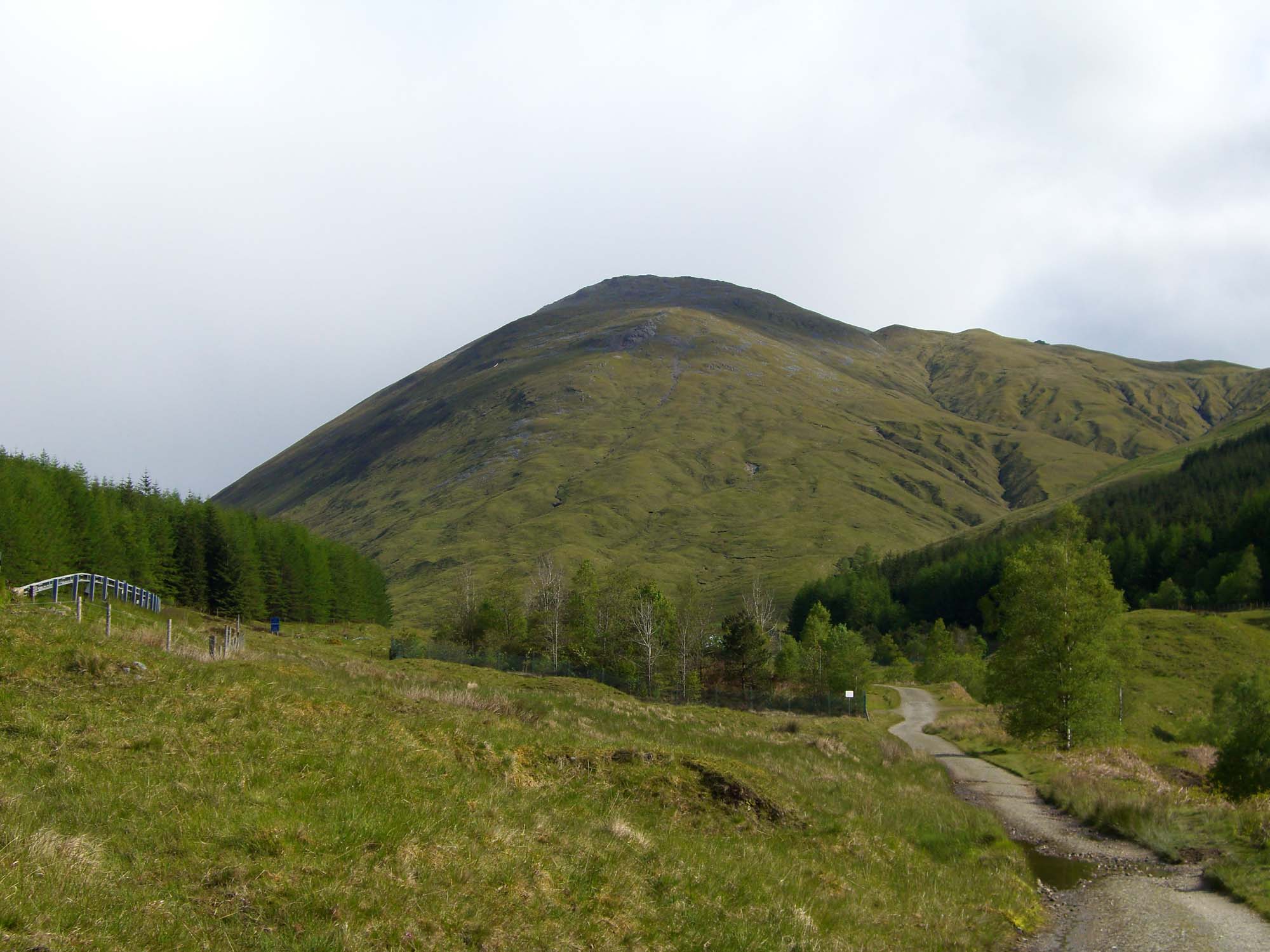
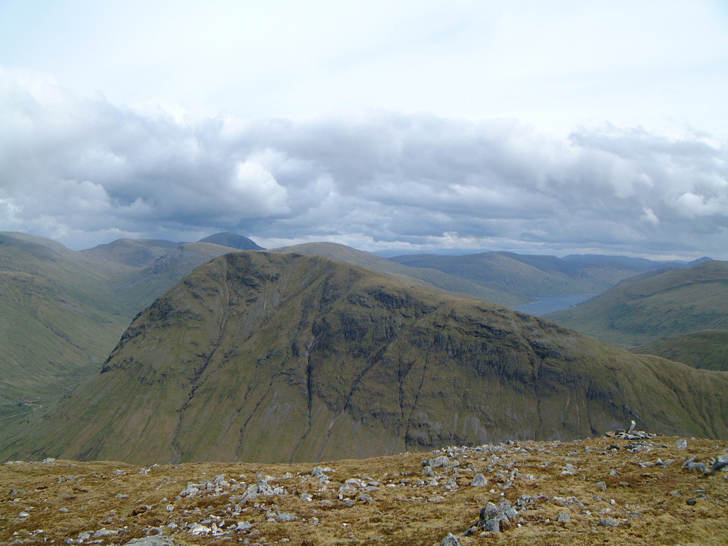
Beinn Chaorach is a hill located in Perthshire, Scotland. It is part of the Loch Lomond and The Trossachs National Park and is situated near the village of Crianlarich. The hill reaches a height of 713 meters (2,339 feet) and offers stunning panoramic views of the surrounding countryside.
Beinn Chaorach is a popular destination for hikers and outdoor enthusiasts due to its relatively easy accessibility and rewarding views from the summit. The hill is known for its diverse landscape, with heather-covered moors, rocky outcrops, and lush green valleys. The ascent to the summit can be challenging in parts, but the effort is well worth it for the breathtaking vistas of the surrounding mountains and glens.
Wildlife is abundant on Beinn Chaorach, with the chance to spot red deer, mountain hares, and various bird species along the way. The hill is also home to a variety of plant life, including rare alpine species that thrive in the harsh mountain environment.
Overall, Beinn Chaorach is a must-visit destination for those seeking a memorable outdoor adventure in the stunning Perthshire countryside.
If you have any feedback on the listing, please let us know in the comments section below.
Beinn Chaorach Images
Images are sourced within 2km of 56.458887/-4.6649579 or Grid Reference NN3532. Thanks to Geograph Open Source API. All images are credited.


Beinn Chaorach is located at Grid Ref: NN3532 (Lat: 56.458887, Lng: -4.6649579)
Unitary Authority: Stirling
Police Authority: Forth Valley
What 3 Words
///stunning.builds.nametag. Near Tyndrum, Stirling
Nearby Locations
Related Wikis
Beinn Odhar
Beinn Odhar is a Scottish mountain situated at the northern extremity of the Loch Lomond and the Trossachs National Park. It stands four km (2.5 mi) north...

Beinn Challuim
Beinn Challuim (English: Ben Challum) is a mountain in the Breadalbane region of the Scottish Highlands. It is east of the village of Tyndrum, in the Forest...
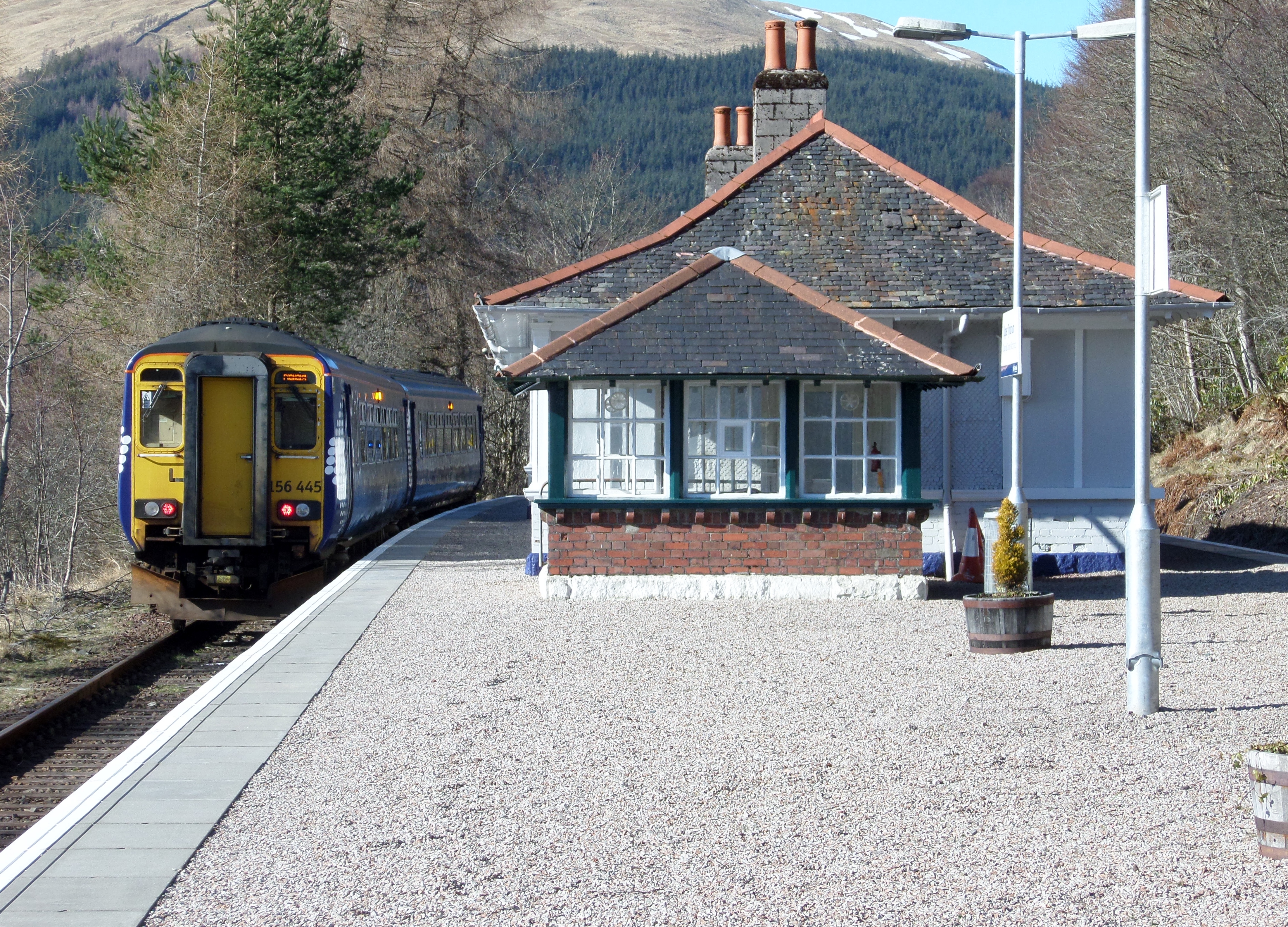
Upper Tyndrum railway station
Upper Tyndrum railway station is one of two railway stations serving the small village of Tyndrum in Scotland. It is on the Fort William route of the scenic...
Beinn a' Chaisteil
Beinn a' Chaisteil is a mountain in the southern Highlands of Scotland, it is located 6.25 km north of Tyndrum on the border of Perth and Kinross and Argyll...
Nearby Amenities
Located within 500m of 56.458887,-4.6649579Have you been to Beinn Chaorach?
Leave your review of Beinn Chaorach below (or comments, questions and feedback).