Auchness Hill

Hill, Mountain in Wigtownshire

Scotland

Auchness Hill

Old milestone Another of the Wigtownshire style milestones that has had vegetation cleared from around it and a new coat of paint with the work done by a Milestone Society member.  The G is for Glen Luce with W (for Wigtown), an arrow pointing right and 5 on the left hand face.
Old milestone Credit: Jacqueline Crowther

Auchness Hill is a prominent hill located in the region of Wigtownshire, which is situated in the western part of Dumfries and Galloway, Scotland. Rising to an elevation of approximately 355 meters (1164 feet), Auchness Hill is a notable feature in the landscape of the area, offering breathtaking views of the surrounding countryside.

The hill is characterized by its gently sloping sides, covered in a patchwork of green pastures and heather, which add to its natural beauty. Its summit is relatively flat, providing a perfect vantage point for visitors to enjoy panoramic vistas of the nearby towns and villages, as well as the picturesque coastline along the Irish Sea.

Auchness Hill is a popular destination for outdoor enthusiasts, offering various recreational activities such as hiking, walking, and birdwatching. The hill is home to a diverse range of flora and fauna, including heather, gorse, and various species of birds, making it an ideal spot for nature lovers.

Access to Auchness Hill is relatively easy, with several footpaths and trails leading to the summit. The surrounding area is also well-served by public transportation, making it accessible to both local residents and tourists.

Whether one is seeking a challenging hike or a peaceful stroll, Auchness Hill provides a tranquil and scenic setting for all to enjoy. Its natural beauty and stunning views make it a must-visit destination for anyone exploring the Wigtownshire region in Scotland.

If you have any feedback on the listing, please let us know in the comments section below.

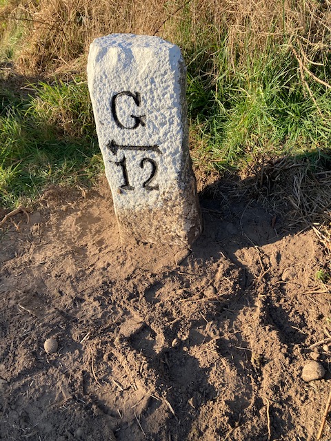
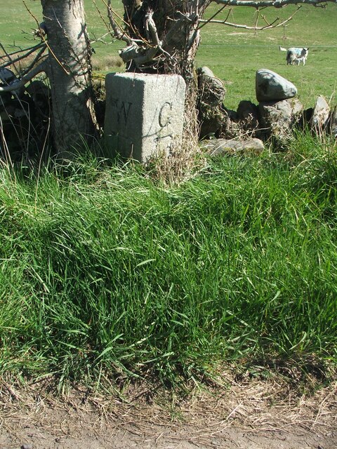
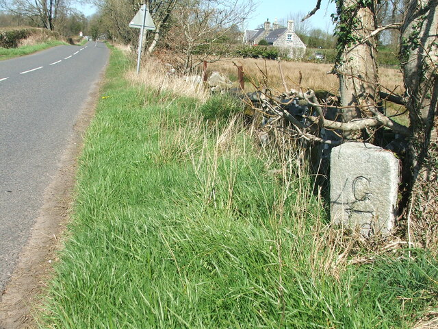
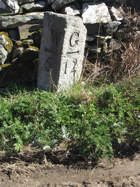
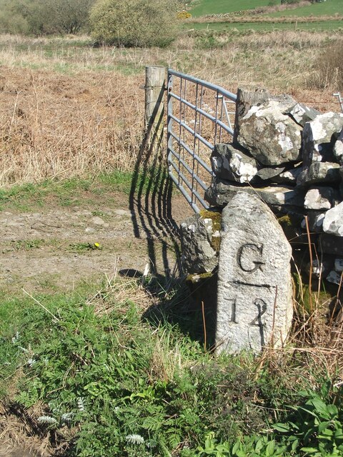
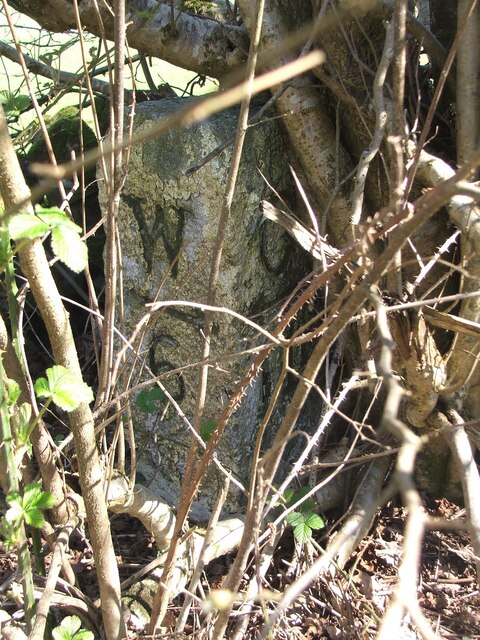
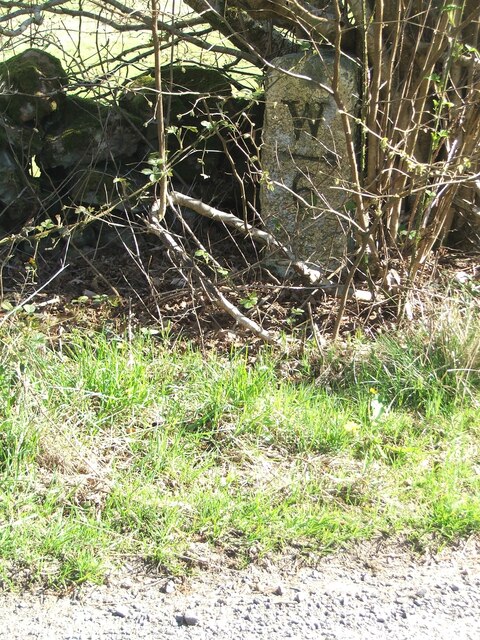
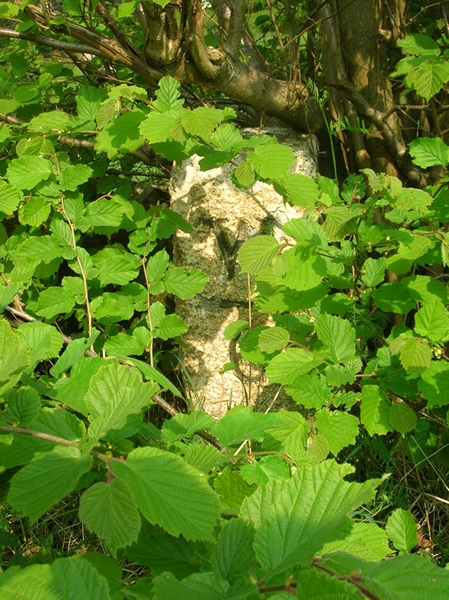
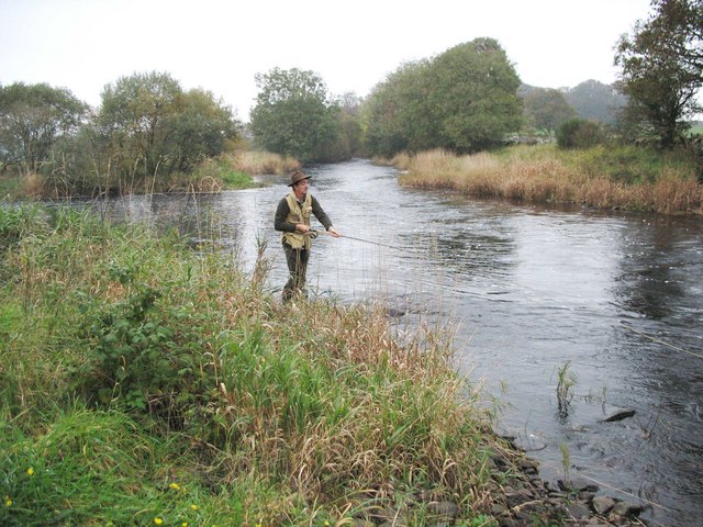
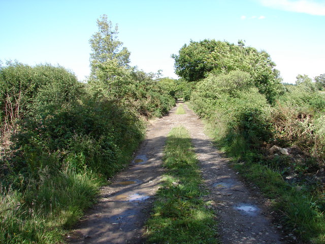
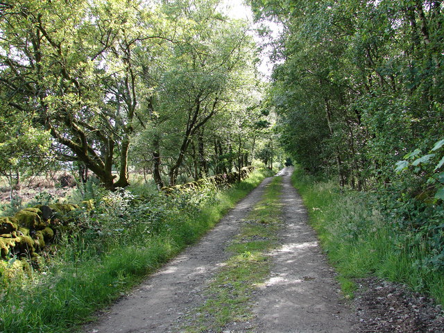
Auchness Hill Images

Images are sourced within 2km of 54.894667/-4.564265 or Grid Reference NX3558. Thanks to Geograph Open Source API. All images are credited.

Old milestone Another of the Wigtownshire style milestones that has had vegetation cleared from around it and a new coat of paint with the work done by a Milestone Society member.  The G is for Glen Luce with W (for Wigtown), an arrow pointing right and 5 on the left hand face.
Old milestone
Another of the Wigtownshire style milestones that has had vegetation cleared from around it and a new coat of paint with the work done by a Milestone Society member. The G is for Glen Luce with W (for Wigtown), an arrow pointing right and 5 on the left hand face.
Old milestone This milestone, 4 miles from Wigtown, can just be spotted beneath the double-trunked tree.   Glenluce is 13 miles to the north west.   Hopfully that isn't unlucky for this milestone.
Old milestone
This milestone, 4 miles from Wigtown, can just be spotted beneath the double-trunked tree. Glenluce is 13 miles to the north west. Hopfully that isn't unlucky for this milestone.
Old milestone The milestone is about 100m south east of Duddingstone Lodge with Grange of Bladnoch just out of sight down the dip in the road.
Old milestone
The milestone is about 100m south east of Duddingstone Lodge with Grange of Bladnoch just out of sight down the dip in the road.
Old milestone This is the milestone on the B733 just north of the B7052 junction.   The previous photograph   <a href="https://www.geograph.org.uk/photo/7447528">NX3558 : Old milestone</a> was wrongly identified and is the milestone on the A747, 2 miles north of Port William.
Old milestone
This is the milestone on the B733 just north of the B7052 junction. The previous photograph NX3558 : Old milestone was wrongly identified and is the milestone on the A747, 2 miles north of Port William.
Old milestone Not much has changed since 2008.  The field gate is the same and the lichen encrusted wall still survives.   The mason didn't bother too much about the top and back of this milestone.
Old milestone
Not much has changed since 2008. The field gate is the same and the lichen encrusted wall still survives. The mason didn't bother too much about the top and back of this milestone.
Old milestone In May 2008 this milestone was almost hidden from view but using the milometer on my bike I knew just where to search.  In April 2023 not quite hidden.  It is just south of the Kirkchrist Lodge.   Glenluce still 11 miles away.
Old milestone
In May 2008 this milestone was almost hidden from view but using the milometer on my bike I knew just where to search. In April 2023 not quite hidden. It is just south of the Kirkchrist Lodge. Glenluce still 11 miles away.
Old milestone Another view of the milestone hidden under the bush/tree just south of Kirkchrist Lodge. G/arrow to left/11 on the unseen face.
Old milestone
Another view of the milestone hidden under the bush/tree just south of Kirkchrist Lodge. G/arrow to left/11 on the unseen face.
Old Milestone by the B733, Penninghame parish Stonepost by the B733, in parish of Penninghame (Wigtownshire District), 100m to Duddingstone Lodge, hidden under small tree.

Inscription reads:-
: W / {arrow->} / 4 : : G / {<-arrow} / 13 :
(To Wigtown and Glenluce)

Surveyed

Milestone Society National ID: DG_WGGL04
Old Milestone by the B733, Penninghame parish
Stonepost by the B733, in parish of Penninghame (Wigtownshire District), 100m to Duddingstone Lodge, hidden under small tree. Inscription reads:- : W / {arrow->} / 4 : : G / {<-arrow} / 13 : (To Wigtown and Glenluce) Surveyed Milestone Society National ID: DG_WGGL04
Old Milestone by the B733, northwest of Spittal Bridge Stone post by the B733, in parish of Kirkcowan (Wigtownshire District), North of junction with the B7052, near field gate.

Inscription reads:-
: W / {arrow-&amp;gt; / 5 : : G / {&amp;lt;-arrow} / 12 :
(To Wigtown and Glenluce)
 
Surveyed

Milestone Society National ID: DG_WGGL05
Old Milestone by the B733, northwest of Spittal Bridge
Stone post by the B733, in parish of Kirkcowan (Wigtownshire District), North of junction with the B7052, near field gate. Inscription reads:- : W / {arrow-> / 5 : : G / {<-arrow} / 12 : (To Wigtown and Glenluce) Surveyed Milestone Society National ID: DG_WGGL05
Old Milestone by the B733, south of Kirkchrist Lodge, Kirkcowan parish Stone post by the B733, in parish of Kirkcowan (Wigtownshire District), South of lodge to Kirkchrist House, hidden under hazel tree.

Inscription reads:-
: W / {arrow-&amp;gt;} / 6 : : G / {&amp;lt;-arrow} / 11 :
(To Wigtown and Glenluce) 

Surveyed

Milestone Society National ID: DG_WGGL06
Old Milestone by the B733, south of Kirkchrist Lodge, Kirkcowan parish
Stone post by the B733, in parish of Kirkcowan (Wigtownshire District), South of lodge to Kirkchrist House, hidden under hazel tree. Inscription reads:- : W / {arrow->} / 6 : : G / {<-arrow} / 11 : (To Wigtown and Glenluce) Surveyed Milestone Society National ID: DG_WGGL06
Salmon fishing at the Junction Pool of the Rivers Bladnoch and Tarf The R Tarf (from the left of picture) joins the larger R Bladnoch.
Salmon fishing at the Junction Pool of the Rivers Bladnoch and Tarf
The R Tarf (from the left of picture) joins the larger R Bladnoch.
Rush hour at the Holm Going in for the evening milking.
Rush hour at the Holm
Going in for the evening milking.
High Moor of Killiemore Track from Killiemore continues on for a while before being swallowed up by forestry on High Moor of Killiemore.
High Moor of Killiemore
Track from Killiemore continues on for a while before being swallowed up by forestry on High Moor of Killiemore.
High Moor of Killiemore Lane View SW along the High Moor of Killiemore to Killiemore track at the more accessible end of the route.
High Moor of Killiemore Lane
View SW along the High Moor of Killiemore to Killiemore track at the more accessible end of the route.
The Holm Also known as Holm Farm near to Kirkcowan. Although not clear from this picture the front of the building is not white but bright blue and you can see it for miles! I&amp;#039;ll have another go at a better picture next time I pass by.
The Holm
Also known as Holm Farm near to Kirkcowan. Although not clear from this picture the front of the building is not white but bright blue and you can see it for miles! I'll have another go at a better picture next time I pass by.
The Holm As promised &lt;a href=&quot;https://www.geograph.org.uk/photo/2105589&quot;&gt;NX3460 : The Holm&lt;/a&gt; a better picture of this farmhouse to show the bright blue front wall. Although it was overcast and chucking it down with rain the house always makes me smile when I pass by.
The Holm
As promised NX3460 : The Holm a better picture of this farmhouse to show the bright blue front wall. Although it was overcast and chucking it down with rain the house always makes me smile when I pass by.
Bladnoch at Spittal Bridge View of the River Bladnoch downstream taken from Spittal Bridge.
Bladnoch at Spittal Bridge
View of the River Bladnoch downstream taken from Spittal Bridge.
Bladnoch at Spittal Bridge View of the River Bladnoch upstream taken from Spittal Bridge.
Bladnoch at Spittal Bridge
View of the River Bladnoch upstream taken from Spittal Bridge.
Show me another place!

Auchness Hill is located at Grid Ref: NX3558 (Lat: 54.894667, Lng: -4.564265)

Unitary Authority: Dumfries and Galloway

Police Authority: Dumfries and Galloway

What 3 Words

///bottled.carriage.forensic. Near Newton Stewart, Dumfries & Galloway

Nearby Locations

Boat Hill Auchness Hill

Related Wikis

Torhouse

The Standing Stones of Torhouse (also Torhousekie) are a stone circle of nineteen granite boulders on the land of Torhouse, three miles west of Wigtown...

Kirkcowan

Kirkcowan is an area about 15 miles in length, and from nearly two to nearly seven miles in breadth, comprising 30,580 acres, of which 7000 are arable...

Kirkcowan railway station

Kirkcowan railway station served the village of Kirkcowan, Dumfries and Galloway, Scotland from 1861 to 1965 on the Portpatrick and Wigtownshire Joint...

Mains of Penninghame Platform railway station

Mains of Penninghame Platform railway station (NX410617) was a halt on the Wigtownshire Railway branch line, from Newton Stewart to Whithorn, of the Portpatrick...

Causeway End railway station

Causeway End (NX 42047 59602) or Causwayend was a railway station on the Wigtownshire Railway branch line, from Newton Stewart to Whithorn, of the Portpatrick...

Bladnoch Distillery and Visitor Centre

Bladnoch distillery is a single malt Scotch whisky distillery in south west Scotland. It is one of six remaining Lowland distilleries, located at Bladnoch...

Wigtown & Bladnoch F.C.

Wigtown & Bladnoch Football Club are a football club from the town of Wigtown in the Dumfries and Galloway area of Scotland, who play in the South of Scotland...

Newton Stewart Hospital

Newton Stewart Hospital is a health facility in Newton Stewart, Dumfries and Galloway, Scotland. It is managed by NHS Dumfries and Galloway. == History... ==

Nearby Amenities

Located within 500m of 54.894667,-4.564265
Boreland Mote
Heritage: yes
Historic: archaeological_site
Wikidata: Q56666521
Lat/Long: 54.8931215/-4.566367
Power: pole
Lat/Long: 54.8960394/-4.5684363
Power: pole
Lat/Long: 54.8957968/-4.5691689
Power: pole
Lat/Long: 54.8954196/-4.5703369
Power: pole
Lat/Long: 54.8950755/-4.5714109
Power: pole
Lat/Long: 54.8941981/-4.5715717
Power: pole
Lat/Long: 54.8976778/-4.56997
Power: pole
Lat/Long: 54.8972113/-4.5695329
Power: pole
Lat/Long: 54.8966084/-4.5689564
Power: pole
Lat/Long: 54.8954026/-4.5678476
Power: pole
Lat/Long: 54.8947048/-4.5671874
Power: pole
Lat/Long: 54.8943465/-4.5662133
Power: pole
Lat/Long: 54.8939655/-4.56513
Power: pole
Lat/Long: 54.8936486/-4.5642606
Power: pole
Lat/Long: 54.8933324/-4.5633775
Power: pole
Lat/Long: 54.8928812/-4.5621173
Power: pole
Lat/Long: 54.8924801/-4.5609782
Power: pole
Lat/Long: 54.8920069/-4.559681
Power: pole
Lat/Long: 54.8917849/-4.559065
Power: pole
Lat/Long: 54.8930604/-4.5640235
Power: pole
Lat/Long: 54.8927154/-4.5648766
Power: pole
Lat/Long: 54.892313/-4.5658879
Power: pole
Lat/Long: 54.8920189/-4.5665829
Power: pole
Lat/Long: 54.8916887/-4.5663482
Power: pole
Lat/Long: 54.8923451/-4.5674756
Power: pole
Lat/Long: 54.8926018/-4.5681521
The data included in this document is from www.openstreetmap.org. The data is made available under ODbL.

Have you been to Auchness Hill?

Leave your review of Auchness Hill below (or comments, questions and feedback).