Crook Hill

Hill, Mountain in Renfrewshire

Scotland

Crook Hill

Lochview Lodges Beechwood on the left, Oakwood on the right.
Lochview Lodges Credit: Richard Sutcliffe

Crook Hill is a prominent hill located in Renfrewshire, Scotland. It is part of the Clyde Muirshiel Regional Park and offers stunning panoramic views of the surrounding countryside. The hill stands at an elevation of approximately 416 meters (1,365 feet) above sea level.

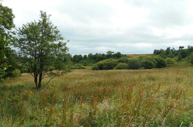
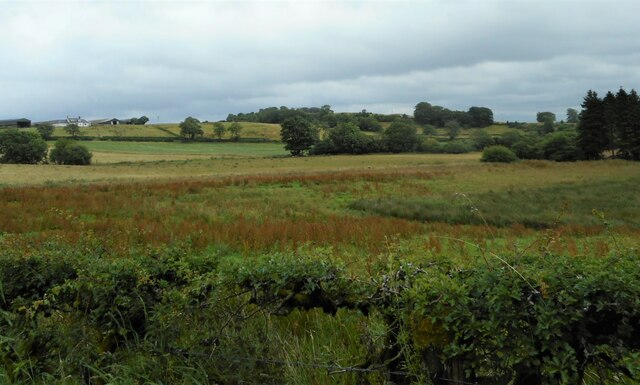
Crook Hill is a popular destination for hikers and outdoor enthusiasts due to its challenging terrain and rewarding views. The hill is covered in heather and grass, with scattered rocks and boulders adding to its rugged beauty. There are several walking trails that lead to the summit, providing opportunities for visitors to explore the area and enjoy the natural surroundings.

At the top of Crook Hill, visitors can see across the Renfrewshire countryside, with views stretching out towards the Firth of Clyde and the distant mountains of the Highlands. On a clear day, it is possible to see as far as Arran and Ailsa Craig.

Overall, Crook Hill is a picturesque and peaceful place to visit, offering a chance to escape the hustle and bustle of everyday life and immerse oneself in the beauty of the Scottish countryside.

If you have any feedback on the listing, please let us know in the comments section below.

Crook Hill Images

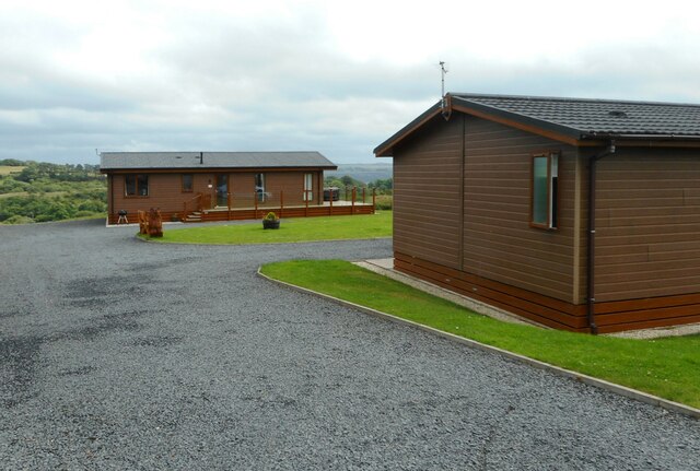
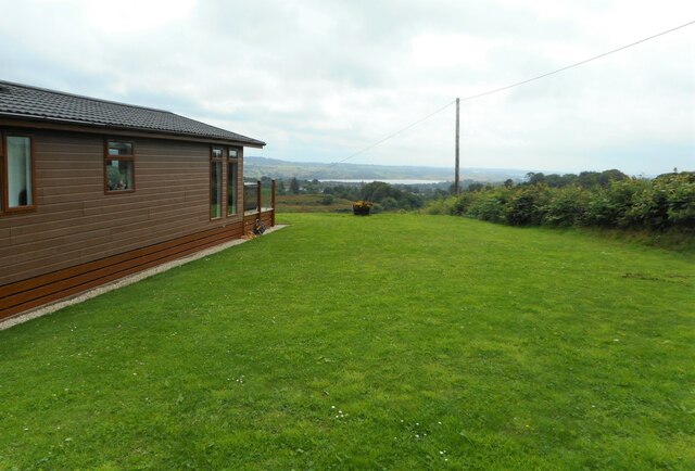
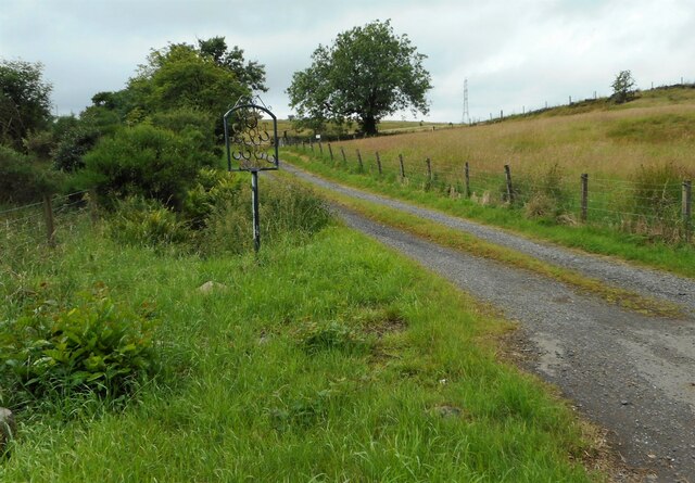
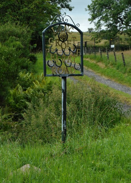
Images are sourced within 2km of 55.800485/-4.6278207 or Grid Reference NS3559. Thanks to Geograph Open Source API. All images are credited.

Lochview Lodges Beechwood on the left, Oakwood on the right.
Lochview Lodges
Beechwood on the left, Oakwood on the right.
Lochview Lodges Oakwood, one of two holiday lodges, and the view towards Castle Semple Loch in the distance.
Lochview Lodges
Oakwood, one of two holiday lodges, and the view towards Castle Semple Loch in the distance.
Road to Lang Croft With a name sign made using horseshoes.
Road to Lang Croft
With a name sign made using horseshoes.
Lang Croft sign Name sign for Lang Croft, made using horseshoes. It reads:

LANG
CROFT
PRIVATE
ROAD
Lang Croft sign
Name sign for Lang Croft, made using horseshoes. It reads: LANG CROFT PRIVATE ROAD
Rough grassland With lots of flowering dock plants.
Rough grassland
With lots of flowering dock plants.
Rough grassland With lots of flowering dock plants. The trees in the centre of the image follow the Kaim Burn. Sandieston Farm is top left.
Rough grassland
With lots of flowering dock plants. The trees in the centre of the image follow the Kaim Burn. Sandieston Farm is top left.
National Cycle Network Route 7 The ramp up to the route from the visitor centre at Castle Semple Loch, which is within the Clyde Muirshiel Regional Park.
National Cycle Network Route 7
The ramp up to the route from the visitor centre at Castle Semple Loch, which is within the Clyde Muirshiel Regional Park.
Castle Semple Visitor Centre A water sports complex on the banks of the loch which is within Clyde Muirshiel Regional Park.
Castle Semple Visitor Centre
A water sports complex on the banks of the loch which is within Clyde Muirshiel Regional Park.
Castle Semple Loch By the visitor centre where various craft can be rented.
Castle Semple Loch
By the visitor centre where various craft can be rented.
High Street, Lochwinnoch From the zebra crossing at the cross.
High Street, Lochwinnoch
From the zebra crossing at the cross.
Calder Street Runs from the cross at High Street towards the River Calder.
Calder Street
Runs from the cross at High Street towards the River Calder.
The Junction At the corner of High Street and Church Street.
The Junction
At the corner of High Street and Church Street.
Church Street, Lochwinnoch The tower of one of the two churches on the street is visible in this photo which was taken from High Street.
Church Street, Lochwinnoch
The tower of one of the two churches on the street is visible in this photo which was taken from High Street.
Lochwinnoch War Memorial Just off Church Street.
Lochwinnoch War Memorial
Just off Church Street.
Lochwinnoch War Memorial A Celtic cross in a picturesque setting near Church Street.
Lochwinnoch War Memorial
A Celtic cross in a picturesque setting near Church Street.
Church Street, Lochwinnoch Showing one of the two churches on the street and the former Struthers soft drinks offices. Struthers was once a big name in soft drinks in the west of Scotland.
Church Street, Lochwinnoch
Showing one of the two churches on the street and the former Struthers soft drinks offices. Struthers was once a big name in soft drinks in the west of Scotland.
Former Struthers office On Church Street. Struthers was once a big name in soft drinks in the west of Scotland.
Former Struthers office
On Church Street. Struthers was once a big name in soft drinks in the west of Scotland.
Calder United Free Church On Church Street, Lochwinnoch. One of two churches on the street.
Calder United Free Church
On Church Street, Lochwinnoch. One of two churches on the street.
Show me another place!

Crook Hill is located at Grid Ref: NS3559 (Lat: 55.800485, Lng: -4.6278207)

Unitary Authority: Renfrewshire

Police Authority: Renfrewshire and Inverclyde

What 3 Words

///melt.myths.unfolds. Near Lochwinnoch, Renfrewshire

Nearby Locations

Crook Hill

Related Wikis

St John's Kirk, Lochwinnoch

St John's Kirk, also known as St Winnock's Church and, colloquially, Auld Simon (Old Simon), is a former church building in Lochwinnoch, Renfrewshire,...

Castle Semple Rowing Club

Castle Semple Rowing Club is a rowing club on the Castle Semple Loch, based at Lochwinnoch, Renfrewshire, Central Lowlands, Scotland. The club is affiliated...

Clyde Muirshiel Regional Park

Clyde Muirshiel Regional Park is the collective name for areas of countryside set aside for conservation and recreation on the South Clyde estuary in Scotland...

Lochwinnoch (loop) railway station

Lochwinnoch railway station was a railway station serving the village of Lochwinnoch, Renfrewshire, Scotland. The station was part of the Dalry and North...

Nearby Amenities

Located within 500m of 55.800485,-4.6278207
Bus Stop
Lat/Long: 55.7977729/-4.6243759
Bus Stop
Lat/Long: 55.8006574/-4.6226612
Power: pole
Lat/Long: 55.8044368/-4.6299193
Power: pole
Lat/Long: 55.8044801/-4.6287589
Power: pole
Lat/Long: 55.8045117/-4.6275736
Power: pole
Lat/Long: 55.8043396/-4.6265382
Power: pole
Lat/Long: 55.8041418/-4.6254946
Power: pole
Lat/Long: 55.8039673/-4.6244488
Power: pole
Lat/Long: 55.8040083/-4.6293214
Power: pole
Lat/Long: 55.8035446/-4.6299005
Power: pole
Lat/Long: 55.8029756/-4.6305921
Power: pole
Lat/Long: 55.8023879/-4.6313233
Power: pole
Lat/Long: 55.8018996/-4.631917
Power: pole
Lat/Long: 55.8013224/-4.6326337
Power: pole
Lat/Long: 55.8008458/-4.6333211
Power: pole
Lat/Long: 55.8000871/-4.6341606
Power: pole
Lat/Long: 55.799854/-4.6348481
The data included in this document is from www.openstreetmap.org. The data is made available under ODbL.

Have you been to Crook Hill?

Leave your review of Crook Hill below (or comments, questions and feedback).