Black Hill of Knockgardner
Hill, Mountain in Ayrshire
Scotland
Black Hill of Knockgardner

Located in South Ayrshire, Scotland, Black Hill of Knockgardner is a prominent hill standing at an elevation of approximately 279 meters (915 feet) above sea level. This hill, also known as Knockgardner Hill, is situated within the beautiful landscape of the Carrick Hills, part of the larger Galloway Hills range. It is positioned about 4 miles northeast of Maybole and 8 miles east of Ayr.
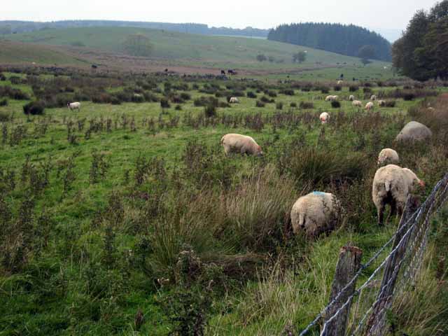
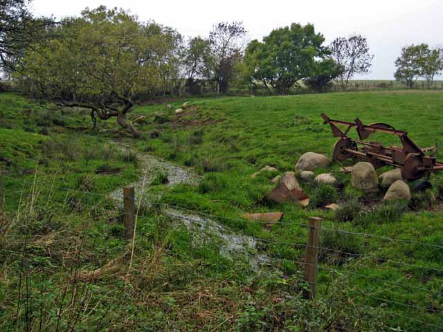
The Black Hill of Knockgardner is characterized by its distinctive dark-colored heather, giving it its name. The hill consists mainly of rough moorland, covered in patches of heather and grasses, with scattered granite outcrops adding to its rugged appearance. The summit offers stunning panoramic views of the surrounding countryside, including the nearby hills of Tairlaw, Windy Standard, and Cairn Table.
This hill is a popular destination for hikers and nature enthusiasts, offering a range of walking trails that cater to different levels of difficulty. The paths meander through the hill's diverse landscape, providing opportunities to appreciate the local flora and fauna. Birdwatchers often visit the area, as it is home to various avian species, including red grouse, peregrine falcons, and skylarks.
The Black Hill of Knockgardner is also steeped in history, with several ancient sites nearby, such as the remains of the Knockgardner Fort. This Iron Age hillfort, located on the southeastern slopes of the hill, provides a glimpse into the region's rich cultural heritage.
Overall, the Black Hill of Knockgardner offers a picturesque and tranquil setting, attracting both nature lovers and history enthusiasts alike.
If you have any feedback on the listing, please let us know in the comments section below.
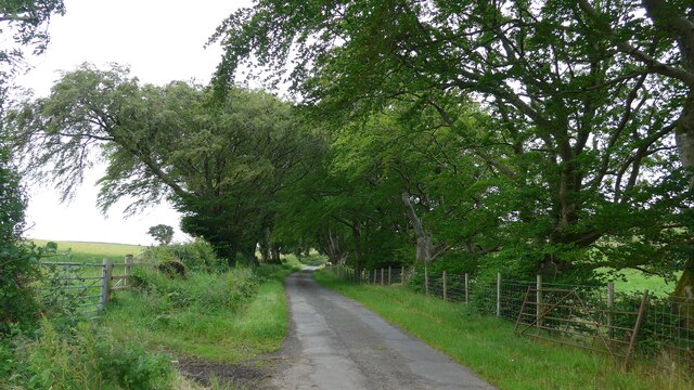
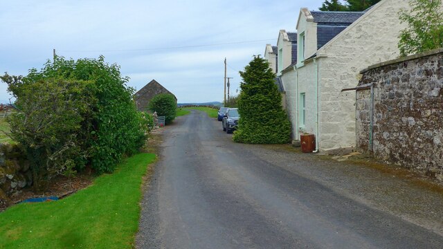
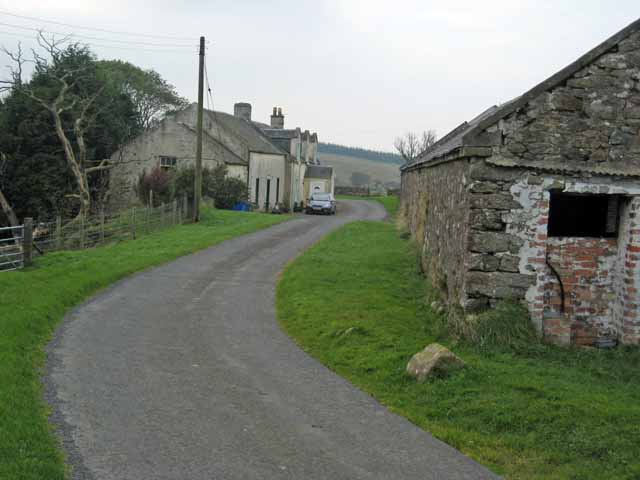
Black Hill of Knockgardner Images
Images are sourced within 2km of 55.291655/-4.5969533 or Grid Reference NS3502. Thanks to Geograph Open Source API. All images are credited.


Black Hill of Knockgardner is located at Grid Ref: NS3502 (Lat: 55.291655, Lng: -4.5969533)
Unitary Authority: South Ayrshire
Police Authority: Ayrshire
What 3 Words
///secondly.dislodge.profiled. Near Maybole, South Ayrshire
Nearby Locations
Related Wikis

Ayr, Carrick and Cumnock (UK Parliament constituency)
Ayr, Carrick and Cumnock is a county constituency represented in the House of Commons of the Parliament of the United Kingdom. It was created for the 2005...

Blairquhan Castle
Blairquhan ( blair-WHAHN, Scots: Blairwhan) is a Regency era castle near Maybole in South Ayrshire, Scotland. It was the historic home of the Hunter-Blair...

Straiton
Straiton is a village on the River Girvan in South Ayrshire in Scotland. It lies in the hills between Kirkmichael, Dalmellington, Crosshill, and Maybole...

Crosshill, South Ayrshire
Crosshill is a small village in South Ayrshire, Scotland.Crosshill has a primary school. == References ==
Nearby Amenities
Located within 500m of 55.291655,-4.5969533Have you been to Black Hill of Knockgardner?
Leave your review of Black Hill of Knockgardner below (or comments, questions and feedback).