Mullach Chonachair
Hill, Mountain in Ross-shire
Scotland
Mullach Chonachair
Mullach Chonachair is a prominent hill located in Ross-shire, Scotland. Standing at an impressive height of 990 meters (3,248 feet), it is classified as a Munro, which means it is one of the many mountains in Scotland that exceeds 3,000 feet. Mullach Chonachair is part of the Ben Lawers mountain range, which stretches across the southern part of the Scottish Highlands.
The hill is characterized by its steep slopes and rocky terrain, offering a challenging yet rewarding climb for experienced hikers and mountaineers. The ascent to the summit involves traversing through a mixture of grassy slopes, scree, and boulder fields, providing a varied and exciting climb. The summit offers breathtaking panoramic views of the surrounding landscape, including nearby Lochan nan Cat and Lochan na Lairige.
Mullach Chonachair is also known for its rich biodiversity. The lower slopes are covered in heather and grasses, while the higher elevations give way to hardy alpine plants. The hill is home to various species of birds, such as golden eagles and ptarmigans, as well as mountain hares and red deer.
Access to Mullach Chonachair can be gained from several starting points, including the village of Killin or the Lawers Dam car park. It is advisable to check weather conditions and ensure appropriate equipment and clothing are worn before embarking on the climb. Overall, Mullach Chonachair offers a challenging and rewarding experience for outdoor enthusiasts, with its stunning views and diverse wildlife making it a must-visit destination for those exploring the Scottish Highlands.
If you have any feedback on the listing, please let us know in the comments section below.
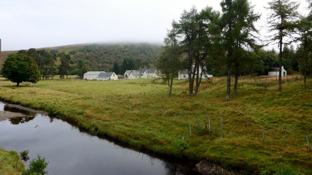
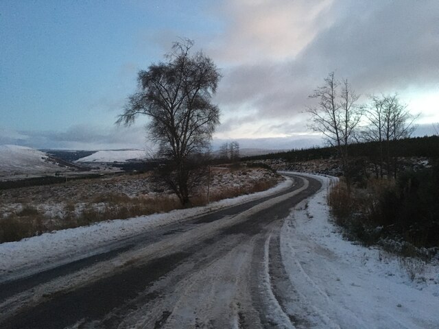
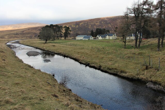
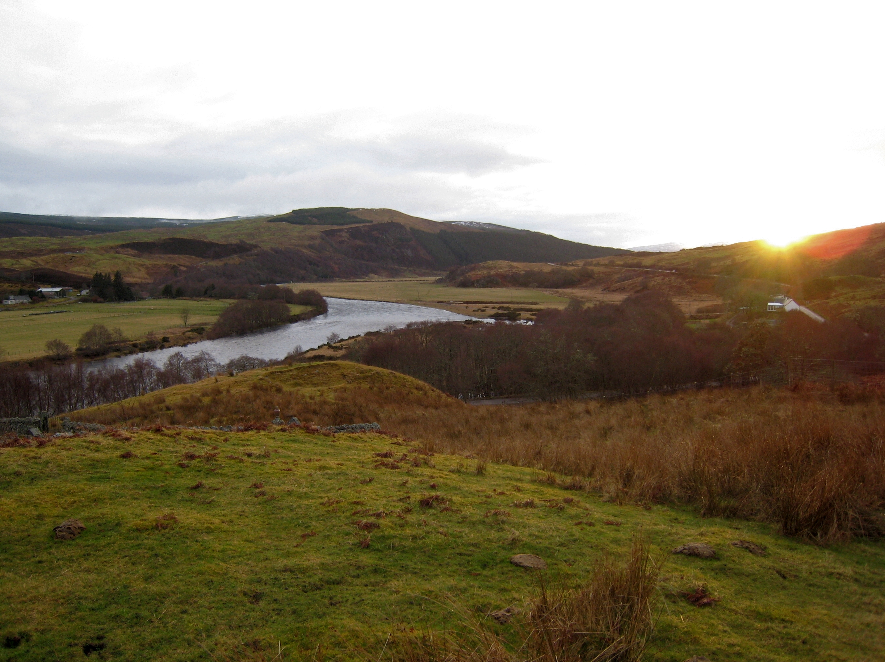
Mullach Chonachair Images
Images are sourced within 2km of 57.978638/-4.8012672 or Grid Reference NC3402. Thanks to Geograph Open Source API. All images are credited.


Mullach Chonachair is located at Grid Ref: NC3402 (Lat: 57.978638, Lng: -4.8012672)
Unitary Authority: Highland
Police Authority: Highlands and Islands
What 3 Words
///sunblock.both.sofas. Near Inchnadamph, Highland
Nearby Locations
Related Wikis

Lubcroy
Lubcroy is a lodge in Glen Oykel, in Sutherland, Scottish Highlands and is in the Scottish council area of Highland.The A837 road passes through Lubcroy...
River Oykel
The River Oykel (Scottish Gaelic: Òiceall or Abhainn Òiceall, pronounced [ˈa.ɪɲ ˈɔːçkʲəl̪ˠ]) is a major river in northern Scotland that is famous for its...
Battle of Tuiteam Tarbhach
The Battle of Tuiteam Tarbhach (Scottish Gaelic: "plentiful slaughter"; also known as Tuttim–Tarwach, Tuttim–Turwigh, Tuttim–Tarwigh or Tutim Tarvach)...
Nearby Amenities
Located within 500m of 57.978638,-4.8012672Have you been to Mullach Chonachair?
Leave your review of Mullach Chonachair below (or comments, questions and feedback).