Bridgend Hill
Hill, Mountain in Renfrewshire
Scotland
Bridgend Hill

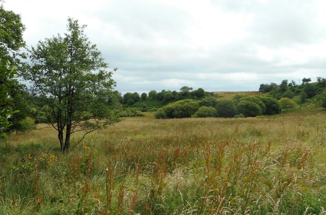
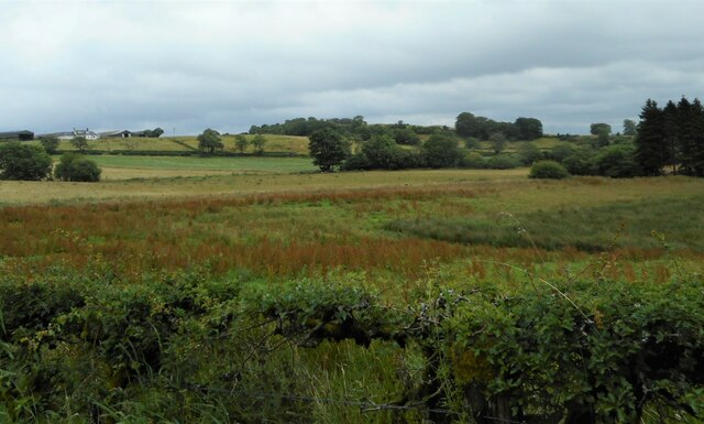
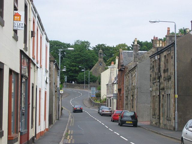
Bridgend Hill is a prominent geographical feature located in Renfrewshire, Scotland. Situated near the town of Bridge of Weir, it is a modestly sized hill that forms part of the scenic landscape of the area. With an elevation of approximately 113 meters (371 feet), it offers captivating panoramic views of the surrounding countryside.
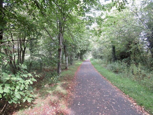
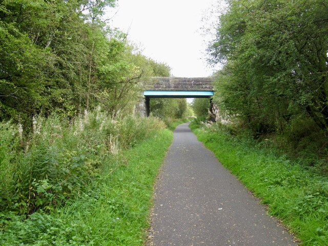
The hill is characterized by its gentle slopes and verdant vegetation, which includes a mix of grasslands, heather, and scattered trees. It is often frequented by walkers, hikers, and nature enthusiasts who appreciate its tranquil ambiance and picturesque vistas. The summit of Bridgend Hill is easily accessible via several footpaths and trails, making it an ideal destination for outdoor activities and leisurely strolls.
From the top of Bridgend Hill, visitors are treated to sweeping views of the rolling hills, farmland, and quaint villages that dot the Renfrewshire countryside. On clear days, it is also possible to catch glimpses of the distant mountains in the Southern Highlands, adding to the allure of the area.
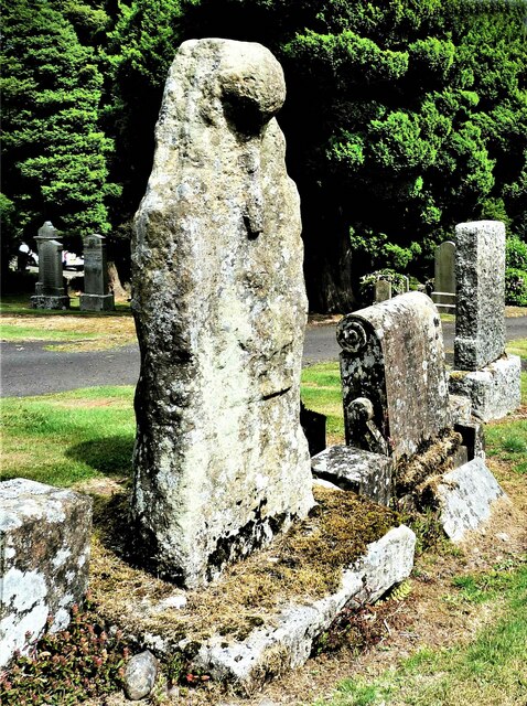
Bridgend Hill holds historical significance as well, with evidence of prehistoric settlements and ancient burial mounds in its vicinity. Archaeological investigations have revealed artifacts and remains that provide insights into the early human occupation of the region.
Overall, Bridgend Hill offers a captivating blend of natural beauty, recreational opportunities, and historical interest. It stands as a testament to the rich heritage and stunning landscapes that Renfrewshire has to offer.
If you have any feedback on the listing, please let us know in the comments section below.
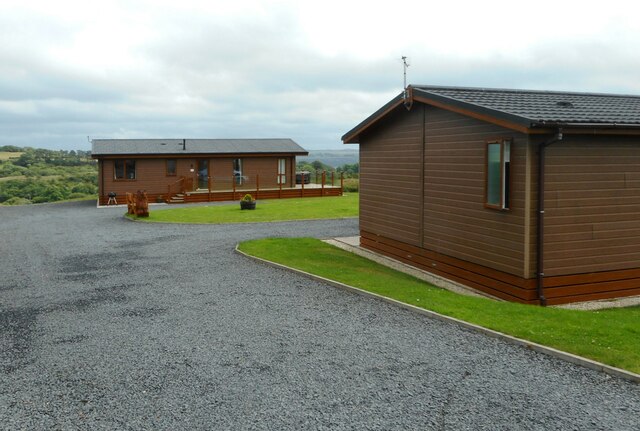
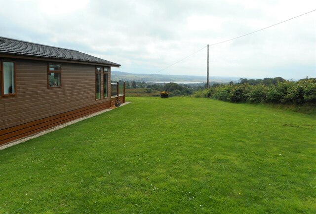
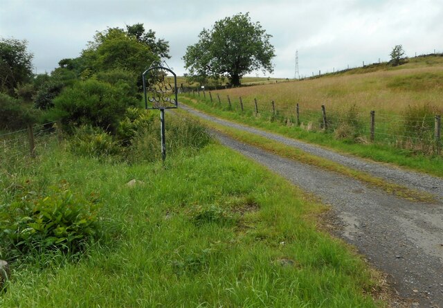
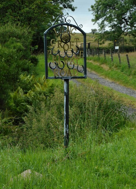
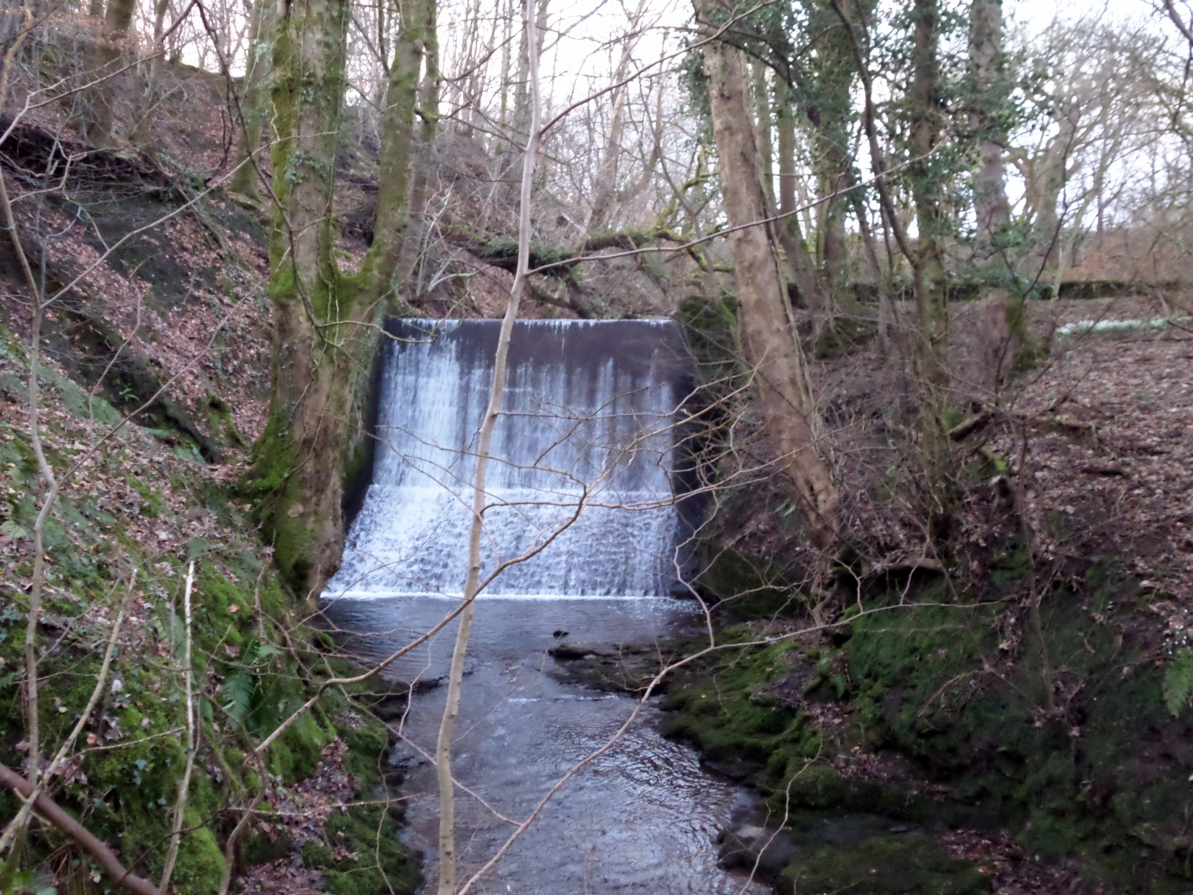
Bridgend Hill Images
Images are sourced within 2km of 55.802996/-4.6444273 or Grid Reference NS3459. Thanks to Geograph Open Source API. All images are credited.

Bridgend Hill is located at Grid Ref: NS3459 (Lat: 55.802996, Lng: -4.6444273)
Unitary Authority: Renfrewshire
Police Authority: Renfrewshire and Inverclyde
What 3 Words
///skies.escapades.bounded. Near Lochwinnoch, Renfrewshire
Nearby Locations
Related Wikis

St John's Kirk, Lochwinnoch
St John's Kirk, also known as St Winnock's Church and, colloquially, Auld Simon (Old Simon), is a former church building in Lochwinnoch, Renfrewshire,...

Lochwinnoch (loop) railway station
Lochwinnoch railway station was a railway station serving the village of Lochwinnoch, Renfrewshire, Scotland. The station was part of the Dalry and North...
Lochwinnoch
Lochwinnoch (; Scots: Lochineuch, Scottish Gaelic: Loch Uinneach) is a village in the council area and historic county of Renfrewshire in the west central...

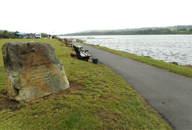
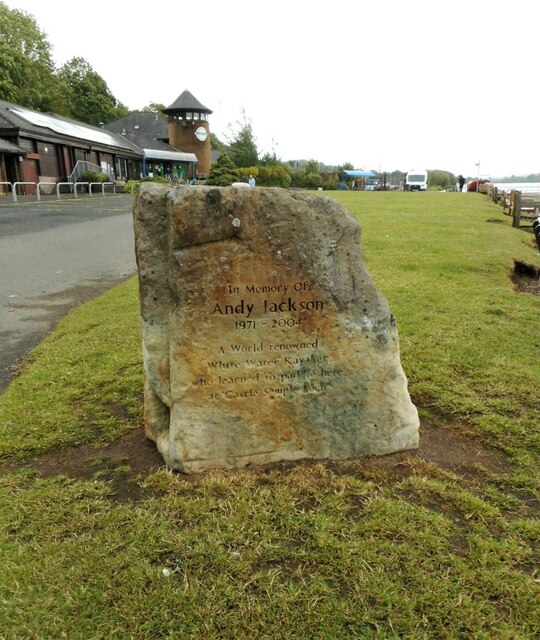
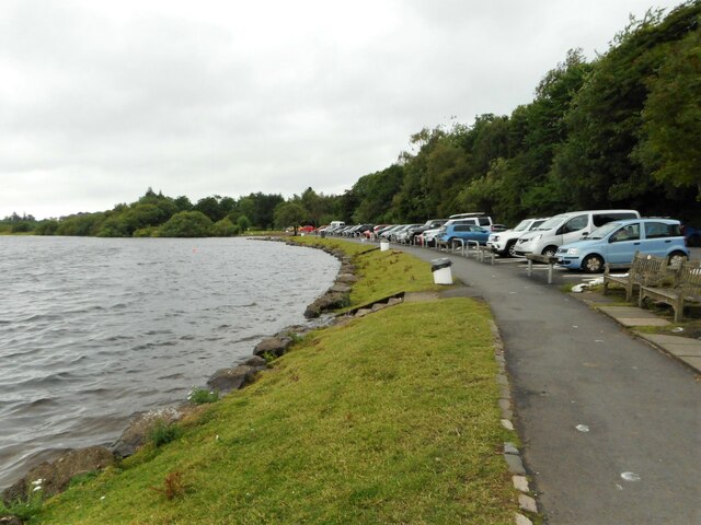
Castle Semple Rowing Club
Castle Semple Rowing Club is a rowing club on the Castle Semple Loch, based at Lochwinnoch, Renfrewshire, Central Lowlands, Scotland. The club is affiliated...

Clyde Muirshiel Regional Park
Clyde Muirshiel Regional Park is the collective name for areas of countryside set aside for conservation and recreation on the South Clyde estuary in Scotland...

River Calder, Renfrewshire
The River Calder (Scottish Gaelic: Caladar) is a river mainly within Renfrewshire, Scotland. == River course == The river rises in the hills to the west...

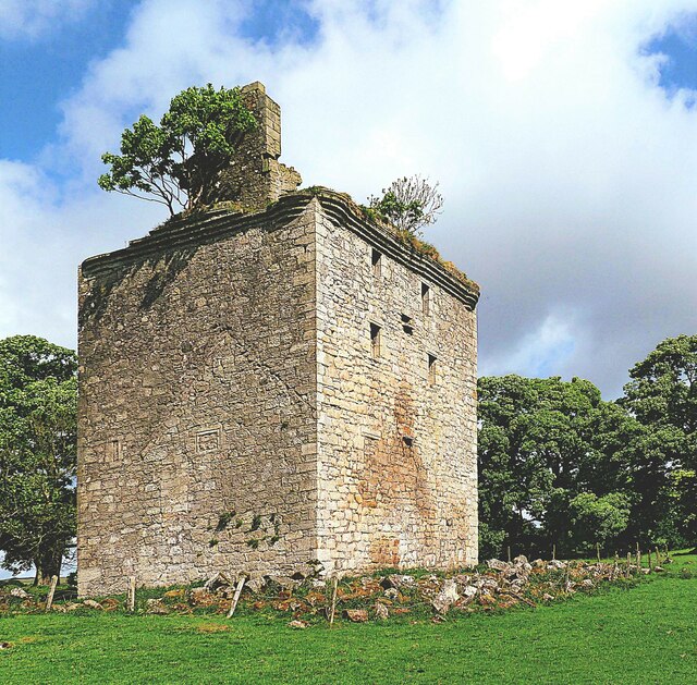
Belltrees Peel
Belltrees Peel is a medieval tower situated on a peninsula in Castle Semple Loch in Renfrewshire, Scotland, on which was once an island. == History... ==
Meikle Millbank Mill
Millbank Mill or Meikle Millbank Mill was an old corn mill in Burnbank Glen overlooking the Barr Loch near Lochwinnoch in Renfrewshire, south-west Scotland...
Nearby Amenities
Located within 500m of 55.802996,-4.6444273Have you been to Bridgend Hill?
Leave your review of Bridgend Hill below (or comments, questions and feedback).