Creag an Fhithich

Hill, Mountain in Stirlingshire

Scotland

Creag an Fhithich

The slopes of Moel an Fhithich Across Loch Lomond from the A82
The slopes of Moel an Fhithich Credit: Eirian Evans

Creag an Fhithich is a prominent hill located in Stirlingshire, Scotland. It stands at an elevation of 468 meters (1,535 feet) and is part of the Campsie Fells range. The hill is situated near the village of Fintry, approximately 20 miles northwest of Stirling.

The name Creag an Fhithich translates to "Rock of the Raven" in English, and it is believed to have derived from the abundance of ravens that inhabit the area. The hill is characterized by its rocky terrain, with a steep and rugged ascent that provides a challenging hike for outdoor enthusiasts.

At the summit of Creag an Fhithich, visitors are rewarded with breathtaking panoramic views of the surrounding countryside. On a clear day, one can see the Campsie Fells, the Trossachs, and even as far as Loch Lomond. The hill's elevated position also offers an excellent vantage point for birdwatching, with various species of birds frequently spotted in the area.

Creag an Fhithich is a popular destination for walkers and hikers, with several well-marked trails leading to the summit. These trails vary in difficulty, catering to both casual walkers and more experienced climbers. The hill is easily accessible, with parking available near the village of Fintry and clear signposts guiding visitors to the starting points of the trails.

Overall, Creag an Fhithich is a notable hill in Stirlingshire, offering outdoor enthusiasts an opportunity to experience stunning views, challenging hikes, and the chance to observe the diverse wildlife that inhabits the area.

If you have any feedback on the listing, please let us know in the comments section below.

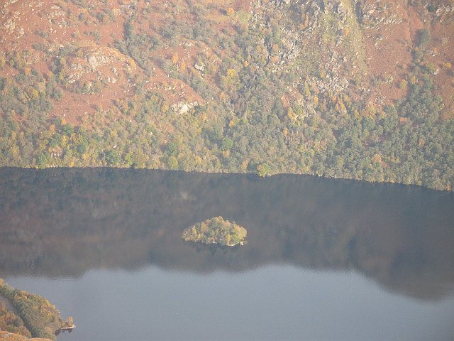
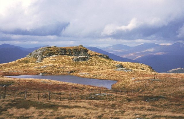
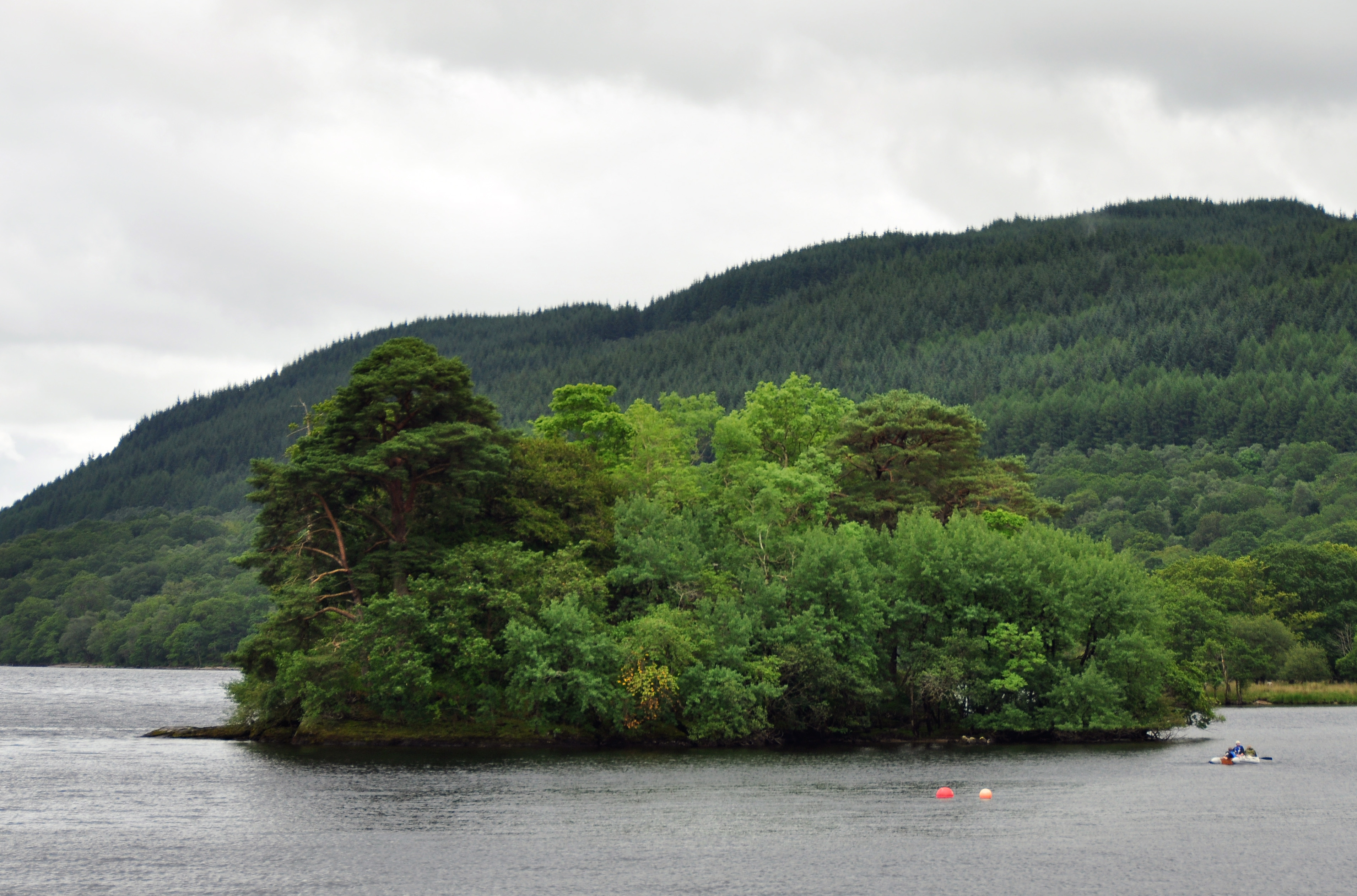
Creag an Fhithich Images

Images are sourced within 2km of 56.272223/-4.6850868 or Grid Reference NN3312. Thanks to Geograph Open Source API. All images are credited.

The slopes of Moel an Fhithich Across Loch Lomond from the A82
The slopes of Moel an Fhithich
Across Loch Lomond from the A82
A82 near Pulpit Rock
A82 along the west shore of Loch Lomond
Low rocks at shore of Loch Lomond The shore of the west side of the loch below the A82.
Complex mountain slopes above the location rise ultimately to Ben Vorlich.
Low rocks at shore of Loch Lomond
The shore of the west side of the loch below the A82. Complex mountain slopes above the location rise ultimately to Ben Vorlich.
Loch Lomond with rounded rock and young trees at its shore At the west side of the loch close to the A82 between Ceann Mòr and Tom na h-Innse.
The sunlit hill across the water is probably Stob na Eighrach.
Loch Lomond with rounded rock and young trees at its shore
At the west side of the loch close to the A82 between Ceann Mòr and Tom na h-Innse. The sunlit hill across the water is probably Stob na Eighrach.
South slopes of Beinn a' Choin Loch Long beyond Loch Lomond.
South slopes of Beinn a' Choin
Loch Long beyond Loch Lomond.
A82, southbound
A82, southbound
A82 north of Ardvorlich
Bend of A82 near Rubha Ban Rubha Ban is a promontory into Loch Lomond. The bend is viewed looking south; the mountain slopes beyond belong to Ben Vorlich.
Bend of A82 near Rubha Ban
Rubha Ban is a promontory into Loch Lomond. The bend is viewed looking south; the mountain slopes beyond belong to Ben Vorlich.
Boulder on the beach Seen from the West Highland Way on the eastern shore of Loch Lomond south of Pollochro.
Boulder on the beach
Seen from the West Highland Way on the eastern shore of Loch Lomond south of Pollochro.
The West Highland Way near Pollochro The section of the route from Inversnaid to the top of Loch Lomond is not easy in wet conditions. Lots of steep, uneven and slippery stuff to be negotiated. Tricky with a heavy pack.
The West Highland Way near Pollochro
The section of the route from Inversnaid to the top of Loch Lomond is not easy in wet conditions. Lots of steep, uneven and slippery stuff to be negotiated. Tricky with a heavy pack.
Island I Vow The most northerly of Loch Lomond's many islands. There are remains of a castle on it.
Island I Vow
The most northerly of Loch Lomond's many islands. There are remains of a castle on it.
Beach near the north end of Loch Lomond Looking south towards Island I Vow.
Beach near the north end of Loch Lomond
Looking south towards Island I Vow.
Rockfall netting by the A82 at Pulpit Rock The anchor points of the netting which prevents loose rock from falling onto the carriageway below.
Rockfall netting by the A82 at Pulpit Rock
The anchor points of the netting which prevents loose rock from falling onto the carriageway below.
The A82 at Pulpit Rock Looking down to the new stretch of road from above the rockfall netting.
The A82 at Pulpit Rock
Looking down to the new stretch of road from above the rockfall netting.
Loch Lomond at Pulpit Rock Looking across the loch from above the rockfall netting.
Loch Lomond at Pulpit Rock
Looking across the loch from above the rockfall netting.
Solar panels near Pulpit Rock Presumably part of an installation to monitor any ground movement above the new section of the A82.
Solar panels near Pulpit Rock
Presumably part of an installation to monitor any ground movement above the new section of the A82.
Show me another place!

Creag an Fhithich is located at Grid Ref: NN3312 (Lat: 56.272223, Lng: -4.6850868)

Unitary Authority: Stirling

Police Authority: Forth Valley

What 3 Words

///sheepish.trades.drip. Near Tyndrum, Stirling

Related Wikis

Island I Vow

Island I Vow is a wooded islet near the head of Loch Lomond in west-central Scotland. It is 10 m tall at its highest point, and 80 m long. The island contains...

Beinn a' Chòin

Beinn a' Choin (769 m) is a mountain in the Grampian Mountains of Scotland. It lies on the border of the Stirling region and Argyll at the northern end...

Creag-an-Arnain Viaduct

The Creag-an-Arnain Viaduct is a railway viaduct that carries the West Highland Line. == History == The viaduct opened to traffic in 1894 as part of the...

Inveruglas Isle

Inveruglas Isle (Scottish Gaelic: "Innis Inbhir Dhughlais") is a small uninhabited island within Loch Lomond, and lies off the shore at Inveruglas opposite...

Inveruglas

Inveruglas (Scottish Gaelic: Inbhir Dhubhghlais) is a hamlet on the west shore of Loch Lomond, fairly near the north end of the loch and is within the...

Inversnaid

Inversnaid (Scottish Gaelic: Inbhir Snàthaid) is a small rural community on the east bank of Loch Lomond in Scotland, near the north end of the loch....

Inveruglas railway station

Inveruglas was a remote temporary private railway station near the hamlet of Inveruglas, Argyll and Bute, Scotland. Opened in 1945 by the LNER, it was...

Inversnaid Falls

Inversnaid Falls is a waterfall of Scotland. == See also == Waterfalls of Scotland == References == Media related to Inversnaid Falls at Wikimedia Commons

Have you been to Creag an Fhithich?

Leave your review of Creag an Fhithich below (or comments, questions and feedback).