Bartorran Hill
Hill, Mountain in Wigtownshire
Scotland
Bartorran Hill
Bartorran Hill, located in Wigtownshire, Scotland, is a prominent hill that forms a part of the beautiful Galloway Hills range. Situated near the village of Kirkcowan, this hill stands at an approximate height of 396 meters (1,299 feet), offering breathtaking panoramic views of the surrounding countryside.
Covered in lush green vegetation, Bartorran Hill is composed mainly of granite and is characterized by a gently sloping terrain, making it a popular destination for hikers and walkers. The hill is adorned with heather, bracken, and various species of wildflowers, creating a vibrant and picturesque landscape.
At its summit, Bartorran Hill provides visitors with an outstanding viewpoint, allowing them to marvel at the magnificent vistas of the rolling hills, meandering rivers, and scattered rural settlements. On clear days, it is even possible to catch a glimpse of the nearby Galloway Forest Park, the UK's largest forest park, renowned for its striking beauty and abundant wildlife.
In addition to its natural charm, Bartorran Hill also boasts a rich history. The hill's name originates from the ancient Celtic language, with "Bartorran" translating to "hill of the cattle fold." This suggests that the hill might have played a significant role in the region's agricultural practices in the past.
Overall, Bartorran Hill in Wigtownshire is a remarkable destination for nature enthusiasts, history buffs, and those seeking tranquility amidst Scotland's stunning landscapes. Its accessibility, scenic beauty, and historical significance make it a must-visit location for anyone exploring the region.
If you have any feedback on the listing, please let us know in the comments section below.
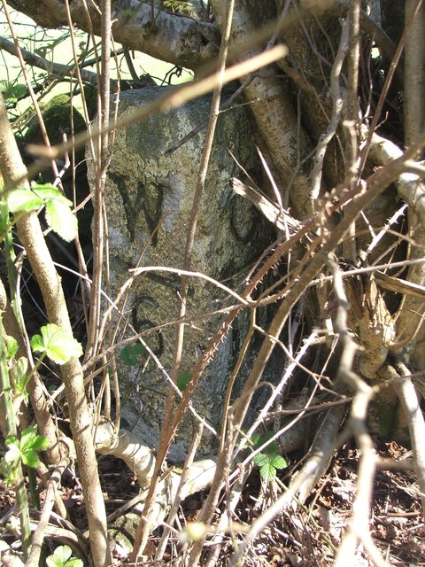
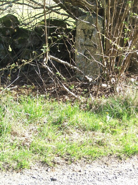
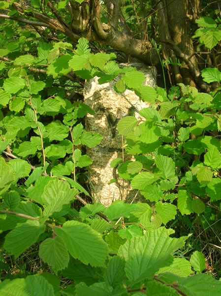
Bartorran Hill Images
Images are sourced within 2km of 54.901137/-4.6066384 or Grid Reference NX3259. Thanks to Geograph Open Source API. All images are credited.


Bartorran Hill is located at Grid Ref: NX3259 (Lat: 54.901137, Lng: -4.6066384)
Unitary Authority: Dumfries and Galloway
Police Authority: Dumfries and Galloway
What 3 Words
///glimmers.obligated.positives. Near Newton Stewart, Dumfries & Galloway
Nearby Locations
Related Wikis

Kirkcowan
Kirkcowan is an area about 15 miles in length, and from nearly two to nearly seven miles in breadth, comprising 30,580 acres, of which 7000 are arable...

Kirkcowan railway station
Kirkcowan railway station served the village of Kirkcowan, Dumfries and Galloway, Scotland from 1861 to 1965 on the Portpatrick and Wigtownshire Joint...

Torhouse
The Standing Stones of Torhouse (also Torhousekie) are a stone circle of nineteen granite boulders on the land of Torhouse, three miles west of Wigtown...

Barhapple Loch
Barhapple Loch is a small semicircular freshwater loch located in Wigtownshire, Dumfries and Galloway in Scotland. Barhapple Loch is principally known...

Castle Loch, Dumfries and Galloway
Castle Loch is a large, shallow, freshwater loch in Dumfries and Galloway, in the Southern Uplands of south-west Scotland. It lies to the west of Mochrum...
Castle Loch
Castle Loch is a shallow eutrophic loch covering an area of around 100 hectares in the town of Lochmaben in Dumfries and Galloway, Scotland. It lies to...

Mochrum Loch
Mochrum Loch is a large, irregular shaped, shallow, freshwater loch in Dumfries and Galloway, in the Southern Uplands of south-west Scotland. It lies approximately...

Mains of Penninghame Platform railway station
Mains of Penninghame Platform railway station (NX410617) was a halt on the Wigtownshire Railway branch line, from Newton Stewart to Whithorn, of the Portpatrick...
Have you been to Bartorran Hill?
Leave your review of Bartorran Hill below (or comments, questions and feedback).