Hilderstone

Settlement in Staffordshire Stafford

England

Hilderstone

B5027 near Milwich
B5027 near Milwich Credit: Steven Brown

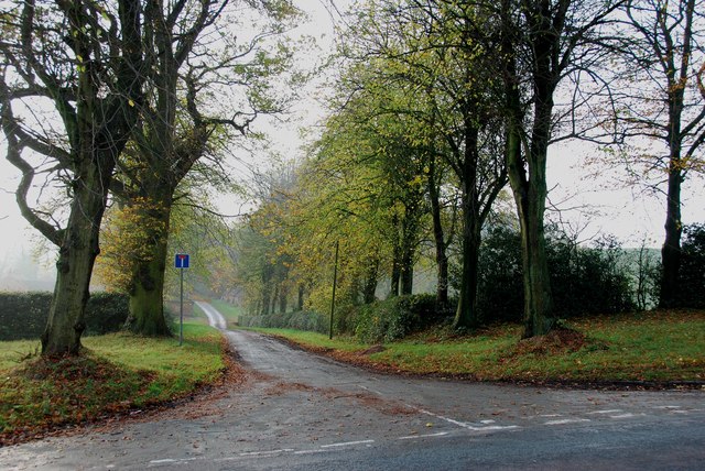
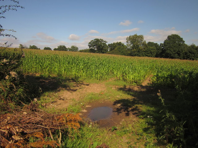
Hilderstone is a small village located in Staffordshire, England. Situated approximately 5 miles southeast of the town of Stone, Hilderstone is known for its picturesque countryside and charming atmosphere. The village is nestled in the heart of the Staffordshire Moorlands, surrounded by rolling hills and lush greenery, making it an ideal destination for nature lovers and outdoor enthusiasts.

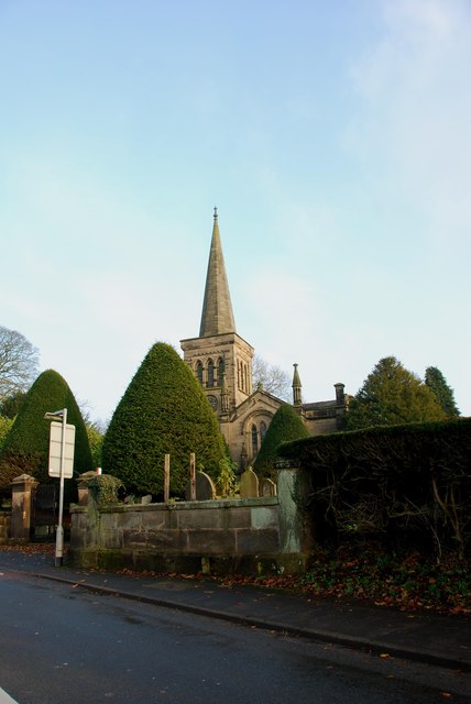
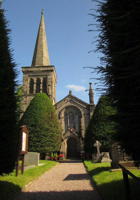
One of the notable features of Hilderstone is its historic St. Mary's Church, which dates back to the 12th century. This stunning medieval church is a prominent landmark in the village and showcases beautiful architecture and intricate stained glass windows. It serves as a center for religious gatherings and community events.

Hilderstone is a close-knit community with a population of around 1,000 residents. The village offers a range of amenities, including a primary school, a pub, and a village hall, which serves as a hub for various social activities and gatherings. The village hall hosts events such as art exhibitions, craft fairs, and local group meetings, fostering a sense of community spirit.

The surrounding countryside provides ample opportunities for outdoor activities, such as hiking, cycling, and horse riding. The village is also conveniently located near the Staffordshire and Worcestershire Canal, offering scenic walking routes and tranquil waterside views.

Overall, Hilderstone is a charming and peaceful village that appeals to those seeking a tranquil rural setting, with its historic church, community spirit, and stunning natural surroundings.

If you have any feedback on the listing, please let us know in the comments section below.
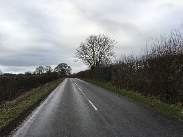
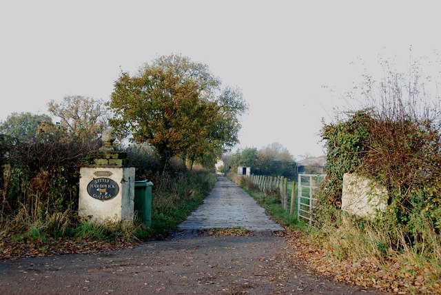
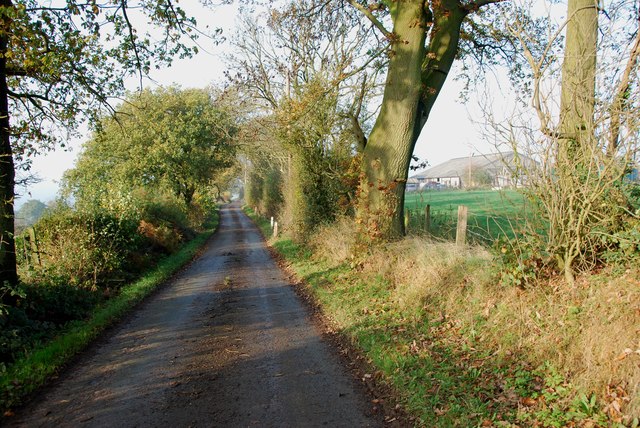
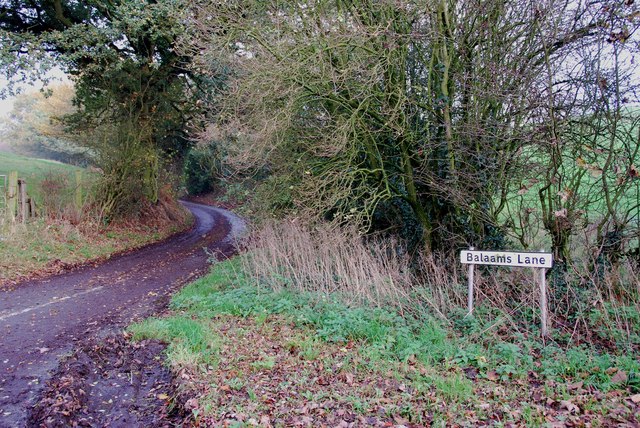
Hilderstone Images

Images are sourced within 2km of 52.907788/-2.0792979 or Grid Reference SJ9434. Thanks to Geograph Open Source API. All images are credited.

B5027 near Milwich
B5027 near Milwich
Access Track into Hardiwick Plantation
Jolpool Lane meeting the B5027 Uttoxeter Road
Driveway to Little Hardiwick Cottage, off the B5027
Lazy Fingerpost and Stile off the Whitehouse Lane
A View up Whitehouse Lane Most of the lanes around here are as narrow as this, but I must admit I enjoy driving round them.
A View up Whitehouse Lane
Most of the lanes around here are as narrow as this, but I must admit I enjoy driving round them.
A Stile near Wooliscroft This stile is part way up the bank, somebody has kindly put a post at the side to give a handhold.
A Stile near Wooliscroft
This stile is part way up the bank, somebody has kindly put a post at the side to give a handhold.
House on a Hillside near Wooliscroft This house is in a superb location, with views across the valley, but in the middle of winter it must be difficult, with steep roads on either side of the valley, a little bit of snow and they would be cut off. I bet the gritters don't come down here.
House on a Hillside near Wooliscroft
This house is in a superb location, with views across the valley, but in the middle of winter it must be difficult, with steep roads on either side of the valley, a little bit of snow and they would be cut off. I bet the gritters don't come down here.
A Bridge and Stream in the Valley near Wooliscroft The roads that leave this bridge on either side of the valley are quite steep. Do not attempt this lane if there is ice or snow about.
A Bridge and Stream in the Valley near Wooliscroft
The roads that leave this bridge on either side of the valley are quite steep. Do not attempt this lane if there is ice or snow about.
Footpath to Hilderstone Many of the stiles in this area are about three feet above the roads.
Footpath to Hilderstone
Many of the stiles in this area are about three feet above the roads.
Home Farm at Cotwalton The buildings on the left look like barn conversions.
Home Farm at Cotwalton
The buildings on the left look like barn conversions.
Balaams Lane leaving the B5066
The Driveway to Spot Farm from the B5066
Looking across to Hilderstone Church
Road Junction for the B5066 and the B5027
Looking across Fields from the B5066
Maize near Hilderstone From the bend in the lane shown in <a href="https://www.geograph.org.uk/photo/199447">SJ9435 : Lane near Hilderstone</a>. The trees mark the line of the B5066.
Maize near Hilderstone
From the bend in the lane shown in SJ9435 : Lane near Hilderstone. The trees mark the line of the B5066.
Christ Church, Hilderstone Built in 1827-9 by Thomas Trubshaw <span class="nowrap"><a title="http://www.britishlistedbuildings.co.uk/en-272244-christ-church-hilderstone-staffordshire" rel="nofollow ugc noopener" href="http://www.britishlistedbuildings.co.uk/en-272244-christ-church-hilderstone-staffordshire">Link</a><img style="margin-left:2px;" alt="External link" title="External link - shift click to open in new window" src="https://s1.geograph.org.uk/img/external.png" width="10" height="10"/></span> .
Christ Church, Hilderstone
Built in 1827-9 by Thomas Trubshaw LinkExternal link .
Show me another place!

Hilderstone is located at Grid Ref: SJ9434 (Lat: 52.907788, Lng: -2.0792979)

Administrative County: Staffordshire

District: Stafford

Police Authority: Staffordshire

What 3 Words

///pegs.howler.dogs. Near Stone, Staffordshire

Nearby Locations

Hilderstone

Related Wikis

Hilderstone

Hilderstone is a village and a civil parish in the English county of Staffordshire. == Location == The village is 8.6 miles (13.8 km) north of the town...

Moddershall

Moddershall is a small village in the borough of Stafford in the county of Staffordshire, England, part of the civil parish of Stone Rural and ecclesiastical...

Stone Rural

Stone Rural is a civil parish in the Stafford district, in the county of Staffordshire, England. The parish includes the settlements of Aston-By-Stone...

Milwich

Milwich is a village and a civil parish in the English county of Staffordshire. == Location == The village is 7.8 miles (12.6 km) north east of the town...

Nearby Amenities

Located within 500m of 52.907788,-2.0792979
Bus Stop
The Old Chapel
Naptan AtcoCode: 3800C704800
Naptan Bearing: S
Naptan CommonName: The Old Chapel
Naptan Indicator: Adj
Naptan Landmark: The Old Chapel
Naptan Street: Sandon Rd
Naptan Verified: no
Source: naptan_import
Lat/Long: 52.9049441/-2.0783107
The Old Chapel
Naptan AtcoCode: 3800C704801
Naptan Bearing: N
Naptan BusStopType: CUS
Naptan CommonName: The Old Chapel
Naptan Indicator: Opp
Naptan Landmark: The Old Chapel
Naptan Street: Sandon Road
Naptan Verified: no
Source: naptan_import
Lat/Long: 52.9051617/-2.0784994
Bus Stop
Old School
Naptan AtcoCode: 3800C727001
Naptan Bearing: NE
Naptan CommonName: Old School
Naptan Indicator: Adj
Naptan Landmark: Old School
Naptan Street: Cresswell Rd
Naptan Verified: no
Source: naptan_import
Lat/Long: 52.9101683/-2.076506
Old School
Naptan AtcoCode: 3800C727002
Naptan Bearing: SW
Naptan BusStopType: CUS
Naptan CommonName: Old School
Naptan Indicator: Opp
Naptan Landmark: Old School
Naptan Street: Cresswell Rd
Naptan Verified: no
Source: naptan_import
Lat/Long: 52.9101144/-2.076372
Hilderstone
Place: village
Wikidata: Q2741112
Lat/Long: 52.9114568/-2.0777905
Barrier: cycle_barrier
Lat/Long: 52.9098524/-2.0801278
Post Box
Post Box Type: lamp
Ref: ST15 230
Royal Cypher: EIIR
Royal Cypher Wikidata: Q33102113
Lat/Long: 52.9084285/-2.0791362
Leisure: playground
Lat/Long: 52.9090668/-2.0798094
Booth: K6
Covered: booth
Disused Amenity: telephone
Listed Status: Grade II
Man Made: telephone_box
Note: red telephone box
Tourism: information
Lat/Long: 52.9097247/-2.0773425
Bench
Lat/Long: 52.9103907/-2.0773604
Waste Basket
Lat/Long: 52.9104346/-2.0774046
Man Made: pumping_station
Pumping Station: wastewater
Lat/Long: 52.9116838/-2.0811285
Waste Basket
Lat/Long: 52.9119594/-2.0804422
Defibrillator
Defibrillator Location: outside Hilderstone Village Hall
Emergency: defibrillator
Indoor: no
Lat/Long: 52.9094275/-2.0781854
The data included in this document is from www.openstreetmap.org. The data is made available under ODbL.

Have you been to Hilderstone?

Leave your review of Hilderstone below (or comments, questions and feedback).