Barjarg Hill

Hill, Mountain in Ayrshire

Scotland

Barjarg Hill

Tormentil This little flower could be mistaken for a buttercup but its 4-petalled flower defines it as Tormentil (Potentilla erecta).  One of many yellow spring flowers commonly found along our footpaths and tracks.
Tormentil Credit: Mary and Angus Hogg

Barjarg Hill is a prominent hill located in Ayrshire, Scotland. Standing at an elevation of approximately 409 meters (1,342 feet), it offers stunning panoramic views of the surrounding landscape. It is situated about 5 kilometers (3 miles) northwest of the town of New Cumnock.

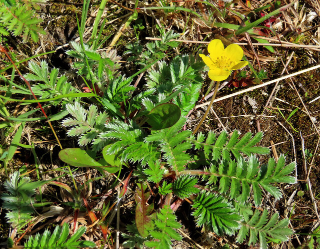
The hill is part of the Southern Uplands, which is a range of rolling hills and low mountains in southern Scotland. Barjarg Hill is characterized by its gently sloping sides and a rounded summit. It is covered in a mixture of grasses, heather, and scattered patches of woodland, lending it a picturesque appearance.

Hikers and nature enthusiasts are drawn to Barjarg Hill, as it offers a range of walking trails that cater to different abilities. The most popular route starts from the village of Barjarg and winds its way up through the hillside, providing walkers with breathtaking views as they ascend. On clear days, it is possible to see as far as the Ayrshire coast and even the peaks of the Isle of Arran in the distance.

The hill is also home to a diverse array of wildlife, including red deer, hares, and various bird species. It is not uncommon to spot buzzards soaring overhead or catch a glimpse of a fox darting through the undergrowth.

Overall, Barjarg Hill is a natural gem in Ayrshire, offering outdoor enthusiasts a chance to immerse themselves in the beauty of the Scottish countryside while enjoying stunning views and encountering local wildlife.

If you have any feedback on the listing, please let us know in the comments section below.

Barjarg Hill Images

Images are sourced within 2km of 55.072193/-4.6367577 or Grid Reference NX3178. Thanks to Geograph Open Source API. All images are credited.

Tormentil This little flower could be mistaken for a buttercup but its 4-petalled flower defines it as Tormentil (Potentilla erecta).  One of many yellow spring flowers commonly found along our footpaths and tracks.
Tormentil
This little flower could be mistaken for a buttercup but its 4-petalled flower defines it as Tormentil (Potentilla erecta). One of many yellow spring flowers commonly found along our footpaths and tracks.
Common Silverweed The Common Silverweed (Argentina anserina) is a low-growing plant that spreads out easily to cover large areas.  Its name comes from the silvery underside of the leaves. In the olden days, Silverweed was believed to be a protection against witches. One of many yellow spring flowers commonly found along our footpaths and tracks.
Common Silverweed
The Common Silverweed (Argentina anserina) is a low-growing plant that spreads out easily to cover large areas. Its name comes from the silvery underside of the leaves. In the olden days, Silverweed was believed to be a protection against witches. One of many yellow spring flowers commonly found along our footpaths and tracks.
Coltsfoot flowers The bright yellow coltsfoot (Tussilago farfara) can be mistaken for a dandelion. These were growing on the forest track but the dry spring weather had kept them very small. One of many yellow spring flowers commonly found along our footpaths and tracks.
Coltsfoot flowers
The bright yellow coltsfoot (Tussilago farfara) can be mistaken for a dandelion. These were growing on the forest track but the dry spring weather had kept them very small. One of many yellow spring flowers commonly found along our footpaths and tracks.
Frog Spit on a plantain The cluster of frothy bubbles was produced by a froghopper insect.
Frog Spit on a plantain
The cluster of frothy bubbles was produced by a froghopper insect.
An overgrown forest track It’s a long time since this part of the track was used.
An overgrown forest track
It’s a long time since this part of the track was used.
Dalnaw view The farm lies on high ground well above the level of the surrounding boggy area.
Dalnaw view
The farm lies on high ground well above the level of the surrounding boggy area.
Towards Dalnaw The minor road skirts the forest and leads to two remote farms.
Towards Dalnaw
The minor road skirts the forest and leads to two remote farms.
A forest track near Barjarg The road on the left gives access to Barjarg and Dalnaw while the track on the right continues into the forest.
A forest track near Barjarg
The road on the left gives access to Barjarg and Dalnaw while the track on the right continues into the forest.
Forest road The road gives access to a large area on Barjarg Hill, managed by Tilhill Forestry.
Forest road
The road gives access to a large area on Barjarg Hill, managed by Tilhill Forestry.
Swirls of cirrus The high-level wind had produced some spectacular swirls of goat’s hair cloud above the forest near Barwinnock.
Swirls of cirrus
The high-level wind had produced some spectacular swirls of goat’s hair cloud above the forest near Barwinnock.
Towards Barshalloch The forest continues to Barshalloch Hill and beyond.
Towards Barshalloch
The forest continues to Barshalloch Hill and beyond.
Barwinnock view The low ground on the left is boggy, being fed by a slow-moving watercourse that flows into the Carrick Burn a little further downstream.
Barwinnock view
The low ground on the left is boggy, being fed by a slow-moving watercourse that flows into the Carrick Burn a little further downstream.
Approaching Barwinnock The steading lies on the other side of the cattle grid on this minor dead-end road.
Approaching Barwinnock
The steading lies on the other side of the cattle grid on this minor dead-end road.
Upper Reaches of River Cree
Auchie Island, River Cree Kayaking around Auchie Island on River Cree
Auchie Island, River Cree
Kayaking around Auchie Island on River Cree
Grade III rapid on the Cree Rapid on upper Cree
Grade III rapid on the Cree
Rapid on upper Cree
Wall and fence near Cairnderry
Forest Track Near Bargrennan
Show me another place!

Barjarg Hill is located at Grid Ref: NX3178 (Lat: 55.072193, Lng: -4.6367577)

Unitary Authority: South Ayrshire

Police Authority: Ayrshire

What 3 Words

///district.height.onlookers. Near Newton Stewart, Dumfries & Galloway

Nearby Locations

Barjarg Hill

Related Wikis

Cairnderry chambered cairn

Cairnderry chambered cairn is a chambered cairn in Dumfries and Galloway. It is a Bargrennan cairn, a type of Neolithic or early Bronze Age monument only...

Loch Dornal

Loch Dornal is an irregular shaped, shallow, freshwater loch in south Ayrshire, in the Southern Uplands of Scotland. It lies approximately eight miles...

Bargrennan

Bargrennan (Scottish Gaelic: Bar Grianain, meaning height of the summer house or sunny spot) is a village in Dumfries and Galloway, in the south west of...

Glentrool

Glentrool is a collection of mountain biking routes through the heart of Galloway in southwest Scotland. The mountain bike routes are part of the 7Stanes...

Nearby Amenities

Located within 500m of 55.072193,-4.6367577
Power: pole
Lat/Long: 55.0691091/-4.6322482
Power: pole
Lat/Long: 55.0698282/-4.6322223
Power: pole
Lat/Long: 55.0705028/-4.6321941
Power: pole
Lat/Long: 55.0712636/-4.6322129
Power: pole
Lat/Long: 55.0718304/-4.6322058
Power: pole
Lat/Long: 55.07254/-4.6321706
Power: pole
Lat/Long: 55.0732159/-4.6321541
Power: pole
Lat/Long: 55.0738016/-4.6321423
Power: pole
Lat/Long: 55.0744263/-4.6321094
Power: pole
Lat/Long: 55.0751857/-4.6316109
The data included in this document is from www.openstreetmap.org. The data is made available under ODbL.

Have you been to Barjarg Hill?

Leave your review of Barjarg Hill below (or comments, questions and feedback).