Rob's Hill
Hill, Mountain in Wigtownshire
Scotland
Rob's Hill
Rob's Hill is a prominent hill located in Wigtownshire, Scotland. Rising to a height of approximately 1,112 feet (339 meters), it offers breathtaking panoramic views of the surrounding countryside. Situated near the village of Glenluce, Rob's Hill is a popular destination for outdoor enthusiasts and nature lovers.
The hill is named after a local legend, Rob, who was said to be a skilled hunter and woodsman. According to the folklore, Rob once encountered a fierce wild boar on the hill and bravely fought it off, saving the nearby village. In honor of his bravery, the hill was named after him.
The summit of Rob's Hill is accessible via several well-marked trails that wind through heather-covered slopes and woodland. The trails vary in difficulty, offering options for both experienced hikers and casual walkers. As visitors ascend the hill, they are treated to stunning views of the surrounding countryside, including the picturesque villages of Glenluce and nearby Wigtown.
The hill is known for its diverse flora and fauna, with wildflowers, ferns, and mosses dotting the landscape. Birdwatchers will also find plenty to enjoy, as Rob's Hill is home to a variety of bird species, including red grouse, curlews, and peregrine falcons.
Rob's Hill is not only a natural treasure but also a place of historical significance. The remains of an Iron Age fort can be found on its slopes, offering a glimpse into the area's ancient past.
Overall, Rob's Hill is a must-visit destination for those seeking a blend of natural beauty, history, and outdoor adventure in Wigtownshire.
If you have any feedback on the listing, please let us know in the comments section below.
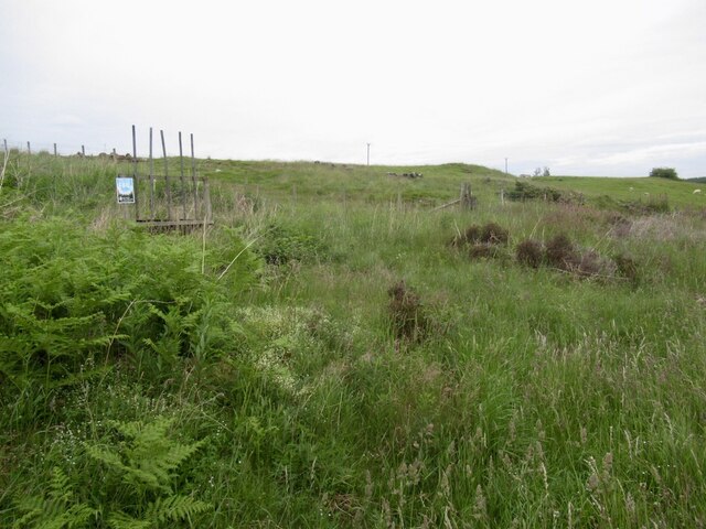
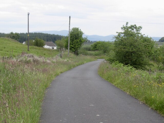
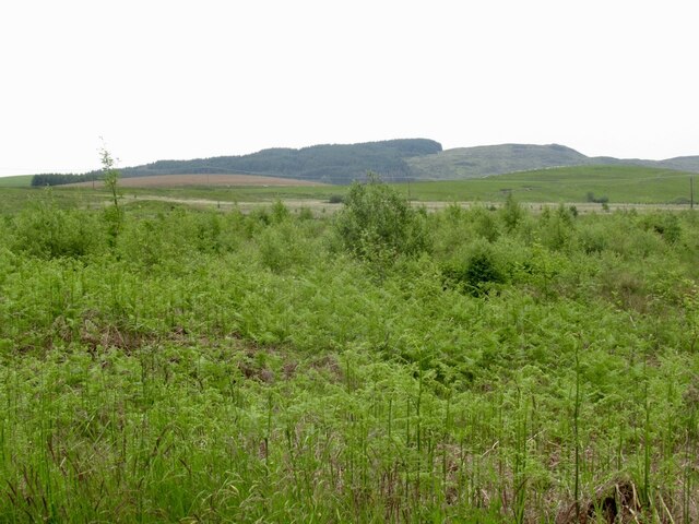
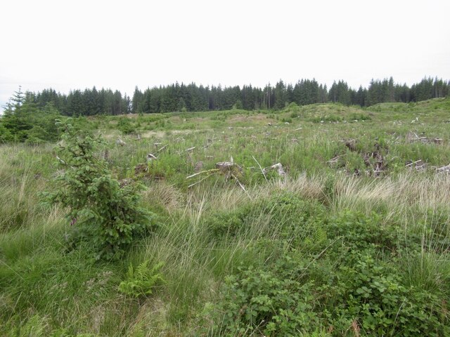
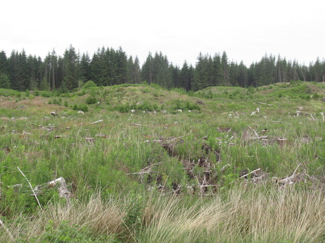
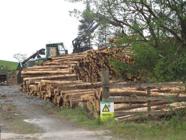
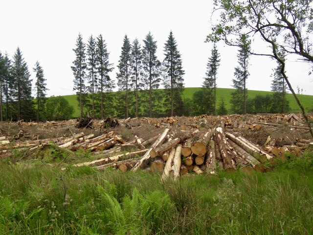
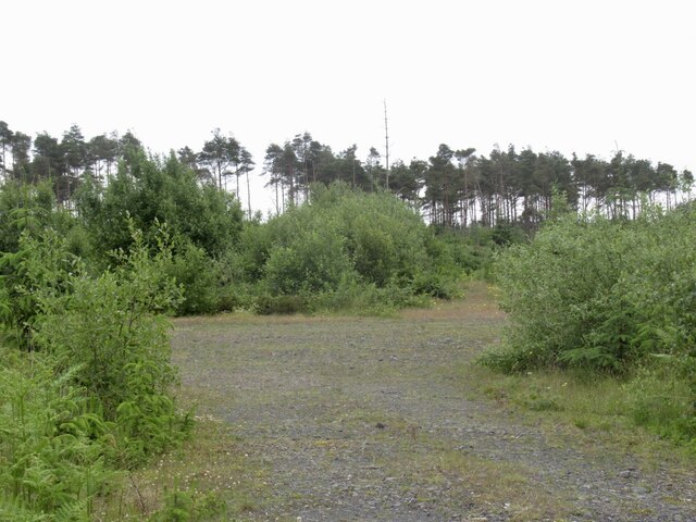
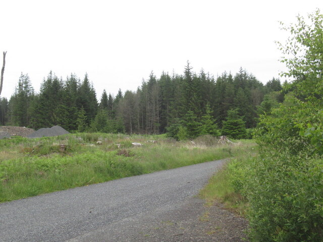
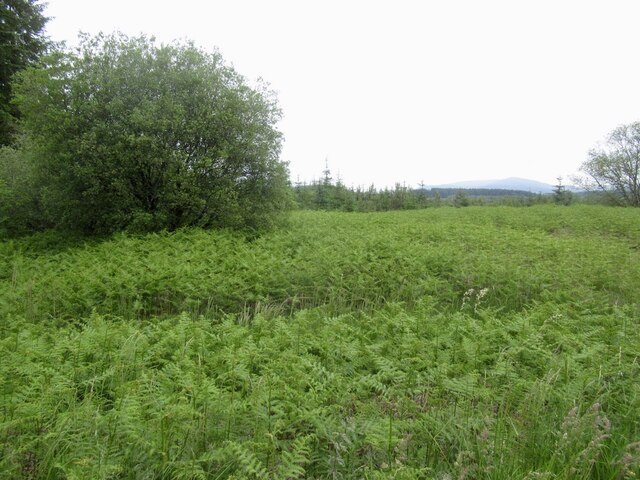
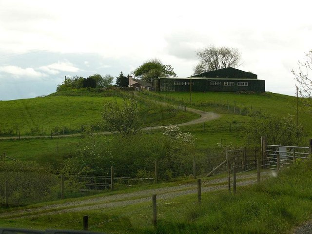
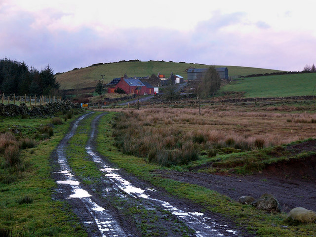
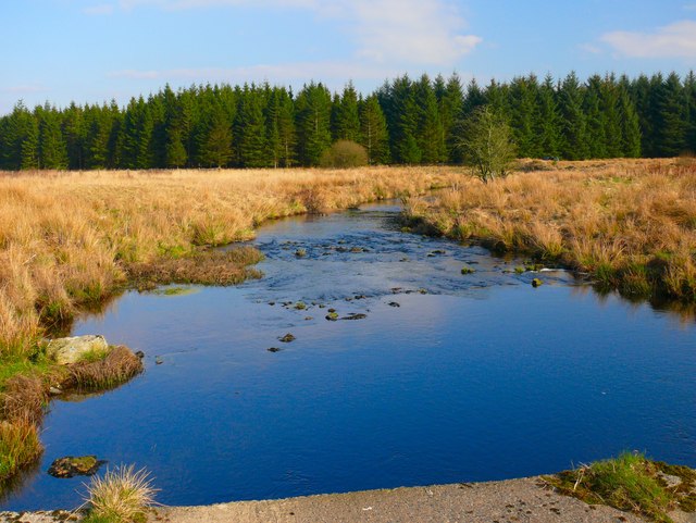
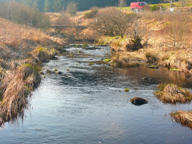
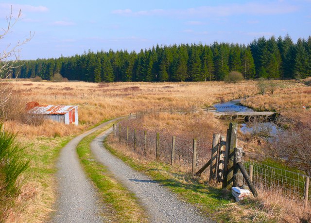
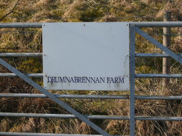
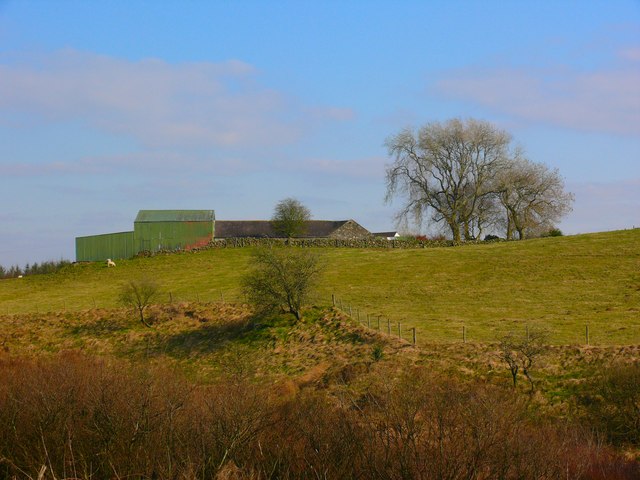
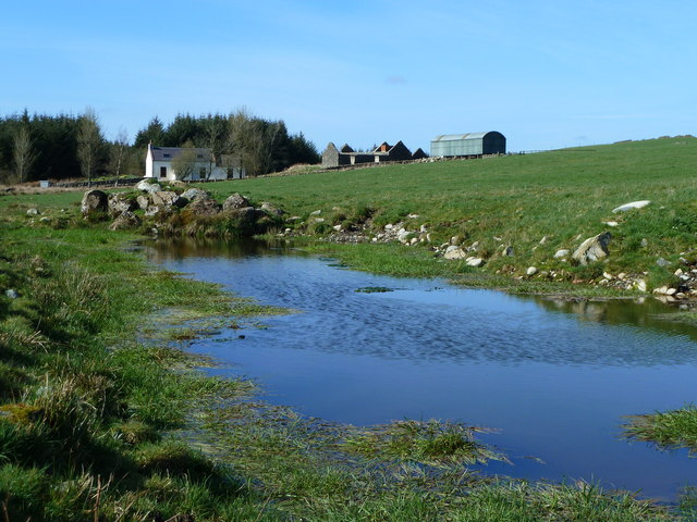
Rob's Hill Images
Images are sourced within 2km of 54.975484/-4.6368046 or Grid Reference NX3167. Thanks to Geograph Open Source API. All images are credited.
Rob's Hill is located at Grid Ref: NX3167 (Lat: 54.975484, Lng: -4.6368046)
Unitary Authority: Dumfries and Galloway
Police Authority: Dumfries and Galloway
What 3 Words
///objecting.dimension.bagels. Near Newton Stewart, Dumfries & Galloway
Nearby Locations
Related Wikis

Tarf Water, Wigtownshire
The Tarf Water is a river in the former county of Wigtownshire in south-west Scotland. It rises on the Ayrshire border (55.0048°N 4.7815°W / 55.0048;...

Kirkcowan railway station
Kirkcowan railway station served the village of Kirkcowan, Dumfries and Galloway, Scotland from 1861 to 1965 on the Portpatrick and Wigtownshire Joint...

Kirkcowan
Kirkcowan is an area about 15 miles in length, and from nearly two to nearly seven miles in breadth, comprising 30,580 acres, of which 7000 are arable...
Wood of Cree
Wood of Cree is a nature reserve in Dumfries and Galloway, Scotland. Located approximately 4 miles (6.4 km) north north-west of Newton Stewart, it is managed...
Nearby Amenities
Located within 500m of 54.975484,-4.6368046Have you been to Rob's Hill?
Leave your review of Rob's Hill below (or comments, questions and feedback).