Blackberry Knowe
Hill, Mountain in Ayrshire
Scotland
Blackberry Knowe

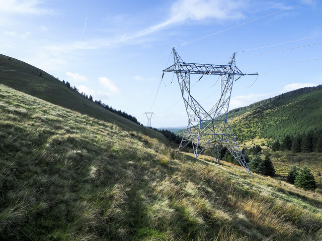
Blackberry Knowe is a picturesque hill located in Ayrshire, Scotland. Rising to a height of approximately 300 meters (984 feet), it is considered a prominent landmark in the region. The hill is situated near the village of Straiton, nestled within the rolling countryside of South Ayrshire.
Blackberry Knowe boasts stunning natural beauty, with its slopes covered in lush green vegetation. The name of the hill derives from the abundance of blackberry bushes that can be found on its lower slopes during the summer months. These bushes attract a variety of wildlife, including birds and small mammals, adding to the charm of the area.
The hill offers breathtaking panoramic views of the surrounding countryside, providing visitors with a perfect vantage point to admire the scenic beauty of Ayrshire. On clear days, one can see the distant peaks of the Galloway Hills to the south, while the Firth of Clyde glistens in the west.
Blackberry Knowe is a popular destination for outdoor enthusiasts, offering opportunities for hiking, walking, and nature exploration. There are well-maintained trails that meander through the hillside, allowing visitors to immerse themselves in the tranquility of the Scottish countryside. The hill's relatively moderate height makes it accessible to a wide range of fitness levels, making it an ideal spot for a leisurely stroll or a more challenging hike.
Overall, Blackberry Knowe in Ayrshire is a captivating natural landmark that combines stunning views, abundant wildlife, and outdoor recreational opportunities, making it a must-visit destination for nature lovers and hikers alike.
If you have any feedback on the listing, please let us know in the comments section below.
Blackberry Knowe Images
Images are sourced within 2km of 55.215757/-4.6534958 or Grid Reference NX3194. Thanks to Geograph Open Source API. All images are credited.


Blackberry Knowe is located at Grid Ref: NX3194 (Lat: 55.215757, Lng: -4.6534958)
Unitary Authority: South Ayrshire
Police Authority: Ayrshire
What 3 Words
///whisker.fond.delivers. Near Girvan, South Ayrshire
Nearby Locations
Related Wikis

Barr, Ayrshire
Barr is a village in the South West of Ayrshire, Scotland, approximately 8 miles (13 km) from the town of Girvan. There are various opinions as to the...

Hadyard Hill Wind Farm
Hadyard Hill Wind Farm is located in Carrick district of South Ayrshire. Costing £85 million, the wind farm consists of 52 three-bladed Siemens wind turbines...

Stinchar Falls
Stinchar Falls is a waterfall of Scotland. It is located on the Stinchar Burn, east of Barr in Ayrshire. == See also == Waterfalls of Scotland == References ==

South Ayrshire
South Ayrshire (Scots: Sooth Ayrshire; Scottish Gaelic: Siorrachd Àir a Deas, pronounced [ˈʃirˠəxk aːɾʲ ə ˈtʲes̪]) is one of thirty-two council areas of...
Have you been to Blackberry Knowe?
Leave your review of Blackberry Knowe below (or comments, questions and feedback).