Craig of Todholes
Hill, Mountain in Renfrewshire
Scotland
Craig of Todholes
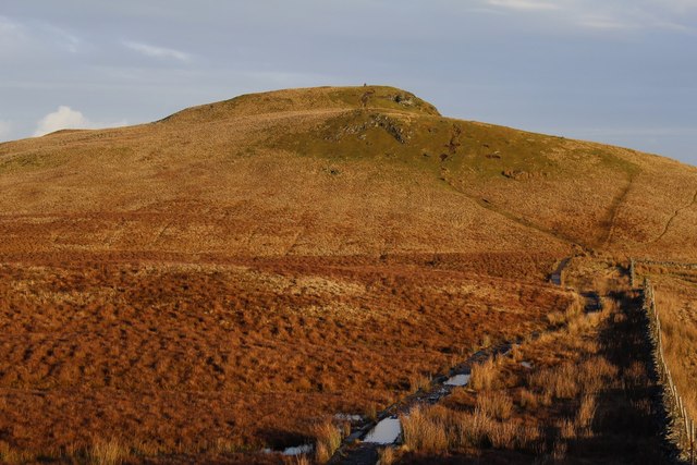
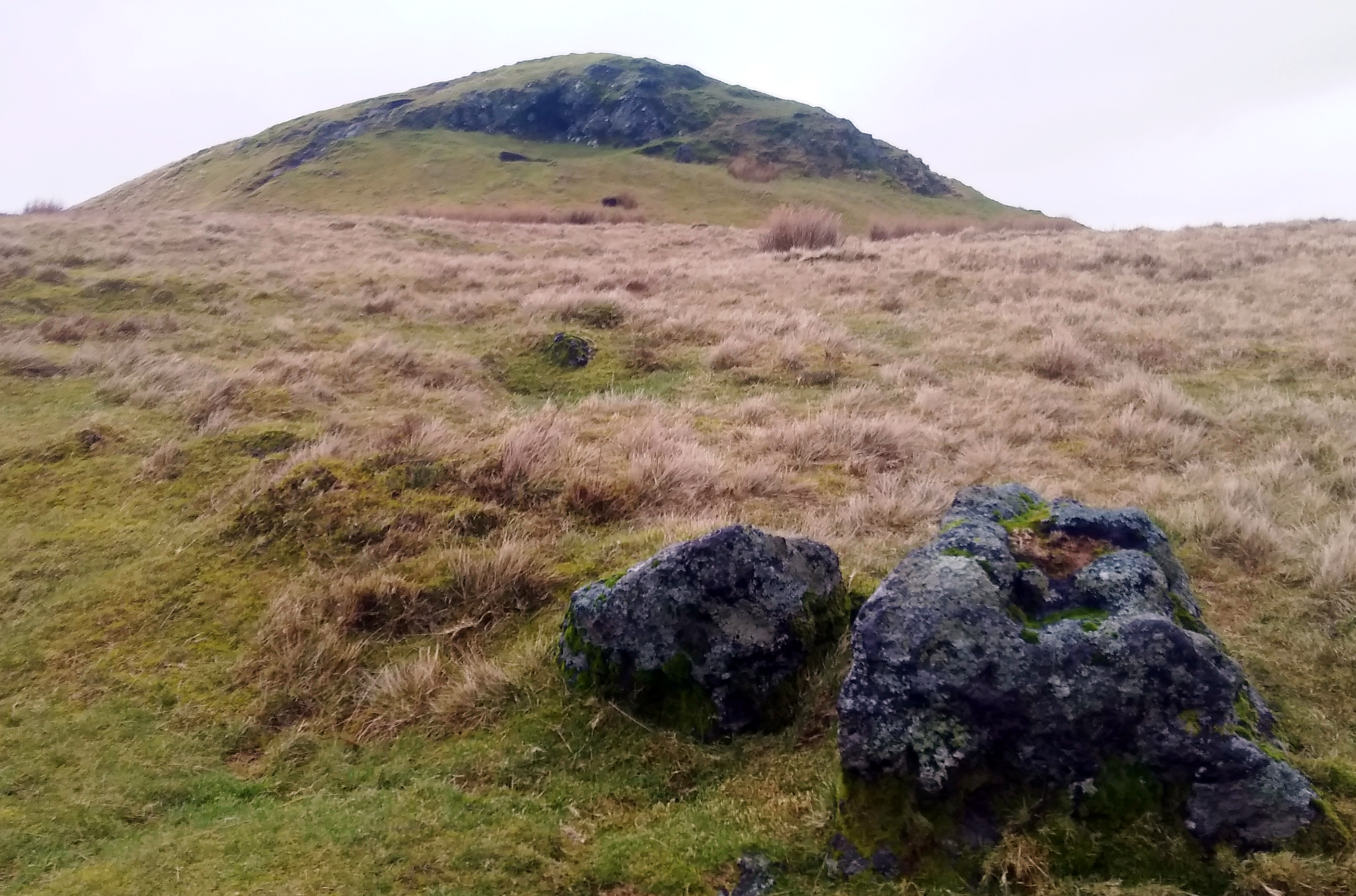
Craig of Todholes is a prominent hill located in the region of Renfrewshire, Scotland. Standing at an impressive height of approximately 418 meters (1371 feet), it is a popular destination for hikers and outdoor enthusiasts seeking picturesque views and a challenging climb.
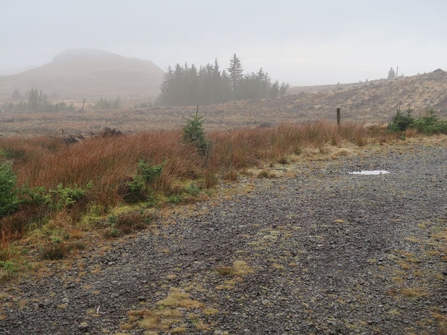
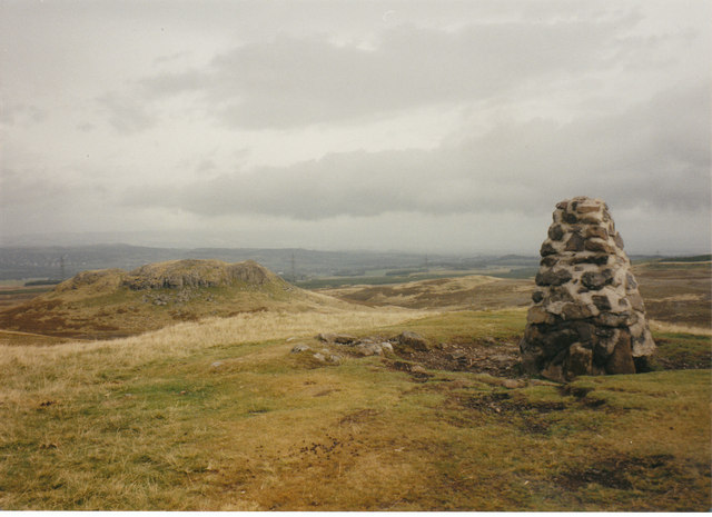
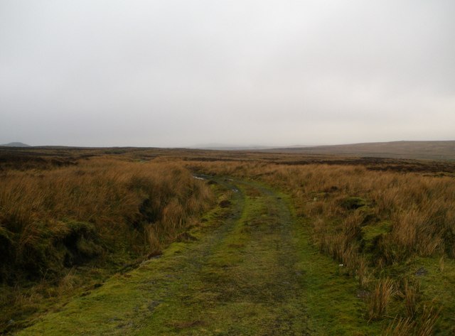
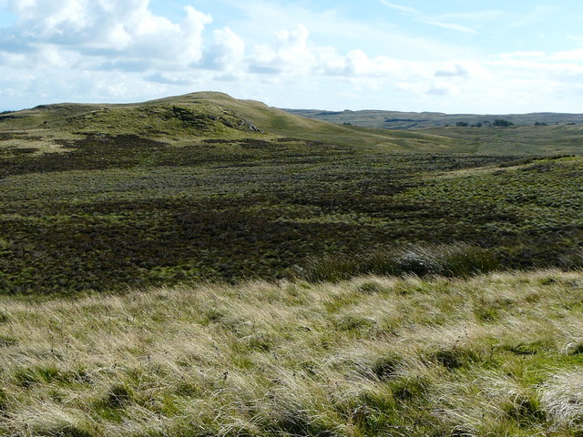
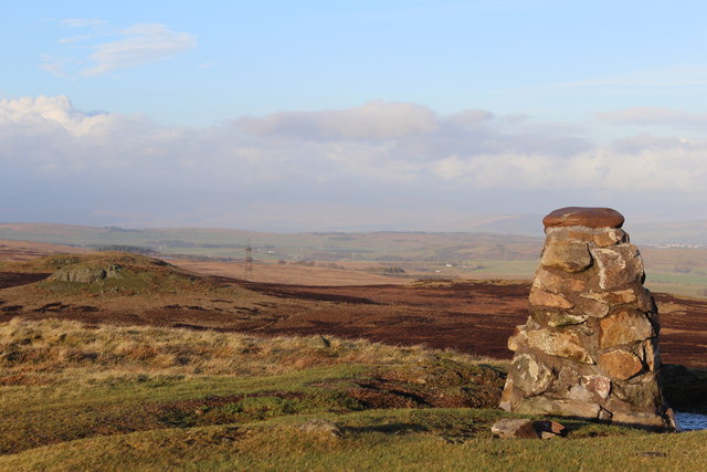
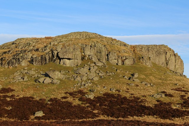
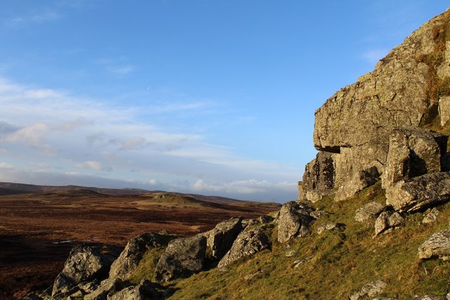
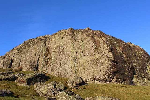
Situated within the scenic countryside, Craig of Todholes offers panoramic vistas of the surrounding landscape, including the neighboring hills and valleys. The hill is characterized by its rugged terrain, featuring steep slopes and rocky outcrops, which adds to the thrill of the ascent.
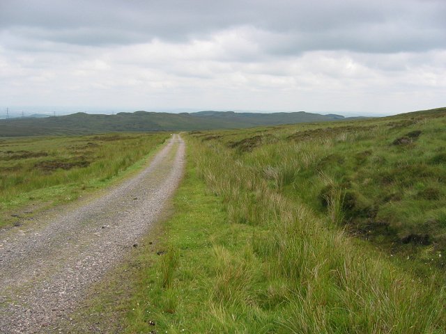
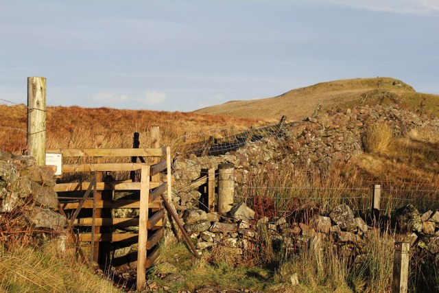
The hill is accessible via various routes, with some starting points located in nearby villages such as Howwood and Kilbarchan. The trails leading to the summit are well-maintained but can be demanding, requiring a moderate level of fitness and suitable hiking gear.
As climbers make their way up Craig of Todholes, they encounter a diverse range of flora and fauna, including heather, bracken, and a variety of bird species. The hill also boasts a rich history, with remnants of ancient settlements and structures scattered throughout its surroundings.
At the summit, visitors are rewarded with breathtaking views that stretch across the Renfrewshire countryside, showcasing the natural beauty of the area. On clear days, it is even possible to catch glimpses of the distant Arran Mountains and Ben Lomond.
Overall, Craig of Todholes is a captivating hill that offers an exhilarating hiking experience and stunning vistas, making it a must-visit destination for nature enthusiasts and those seeking an escape into Scotland's wild and rugged landscapes.
If you have any feedback on the listing, please let us know in the comments section below.
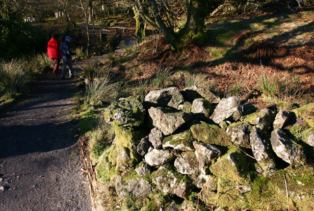
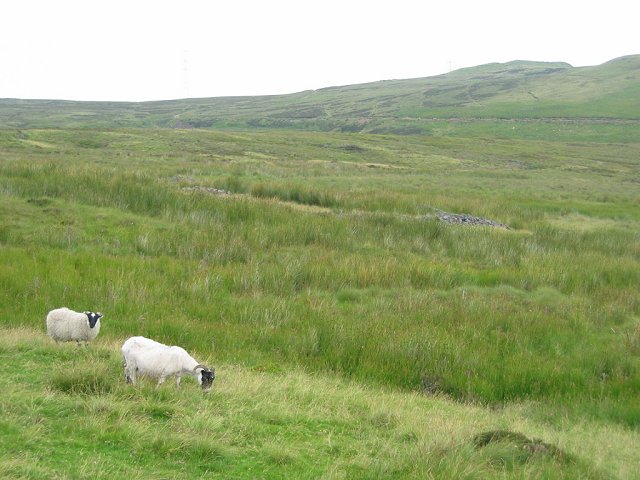
Craig of Todholes Images
Images are sourced within 2km of 55.847731/-4.6970271 or Grid Reference NS3164. Thanks to Geograph Open Source API. All images are credited.


Craig of Todholes is located at Grid Ref: NS3164 (Lat: 55.847731, Lng: -4.6970271)
Unitary Authority: Inverclyde
Police Authority: Renfrewshire and Inverclyde
What 3 Words
///milder.paths.deodorant. Near Kilmacolm, Inverclyde
Nearby Locations
Related Wikis
Windy Hill, Renfrewshire
Windy Hill is a 316 metres (1.037 feet) high hill in Renfrewshire, Scotland. It is one of the TuMPs of the Lowlands. == Geography == The hill is located...
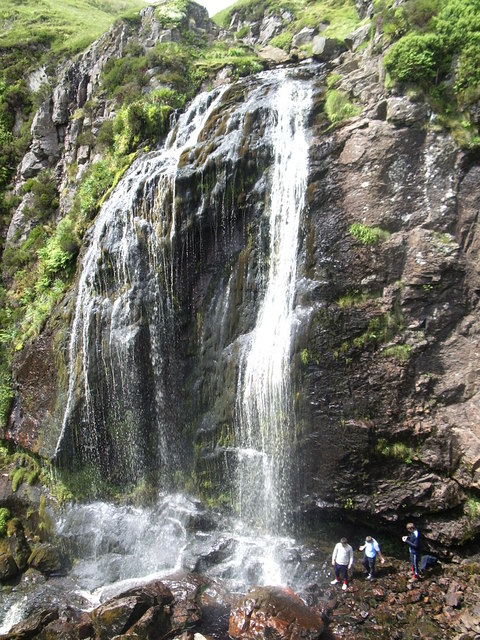
Spout of Garnock
The Spout of Garnock (or Garnock Spout) is a waterfall in Ayrshire, Scotland. At approximately 60–70 ft high, it is the county's highest waterfall. It...

Duchal House
Duchal House is an 18th-century mansion and estate near Kilmacolm, Scotland. It is located in Inverclyde, in the former county of Renfrewshire. Duchal...

Quarrier's Village
Quarrier's Village or Quarriers Village is a small settlement in the civil parish of Kilmacolm in Inverclyde council area and the historic county of Renfrewshire...

Hill of Stake
Hill of Stake is a hill on the boundary between North Ayrshire and Renfrewshire, Scotland. == Geography == The hill is 522 metres (1,713 feet) high and...

St Columba's School, Kilmacolm
St Columba's School is a 3–18 mixed private day school in Kilmacolm, Inverclyde, Scotland. It is split across two sites and is a member of the Headmasters...

Kilmacolm railway station
Kilmacolm railway station was a railway station serving the village of Kilmacolm, in the current council area of Inverclyde and the historic county of...

Nether Mill
Nether Mill or the Nethermiln of Kilbirnie was originally the Barony of Kilbirnie corn mill and later became a meal mill as well, located in the Parish...
Nearby Amenities
Located within 500m of 55.847731,-4.6970271Have you been to Craig of Todholes?
Leave your review of Craig of Todholes below (or comments, questions and feedback).