Bank Hill

Hill, Mountain in Wigtownshire

Scotland

Bank Hill

Rough grazing near Drummurrie Very rough grazing near Drummurrie favoured by only the hardiest of sheep. The  hill to the centre top is Culvennan Fell whilst the higher tops of The Galloway Hills can be seen in the background.
Rough grazing near Drummurrie Credit: Colin Kinnear

Bank Hill is a prominent hill located in Wigtownshire, Scotland. It is situated near the town of Wigtown and overlooks the surrounding countryside. The hill rises to an elevation of approximately 292 meters (958 feet) above sea level, making it a notable landmark in the area.

Bank Hill is known for its picturesque views of the surrounding landscape, including rolling green hills, farmland, and the nearby coastline. The hill is a popular destination for hikers and outdoor enthusiasts, offering a variety of walking trails and paths that lead to the summit.

At the top of Bank Hill, visitors are rewarded with stunning panoramic views of the surrounding area, including the town of Wigtown, the River Bladnoch, and the Galloway Forest Park in the distance. On a clear day, it is possible to see as far as the Isle of Man and the Irish Sea.

Overall, Bank Hill is a scenic and peaceful location that offers visitors the opportunity to experience the natural beauty of Wigtownshire and the surrounding countryside.

If you have any feedback on the listing, please let us know in the comments section below.
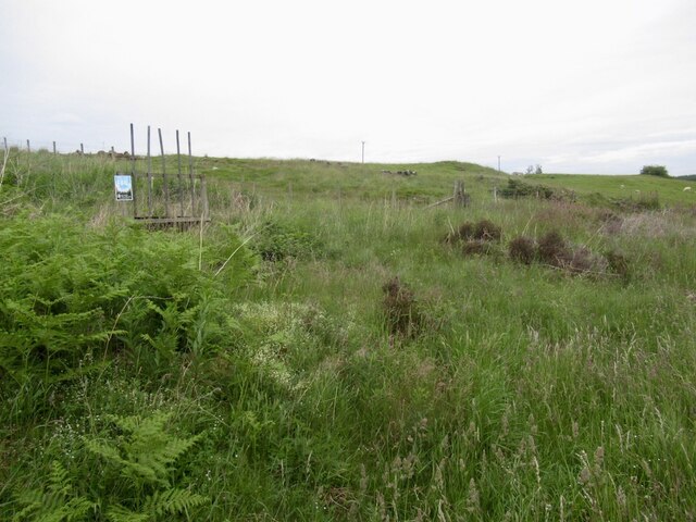
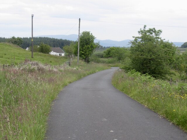
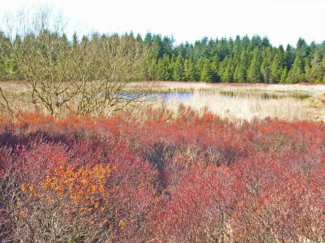
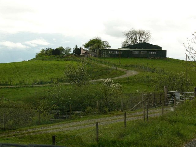
Bank Hill Images

Images are sourced within 2km of 54.955468/-4.6515197 or Grid Reference NX3065. Thanks to Geograph Open Source API. All images are credited.

Rough grazing near Drummurrie Very rough grazing near Drummurrie favoured by only the hardiest of sheep. The  hill to the centre top is Culvennan Fell whilst the higher tops of The Galloway Hills can be seen in the background.
Rough grazing near Drummurrie
Very rough grazing near Drummurrie favoured by only the hardiest of sheep. The hill to the centre top is Culvennan Fell whilst the higher tops of The Galloway Hills can be seen in the background.
Forestry, Balminnoch to Glassoch Bridge road Once moorland with a small plantation, this is now part of a huge conifer forest.
Forestry, Balminnoch to Glassoch Bridge road
Once moorland with a small plantation, this is now part of a huge conifer forest.
War on parking This sort of thing is thankfully less common in Galloway than say the Highlands, especially Perthshire. Someone has paid money to block off the layby built for windfarm construction traffic. There are no dangerous bends nearby.
War on parking
This sort of thing is thankfully less common in Galloway than say the Highlands, especially Perthshire. Someone has paid money to block off the layby built for windfarm construction traffic. There are no dangerous bends nearby.
Rough grazing near Upper Bridge A gap in the forestry.
Rough grazing near Upper Bridge
A gap in the forestry.
Drumnabrennan A farm deep in the forestry.
Drumnabrennan
A farm deep in the forestry.
Forest edge, Drumnabrennan
Road passing Drumnabrennan Heading for Glassoch Bridge.
Road passing Drumnabrennan
Heading for Glassoch Bridge.
Forest pond A forest pond tucked behind Dirnow Schoolhouse
Forest pond
A forest pond tucked behind Dirnow Schoolhouse
The Old Schoolhouse at Dirnow Now heavily modernised with Velux windows outside and no doubt all sorts of mod cons inside. See also the later Dirnow schoolhouse at <a href="https://www.geograph.org.uk/gridref/NX2966">NX2966</a>
The Old Schoolhouse at Dirnow
Now heavily modernised with Velux windows outside and no doubt all sorts of mod cons inside. See also the later Dirnow schoolhouse at NX2966
Moorland road at Culvennan On the road from Dirnow to Kirkcowan
Moorland road at Culvennan
On the road from Dirnow to Kirkcowan
Barn at West Culvennan The hills round Glentrool in the distance
Barn at West Culvennan
The hills round Glentrool in the distance
Dirnow Schoolhouse Needless to say, no longer functioning as a school in such a remote location. See also the even older schoolhouse at <a href="https://www.geograph.org.uk/gridref/NX2866">NX2866</a>
Dirnow Schoolhouse
Needless to say, no longer functioning as a school in such a remote location. See also the even older schoolhouse at NX2866
Drumabrennan Farm
Drumabrennan Farm
Ruined house at West Culvennan This was the house of Mrs Johnston, who died in 1947 in the snow, on her way back home from getting her shopping in Kirkcowan. (See <a href="https://www.geograph.org.uk/photo/420161">NX3162 : Mrs Johnstons Tree</a>)
Ruined house at West Culvennan
This was the house of Mrs Johnston, who died in 1947 in the snow, on her way back home from getting her shopping in Kirkcowan. (See NX3162 : Mrs Johnstons Tree)
West Culvennan from the Gargrie Mrs Johnstons cottage (see <a href="https://www.geograph.org.uk/photo/420161">NX3162 : Mrs Johnstons Tree</a>) just to the left of centre.
West Culvennan from the Gargrie
Mrs Johnstons cottage (see NX3162 : Mrs Johnstons Tree) just to the left of centre.
Last cut of the year This is probably the final silage cut for this summer.
Last cut of the year
This is probably the final silage cut for this summer.
Cattle grid on the Gargrie Gargrie was a farm situated on this road just where it starts to climb the hill. Although the farm is now gone with no visible remains, the winding road over the hill is still known as the Gargrie.
Cattle grid on the Gargrie
Gargrie was a farm situated on this road just where it starts to climb the hill. Although the farm is now gone with no visible remains, the winding road over the hill is still known as the Gargrie.
The Gargrie Named after a now vanished farm, the moorland road snaking over the moor between Kirkcowan and Dirnow is known locally as the Gargrie.
The Gargrie
Named after a now vanished farm, the moorland road snaking over the moor between Kirkcowan and Dirnow is known locally as the Gargrie.
Show me another place!

Bank Hill is located at Grid Ref: NX3065 (Lat: 54.955468, Lng: -4.6515197)

Unitary Authority: Dumfries and Galloway

Police Authority: Dumfries and Galloway

What 3 Words

///rephrase.carpets.tickets. Near Newton Stewart, Dumfries & Galloway

Nearby Locations

Bank Hill

Related Wikis

Tarf Water, Wigtownshire

The Tarf Water is a river in the former county of Wigtownshire in south-west Scotland. It rises on the Ayrshire border (55.0048°N 4.7815°W / 55.0048;...

Kirkcowan railway station

Kirkcowan railway station served the village of Kirkcowan, Dumfries and Galloway, Scotland from 1861 to 1965 on the Portpatrick and Wigtownshire Joint...

Kirkcowan

Kirkcowan is an area about 15 miles in length, and from nearly two to nearly seven miles in breadth, comprising 30,580 acres, of which 7000 are arable...

Barhapple Loch

Barhapple Loch is a small semicircular freshwater loch located in Wigtownshire, Dumfries and Galloway in Scotland. Barhapple Loch is principally known...

Nearby Amenities

Located within 500m of 54.955468,-4.6515197
Power: pole
Lat/Long: 54.9555131/-4.6445845
Power: pole
Lat/Long: 54.9551945/-4.6452577
Power: pole
Lat/Long: 54.9547288/-4.6463016
Power: pole
Lat/Long: 54.9542821/-4.6472794
Power: pole
Lat/Long: 54.9538442/-4.6488529
Power: pole
Lat/Long: 54.9536983/-4.6495882
Power: pole
Lat/Long: 54.9535674/-4.6506359
Power: pole
Lat/Long: 54.953447/-4.6516933
Power: pole
Lat/Long: 54.9533434/-4.6526906
Power: pole
Lat/Long: 54.9532287/-4.6536684
Power: pole
Lat/Long: 54.9531161/-4.654623
Power: pole
Lat/Long: 54.9529624/-4.6558841
Power: pole
Lat/Long: 54.9528565/-4.6568523
The data included in this document is from www.openstreetmap.org. The data is made available under ODbL.

Have you been to Bank Hill?

Leave your review of Bank Hill below (or comments, questions and feedback).