Brough Hill
Hill, Mountain in Ayrshire
Scotland
Brough Hill
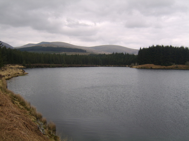
Brough Hill is a prominent hill located in the Ayrshire region of Scotland. Standing at an elevation of approximately 200 meters (656 feet), it offers stunning views of the surrounding countryside and is a popular destination for hikers and nature enthusiasts.
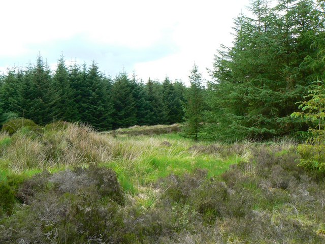
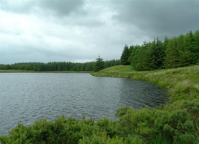
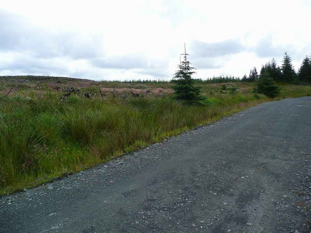
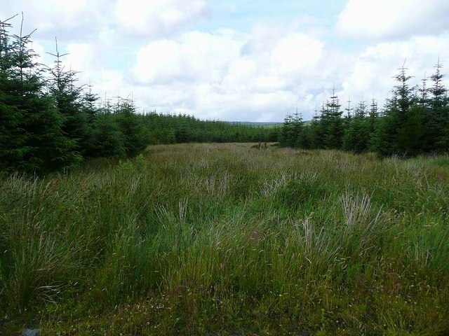
Situated near the town of Maybole, Brough Hill is known for its rugged terrain and diverse flora and fauna. The hill is covered with a mix of grasslands, heather moorland, and patches of woodland, providing a habitat for various species of birds, small mammals, and insects.
At the summit of Brough Hill, there is a trig point, which serves as a navigational feature and offers panoramic vistas of the surrounding area, including the Ayrshire coastline and the nearby hills of Carrick.
The hill also has historical significance, as it is believed to have been a site of human activity since ancient times. Archaeological remains, including Iron Age fortifications and burial mounds, have been discovered on Brough Hill, indicating its long-standing importance as a strategic location and a place of settlement.
Access to Brough Hill is relatively easy, with a well-marked path leading up to the summit. The hill is a popular spot for walkers, who can enjoy a leisurely stroll or a more challenging hike, depending on their preference and fitness level.
Overall, Brough Hill offers a unique blend of natural beauty, historical significance, and recreational opportunities, making it a must-visit destination for those exploring the Ayrshire region.
If you have any feedback on the listing, please let us know in the comments section below.
Brough Hill Images
Images are sourced within 2km of 55.110578/-4.6627771 or Grid Reference NX3082. Thanks to Geograph Open Source API. All images are credited.


Brough Hill is located at Grid Ref: NX3082 (Lat: 55.110578, Lng: -4.6627771)
Unitary Authority: South Ayrshire
Police Authority: Ayrshire
What 3 Words
///limitless.bleaching.primary. Near Girvan, South Ayrshire
Nearby Locations
Related Wikis

Cairnderry chambered cairn
Cairnderry chambered cairn is a chambered cairn in Dumfries and Galloway. It is a Bargrennan cairn, a type of Neolithic or early Bronze Age monument only...

Loch Dornal
Loch Dornal is an irregular shaped, shallow, freshwater loch in south Ayrshire, in the Southern Uplands of Scotland. It lies approximately eight miles...

Barrhill, South Ayrshire
Barrhill (Scots: Baurhill) is a village in South Ayrshire, Scotland with a population of approximately 400 in 2001.While the surrounding area is predominantly...
Kirriereoch Loch
Kirriereoch Loch is a small, shallow, square shaped, freshwater loch in Dumfries and Galloway, in the Southern Uplands of south-west Scotland. It lies...
Have you been to Brough Hill?
Leave your review of Brough Hill below (or comments, questions and feedback).