Bower Hill

Hill, Mountain in Ayrshire

Scotland

Bower Hill

Kyleston A farm park, complete with a dromedary. Handily placed next door to a holiday camp.
Kyleston Credit: Richard Webb

Bower Hill is a prominent hill located in Ayrshire, Scotland. Situated in the southwestern part of the country, it is part of the scenic landscape that characterizes the region. The hill has an elevation of approximately 442 meters (1,450 feet) above sea level, making it a notable landmark in the area.

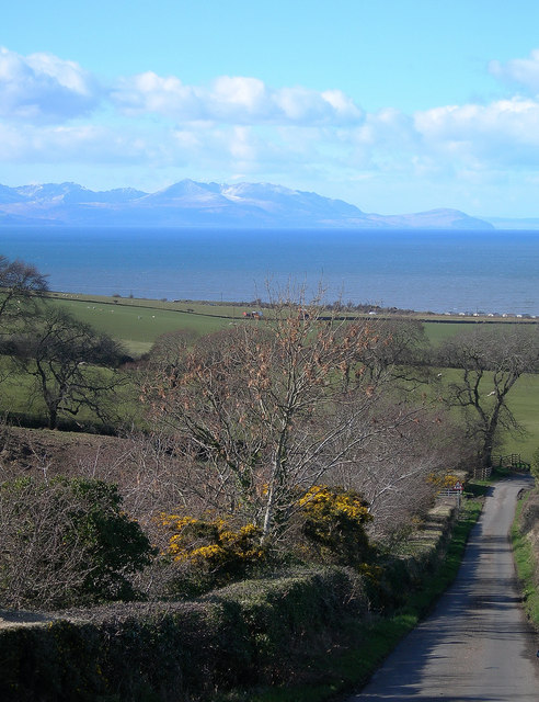
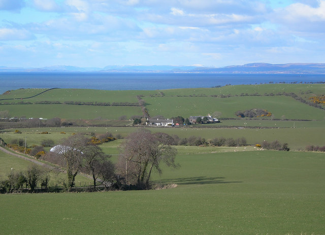
Bower Hill is a popular destination for outdoor enthusiasts, hikers, and nature lovers. The hill offers stunning panoramic views of the surrounding countryside, with its rolling hills, lush greenery, and charming villages. On a clear day, it is possible to see as far as the Ailsa Craig, an iconic island in the Firth of Clyde.

The hill is easily accessible, with various walking trails and paths leading to its summit. These trails cater to different levels of difficulty, ensuring that visitors of all ages and fitness levels can enjoy the experience. Along the way, hikers can admire the diverse flora and fauna that thrive in this natural habitat.

Bower Hill is also steeped in history. It is believed that the hill was once used as a site for fortifications during ancient times. Numerous archaeological remains have been discovered in the area, including ancient burial sites and artifacts, adding to its historical significance.

Overall, Bower Hill in Ayrshire offers a perfect blend of natural beauty, recreational opportunities, and historical significance. It is a must-visit destination for those seeking to explore the natural wonders of Scotland's countryside.

If you have any feedback on the listing, please let us know in the comments section below.
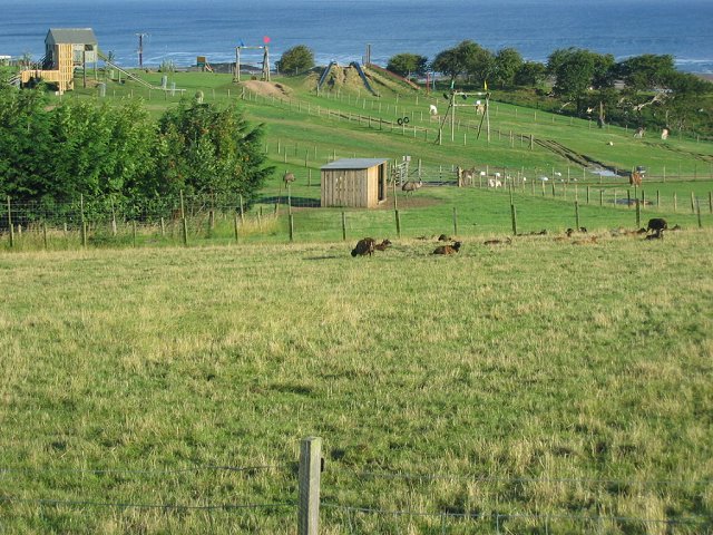
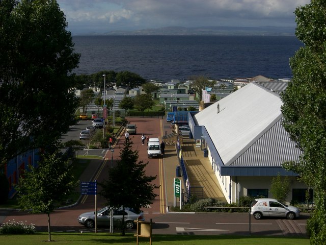
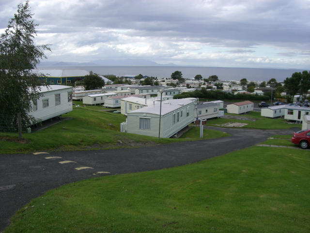
Bower Hill Images

Images are sourced within 2km of 55.432229/-4.7032447 or Grid Reference NS2918. Thanks to Geograph Open Source API. All images are credited.

Kyleston A farm park, complete with a dromedary. Handily placed next door to a holiday camp.
Kyleston
A farm park, complete with a dromedary. Handily placed next door to a holiday camp.
Craig Tara holiday park, nr. Ayr The majority of the land usage in square NS3018 is the Haven Craig Tara holiday park, the successor to Butlins Ayr. The building on the right is the main reception building.
Craig Tara holiday park, nr. Ayr
The majority of the land usage in square NS3018 is the Haven Craig Tara holiday park, the successor to Butlins Ayr. The building on the right is the main reception building.
Caravans at Craig Tara holiday park, nr. Ayr Most of the old chalets on this former Butlins site have now gone, replaced by caravans forming the current "Haven" site. Some buildings have been retained - that visible in the left middle distance is the old dining hall still in use as a restaurant facility.
Caravans at Craig Tara holiday park, nr. Ayr
Most of the old chalets on this former Butlins site have now gone, replaced by caravans forming the current "Haven" site. Some buildings have been retained - that visible in the left middle distance is the old dining hall still in use as a restaurant facility.
Heads of Ayr Heads of Ayr, viewed from the paddle steamer Waverley, showing Craig Tara holiday village in the background.  The headland is an ancient volcanic plug.
Heads of Ayr
Heads of Ayr, viewed from the paddle steamer Waverley, showing Craig Tara holiday village in the background. The headland is an ancient volcanic plug.
Bracken Bay and Heads of Ayr Viewed from the paddle steamer Waverley, with Ayr in the far distance.
Bracken Bay and Heads of Ayr
Viewed from the paddle steamer Waverley, with Ayr in the far distance.
View from Lagg Looking from the coast road, across the farmland and the old railway line, to the Firth of Clyde at Bracken Bay.  Arran is clear in the background.
View from Lagg
Looking from the coast road, across the farmland and the old railway line, to the Firth of Clyde at Bracken Bay. Arran is clear in the background.
Clifftop at Bracken Bay The edge of the farmland before the steep drop to the Firth of Clyde.  Arran is clear in the background.
Clifftop at Bracken Bay
The edge of the farmland before the steep drop to the Firth of Clyde. Arran is clear in the background.
Heads of Ayr Looking NE along Bracken Bay towards the Heads of Ayr, which is a volcanic plug.
Heads of Ayr
Looking NE along Bracken Bay towards the Heads of Ayr, which is a volcanic plug.
Fields and Caravans Looking along the edge of the old railway line, south of the Heads of Ayr.
Fields and Caravans
Looking along the edge of the old railway line, south of the Heads of Ayr.
Goat Fell View Looking across the Firth of Clyde towards Goat Fell from the Brown Carrick Hill Road on a glorious March afternoon.
Goat Fell View
Looking across the Firth of Clyde towards Goat Fell from the Brown Carrick Hill Road on a glorious March afternoon.
Largs and Largs Largs Farm is in the middle distance.  The air was so clear that it was nearly possible to see the town of Largs, in North Ayrshire.  Snow-covered highland mountains are visible on the skyline.
Largs and Largs
Largs Farm is in the middle distance. The air was so clear that it was nearly possible to see the town of Largs, in North Ayrshire. Snow-covered highland mountains are visible on the skyline.
Coastal Farmland Fields at Spring Garden, with the sharp cliff of Bower Hill on the left and Arran on the skyline.
Coastal Farmland
Fields at Spring Garden, with the sharp cliff of Bower Hill on the left and Arran on the skyline.
Deil's Dyke
Deil's Dyke
Shore Ploughing! Unusual activity. It could be the farmer was setting his plough. Greenan Castle in background.
Shore Ploughing!
Unusual activity. It could be the farmer was setting his plough. Greenan Castle in background.
Shore at Heads of Ayr. Looking from headland at Deil's Dyke.
Shore at Heads of Ayr.
Looking from headland at Deil's Dyke.
Deil's Dyke Headland Greenan Castle in background.
Deil's Dyke Headland
Greenan Castle in background.
Largs This is not an active farm nowadays.
Largs
This is not an active farm nowadays.
Grazing Land Sheep grazing on rich farmland at Perryston, just to the south-west of Ayr.
Grazing Land
Sheep grazing on rich farmland at Perryston, just to the south-west of Ayr.
Show me another place!

Bower Hill is located at Grid Ref: NS2918 (Lat: 55.432229, Lng: -4.7032447)

Unitary Authority: South Ayrshire

Police Authority: Ayrshire

What 3 Words

///toolbar.airbag.prowling. Near Ayr, South Ayrshire

Nearby Locations

Bower Hill

Related Wikis

Heads of Ayr railway station

Heads of Ayr railway station was a railway station serving the Heads of Ayr, South Ayrshire, Scotland. The station was part of the Maidens and Dunure Light...

Craig Tara

Craig Tara is a holiday camp located near Ayr in South Ayrshire, Scotland. It is run by Haven Holidays, who took over and renamed the former Butlin's Ayr...

Butlin's Ayr

Butlin's Ayr was a holiday camp located near Ayr in South Ayrshire, Scotland. When originally opened in 1946, it was named Butlin's Ayr, but in 1987 was...

Heads of Ayr Holiday Camp railway station

Heads of Ayr Holiday Camp railway station was a railway station serving the holiday camp and hotel at Heads of Ayr, South Ayrshire, Scotland. The station...

Have you been to Bower Hill?

Leave your review of Bower Hill below (or comments, questions and feedback).