Highroad Well Moor
Settlement in Yorkshire
England
Highroad Well Moor

Highroad Well Moor is a captivating and picturesque area located in the county of Yorkshire, England. Nestled amidst the beautiful landscapes of the Pennines, it is a renowned destination for outdoor enthusiasts and nature lovers alike. Stretching over a vast expanse of rolling hills and moorland, the moor offers breathtaking panoramic views that leave visitors in awe.
The moor is home to an array of wildlife, including various species of birds, such as curlews and lapwings, which can often be spotted soaring through the skies. The abundance of heather and wildflowers creates a colorful and vibrant tapestry across the moor, making it a sight to behold, especially during the blooming season.
Traversing Highroad Well Moor, visitors can explore numerous walking trails that wind their way through the rugged terrain. These paths lead adventurers to hidden gems, such as ancient stone circles and burial mounds, which provide a glimpse into the area's rich history and heritage.
For those seeking a more leisurely experience, the moor offers ample space for picnicking and relaxation, allowing visitors to soak up the tranquil atmosphere and admire the stunning surroundings. The area is also a popular spot for photography enthusiasts, who can capture the raw beauty of the moor in all its glory.
Highroad Well Moor truly encapsulates the essence of Yorkshire's natural beauty. Its captivating landscapes, diverse wildlife, and rich history combine to create a haven for exploration and appreciation of the great outdoors.
If you have any feedback on the listing, please let us know in the comments section below.
Highroad Well Moor Images
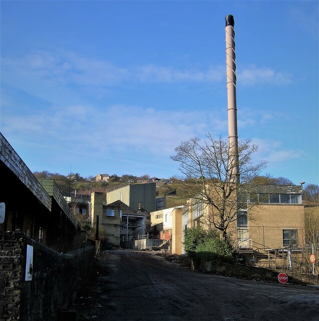
Images are sourced within 2km of 53.730363/-1.910534 or Grid Reference SE0626. Thanks to Geograph Open Source API. All images are credited.


Highroad Well Moor is located at Grid Ref: SE0626 (Lat: 53.730363, Lng: -1.910534)
Division: West Riding
Unitary Authority: Calderdale
Police Authority: West Yorkshire
What 3 Words
///scale.venues.fruit. Near Sowerby Bridge, West Yorkshire
Nearby Locations
Related Wikis

Fountainhead Village
Fountainhead is a hamlet in Calderdale, West Yorkshire, England, built on the old site of the Webster's Brewery at the turn of the 21st century. It is...
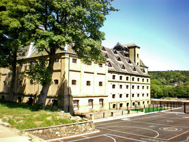
The Maltings College
The Maltings College is a free school sixth form in Fountainhead, near Halifax, West Yorkshire, England. Established in 2013, The Maltings College is located...
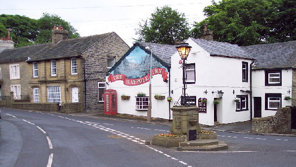
Warley Town
Warley Town is a settlement near Halifax, in the Calderdale district, in the county of West Yorkshire, England. Warley is a ward of Calderdale. The population...
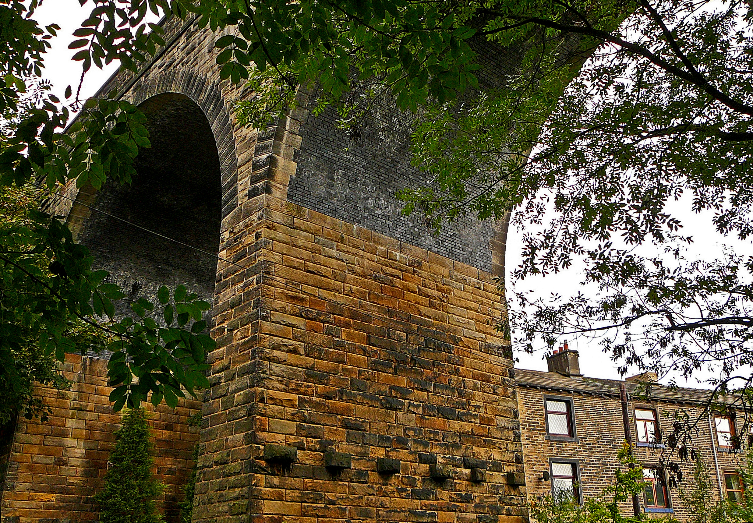
Wheatley Viaduct
Wheatley Viaduct is a former railway bridge straddling the Hebble Brook on the northern side of Halifax, in West Yorkshire, England. The ten-arch viaduct...
Nearby Amenities
Located within 500m of 53.730363,-1.910534Have you been to Highroad Well Moor?
Leave your review of Highroad Well Moor below (or comments, questions and feedback).