Bought Hill
Hill, Mountain in Wigtownshire
Scotland
Bought Hill

Bought Hill, located in Wigtownshire, is a prominent hill/mountain that stands at an approximate height of 228 meters (748 feet) above sea level. Situated in the southwestern region of Scotland, Bought Hill offers breathtaking views of the surrounding countryside and the neighboring towns of Newton Stewart and Minnigaff.
The hill is primarily composed of granite, which gives it a distinctive reddish-brown color. Its slopes are covered in a mix of grasses, heather, and scattered trees, providing a diverse habitat for various plant and animal species. The hill is also home to a variety of bird species, including red grouse, kestrels, and buzzards.
Bought Hill has long been a popular destination for outdoor enthusiasts, hikers, and nature lovers. It offers several walking trails and paths that cater to different levels of difficulty. The most common route to the summit starts from the nearby town of Minnigaff and takes approximately 2-3 hours to complete. The panoramic views from the top are well worth the effort, showcasing the stunning landscape of Wigtownshire and the scenic coastline of the Solway Firth.
The hill has historical significance as well, with evidence of ancient settlements and burial sites found in its vicinity. It is believed that Bought Hill was once used as a lookout point during conflicts and has witnessed various periods of human activity throughout history.
In summary, Bought Hill in Wigtownshire is a picturesque hill/mountain that offers stunning views, diverse flora and fauna, and a range of outdoor activities for visitors to enjoy. Its natural beauty and historical significance make it a must-visit destination for those exploring the scenic wonders of southwestern Scotland.
If you have any feedback on the listing, please let us know in the comments section below.
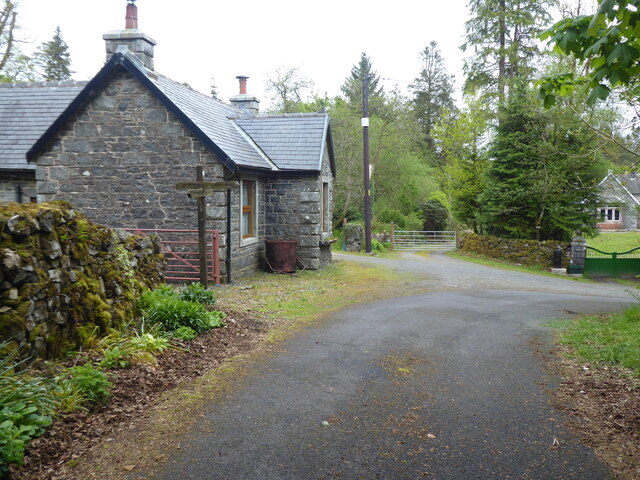
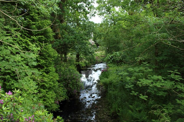
Bought Hill Images
Images are sourced within 2km of 55.009011/-4.709361 or Grid Reference NX2671. Thanks to Geograph Open Source API. All images are credited.


Bought Hill is located at Grid Ref: NX2671 (Lat: 55.009011, Lng: -4.709361)
Unitary Authority: Dumfries and Galloway
Police Authority: Dumfries and Galloway
What 3 Words
///filed.instincts.imprinted. Near Newton Stewart, Dumfries & Galloway
Nearby Locations
Related Wikis

Loch Dornal
Loch Dornal is an irregular shaped, shallow, freshwater loch in south Ayrshire, in the Southern Uplands of Scotland. It lies approximately eight miles...

Kilgallioch
Kilgallioch Wind Farm is a 96 turbine wind farm in South Ayrshire, Scotland with a total capacity of up to 239 megawatts (MW). Consent granted by the Scottish...

Tarf Water, Wigtownshire
The Tarf Water is a river in the former county of Wigtownshire in south-west Scotland. It rises on the Ayrshire border (55.0048°N 4.7815°W / 55.0048;...

Bargrennan
Bargrennan (Scottish Gaelic: Bar Grianain, meaning height of the summer house or sunny spot) is a village in Dumfries and Galloway, in the south west of...
Have you been to Bought Hill?
Leave your review of Bought Hill below (or comments, questions and feedback).