Auchensoul Hill
Hill, Mountain in Ayrshire
Scotland
Auchensoul Hill
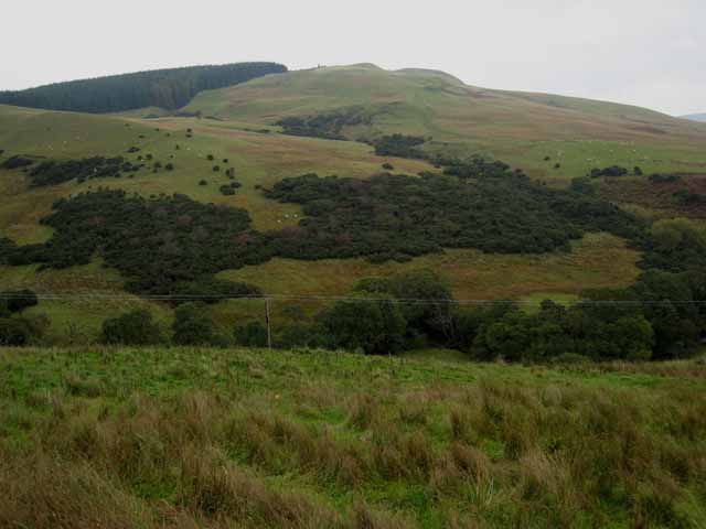
Auchensoul Hill is a prominent hill located in Ayrshire, Scotland. It lies around 5 miles east of the town of Cumnock and is part of the Southern Uplands. With an elevation of 1,371 feet (418 meters), Auchensoul Hill is a notable feature in the surrounding landscape.
The hill is predominantly covered in heather moorland, interspersed with patches of woodland and grassy slopes. It offers breathtaking panoramic views of the surrounding countryside, including the rolling hills and valleys of Ayrshire. On a clear day, it is possible to see as far as the Firth of Clyde and the Isle of Arran to the west.
Auchensoul Hill is a popular destination for outdoor enthusiasts and nature lovers. It offers various walking and hiking trails, allowing visitors to experience its natural beauty up close. The hill is also home to a diverse range of flora and fauna, including birds of prey such as peregrine falcons and kestrels.
In addition to its natural attractions, Auchensoul Hill has historical significance. It is believed to have ancient burial cairns dating back to the Bronze Age, offering insights into the area's early human settlement. The hill also played a role in the local mining industry, with evidence of coal mining activities in the past.
Overall, Auchensoul Hill presents a captivating blend of natural beauty, recreational opportunities, and historical significance, making it a must-visit destination for both locals and tourists in Ayrshire.
If you have any feedback on the listing, please let us know in the comments section below.
Auchensoul Hill Images
Images are sourced within 2km of 55.214578/-4.7304722 or Grid Reference NX2694. Thanks to Geograph Open Source API. All images are credited.


Auchensoul Hill is located at Grid Ref: NX2694 (Lat: 55.214578, Lng: -4.7304722)
Unitary Authority: South Ayrshire
Police Authority: Ayrshire
What 3 Words
///secure.blacked.typified. Near Girvan, South Ayrshire
Nearby Locations
Related Wikis

Barr, Ayrshire
Barr is a village in the South West of Ayrshire, Scotland, approximately 8 miles (13 km) from the town of Girvan. There are various opinions as to the...

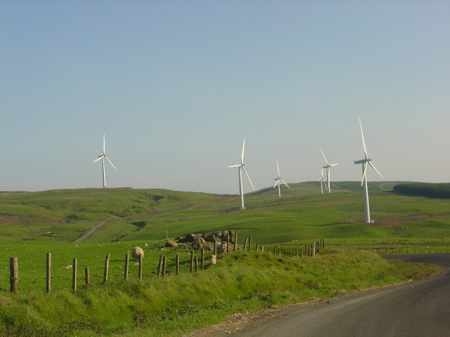
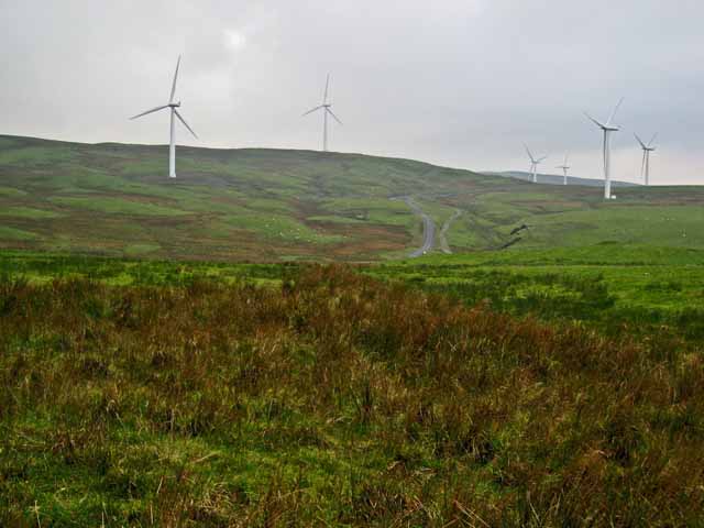
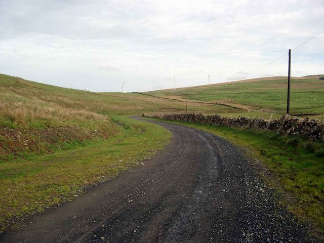
Hadyard Hill Wind Farm
Hadyard Hill Wind Farm is located in Carrick district of South Ayrshire. Costing £85 million, the wind farm consists of 52 three-bladed Siemens wind turbines...
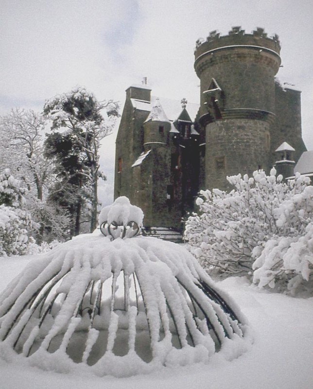
Penkill Castle
Penkill Castle is a 16th-century castle with later additions. It is around 1⁄2 mile (800 metres) south of Old Dailly, northeast of Girvan in south Ayrshire...
Old Dailly
Old Dailly is a hamlet in South Ayrshire, Scotland. It is located west of Dailly (or "New Dailly"). The Charter or Blue stones of Old Dailly in Ayrshire...
Nearby Amenities
Located within 500m of 55.214578,-4.7304722Have you been to Auchensoul Hill?
Leave your review of Auchensoul Hill below (or comments, questions and feedback).