An Soutar
Hill, Mountain in Inverness-shire
Scotland
An Soutar

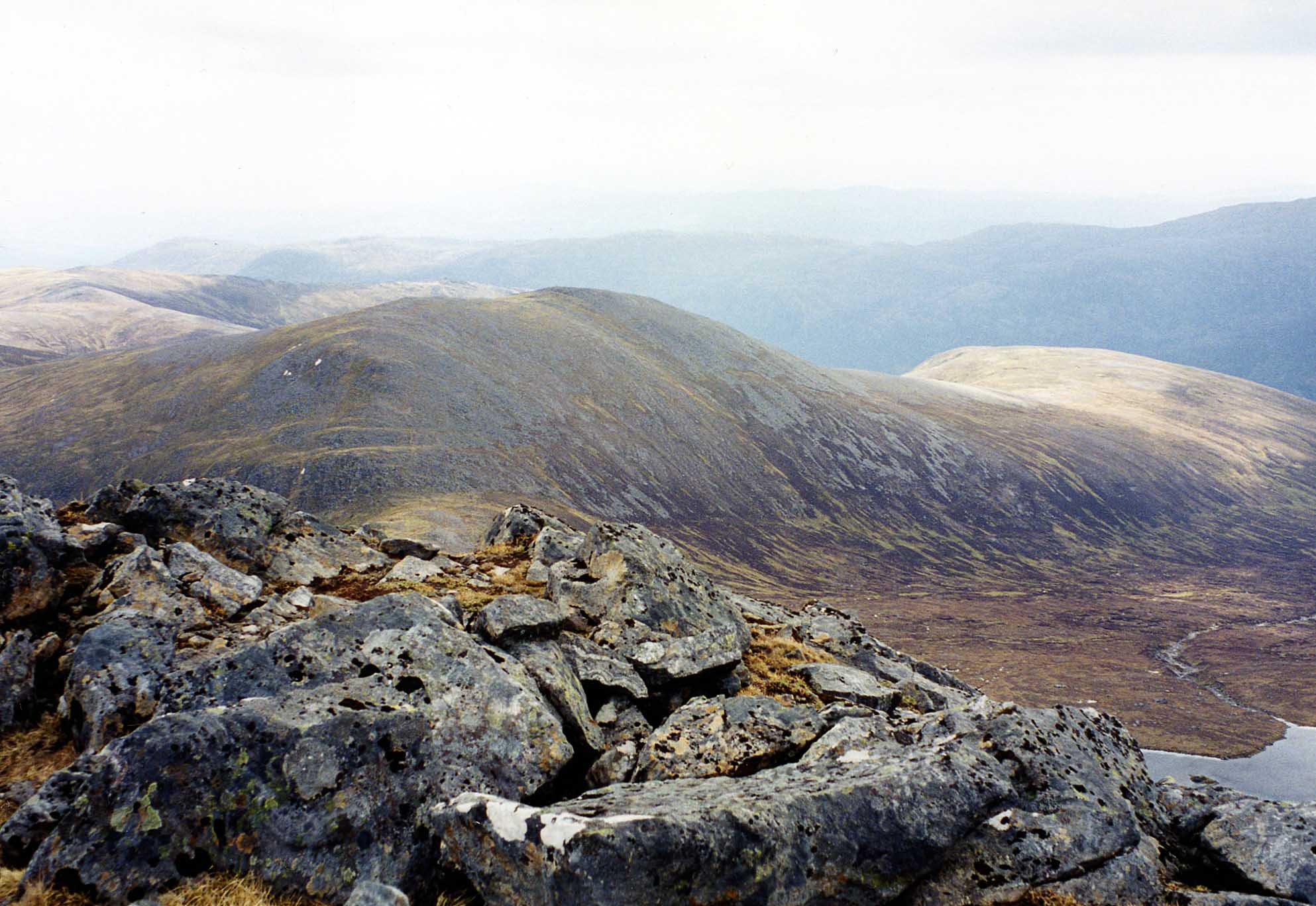
An Soutar is a prominent hill located in Inverness-shire, Scotland. It is situated in the beautiful Scottish Highlands, offering breathtaking panoramic views of the surrounding landscape. With an elevation of approximately 1,355 feet (413 meters), An Soutar is classified as a hill rather than a mountain.
The hill features a gentle slope, making it accessible to hikers and outdoor enthusiasts of various skill levels. Its well-defined path and clear signage make it a popular destination for those seeking a moderate hike with rewarding views. The ascent to the summit typically takes around one to two hours, depending on the pace of the hiker.
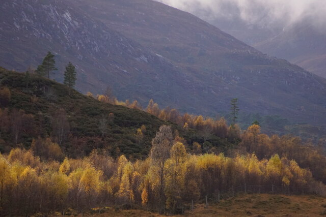
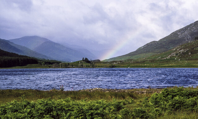
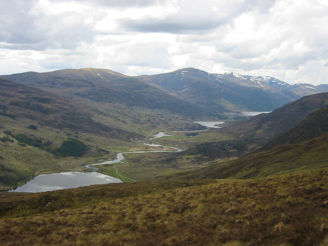
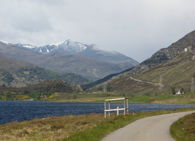
The summit of An Soutar grants visitors stunning vistas of the surrounding countryside, including rolling hills, expansive moorlands, and distant lochs. On clear days, it is even possible to catch a glimpse of the iconic Ben Nevis, the highest mountain in the British Isles.
The hill is home to a diverse range of flora and fauna, with heather, moss, and wildflowers dotting its slopes. Wildlife enthusiasts may be lucky enough to spot red deer, mountain hares, or various bird species during their ascent.
An Soutar offers a tranquil and picturesque escape from the bustling city life, providing an opportunity for visitors to immerse themselves in the natural beauty of the Scottish Highlands. Whether seeking a peaceful hike or a stunning vantage point for photography, An Soutar is a must-visit destination for nature lovers and outdoor enthusiasts alike.
If you have any feedback on the listing, please let us know in the comments section below.
An Soutar Images
Images are sourced within 2km of 57.37214/-4.8962467 or Grid Reference NH2535. Thanks to Geograph Open Source API. All images are credited.


An Soutar is located at Grid Ref: NH2535 (Lat: 57.37214, Lng: -4.8962467)
Unitary Authority: Highland
Police Authority: Highlands and Islands
What 3 Words
///slap.curious.surcharge. Near Cannich, Highland
Nearby Locations
Related Wikis

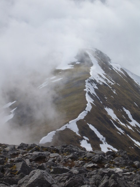
Sgorr na Dìollaid
Sgorr na Dìollaid is a mountain in the Northwest Highlands of Scotland. It is situated between Glen Strathfarrar and Glen Cannich, 7 km north-west of the...
Glen Cannich
Glen Cannich (Scottish Gaelic: Gleann Chanaich) is a long glen in the Northwest Highlands of Scotland and through which runs the River Cannich. Emerging...
Glen Strathfarrar
Glen Strathfarrar (Scottish Gaelic: Srath Farair) is a glen in the Highland region of Scotland, near Loch Ness. The Glen is part of the Affric-Beauly hydro...

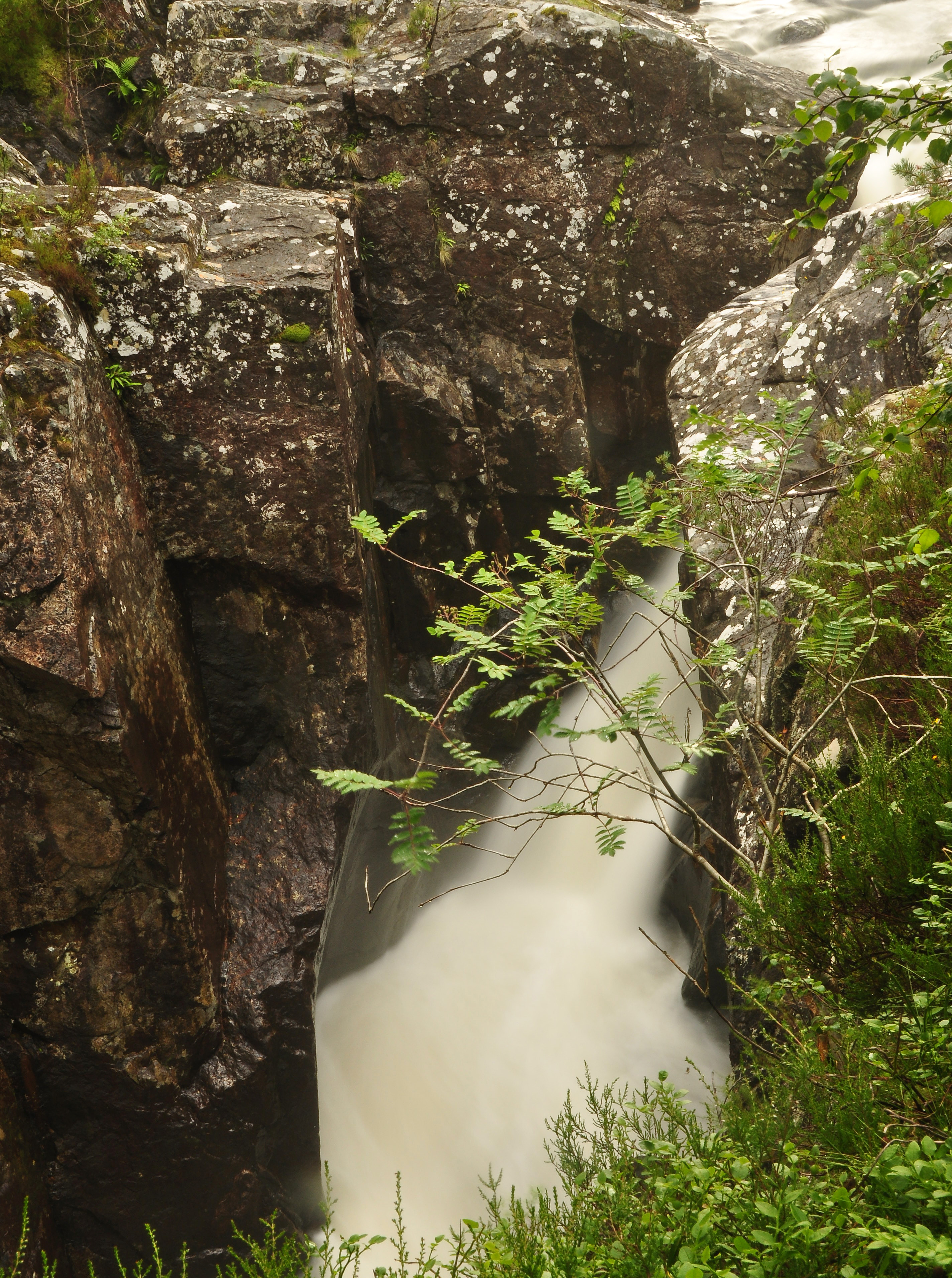
Eas Maol Mhairi
Eas Maol Mhairi is a waterfall of Scotland. Just east of this waterfall is the River Cannich. == See also == Waterfalls of Scotland == References ==
Dog Falls, Glen Affric
Dog Falls (Gaelic: Eas a' Choin) is a series of waterfalls on the River Affric, in Glen Affric in the Highlands of Scotland. The falls are within the Glen...

Loch Mullardoch
Loch Mullardoch is a major reservoir in Glen Cannich in the Northwest Highlands of Scotland. It was created by the damming in 1951 of the River Cannich...
Càrn nan Gobhar (Mullardoch)
Càrn nan Gobhar is a mountain rising to 993 metres (3,258 ft) in the Northwest Highlands of Scotland. It stands on the northern side of Loch Mullardoch...
Sgùrr a' Choire Ghlais
Sgurr a' Choire Ghlais is a mountain in the North-west Highlands of Scotland. It lies between Glen Strathfarrar and Glen Orrin and it is an excellent viewpoint...
Have you been to An Soutar?
Leave your review of An Soutar below (or comments, questions and feedback).