Bow Hill

Hill, Mountain in Renfrewshire

Scotland

Bow Hill

Smartcard reader at Drumfrochar railway station One of two similar readers at the station which reads smartcards which are preloaded with journeys. This one is at the Peat Road entrance, the other is at the Lemmon Street entrance.
Smartcard reader at Drumfrochar railway station Credit: Thomas Nugent

Bow Hill is a small hill located in the Renfrewshire region of Scotland. It is situated approximately 7 miles southwest of the town of Paisley and 15 miles west of Glasgow. The hill is part of a larger range known as the Renfrewshire Hills, which are characterized by their gentle slopes and rolling terrain.

Bow Hill stands at an elevation of around 200 meters (656 feet) above sea level and offers panoramic views of the surrounding countryside. The hill is covered in lush green vegetation, including grasses, heather, and scattered trees. It is also home to various species of wildlife, such as rabbits, foxes, and a variety of bird species, making it a popular spot for nature enthusiasts and birdwatchers.

At the summit of Bow Hill, there is a trig point, which is a concrete pillar used as a reference point for mapping and surveying purposes. The trig point provides a focal point for visitors and can be seen from various points in the surrounding area.

Hiking and walking trails traverse Bow Hill, providing opportunities for outdoor activities and exploration. The hill is easily accessible by foot and offers a peaceful and tranquil setting away from the hustle and bustle of nearby urban areas.

Overall, Bow Hill is a picturesque and scenic location, offering natural beauty and recreational opportunities for visitors to enjoy.

If you have any feedback on the listing, please let us know in the comments section below.
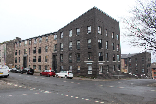
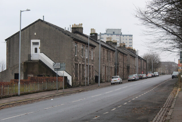
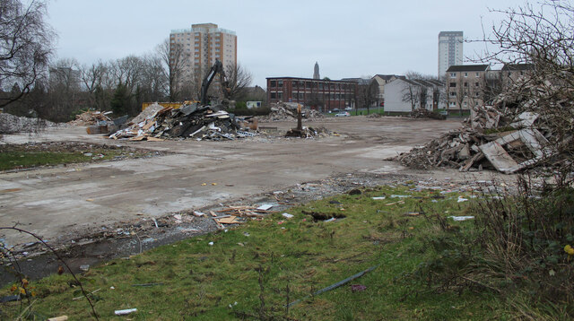
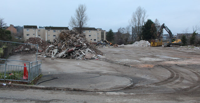
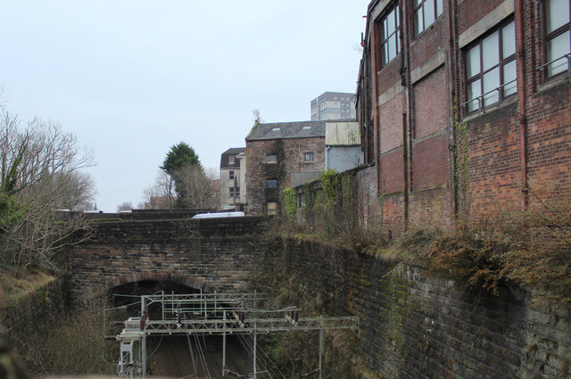
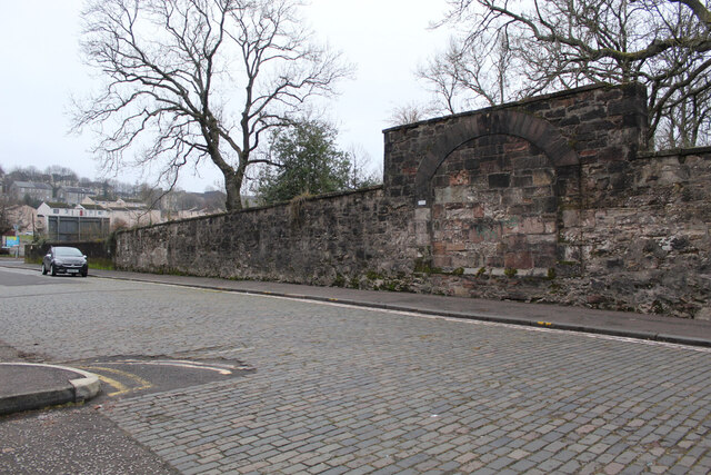
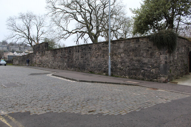
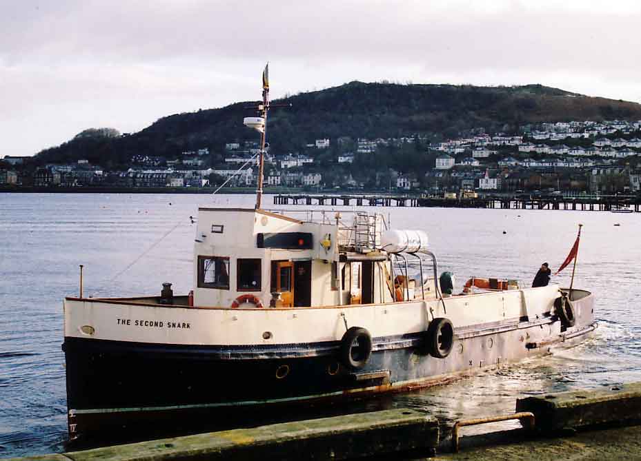
Bow Hill Images

Images are sourced within 2km of 55.950861/-4.7923874 or Grid Reference NS2576. Thanks to Geograph Open Source API. All images are credited.

Smartcard reader at Drumfrochar railway station One of two similar readers at the station which reads smartcards which are preloaded with journeys. This one is at the Peat Road entrance, the other is at the Lemmon Street entrance.
Smartcard reader at Drumfrochar railway station
One of two similar readers at the station which reads smartcards which are preloaded with journeys. This one is at the Peat Road entrance, the other is at the Lemmon Street entrance.
Smartcard reader at Drumfrochar railway station  One of two similar readers at the station which reads smartcards which are preloaded with journeys. This one is at the Peat Road entrance, the other is at the Lemmon Street entrance.
Smartcard reader at Drumfrochar railway station
One of two similar readers at the station which reads smartcards which are preloaded with journeys. This one is at the Peat Road entrance, the other is at the Lemmon Street entrance.
Cowdeknowes Reservoir  One of two small reservoirs off Murdieston Street.
Cowdeknowes Reservoir
One of two small reservoirs off Murdieston Street.
New lampposts on Murdieston Street  New lampposts are being installed to replace the old ones and their overhead wires.
New lampposts on Murdieston Street
New lampposts are being installed to replace the old ones and their overhead wires.
On the Esplanade, Greenock
Cemetery, Greenock
Cemetery, Greenock
Site of Highlanders Academy The school closed in 2012 and the building was demolished in 2017.

See the building here <a href="https://www.geograph.org.uk/photo/595527">NS2775 : Highlanders' Academy</a>.
Site of Highlanders Academy
The school closed in 2012 and the building was demolished in 2017. See the building here NS2775 : Highlanders' Academy.
Dempster Street Stone-built terraced houses on the north side of the street, with Whinhill Court towerblock in the distance.
Dempster Street
Stone-built terraced houses on the north side of the street, with Whinhill Court towerblock in the distance.
Site of Greenock Health Centre The health centre on Duncan Street closed in 2021, having been replaced by a new Health and Care Centre on nearby Wellington Street. Royal Court (left) and Whinhill Court towerblocks can also be seen.

Old health centre <a href="https://www.geograph.org.uk/photo/595548">NS2775 : Greenock Health Centre</a>.
New health centre <a href="https://www.geograph.org.uk/photo/7029994">NS2775 : Greenock Health & Care Centre</a>.
Site of Greenock Health Centre
The health centre on Duncan Street closed in 2021, having been replaced by a new Health and Care Centre on nearby Wellington Street. Royal Court (left) and Whinhill Court towerblocks can also be seen. Old health centre NS2775 : Greenock Health Centre. New health centre NS2775 : Greenock Health & Care Centre.
Site of Greenock Health Centre The health centre on Duncan Street closed in 2021, having been replaced by a new Health and Care Centre on nearby Wellington Street.

Old health centre <a href="https://www.geograph.org.uk/photo/595548">NS2775 : Greenock Health Centre</a>.
New health centre <a href="https://www.geograph.org.uk/photo/7029994">NS2775 : Greenock Health & Care Centre</a>.
Site of Greenock Health Centre
The health centre on Duncan Street closed in 2021, having been replaced by a new Health and Care Centre on nearby Wellington Street. Old health centre NS2775 : Greenock Health Centre. New health centre NS2775 : Greenock Health & Care Centre.
Site of Greenock Health Centre The health centre on Duncan Street closed in 2021, having been replaced by a new Health and Care Centre on nearby Wellington Street.

Same view of the old health centre <a href="https://www.geograph.org.uk/photo/595548">NS2775 : Greenock Health Centre</a>.
New health centre <a href="https://www.geograph.org.uk/photo/7029994">NS2775 : Greenock Health & Care Centre</a>.
Site of Greenock Health Centre
The health centre on Duncan Street closed in 2021, having been replaced by a new Health and Care Centre on nearby Wellington Street. Same view of the old health centre NS2775 : Greenock Health Centre. New health centre NS2775 : Greenock Health & Care Centre.
Railway line near Greenock West station Looking towards the station and the Bruce Street bridge from the Duncan Street bridge.
Railway line near Greenock West station
Looking towards the station and the Bruce Street bridge from the Duncan Street bridge.
Railway line near Greenock West station The Bearhope Street bridge, viewed from the Duncan Street bridge looking east.
Railway line near Greenock West station
The Bearhope Street bridge, viewed from the Duncan Street bridge looking east.
Railway line near Greenock West station This is the west portal of the westernmost of the two tunnels between Greenock Central and Greenock West stations. Viewed from the Duncan Street bridge.
Railway line near Greenock West station
This is the west portal of the westernmost of the two tunnels between Greenock Central and Greenock West stations. Viewed from the Duncan Street bridge.
Duncan Street The rear wall of Inverkip Street Burial Ground is prominent.
Duncan Street
The rear wall of Inverkip Street Burial Ground is prominent.
Duncan Street The rear wall of Inverkip Street Burial Ground is prominent.
Duncan Street
The rear wall of Inverkip Street Burial Ground is prominent.
Show me another place!

Bow Hill is located at Grid Ref: NS2576 (Lat: 55.950861, Lng: -4.7923874)

Unitary Authority: Inverclyde

Police Authority: Renfrewshire and Inverclyde

What 3 Words

///character.newsprint.dots. Near Gourock, Inverclyde

Nearby Locations

Bow Hill North Auchneagh

Related Wikis

Finnart

The lands of Finnart to the west of Greenock belonged to the Earl of Douglas in medieval times. Around 1455 they were forfeited to the crown. Finnart was...

St Columba's High School, Gourock

St Columba's High School is a co-educational six-year Roman Catholic, comprehensive secondary school, located next to Tower Hill Gourock, Inverclyde, Scotland...

Lyle Hill

Lyle Hill stands at the West End of Greenock in Inverclyde, Scotland. It has scenic viewpoints accessible from Lyle Road, which was constructed in 1879...

Clydeview Academy

Clydeview Academy is a non-denominational secondary school situated in Gourock, Inverclyde. It was founded in 2011 and opened to pupils on 17 August 2011...

Nearby Amenities

Located within 500m of 55.950861,-4.7923874
Source: Bing
Lat/Long: 55.9488746/-4.7872955
Free French Memorial
Historic: monument
Inscription: A la memoire des marins des forces navales francaises libres qui n'ont jamais cesse le combat et sons tombe glorieusement pour la liberation de la France dans l'honneur et par la victoire
Subject: Free French Naval Forces
Subject Wikidata: Q2705826
Lat/Long: 55.9542112/-4.7954034
Bench
Backrest: yes
Direction: 010
Lat/Long: 55.9541517/-4.795414
Bench
Backrest: yes
Direction: 190
Lat/Long: 55.9542751/-4.7953859
Waste Basket
Colour: black
Material: metal
Lat/Long: 55.9549953/-4.7949898
Bench
Backrest: yes
Lat/Long: 55.9542645/-4.7953949
Bench
Backrest: yes
Lat/Long: 55.9541498/-4.7954172
The data included in this document is from www.openstreetmap.org. The data is made available under ODbL.

Have you been to Bow Hill?

Leave your review of Bow Hill below (or comments, questions and feedback).