Cockrobin Hill
Hill, Mountain in Renfrewshire
Scotland
Cockrobin Hill

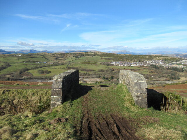
Cockrobin Hill is a prominent hill located in Renfrewshire, Scotland. Rising to an elevation of approximately 167 meters (548 feet), it is situated near the village of Elderslie, about 12 kilometers (7.5 miles) southwest of the town of Paisley. This hill is part of the larger Clyde Muirshiel Regional Park, which covers an area of 108 square kilometers (42 square miles) and is known for its stunning natural beauty and diverse wildlife.
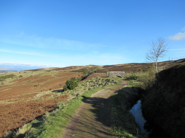
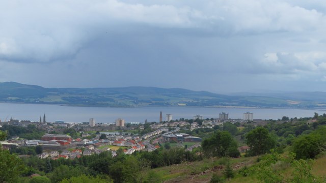
Cockrobin Hill offers visitors a range of outdoor activities and recreational opportunities. The hill is popular among hikers and nature enthusiasts, who can enjoy its well-maintained trails and breathtaking views of the surrounding countryside. On clear days, the summit provides panoramic vistas of the Clyde Valley, the Renfrewshire hills, and even the distant peaks of the Scottish Highlands.
The hill is covered in a mixture of heather, grasses, and scattered trees, making it an ideal habitat for a variety of wildlife. Visitors may encounter a range of bird species, including buzzards, kestrels, and various songbirds. Additionally, the area is known for its diverse flora, with wildflowers such as bluebells and primroses adding bursts of color to the landscape during the spring and summer months.
Overall, Cockrobin Hill offers a serene and picturesque escape for nature lovers and outdoor enthusiasts, providing a chance to immerse oneself in the natural splendor of Renfrewshire's countryside.
If you have any feedback on the listing, please let us know in the comments section below.
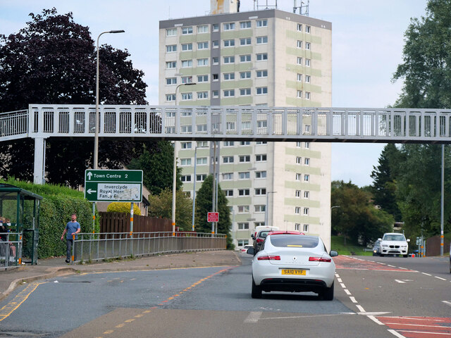
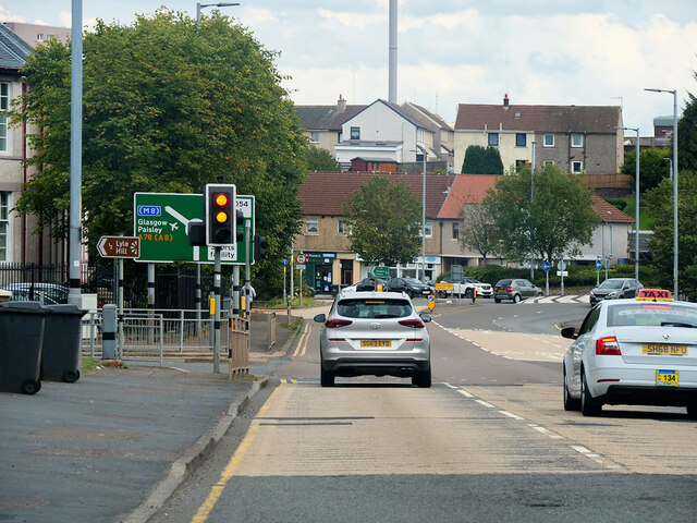
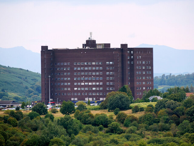
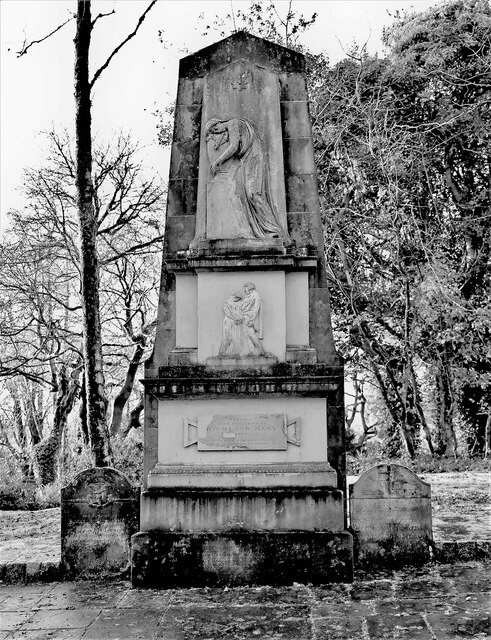
Cockrobin Hill Images
Images are sourced within 2km of 55.933684/-4.7959227 or Grid Reference NS2574. Thanks to Geograph Open Source API. All images are credited.


Cockrobin Hill is located at Grid Ref: NS2574 (Lat: 55.933684, Lng: -4.7959227)
Unitary Authority: Inverclyde
Police Authority: Renfrewshire and Inverclyde
What 3 Words
///pairings.urge.refuse. Near Greenock, Inverclyde
Nearby Locations
Related Wikis
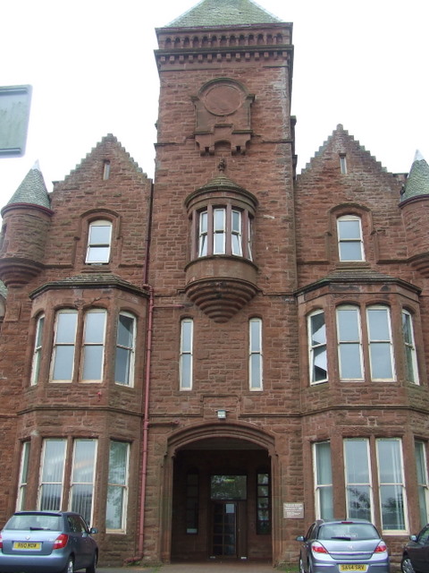
Ravenscraig Hospital
Ravenscraig Hospital was a mental health facility in Inverkip Road, Greenock, Scotland. It was managed by NHS Greater Glasgow and Clyde. == History... ==

Branchton
Branchton (Scots: Branchtoun, Scottish Gaelic: Brainsdean) is an area within the Scottish town of Greenock, in Inverclyde. Tenements used to dominate the...
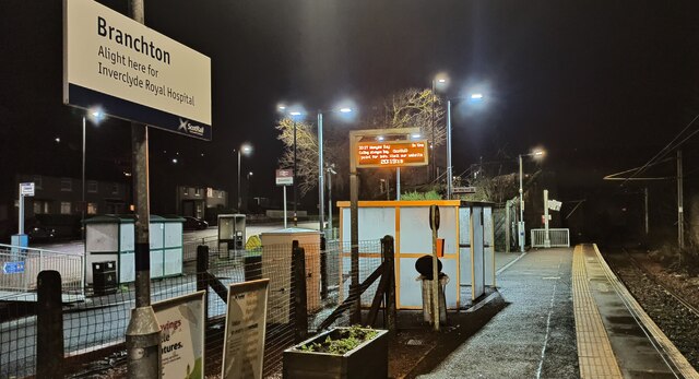
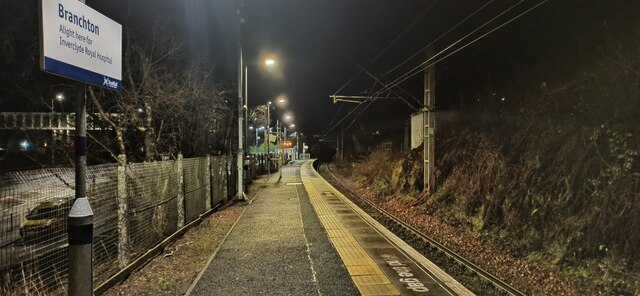
Branchton railway station
Branchton railway station is a railway station in Scotland opened in 1967 under British Rail located in the south-west of the town of Greenock, beside...

Ravenscraig railway station
Ravenscraig railway station was a railway station located south west of the town of Greenock, Inverclyde, Scotland, originally as part of the Greenock...
Nearby Amenities
Located within 500m of 55.933684,-4.7959227Have you been to Cockrobin Hill?
Leave your review of Cockrobin Hill below (or comments, questions and feedback).