Andrew's Hill

Hill, Mountain in Devon Torridge

England

Andrew's Hill

Stoke Church
Stoke Church Credit: thejackrustles

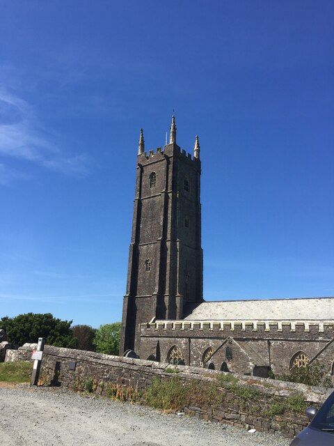
Andrew's Hill is a picturesque mountain located in the county of Devon, England. Standing at an elevation of approximately 500 meters, it offers breathtaking panoramic views of the surrounding countryside. The hill is known for its rugged terrain, covered in lush greenery, and offers a challenging climb for outdoor enthusiasts.

Situated in the southern part of Devon, Andrew's Hill is part of the larger Dartmoor National Park, which is renowned for its natural beauty and diverse wildlife. The hill is characterized by its granite outcrops and dramatic slopes, adding to its allure for hikers and climbers alike. It is a popular destination for those seeking a thrilling outdoor experience or simply a peaceful retreat in nature.

The hill is home to a variety of flora and fauna, including heather, gorse, and wild ponies that roam freely across the moorland. Birdwatchers will also find delight in the area, as there are numerous species of birds that call Andrew's Hill their home.

Given its remote location, visitors to Andrew's Hill are advised to come prepared with proper hiking gear and navigation equipment. The terrain can be challenging, especially during inclement weather conditions, so caution is essential. Additionally, it is advisable to inform someone about your plans and estimated time of return when venturing to the hill.

Overall, Andrew's Hill is a captivating destination for nature lovers and adventure seekers, offering stunning vistas and an opportunity to immerse oneself in the beauty of Devon's countryside.

If you have any feedback on the listing, please let us know in the comments section below.

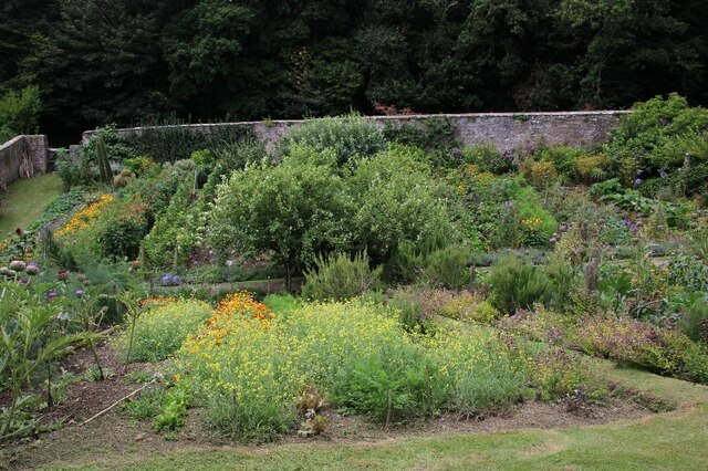
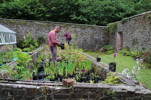
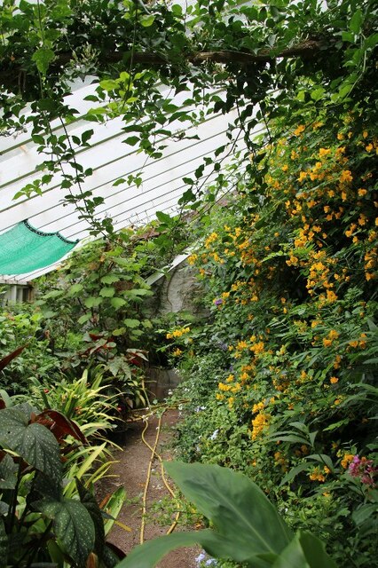
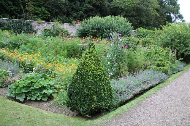
Andrew's Hill Images

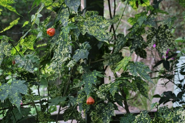
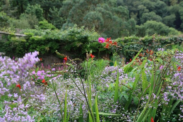
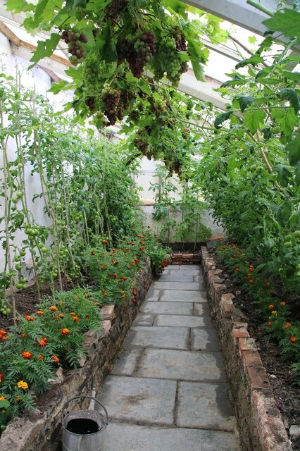
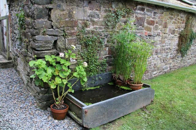
Images are sourced within 2km of 50.98872/-4.4918671 or Grid Reference SS2523. Thanks to Geograph Open Source API. All images are credited.

Stoke Church
Stoke Church
OS Cut Mark - Stoke, St Nectan's Church <span class="nowrap"><a title="https://www.bench-marks.org.uk/bm92325" rel="nofollow ugc noopener" href="https://www.bench-marks.org.uk/bm92325">Link</a><img style="margin-left:2px;" alt="External link" title="External link - shift click to open in new window" src="https://s1.geograph.org.uk/img/external.png" width="10" height="10"/></span>
OS Cut Mark - Stoke, St Nectan's Church
Walled Gardens at Hartland Abbey (1)
Walled Gardens at Hartland Abbey (2)
Walled Gardens at Hartland Abbey (3)
Walled Gardens at Hartland Abbey (4)
Gardeners at work, Walled Gardens, Hartland Abbey
Pots and plants in greenhouse, Hartland Abbey Walled Garden
Dattura Plant, Hartland Abbey Walled Garden
Abutilon plant, Hartland Abbey Walled Garden
Walled Gardens at Hartland Abbey (5)
Armillary Sphere in Walled Gardens at Hartland Abbey (6)
Planting of French Marigolds with tomatoes and grape vine: Hartland Abbey Walled Garden
Water trough, Hartland Abbey Walled Garden
Greenhouse in Hartland Abbey Walled Garden
Walled Gardens at Hartland Abbey (7)
East face of Hartland Abbey
Bog Garden, Hartland Abbey
Show me another place!

Andrew's Hill is located at Grid Ref: SS2523 (Lat: 50.98872, Lng: -4.4918671)

Administrative County: Devon

District: Torridge

Police Authority: Devon and Cornwall

What 3 Words

///resonates.nest.also. Near Flexbury, Cornwall

Nearby Locations

Andrew's Hill

Related Wikis

Hartland, Devon

The village of Hartland, whose parish incorporates the hamlet of Stoke to the west and the village of Meddon in the south, is the most north-westerly settlement...

Our Lady and St Nectan's Church, Hartland

The Church of Our Lady and St Nectan was a Roman Catholic place of worship in the town of Hartland, Devon. It was built by local people and consecrated...

The Small School

The Small School was a coeducational private school for children ages 11–16, located in Hartland, Devon, England, that closed in 2016. == History == Satish...

Ballhill

Ballhill is a village in Devon, England.

Nearby Amenities

Located within 500m of 50.98872,-4.4918671
St Leonards Chapel
Building: yes
Historic: ruins
Lat/Long: 50.987709/-4.4963485
Barrier: stile
Foot: yes
Lat/Long: 50.9898887/-4.4922884
Cuckoo Cottage
Building: yes
Lat/Long: 50.9879648/-4.4944414
Direction: 170
Generator Method: photovoltaic
Generator Output Electricity: yes
Generator Solar Modules: 40
Generator Source: solar
Generator Type: solar_photovoltaic_panel
Location: roof
Power: generator
Lat/Long: 50.9849837/-4.4889571
Power: pole
Source: bing
Lat/Long: 50.9851669/-4.496128
Power: pole
Source: bing
Lat/Long: 50.9867017/-4.4976273
Power: pole
Source: bing
Lat/Long: 50.985616/-4.4965705
Power: pole
Source: bing
Lat/Long: 50.9863573/-4.4972947
Power: pole
Source: bing
Lat/Long: 50.9870614/-4.4979867
Power: pole
Source: bing
Lat/Long: 50.9877654/-4.4984695
Power: pole
Source: bing
Lat/Long: 50.9929705/-4.4938615
Power: pole
Source: bing
Lat/Long: 50.9931106/-4.4926465
Power: pole
Source: bing
Lat/Long: 50.9931832/-4.4915146
Power: pole
Source: bing
Lat/Long: 50.9852125/-4.4949974
Power: pole
Source: bing
Lat/Long: 50.985318/-4.4922455
Power: pole
Source: bing
Transformer: distribution
Lat/Long: 50.9853189/-4.4924963
The data included in this document is from www.openstreetmap.org. The data is made available under ODbL.

Have you been to Andrew's Hill?

Leave your review of Andrew's Hill below (or comments, questions and feedback).