Derwindle Hill

Hill, Mountain in Wigtownshire

Scotland

Derwindle Hill

View towards Cairn Park Near Torwood
View towards Cairn Park Credit: Richard Webb

Derwindle Hill is an impressive hill located in Wigtownshire, a historic county in southwestern Scotland. Rising to an elevation of approximately 350 meters (1,150 feet), it is considered a prominent landmark in the area. The hill is situated about 5 kilometers (3 miles) southwest of the village of Sorbie and around 4 kilometers (2.5 miles) northeast of the town of Whithorn.

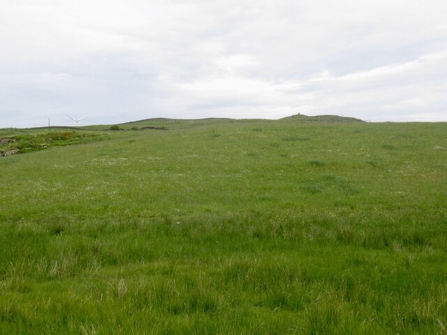
Derwindle Hill boasts a distinctive conical shape, with steep slopes covered in heather and grasses. Its summit offers breathtaking panoramic views of the surrounding countryside, including the picturesque Machars Peninsula and the coast of Wigtown Bay. On a clear day, visitors can even catch a glimpse of the Isle of Man on the horizon.

The hill is a popular destination for outdoor enthusiasts, particularly hikers, who are drawn to its challenging yet rewarding trails. The ascent to the summit can be steep and rugged in places, but the breathtaking vistas make the effort worthwhile. The hill is also home to an array of wildlife, including various bird species, such as buzzards and kestrels, as well as the occasional sighting of deer or foxes.

Derwindle Hill is rich in history and folklore, with ancient stone circles and burial sites scattered across its slopes. These archaeological remains provide a glimpse into the region's past and add to the hill's mystique.

Overall, Derwindle Hill is a remarkable natural landmark that offers visitors a chance to immerse themselves in the stunning Scottish countryside while enjoying its historical and cultural significance.

If you have any feedback on the listing, please let us know in the comments section below.

Derwindle Hill Images

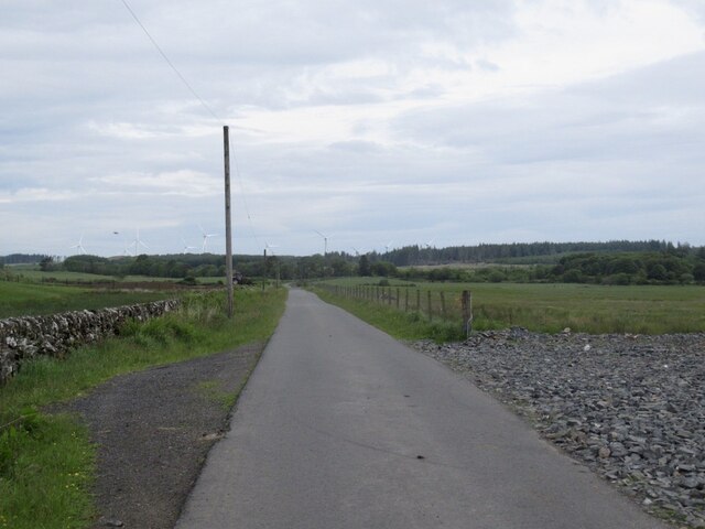
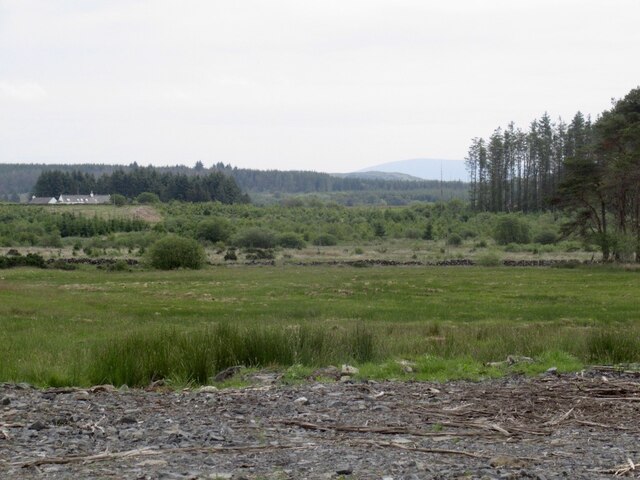
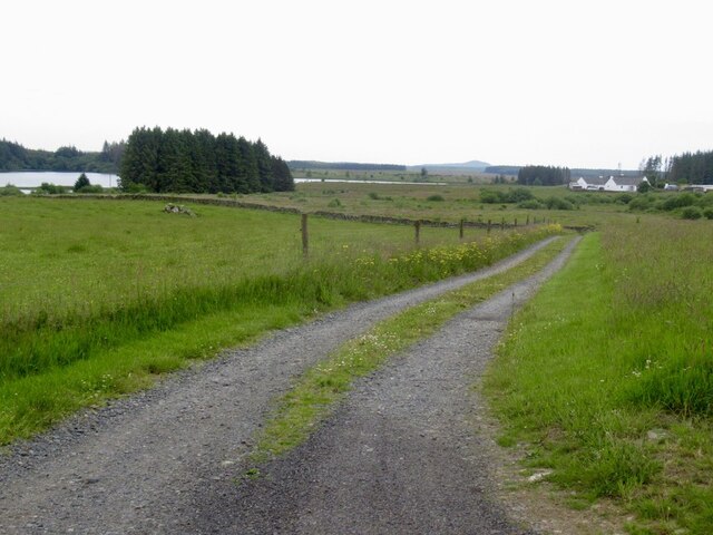
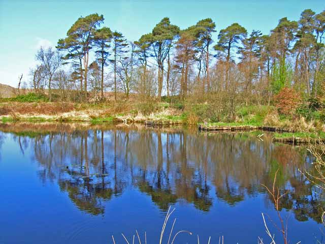
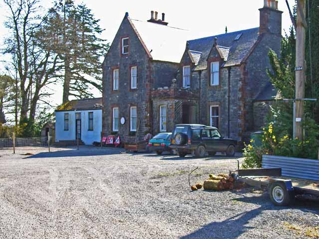
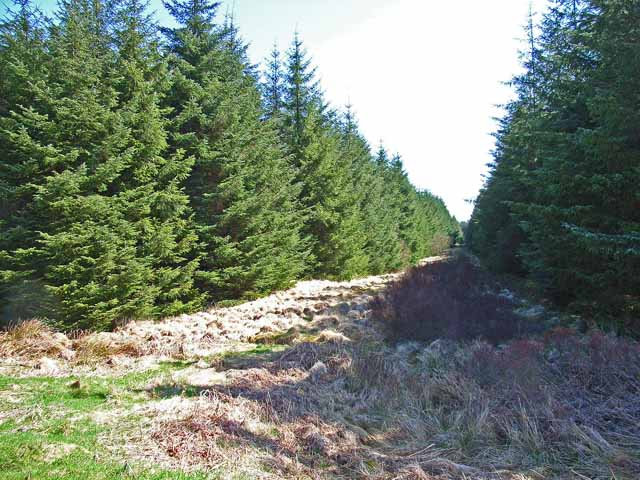
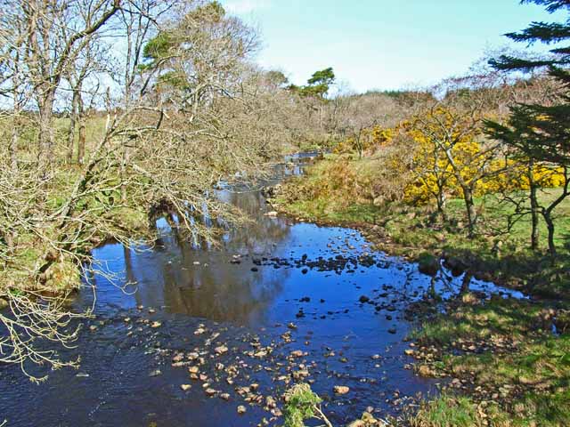
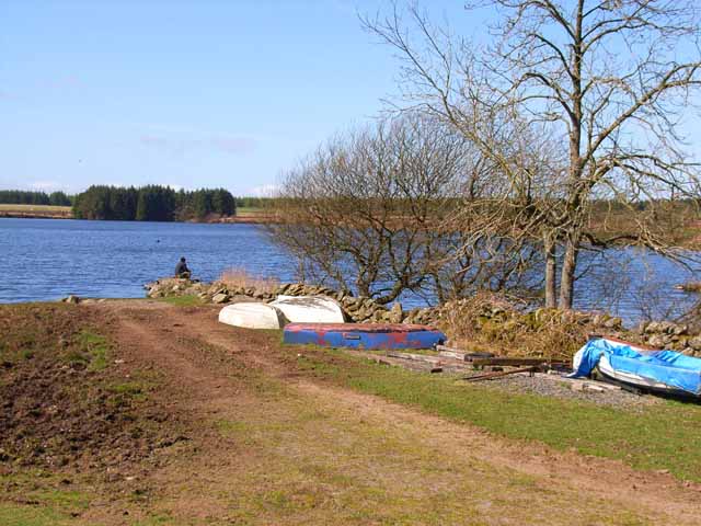
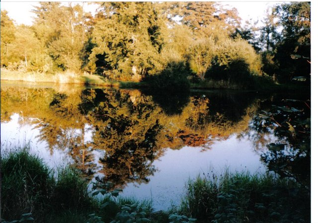
Images are sourced within 2km of 54.942776/-4.7321986 or Grid Reference NX2564. Thanks to Geograph Open Source API. All images are credited.

View towards Cairn Park Near Torwood
View towards Cairn Park
Near Torwood
Road, Torwood
Road, Torwood
Gass Farm
Gass Farm
Flow Wood After a clear fell.
Flow Wood
After a clear fell.
Road towards the Three Lochs From Glenluce.
Road towards the Three Lochs
From Glenluce.
View towards Mark of Lochronald
Near Loch Ronald Leaving a forest.
Near Loch Ronald
Leaving a forest.
Road near Loch Ronald
Road to Mark of Lochronald
Fishing lake at Torwood House Country Hotel Set in the wilds of the Wigtownshire Moors, miles from anywhere.
Fishing lake at Torwood House Country Hotel
Set in the wilds of the Wigtownshire Moors, miles from anywhere.
Torwood House Country Hotel An old hunting lodge set in the wilds of the Wigtownshire Moors, miles from anywhere. <span class="nowrap"><a title="http://www.torwoodhotel-and-logcabins.com/" rel="nofollow ugc noopener" href="http://www.torwoodhotel-and-logcabins.com/">Link</a><img style="margin-left:2px;" alt="External link" title="External link - shift click to open in new window" src="https://s1.geograph.org.uk/img/external.png" width="10" height="10"/></span>
Torwood House Country Hotel
An old hunting lodge set in the wilds of the Wigtownshire Moors, miles from anywhere. LinkExternal link
Firebreak near Loch Ronald Much of the Wigtownshire Moors has been afforested since the 1960s.
Firebreak near Loch Ronald
Much of the Wigtownshire Moors has been afforested since the 1960s.
Tarf Water Looking north from Tarf Bridge
Tarf Water
Looking north from Tarf Bridge
Loch Ronald A popular coarse fishing loch, part of the Craighlaw Fisheries. <span class="nowrap"><a title="http://www.sfca.co.uk/sca/sckbarlw.htm" rel="nofollow ugc noopener" href="http://www.sfca.co.uk/sca/sckbarlw.htm">Link</a><img style="margin-left:2px;" alt="External link" title="External link - shift click to open in new window" src="https://s1.geograph.org.uk/img/external.png" width="10" height="10"/></span>
Loch Ronald
A popular coarse fishing loch, part of the Craighlaw Fisheries. LinkExternal link
Loch, Torwoodhouse hotel
Log cabin, Torwood House Hotel Set in a small group of trees, this log cabin is to the right of the drive on the approach to the hotel.
Log cabin, Torwood House Hotel
Set in a small group of trees, this log cabin is to the right of the drive on the approach to the hotel.
Track at Loch Heron The track, at this point, is halfway between Loch Heron and Loch Ronald.
Track at Loch Heron
The track, at this point, is halfway between Loch Heron and Loch Ronald.
Loch Ronald This area is known as "The Three Lochs". Loch Ronald is the most westerly of the three,the others being Loch Heron and the Black Loch.
Loch Ronald
This area is known as "The Three Lochs". Loch Ronald is the most westerly of the three,the others being Loch Heron and the Black Loch.
Show me another place!

Derwindle Hill is located at Grid Ref: NX2564 (Lat: 54.942776, Lng: -4.7321986)

Unitary Authority: Dumfries and Galloway

Police Authority: Dumfries and Galloway

What 3 Words

///pens.drives.saddens. Near Newton Stewart, Dumfries & Galloway

Nearby Locations

Derwindle Hill Flow Wood

Related Wikis

Tarf Water, Wigtownshire

The Tarf Water is a river in the former county of Wigtownshire in south-west Scotland. It rises on the Ayrshire border (55.0048°N 4.7815°W / 55.0048;...

Barhapple Loch

Barhapple Loch is a small semicircular freshwater loch located in Wigtownshire, Dumfries and Galloway in Scotland. Barhapple Loch is principally known...

Mid Gleniron

Mid Gleniron is a prehistoric site in Dumfries and Galloway used in the Neolithic and Bronze Age. The site is a scheduled ancient monument that comprises...

New Luce

New Luce (Scottish Gaelic: Baile Ùr Ghlinn Lus) is a civil parish in Dumfries and Galloway, south-west Scotland. It lies in the traditional county of Wigtownshire...

Nearby Amenities

Located within 500m of 54.942776,-4.7321986
Power: pole
Lat/Long: 54.9388096/-4.7317164
Power: pole
Lat/Long: 54.9395068/-4.7322094
Power: pole
Lat/Long: 54.9392169/-4.7335499
Power: pole
Lat/Long: 54.9389782/-4.7347225
Power: pole
Lat/Long: 54.9406018/-4.7331508
Power: pole
Lat/Long: 54.941179/-4.7338057
Power: pole
Lat/Long: 54.9418155/-4.7344912
Power: pole
Lat/Long: 54.9425288/-4.7352096
Power: pole
Lat/Long: 54.9430399/-4.7357777
Power: pole
Lat/Long: 54.9436265/-4.7364539
Power: pole
Lat/Long: 54.9442103/-4.737076
Power: pole
Lat/Long: 54.9448441/-4.7378037
Power: pole
Lat/Long: 54.9453646/-4.7383648
Power: pole
Lat/Long: 54.9443883/-4.7389728
Power: pole
Lat/Long: 54.9404157/-4.7318936
Power: pole
Lat/Long: 54.9405277/-4.7315086
Power: pole
Lat/Long: 54.9408796/-4.7303254
Power: pole
Lat/Long: 54.9412141/-4.7292032
Power: pole
Lat/Long: 54.9414999/-4.7282219
Power: pole
Lat/Long: 54.9417885/-4.727243
Power: pole
Lat/Long: 54.9421594/-4.7259095
Power: pole
Lat/Long: 54.9424938/-4.7246982
The data included in this document is from www.openstreetmap.org. The data is made available under ODbL.

Have you been to Derwindle Hill?

Leave your review of Derwindle Hill below (or comments, questions and feedback).