Black Hill
Hill, Mountain in Wigtownshire
Scotland
Black Hill
Black Hill is a prominent hill located in the region of Wigtownshire, Scotland. Standing at an impressive height of 426 meters (1,398 feet), it is a prominent landmark in the area. The hill is situated approximately 3 kilometers northwest of the town of Newton Stewart, making it easily accessible for visitors and locals alike.
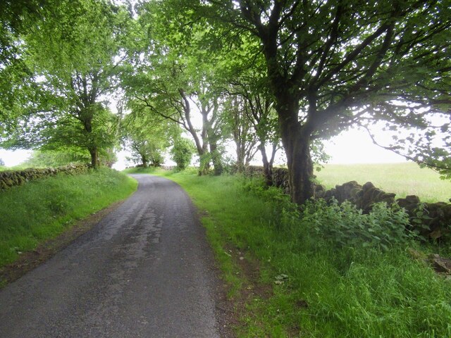
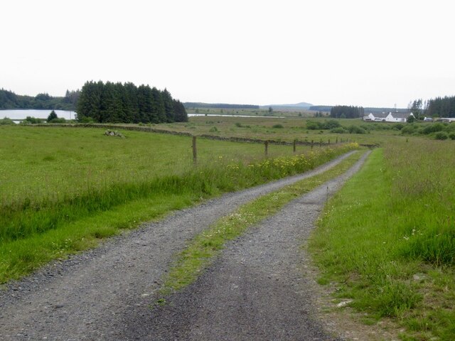
Black Hill offers breathtaking panoramic views of the surrounding countryside, including the Galloway Forest Park, the Cree Estuary, and the rolling hills of Wigtownshire. It is a popular destination for hikers and nature enthusiasts, with several well-marked trails leading to the summit. The ascent can be challenging at times, particularly in wet weather when the ground can become muddy and slippery.
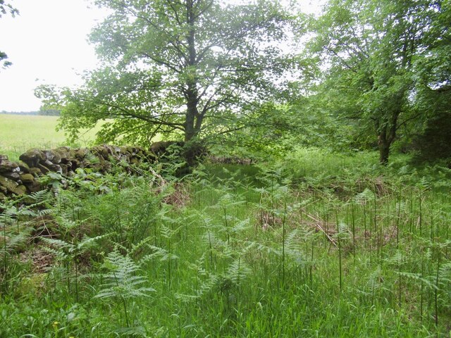
The hill is predominantly covered in heather and grass, providing a habitat for various species of birds and other wildlife. It is not uncommon to spot birds of prey, such as buzzards and kestrels, soaring above the hillside. The area is also home to a diverse range of plant species, including bilberry and cotton grass.
Black Hill is steeped in history, with evidence of ancient settlements and burial sites dating back thousands of years. The surrounding area is dotted with remnants of old stone walls and ruins, adding to the sense of mystery and intrigue. For history enthusiasts, exploring the hill and its surroundings can be a fascinating experience.
Overall, Black Hill in Wigtownshire is a captivating natural landmark, offering stunning views, diverse wildlife, and a rich historical background. It is a must-visit destination for those seeking outdoor adventures and a deeper connection with nature.
If you have any feedback on the listing, please let us know in the comments section below.
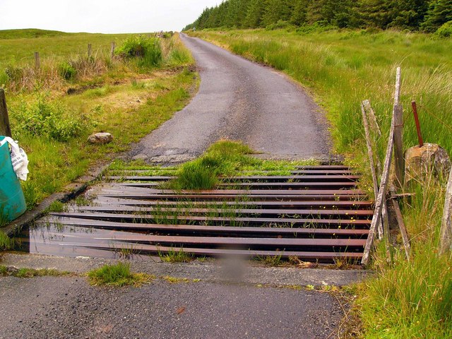
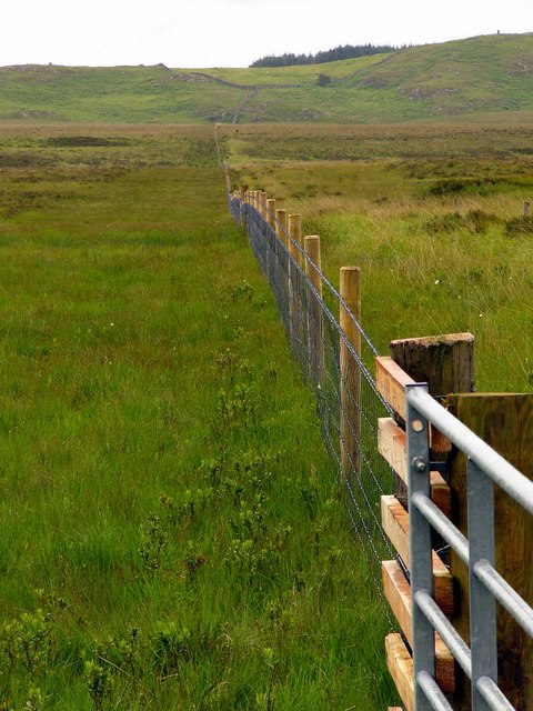
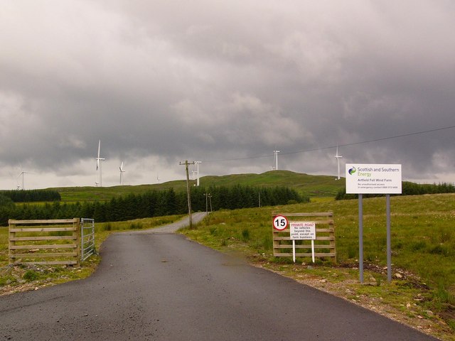
Black Hill Images
Images are sourced within 2km of 54.960102/-4.7380775 or Grid Reference NX2466. Thanks to Geograph Open Source API. All images are credited.


Black Hill is located at Grid Ref: NX2466 (Lat: 54.960102, Lng: -4.7380775)
Unitary Authority: Dumfries and Galloway
Police Authority: Dumfries and Galloway
What 3 Words
///serves.loose.snowballs. Near Newton Stewart, Dumfries & Galloway
Nearby Locations
Related Wikis

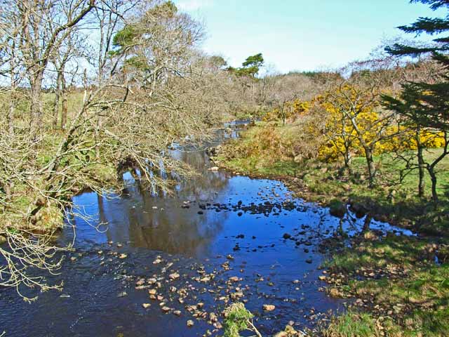
Tarf Water, Wigtownshire
The Tarf Water is a river in the former county of Wigtownshire in south-west Scotland. It rises on the Ayrshire border (55.0048°N 4.7815°W / 55.0048;...

Barhapple Loch
Barhapple Loch is a small semicircular freshwater loch located in Wigtownshire, Dumfries and Galloway in Scotland. Barhapple Loch is principally known...

New Luce
New Luce (Scottish Gaelic: Baile Ùr Ghlinn Lus) is a civil parish in Dumfries and Galloway, south-west Scotland. It lies in the traditional county of Wigtownshire...

New Luce railway station
New Luce railway station served the village of New Luce, Dumfries and Galloway, Scotland from 1887 to 1965 on the Girvan and Portpatrick Junction Railway...
Have you been to Black Hill?
Leave your review of Black Hill below (or comments, questions and feedback).