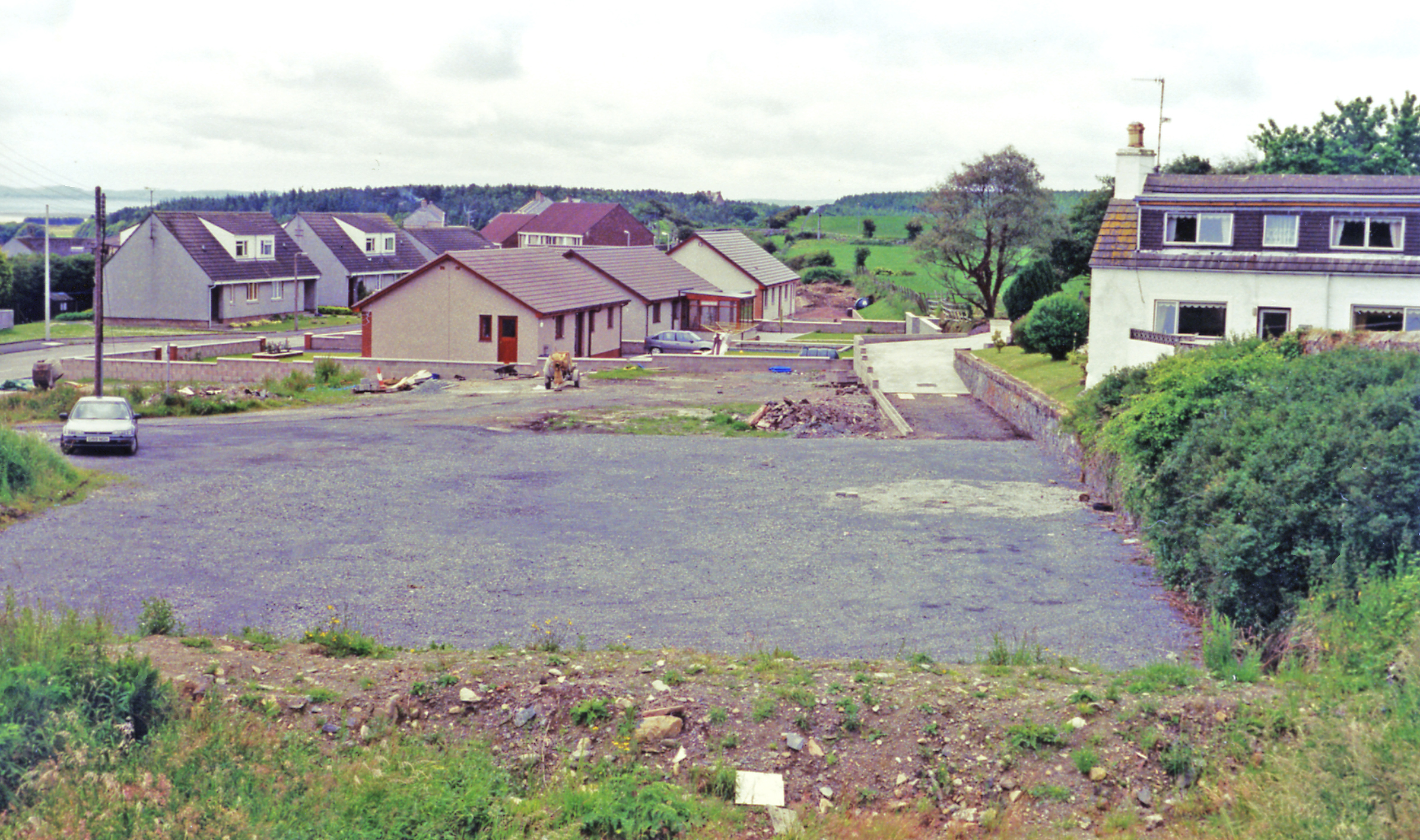
Black Hill

Hill, Mountain in Wigtownshire

Scotland

Black Hill

Road to Blairderry
Road to Blairderry Credit: David Baird

Black Hill is a prominent hill located in Wigtownshire, southwestern Scotland. With its summit reaching an elevation of 323 meters (1,060 feet), it is considered one of the highest peaks in the region. The hill is situated near the small village of Port William and offers magnificent panoramic views of the surrounding countryside.

Covered mostly in heather and grasses, Black Hill is part of the larger Galloway Hills range that stretches across the southern uplands of Scotland. Its slopes are gentle in some areas, while steep and rugged in others, providing a diverse terrain for hikers and walkers. The hill is accessible via various footpaths and trails, making it a popular destination for outdoor enthusiasts and nature lovers.

Despite its relatively modest height, Black Hill offers a sense of remoteness and tranquility. The summit provides a vantage point from which visitors can admire the picturesque landscapes of Wigtownshire, with views extending across the rolling hills, farmland, and the nearby coastline. On clear days, it is even possible to spot the distant peaks of the Galloway Forest Park.

Wildlife is abundant on Black Hill, with various bird species, such as ravens and buzzards, frequently seen soaring above. The hill is also home to a range of plant species, including heather, bilberry, and cotton grass, which add to its natural beauty.

In conclusion, Black Hill is a prominent feature of the Wigtownshire landscape, offering a rewarding experience for those who venture to the summit. Its accessibility, diverse terrain, and breathtaking views make it an ideal destination for outdoor enthusiasts seeking a taste of Scotland's natural beauty.

If you have any feedback on the listing, please let us know in the comments section below.

Black Hill Images

Images are sourced within 2km of 54.903138/-4.7355181 or Grid Reference NX2459. Thanks to Geograph Open Source API. All images are credited.

Road to Blairderry
Road to Blairderry
The road between Carscreugh and the Grennan Looking southwest towards Carscreugh farm.
The road between Carscreugh and the Grennan
Looking southwest towards Carscreugh farm.
Moorland near Carscreugh The Knock of Luce is on the horizon.
Moorland near Carscreugh
The Knock of Luce is on the horizon.
Moorland near the Grennan The low hill is called Drumagibben - MacGibbons ridge. Rising beyond that is the Knock of Luce.
Moorland near the Grennan
The low hill is called Drumagibben - MacGibbons ridge. Rising beyond that is the Knock of Luce.
Moorland and forestry Near to the Grennan farm.
Moorland and forestry
Near to the Grennan farm.
The road from Carscreugh to the Grennan Looking back towards Carsecreugh.
The road from Carscreugh to the Grennan
Looking back towards Carsecreugh.
Grennan Farm Hill farm situated on Grennan Moss at the end of the lane from Glenluce via Carsereugh.
Grennan Farm
Hill farm situated on Grennan Moss at the end of the lane from Glenluce via Carsereugh.
Grennan Plantation The lane from Glenluce to Grennan Moss passed through a gated plantation between Carsereugh and Grennan farms.
Grennan Plantation
The lane from Glenluce to Grennan Moss passed through a gated plantation between Carsereugh and Grennan farms.
Old Military Road View across to Barlae Hill with transmitter mast and the Galloway Hills on the horizon.
Old Military Road
View across to Barlae Hill with transmitter mast and the Galloway Hills on the horizon.
Old Military Road The track of the old road runs ahead with a new build gravel track to the right.
Old Military Road
The track of the old road runs ahead with a new build gravel track to the right.
Track to Blairderry View past Derhagie Hill left of picture to Blairderry Hill also left on the horizon with Blairderry Moss wood to the right.
Track to Blairderry
View past Derhagie Hill left of picture to Blairderry Hill also left on the horizon with Blairderry Moss wood to the right.
Track to the A75 This track to Blairderry leads in this direction down to a new dualled section of the A75.
Track to the A75
This track to Blairderry leads in this direction down to a new dualled section of the A75.
Cross roads Straight ahead is the track to Blairderry and to the right and left is the old military road.
Cross roads
Straight ahead is the track to Blairderry and to the right and left is the old military road.
Name that road Somewhere amongst this quagmire is an old military road, but I think I'll leave the search for another day.
Name that road
Somewhere amongst this quagmire is an old military road, but I think I'll leave the search for another day.
Grennan Moss View south across the moss. Centre of picture on the hill is a former WW2 Observation Tower beyond which is Dergoals Farm by the A75. Left of picture on the horizon is Knock Fell.
Grennan Moss
View south across the moss. Centre of picture on the hill is a former WW2 Observation Tower beyond which is Dergoals Farm by the A75. Left of picture on the horizon is Knock Fell.
View over Grennan Moss Looking towards Mark Broom Moss and Blairderry.
View over Grennan Moss
Looking towards Mark Broom Moss and Blairderry.
Track from Glenluce to Tarf Bridge Looking south towards Grennan and Glenluce.
Track from Glenluce to Tarf Bridge
Looking south towards Grennan and Glenluce.
Grennan Farm View of the farm and track to the right of picture which leads past the farm and onwards to Tarf Bridge.
Grennan Farm
View of the farm and track to the right of picture which leads past the farm and onwards to Tarf Bridge.
Show me another place!

Black Hill is located at Grid Ref: NX2459 (Lat: 54.903138, Lng: -4.7355181)

Unitary Authority: Dumfries and Galloway

Police Authority: Dumfries and Galloway

What 3 Words

///nursery.ruffle.crypt. Near Newton Stewart, Dumfries & Galloway

Related Wikis

Barhapple Loch

Barhapple Loch is a small semicircular freshwater loch located in Wigtownshire, Dumfries and Galloway in Scotland. Barhapple Loch is principally known...

Tarf Water, Wigtownshire

The Tarf Water is a river in the former county of Wigtownshire in south-west Scotland. It rises on the Ayrshire border (55.0048°N 4.7815°W / 55.0048;...

Glenluce railway station

Glenluce station was a station open in 1862 on the former Port Road that was constructed on the Portpatrick and Wigtownshire Joint Railway. It served the...

Old Luce

Old Luce is a civil parish in Dumfries and Galloway, Scotland. It lies in the Machars peninsula, in the traditional county of Wigtownshire. The parish...

Have you been to Black Hill?

Leave your review of Black Hill below (or comments, questions and feedback).