Brown Hill

Hill, Mountain in Ayrshire

Scotland

Brown Hill

Looking south towards Howcraigs Taken on a walk up to pattons hill and box law.
Looking south towards Howcraigs Credit: Gavin Ferguson

Brown Hill is a prominent hill located in the region of Ayrshire, Scotland. It is situated near the small village of Crosshill, approximately 50 miles southwest of Glasgow. Standing at an elevation of around 1,100 feet, it is not classified as a mountain, but rather a hill. Nonetheless, its distinctive shape and commanding position give it a notable presence in the surrounding landscape.

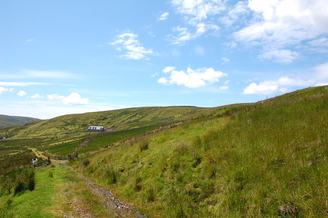
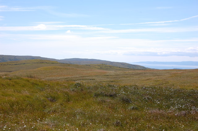
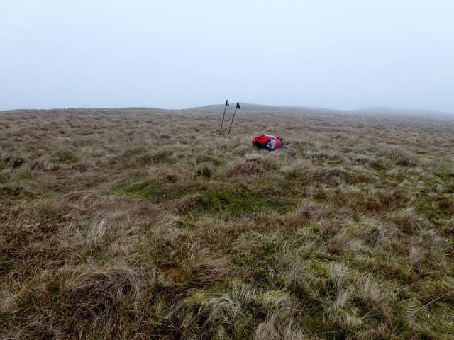
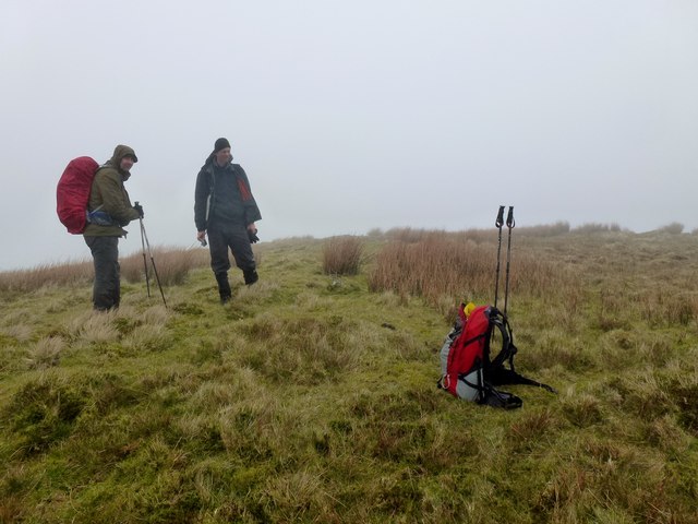
The hill is predominantly covered in heather and grass, with scattered patches of woodland on its lower slopes. Its terrain is relatively gentle, making it accessible to hikers of various skill levels. From its summit, visitors are rewarded with breathtaking panoramic views of the surrounding countryside, including the nearby Galloway Hills to the south and the Firth of Clyde to the west.

Brown Hill holds historical significance as well. It is said to have been a site of ancient settlements, with evidence of Iron Age forts and burial mounds being discovered in the vicinity. The hill's strategic positioning would have made it an ideal defensive location in earlier times.

Today, Brown Hill attracts outdoor enthusiasts seeking recreational activities such as hiking, birdwatching, and photography. Its peaceful and serene environment offers a tranquil escape from the hustle and bustle of daily life. Whether it is exploring the hill's natural beauty or immersing oneself in its rich history, Brown Hill is a destination that captivates visitors with its charm and allure.

If you have any feedback on the listing, please let us know in the comments section below.
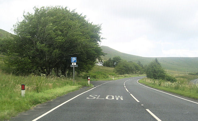
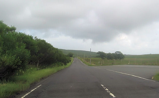
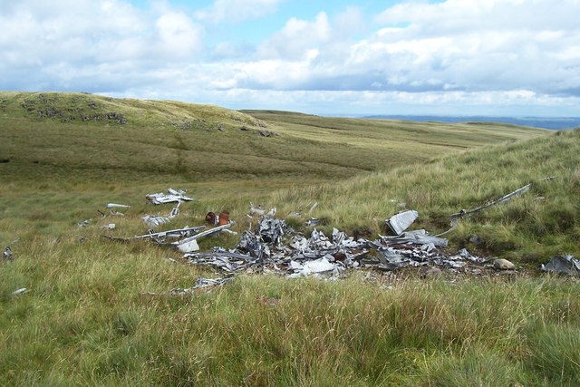
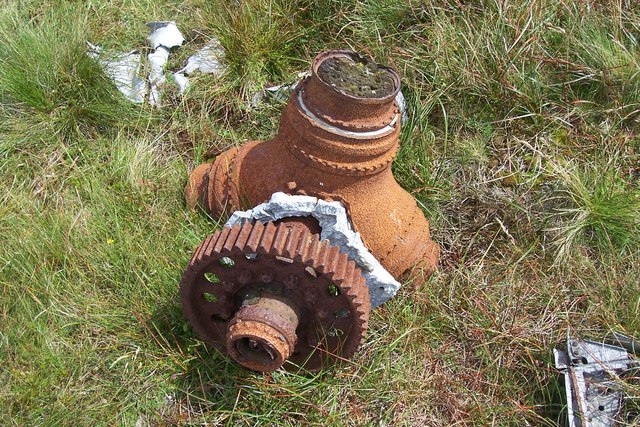
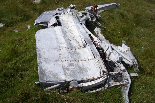
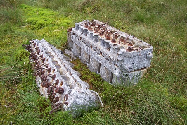
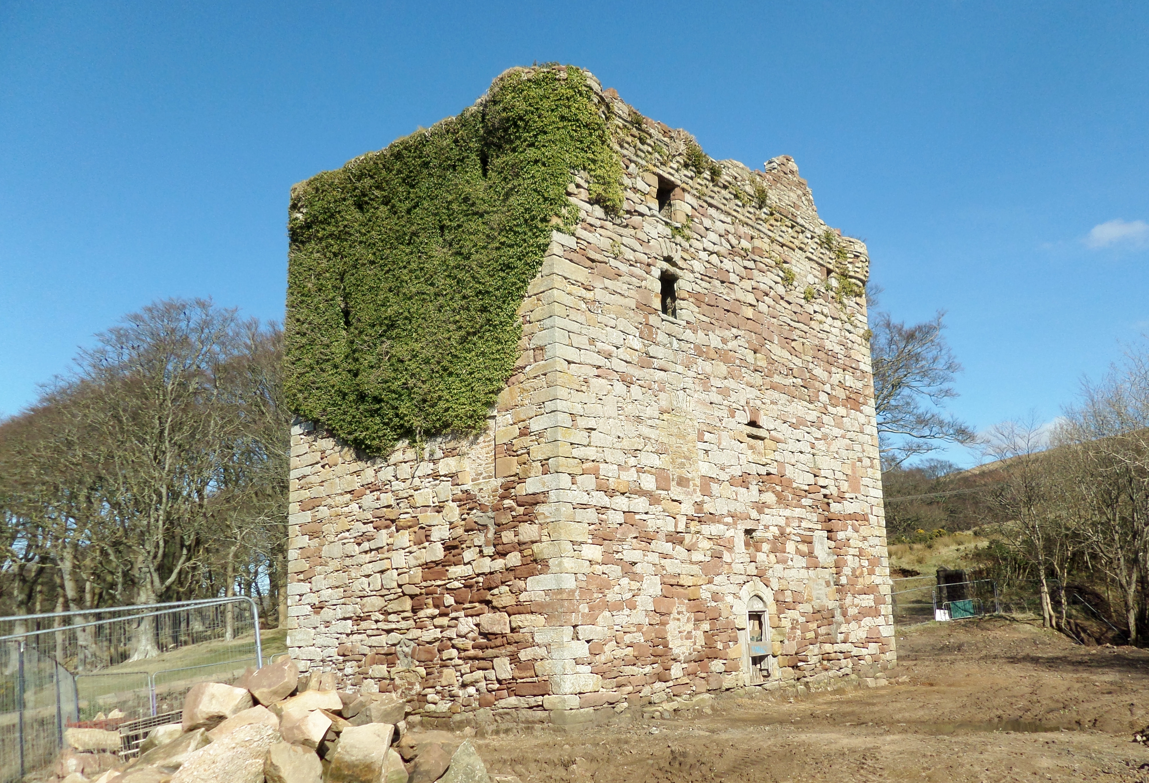
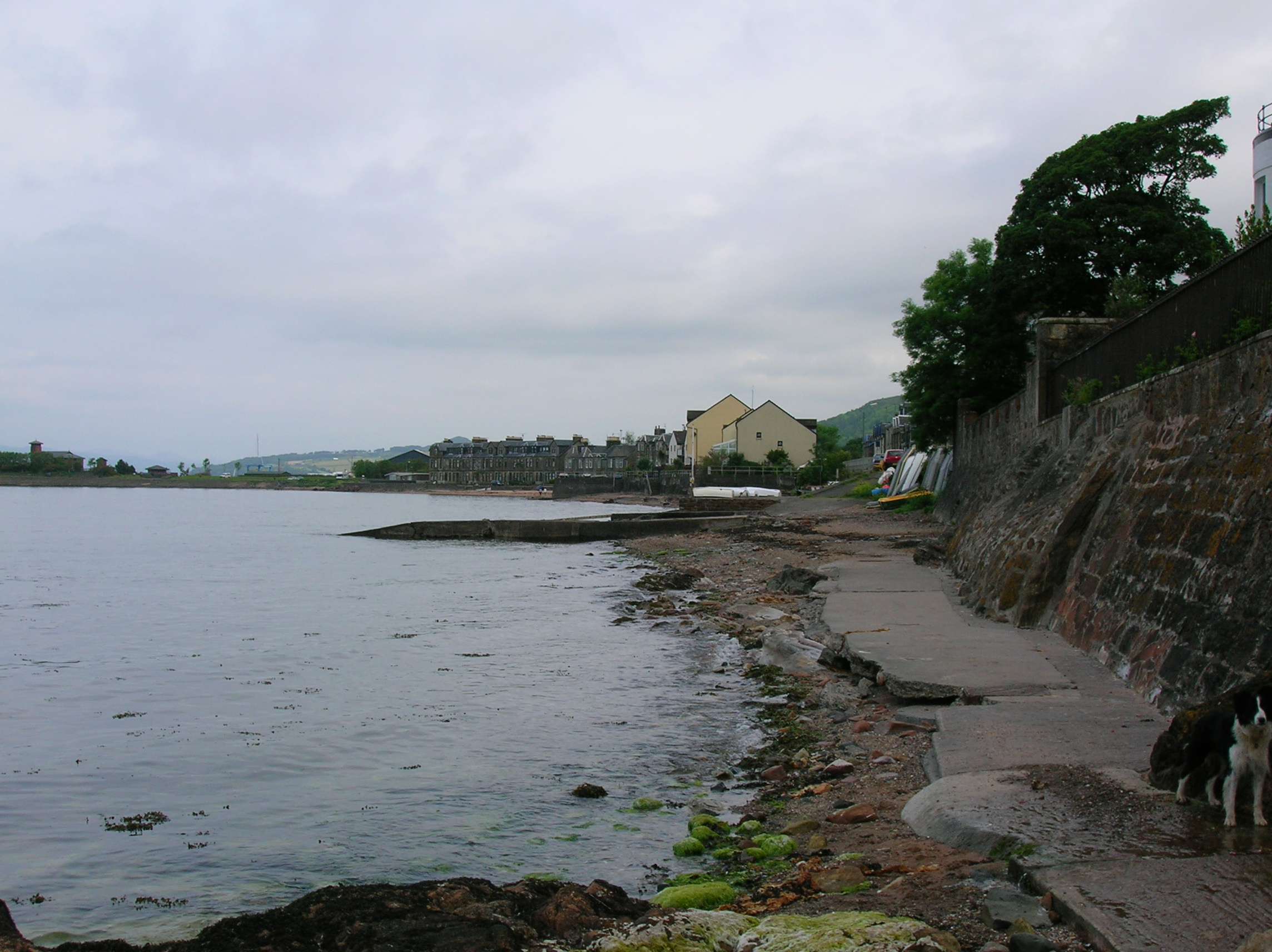
Brown Hill Images

Images are sourced within 2km of 55.770055/-4.7985251 or Grid Reference NS2456. Thanks to Geograph Open Source API. All images are credited.

Looking south towards Howcraigs Taken on a walk up to pattons hill and box law.
Looking south towards Howcraigs
Taken on a walk up to pattons hill and box law.
Looking towards the stone walls across Windy Hill and Rigging hill
Wind farm access road near summit Blackloch hill Almost at the top of the main access road just a steep tight corner to go round the side of White Knowes and Blackloch Hill with a background of the new turbines.
Wind farm access road near summit Blackloch hill
Almost at the top of the main access road just a steep tight corner to go round the side of White Knowes and Blackloch Hill with a background of the new turbines.
A760 approaching Recycling Centre
A760 bend near Fechan
Fechan from A760
Fechan from A760
A760 passing Muirhead reservoir Road from boathouse on right
A760 passing Muirhead reservoir
Road from boathouse on right
Boathouse road junction with A760
Blaeloch Hill Done with Bob, Adrian & Mark after Wee Cumbrae. Started in good visibility however this did not last but bagged Brown Hill, a P30 on way down in the drizzly mist.

Name: Blaeloch Hill
Hill number: 1685
Height: 407m / 1335ft
Area: 27A: Ayr to the River Clyde
Class: Ma
Grid ref: NS 24329 55317
Summit feature: no feature
Drop: 185m
Col: 222m  NS240574
Blaeloch Hill
Done with Bob, Adrian & Mark after Wee Cumbrae. Started in good visibility however this did not last but bagged Brown Hill, a P30 on way down in the drizzly mist. Name: Blaeloch Hill Hill number: 1685 Height: 407m / 1335ft Area: 27A: Ayr to the River Clyde Class: Ma Grid ref: NS 24329 55317 Summit feature: no feature Drop: 185m Col: 222m NS240574
Brown Hill Bagged Brown Hill a P30 with Adrian and Mark after Blaeloch Hill, with Bob Taylor preferring to descend via windfarm access track.
Brown Hill
Bagged Brown Hill a P30 with Adrian and Mark after Blaeloch Hill, with Bob Taylor preferring to descend via windfarm access track.
Fairey Firefly Remains On Blaeloch Hill A view of the main bulk of the debris with Blaeloch Hill summit in the distance to the left.
Fairey Firefly Remains On Blaeloch Hill
A view of the main bulk of the debris with Blaeloch Hill summit in the distance to the left.
Fairey Firefly Propeller Hub The propeller hub and reduction gear from the Firefly.
Fairey Firefly Propeller Hub
The propeller hub and reduction gear from the Firefly.
Fairey Firefly Wing Section Firefly remains on Blaeloch Hill.
Fairey Firefly Wing Section
Firefly remains on Blaeloch Hill.
A Fairey Firefly's Rolls-Royce Griffon Engine Corroding remains of the RR Griffon engine are sinking into the peaty soil.
A Fairey Firefly's Rolls-Royce Griffon Engine
Corroding remains of the RR Griffon engine are sinking into the peaty soil.
Frosty Morning Moon Viewed from Beith. Garnock Valley filled with fog. Note the wind turbines on the hills.
Frosty Morning Moon
Viewed from Beith. Garnock Valley filled with fog. Note the wind turbines on the hills.
Cairn on SW top of Blaeloch Hill
Kelburn Wind Farm Control Room & Education Centre
Waymarked route to Fairlie Glen
Show me another place!

Brown Hill is located at Grid Ref: NS2456 (Lat: 55.770055, Lng: -4.7985251)

Unitary Authority: North Ayrshire

Police Authority: Ayrshire

What 3 Words

///cheered.fictional.partly. Near Fairlie, North Ayrshire

Nearby Locations

Brown Hill

Related Wikis

Kelburn Castle

Kelburn Castle is a large house near Fairlie, North Ayrshire, Scotland. It is the seat of the Earl of Glasgow. Originally built in the thirteenth century...

Irish Law (mountain)

Irish Law is a mountain located in North Ayrshire, Scotland near the town of Largs. It has an elevation of 484 metres (1,588 ft) and a prominence of 80...

Fairlie Castle

Fairlie Castle is a restored oblong tower castle located on a natural rounded knoll situated above a precipitous section of the Fairlie Glen near the town...

Fairlie, North Ayrshire

Fairlie is a village in North Ayrshire, Scotland. == Location and status == Fairlie sits on the eastern shore of the Firth of Clyde and looks across to...

Nearby Amenities

Located within 500m of 55.770055,-4.7985251
Brown Hill
Corbett: no
Ele: 344
Graham: no
Marilyn: no
Munro: no
Natural: peak
Lat/Long: 55.7700693/-4.7985624
The data included in this document is from www.openstreetmap.org. The data is made available under ODbL.

Have you been to Brown Hill?

Leave your review of Brown Hill below (or comments, questions and feedback).